Interactive map
Canton of Basel-Stadt Map
Every municipality, city and town in the Canton of Basel-Stadt on one zoomable map, with its main highways, rivers and lakes. Switch on towns and municipalities above the map and zoom in for every name; tap a municipality to see its population, area and largest towns.
Loading the map…
Printable maps of the Canton of Basel-Stadt
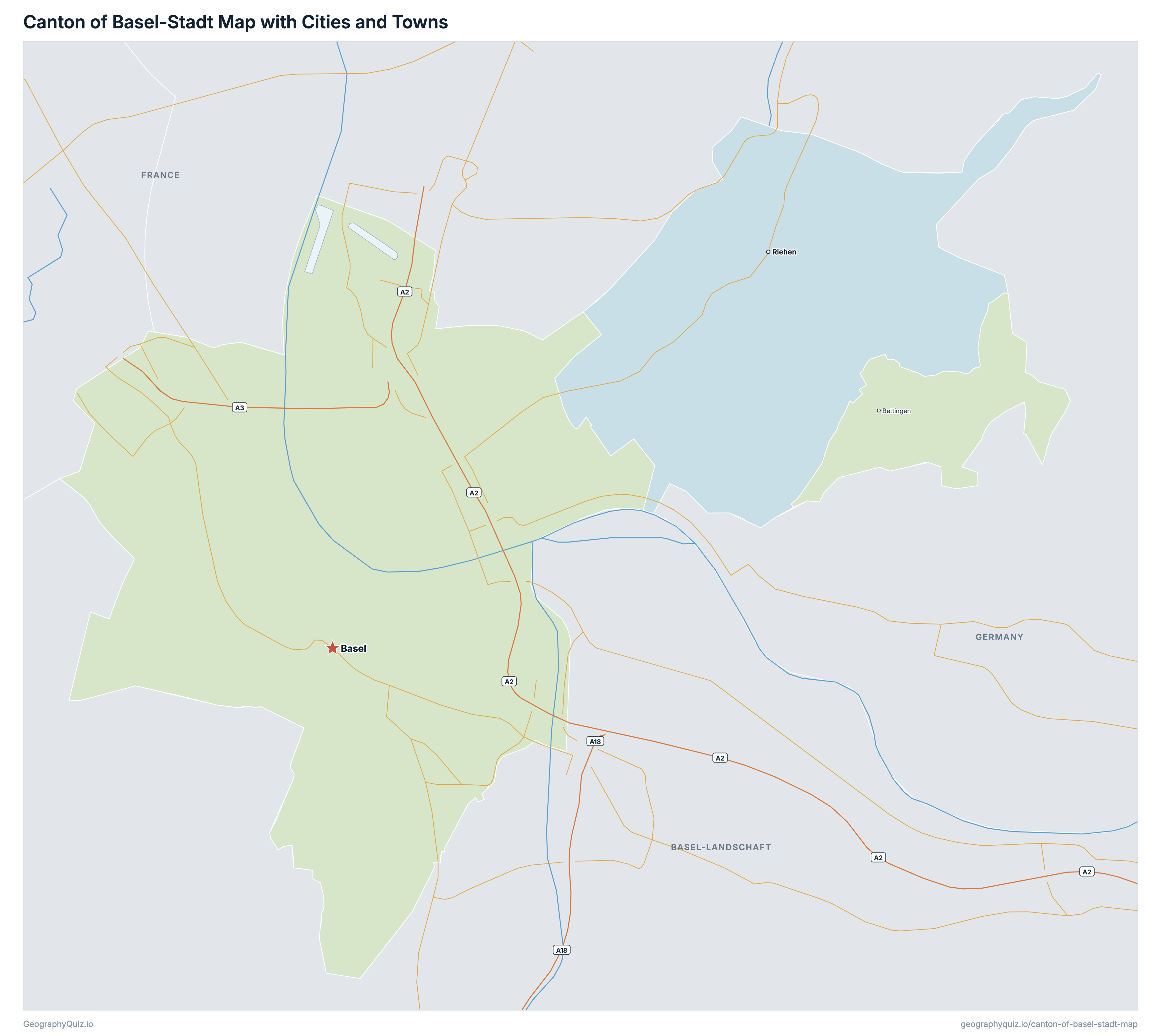
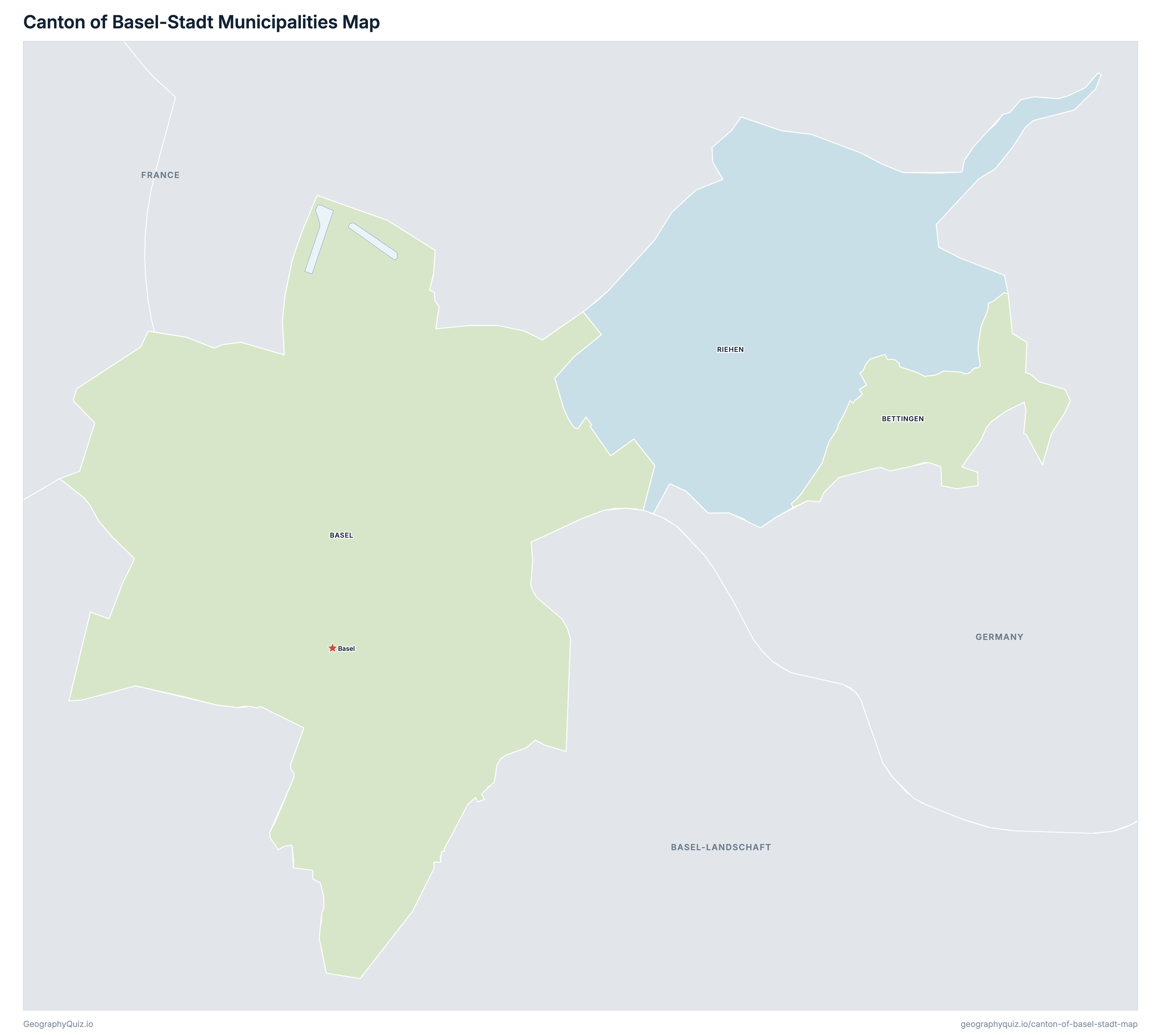
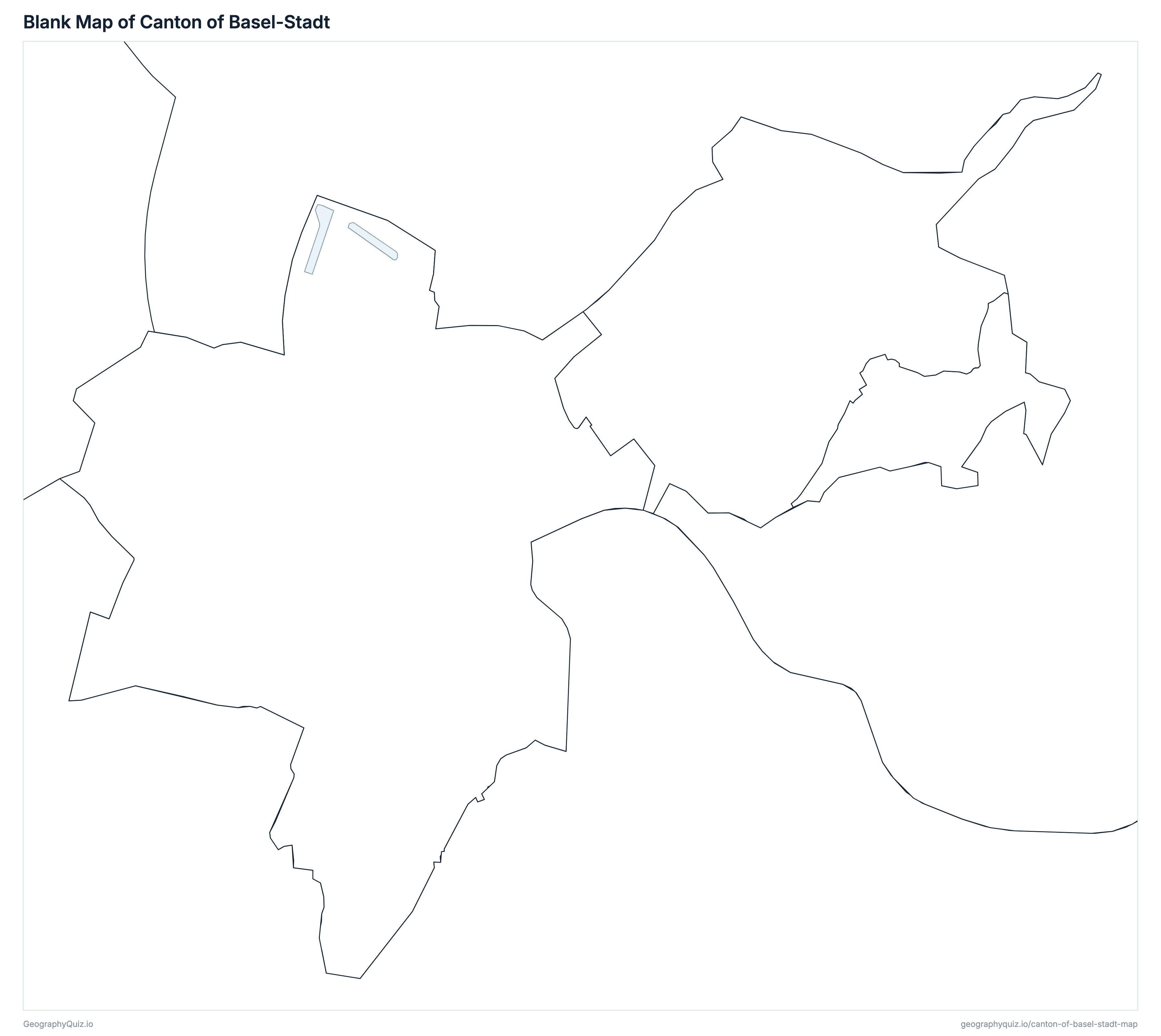
Free to print for class and home: the Canton of Basel-Stadt with its cities and towns, a map of its municipalities, and a blank outline map. PDFs fit one A4 or US Letter page.
Canton of Basel-Stadt map with cities
Canton of Basel-Stadt municipalities map
Key facts
- Capital
- Basel
- Largest city
- Basel (180,097)
- Population
- 204,157 (2025)
- Area
- 37 km² (14 sq mi)
- Municipalities of the Canton of Basel-Stadt
- 3
- Most populous municipality
- Basel (180,097)
- Largest municipality by area
- Basel, 24 km² (9 sq mi)
About the Canton of Basel-Stadt
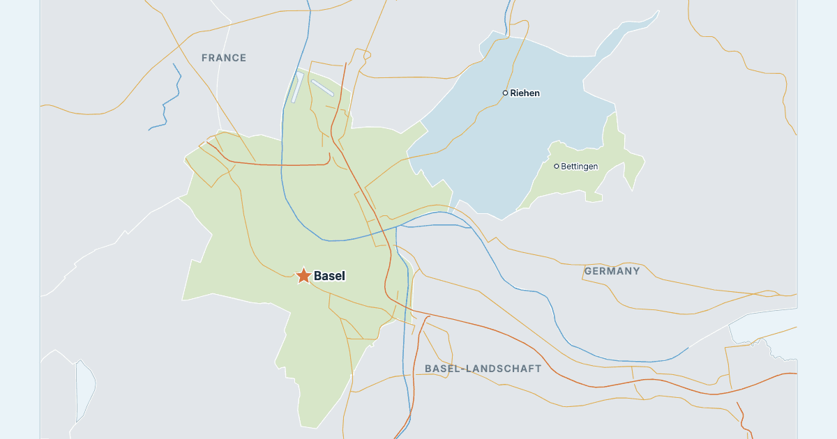
The Canton of Basel-Stadt has 3 municipalities and about 204,157 people (2025) on 37 km² (14 sq mi). Basel is both the capital and the largest city, with 180,097 people. It borders Basel-Landschaft, France and Germany.
Basel is the most populous municipality (180,097 people) and Bettingen the least (1,286); Basel is the largest by area (24 km²) and Bettingen the smallest (2 km²).
Largest cities in the Canton of Basel-Stadt
The 3 most populous cities and towns. All 3 are on the map above: switch on Towns and zoom in to see them.
| # | City | Municipality | Population |
|---|---|---|---|
| 1 | Basel | Basel | 180,097 |
| 2 | Riehen | Riehen | 22,774 |
| 3 | Bettingen | Bettingen | 1,286 |
The Federal Statistical Office does not divide the canton into districts, so the map's members are its 3 municipalities. Populations are the FSO's permanent resident population on 31 December 2025 (STATPOP), in the municipalities of 1 January 2026; the canton's 204,157 is their sum.
Municipalities of the Canton of Basel-Stadt
All 3 municipalities. Select one to show it on the map.
| Municipality | 180,097 | 24 | |
| Municipality | 1,286 | 2 | |
| Municipality | 22,774 | 11 |
Quizzes and worksheets
Sources
- Districts, municipalities and cantons: swisstopo, swissBOUNDARIES3D, edition 2026-01 (the boundaries of 1 January 2026, with land and lake areas), data.geo.admin.ch.
- District names and the municipalities in each: Federal Statistical Office (FSO), official register of Swiss municipalities, state on 1 January 2026 (agvchapp.bfs.admin.ch).
- Populations: FSO, STATPOP, permanent resident population on 31 December 2025 by municipality (table px-x-0102010000_101), counted in the municipalities of 1 January 2026.
- National roads: Federal Roads Office (FEDRO), national road axes (ch.astra.nationalstrassenachsen), data.geo.admin.ch.
- Main roads, lakes, rivers and town locations: swisstopo, swissTLMRegio 2026.