Interactive map
Map of South America
All 12 countries of South America on a zoomable map, from Colombia to Tierra del Fuego. Tap or click a country to see its flag, capital, population, area, official languages and currency. Zoom in to see every name, capital, river and mountain: where labels would overlap, some only appear as you get closer.
Loading the map…
Download the map
Free to print for your class or your wall: the labelled map in colour, with every capital, or a blank outline map to fill in.
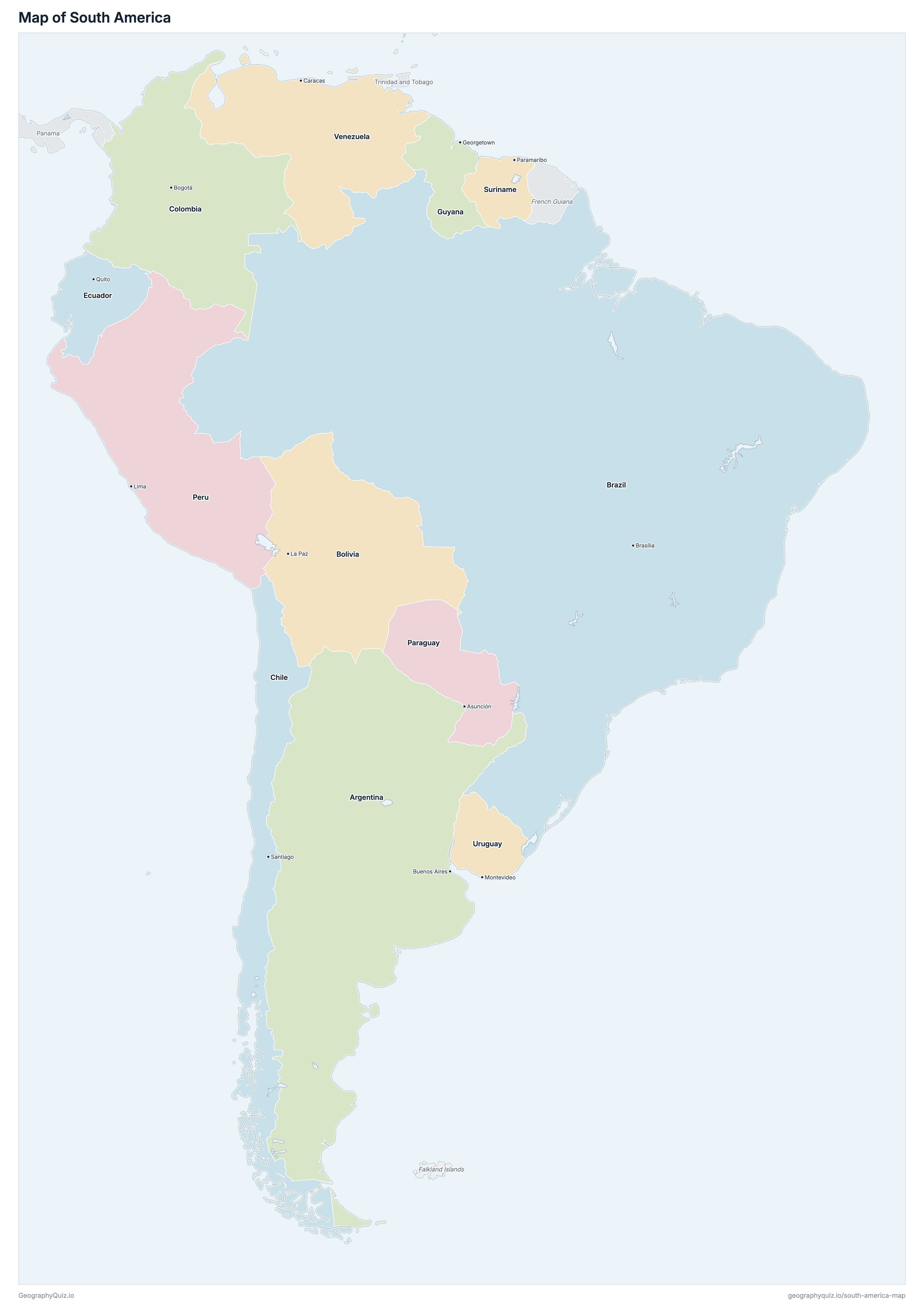
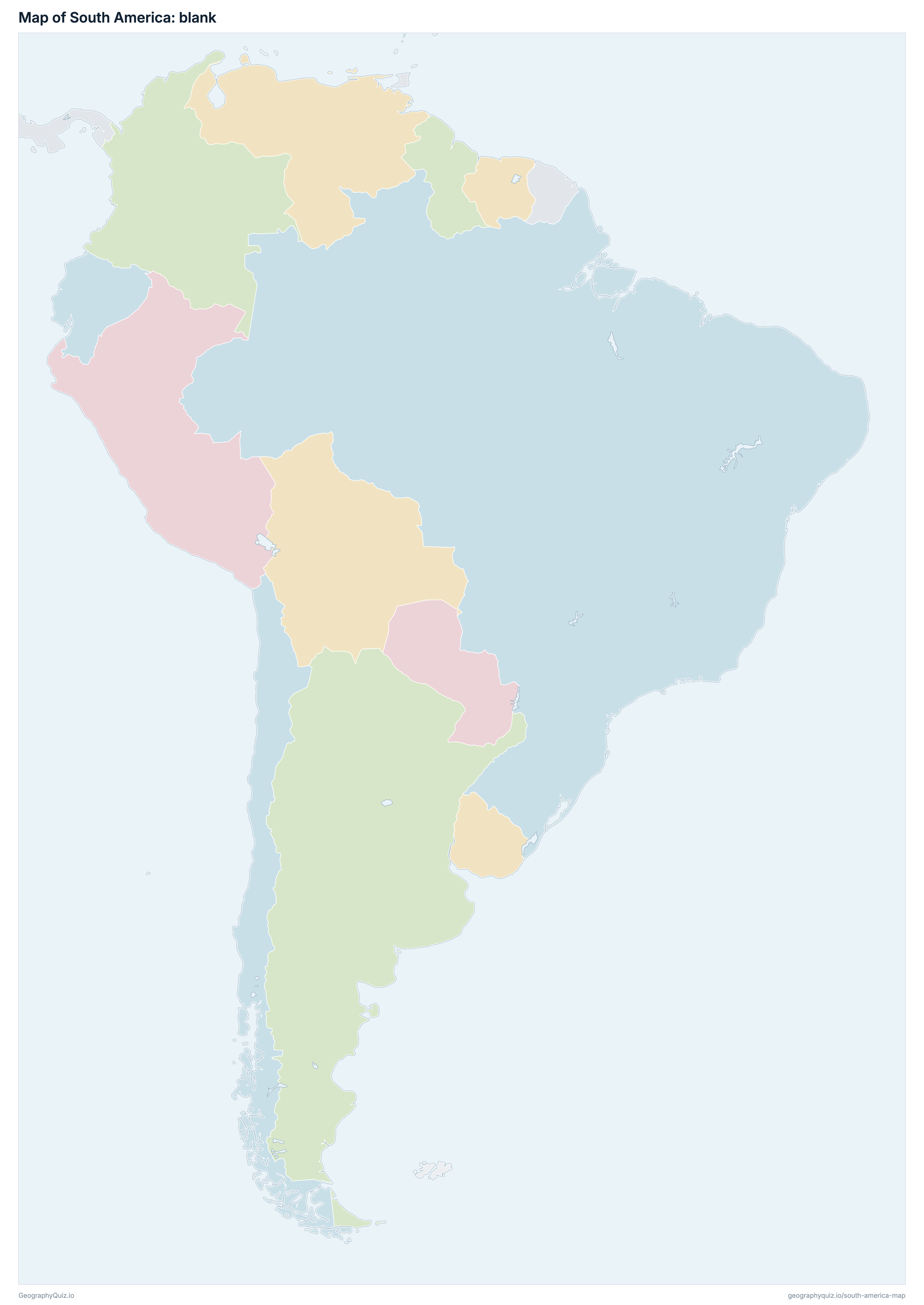
Learn the map of South America
About South America
South America has 12 countries, home to about 443.7 million people across 17,732,346 km² (6,846,494 sq mi).
The largest country by area is Brazil, at 8,515,770 km², about 48% of the total; the smallest is Suriname, at 163,820 km².
Brazil has the most people, about 221.4 million (50% of the total), and Suriname the fewest, about 653,605. The most densely populated is Ecuador, with about 65 people per km².
2 of the 12 countries are landlocked: Bolivia and Paraguay.
Countries of South America and their capitals
All 12 countries, with each capital, population and area. Sort by any column, or select a name to show it on the map.
| Buenos Aires | 45,418,098 | 2,780,400 | |
| La Paz | 12,436,103 | 1,098,581 | |
| Brasília | 221,359,387 | 8,515,770 | |
| Santiago | 19,091,343 | 756,102 | |
| Bogotá | 49,842,298 | 1,138,910 | |
| Quito | 18,479,841 | 283,561 | |
| Georgetown | 794,099 | 214,969 | |
| Asunción | 7,604,044 | 406,752 | |
| Lima | 32,768,614 | 1,285,216 | |
| Paramaribo | 653,605 | 163,820 | |
| Montevideo | 3,449,444 | 176,215 | |
| Caracas | 31,755,435 | 912,050 |
South America has 12 independent countries. French Guiana is part of France, and the Falkland Islands are a British Overseas Territory also claimed by Argentina.
Sources
- Capitals and official languages: national constitutions and government sources.
- Currencies: the ISO 4217 currency list and national central banks, checked October 2026.
- Borders, coastlines, rivers and mountains: official sources. Disputed borders are shown as they are commonly drawn, which is not an endorsement of any claim.
- Population and area: CIA World Factbook (2024 and 2025 estimates; total area including inland water), which capitals and languages were also checked against.