Interactive map
Map of North America
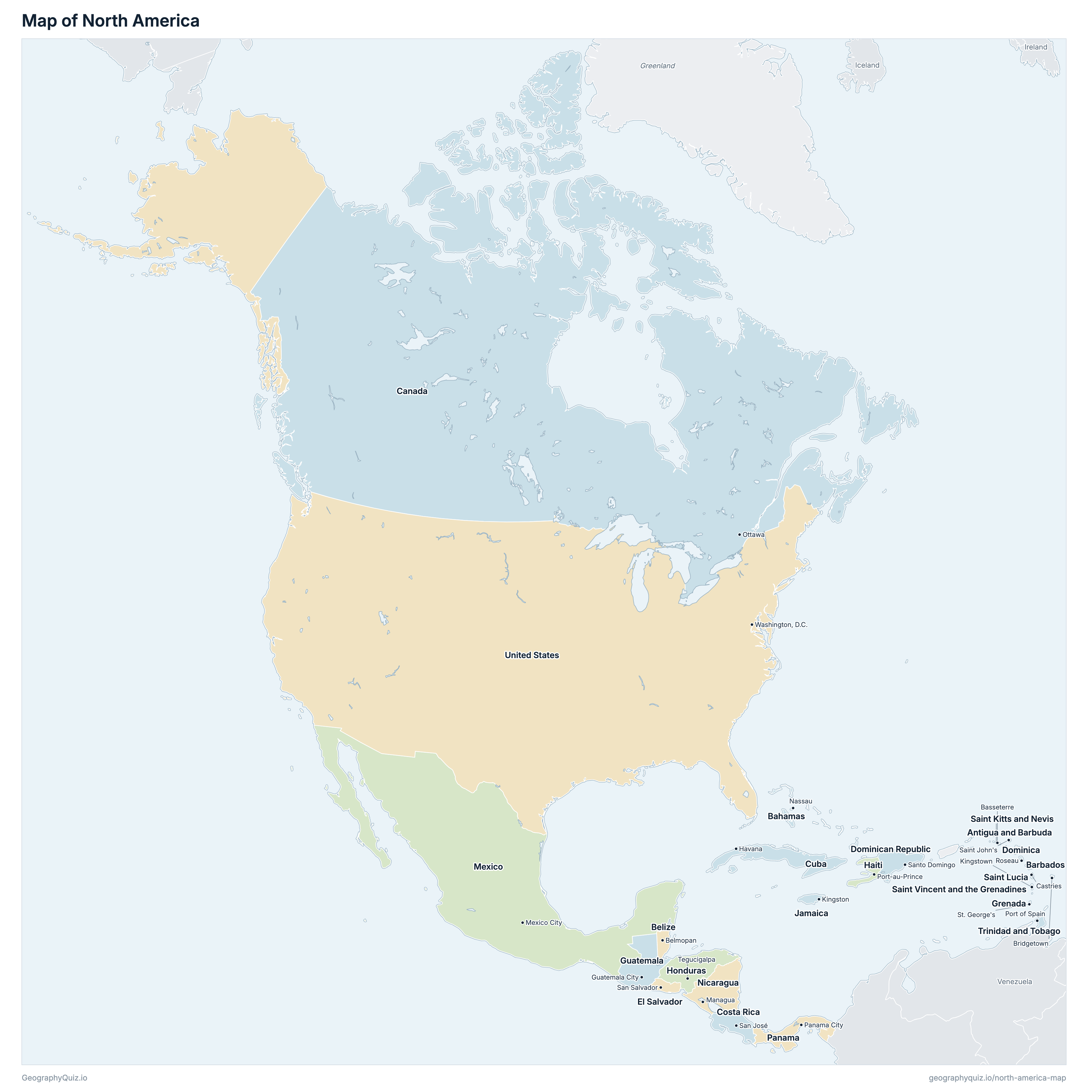
All 23 countries of North America on a zoomable map: Canada, the United States, Mexico, Central America and the Caribbean. Tap or click a country to see its flag, capital, population, area, official languages and currency. Zoom in to see every name, capital, river and mountain: where labels would overlap, some only appear as you get closer.
Loading the map…
Download the map
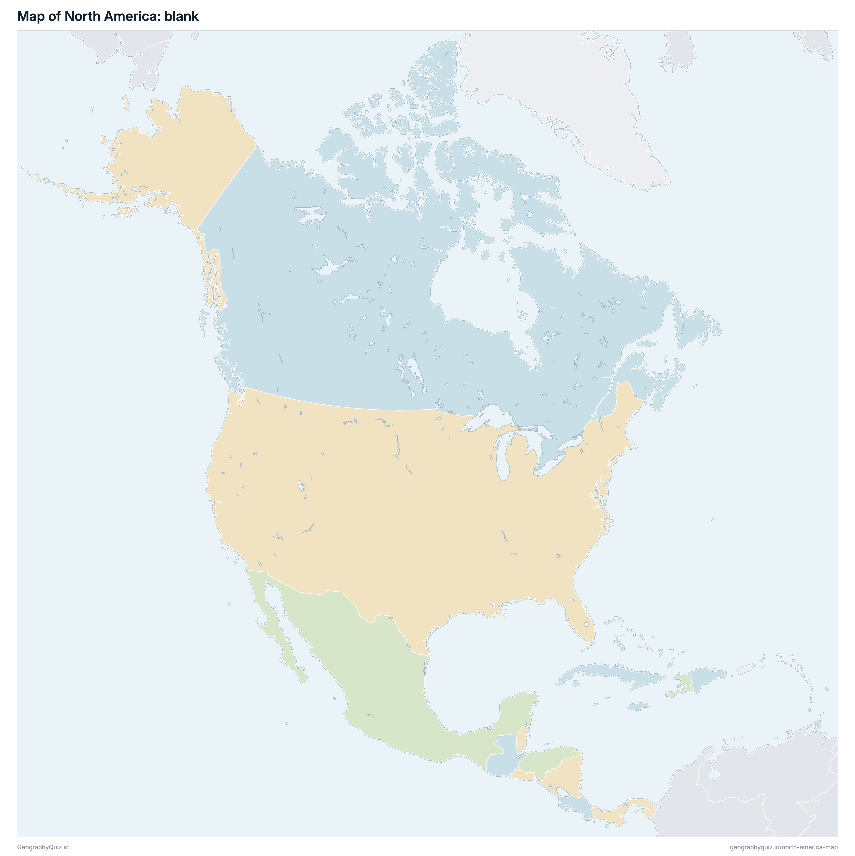
Free to print for your class or your wall: the labelled map in colour, with every capital, or a blank outline map to fill in.
Learn the map of North America
About North America
North America has 23 countries, home to about 597.6 million people across 22,524,951 km² (8,696,929 sq mi).
The largest country by area is Canada, at 9,984,670 km², about 44% of the total; the smallest is Saint Kitts and Nevis, at 261 km².
United States has the most people, about 338 million (57% of the total), and Saint Kitts and Nevis the fewest, about 55,434. The most densely populated is Barbados, with about 707 people per km².
None of the 23 countries is landlocked: every one has a coastline.
Countries of North America and their capitals
All 23 countries, with each capital, population and area. Sort by any column, or select a name to show it on the map.
| Saint John's | 102,634 | 443 | |
| Nassau | 415,306 | 13,880 | |
| Bridgetown | 304,139 | 430 | |
| Belmopan | 421,960 | 22,966 | |
| Ottawa | 39,187,155 | 9,984,670 | |
| San José | 5,304,932 | 51,100 | |
| Havana | 10,059,519 | 110,860 | |
| Roseau | 74,661 | 751 | |
| Santo Domingo | 10,899,292 | 48,670 | |
| San Salvador | 6,334,723 | 21,041 | |
| St. George's | 114,621 | 344 | |
| Guatemala City | 18,255,216 | 108,889 | |
| Port-au-Prince | 11,898,812 | 27,750 | |
| Tegucigalpa | 9,529,188 | 112,090 | |
| Kingston | 2,938,503 | 10,991 | |
| Mexico City | 130,739,927 | 1,964,375 | |
| Managua | 6,739,380 | 130,370 | |
| Panama City | 4,536,008 | 75,420 | |
| Basseterre | 55,434 | 261 | |
| Castries | 168,462 | 616 | |
| Kingstown | 100,647 | 389 | |
| Port of Spain | 1,410,170 | 5,128 | |
| Washington, D.C. | 338,016,259 | 9,833,517 |
North America includes Central America and the Caribbean. Greenland, an autonomous territory of Denmark, and territories such as Puerto Rico are shown in grey.
Sources
- Capitals and official languages: national constitutions and government sources.
- Currencies: the ISO 4217 currency list and national central banks, checked October 2026.
- Borders, coastlines, rivers and mountains: official sources. Disputed borders are shown as they are commonly drawn, which is not an endorsement of any claim.
- Population and area: CIA World Factbook (2024 and 2025 estimates; total area including inland water), which capitals and languages were also checked against.