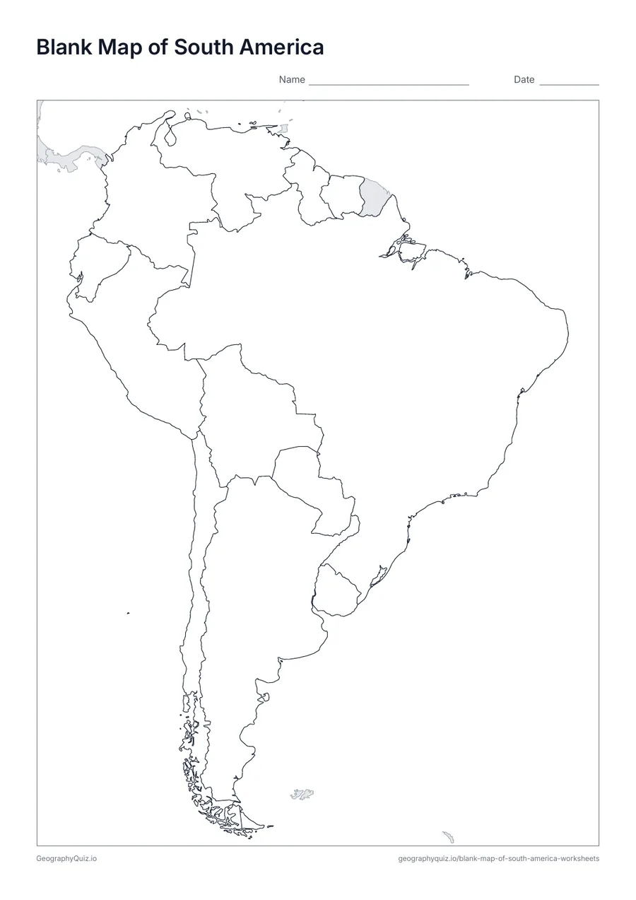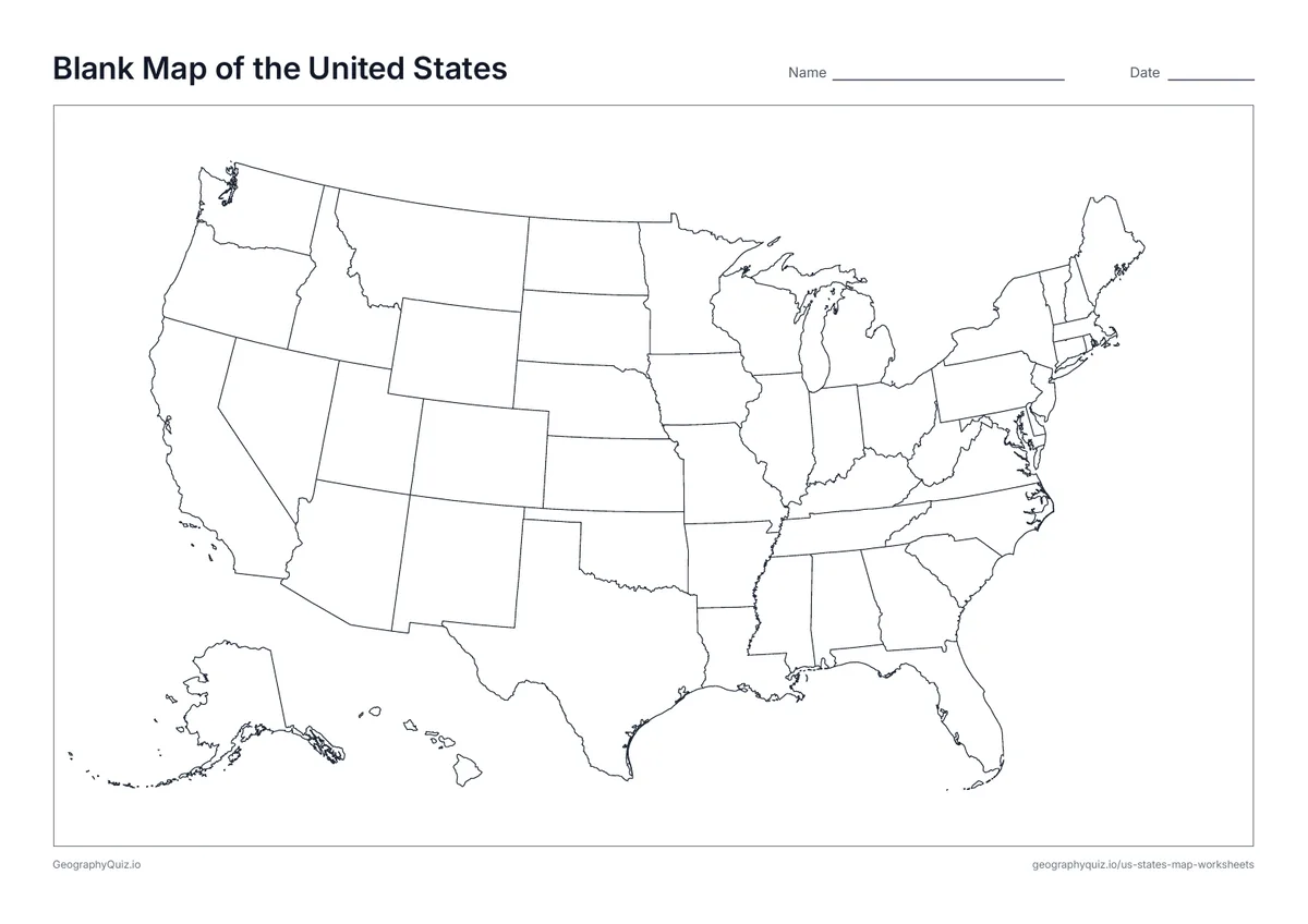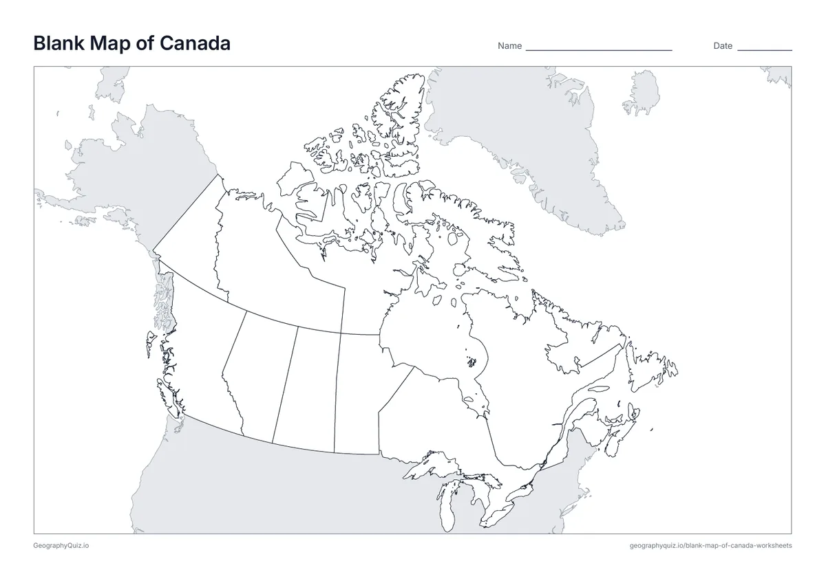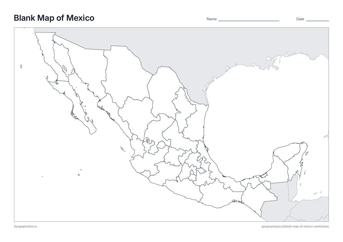
A4 portrait · 1 page · Outline map
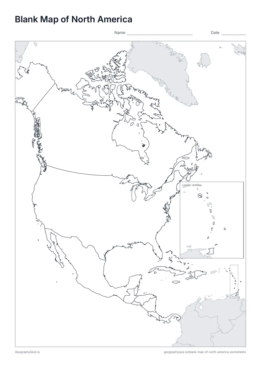
Blank Map of North America
An outline map of North America with every country border and nothing else, ready for labelling, colouring or your own activity.
Free teacher resource
Printable maps of North America including Central America and the Caribbean: a blank outline map, a numbered label-the-countries sheet, a labelled map and a capitals sheet.
Every sheet comes as an A4 and a US Letter PDF.Print it, then play it
A4 portrait · 1 page · Outline map
An outline map of North America with every country border and nothing else, ready for labelling, colouring or your own activity.
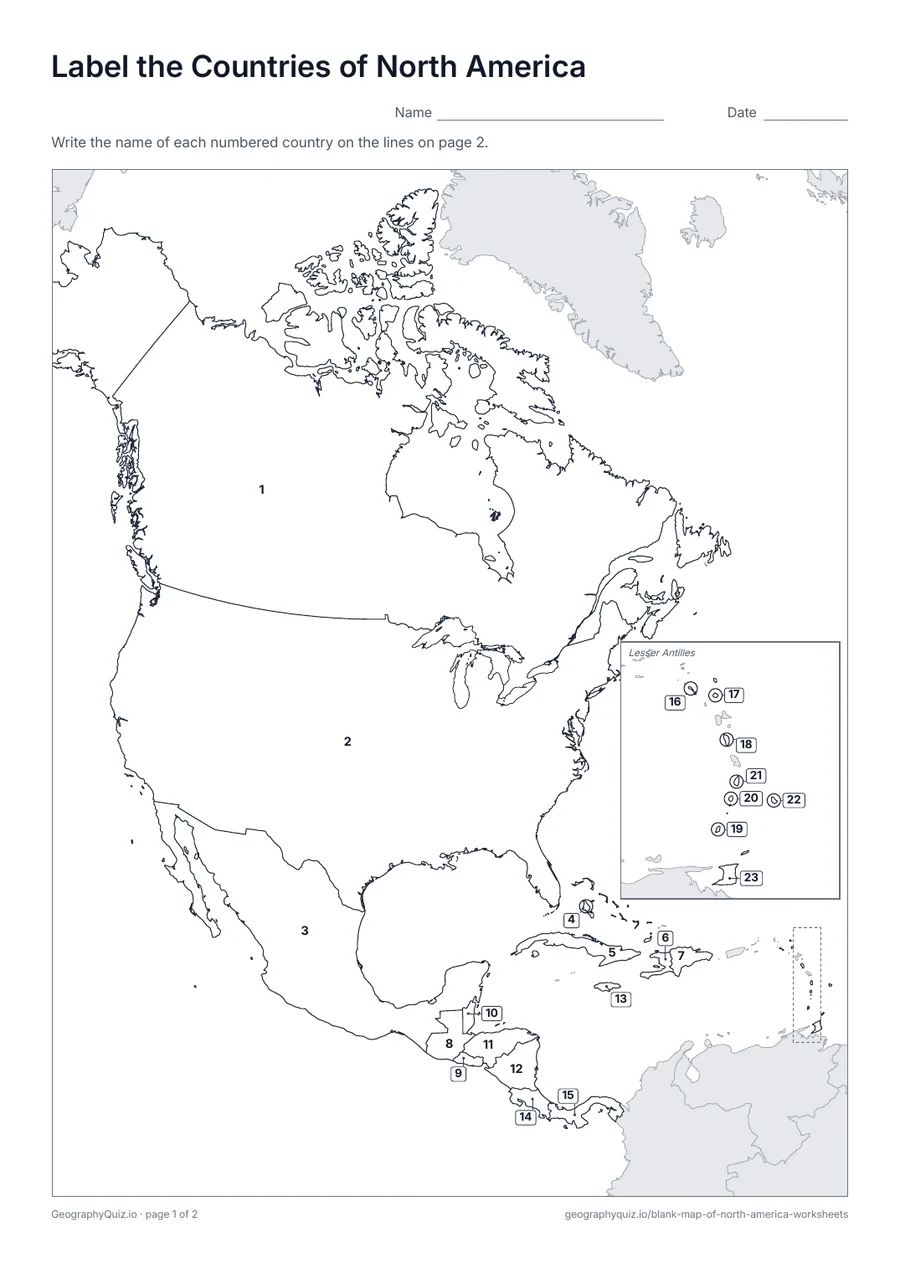
A4 portrait · 2 pages · 23 to label
Every North American country carries a number. Pupils write the country names on the numbered lines; small countries get a clear leader line.
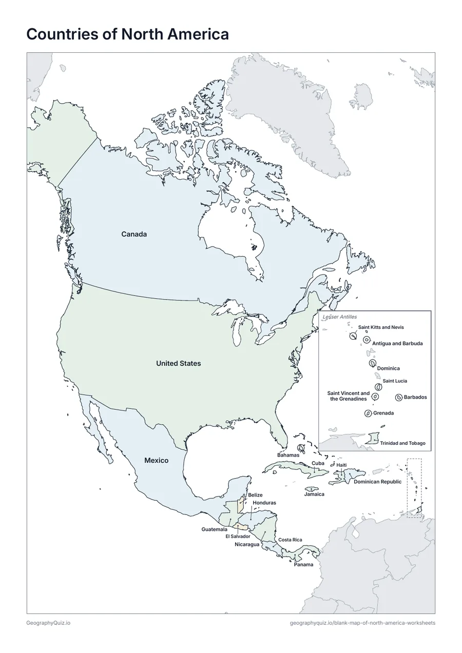
A4 portrait · 1 page · Reference map
The same map with all 23 country names printed on it. Use it as a reference sheet, a revision handout or to check pupils' work.
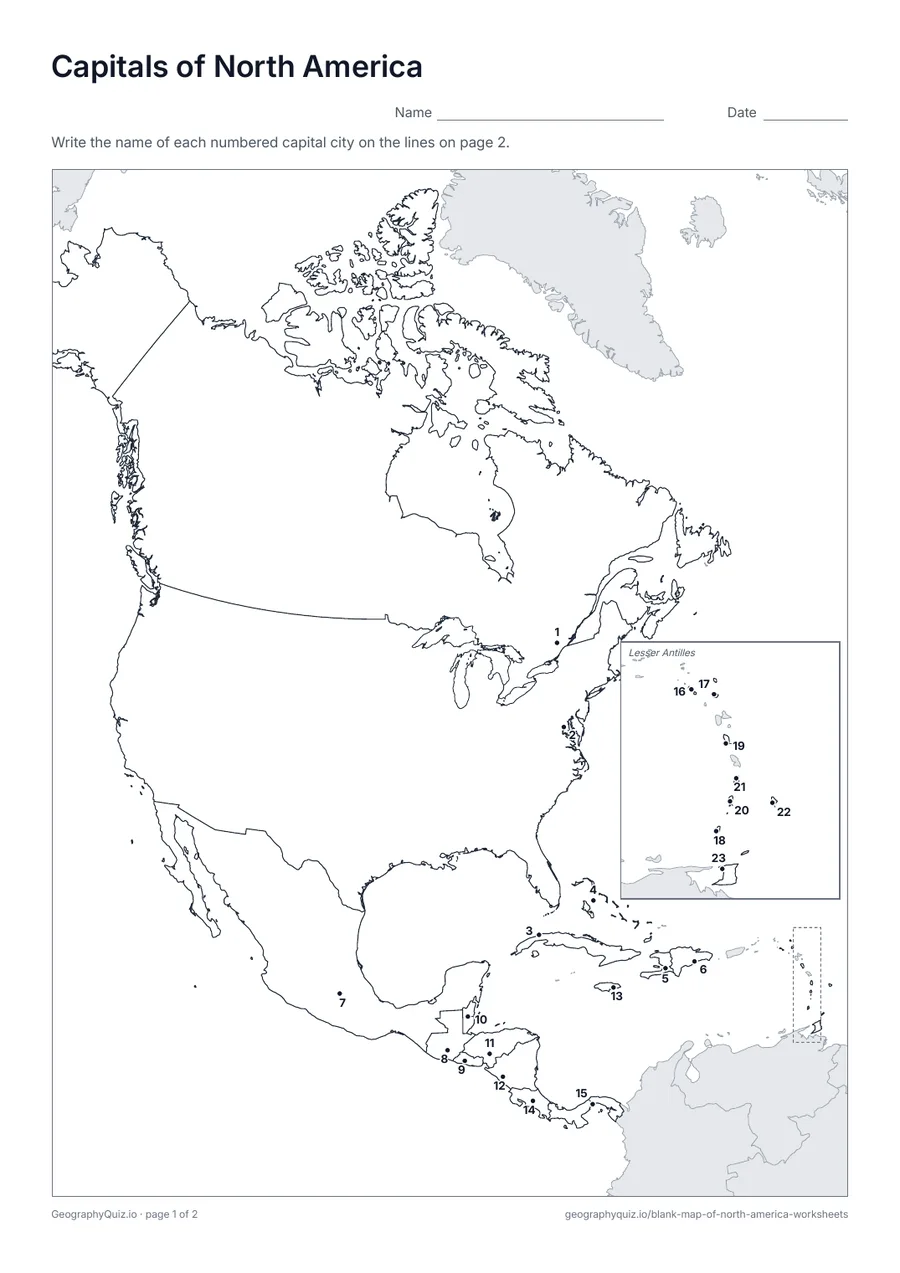
A4 portrait · 2 pages · 23 capitals
Each capital city is marked with a numbered dot. Pupils name the capitals on the numbered lines.
For teachers
The small island nations of the Lesser Antilles are repeated in an enlarged inset box, so each one can be numbered and labelled. Greenland is shaded grey as part of the Kingdom of Denmark.
On the label-it and capitals sheets, pupils write the names on the numbered lines; the labelled map doubles as a reference sheet. All sheets are crisp black line maps with light shading, so they photocopy and print cleanly in black and white.
Print it, then play it