Interactive map
Salzburg Map
Every district, city and town in Salzburg on one zoomable map, with its main highways, rivers and lakes. Switch on towns and districts above the map and zoom in for every name; tap a district to see its population, area and largest towns.
Loading the map…
Printable maps of Salzburg
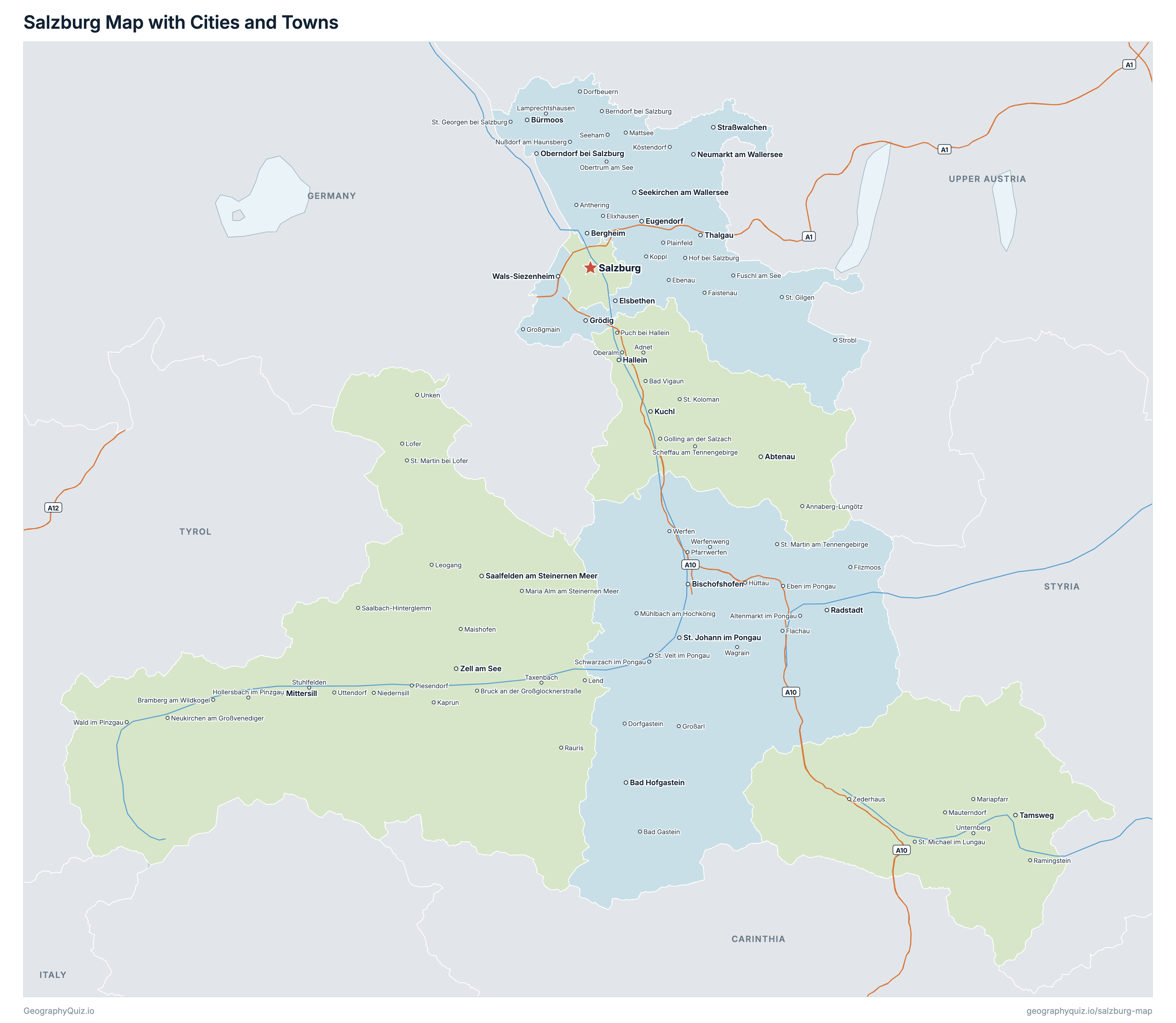
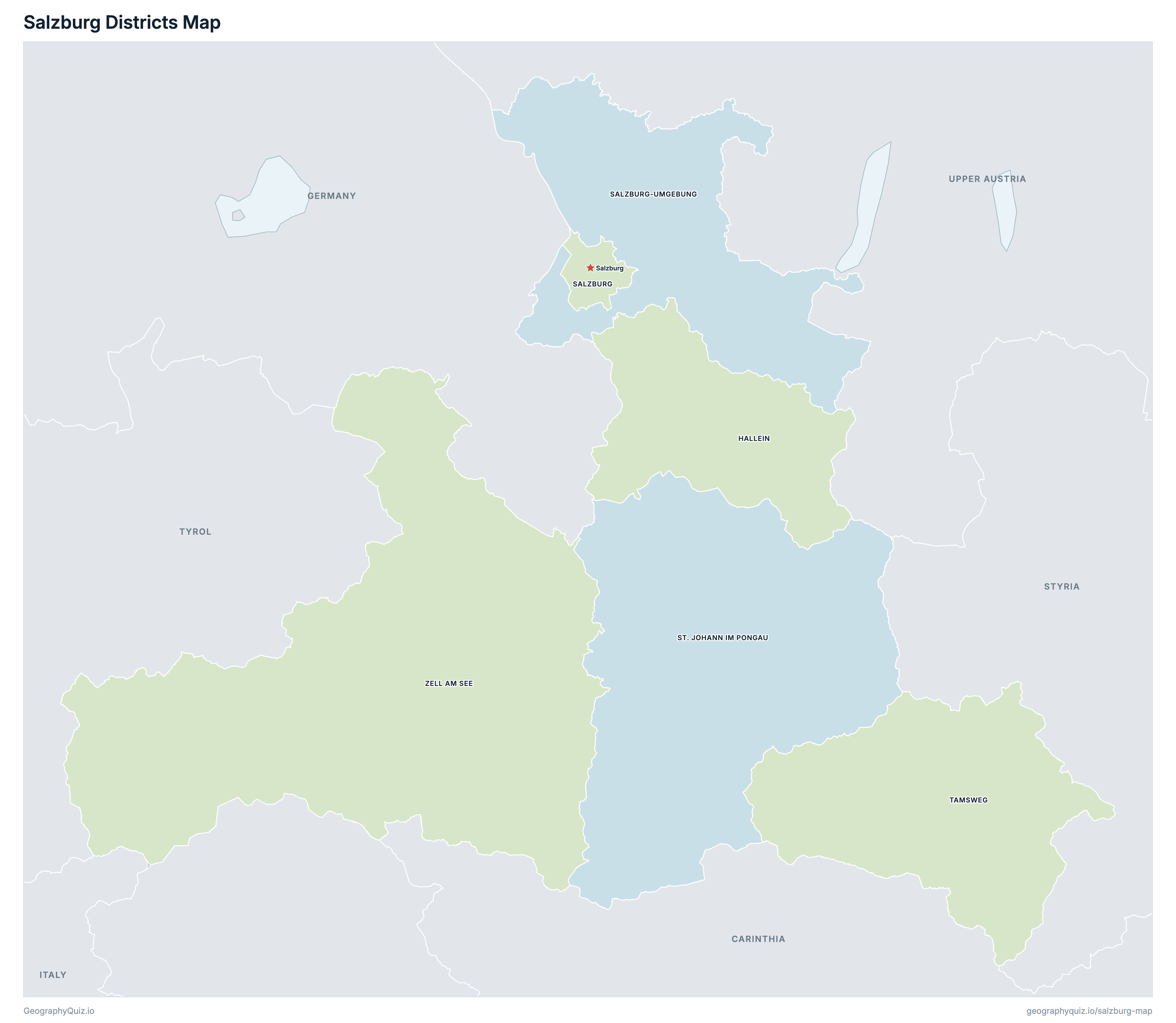
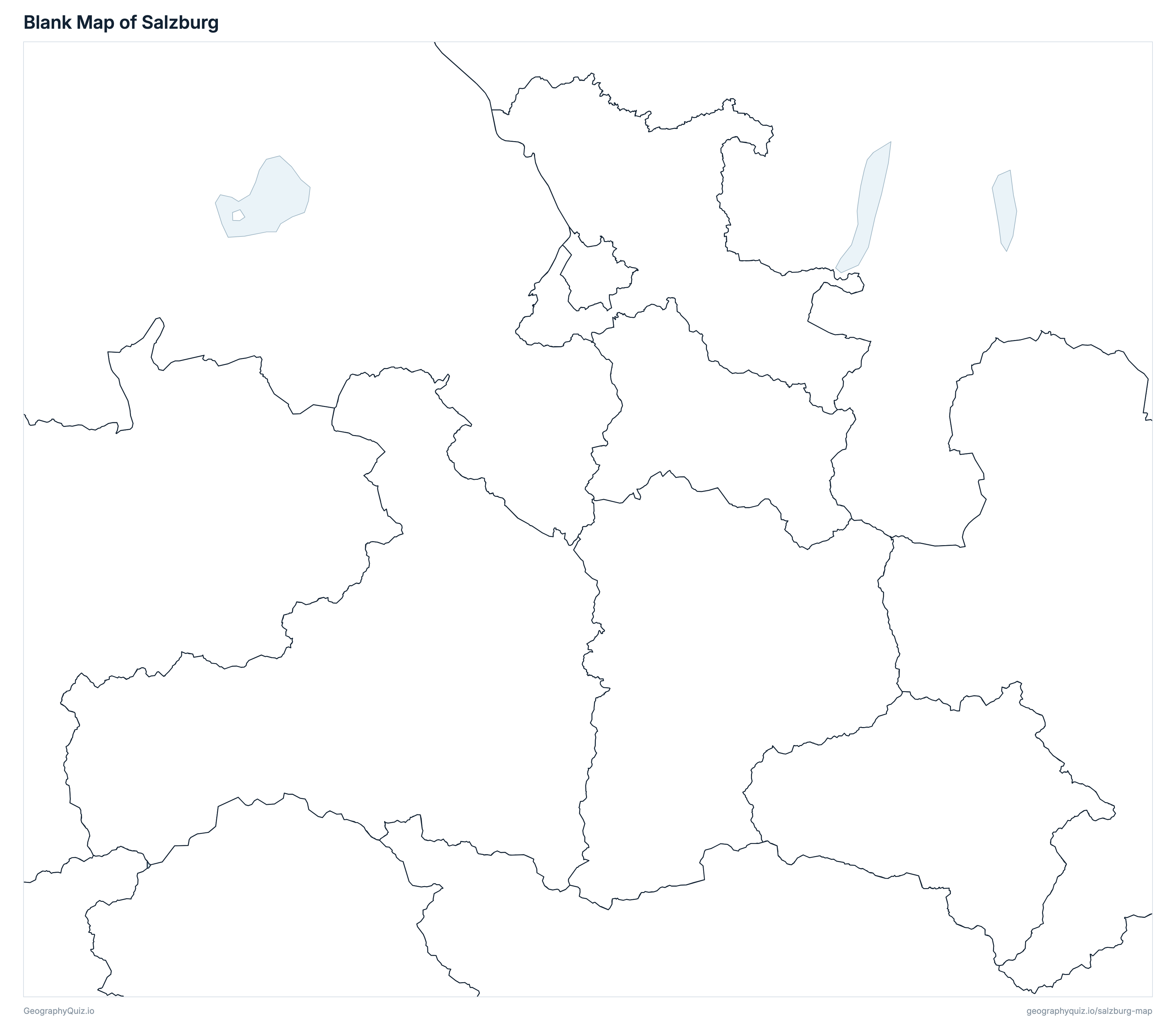
Free to print for class and home: Salzburg with its cities and towns, a map of its districts, and a blank outline map. PDFs fit one A4 or US Letter page.
Salzburg map with cities
Salzburg districts map
Key facts
- Capital
- Salzburg
- Largest city
- Salzburg (157,834)
- Population
- 573,526 (2026)
- Area
- 7,155 km² (2,763 sq mi)
- Districts of Salzburg
- 6
- Most populous district
- Salzburg-Umgebung (159,753)
- Largest district by area
- Zell am See, 2,641 km² (1,020 sq mi)
About Salzburg
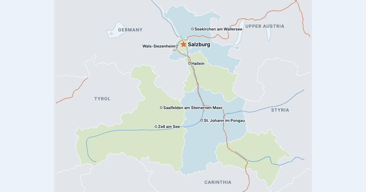
Salzburg has 6 districts and about 573,526 people (2026) on 7,155 km² (2,763 sq mi). Salzburg is both the capital and the largest city, with 157,834 people. It borders Carinthia, Upper Austria, Styria, Tyrol, Germany and Italy.
Salzburg-Umgebung is the most populous district (159,753 people) and Tamsweg the least (20,334); Zell am See is the largest by area (2,641 km²) and Salzburg the smallest (66 km²).
Largest cities in Salzburg
The 25 most populous cities and towns. All 119 are on the map above: switch on Towns and zoom in to see them.
| # | City | District | Population |
|---|---|---|---|
| 1 | Salzburg | Salzburg | 157,834 |
| 2 | Hallein | Hallein | 21,607 |
| 3 | Saalfelden am Steinernen Meer | Zell am See | 17,360 |
| 4 | Wals-Siezenheim | Salzburg-Umgebung | 14,452 |
| 5 | Seekirchen am Wallersee | Salzburg-Umgebung | 11,722 |
| 6 | St. Johann im Pongau | St. Johann im Pongau | 11,593 |
| 7 | Bischofshofen | St. Johann im Pongau | 10,804 |
| 8 | Zell am See | Zell am See | 10,217 |
| 9 | Straßwalchen | Salzburg-Umgebung | 8,219 |
| 10 | Kuchl | Hallein | 7,557 |
| 11 | Grödig | Salzburg-Umgebung | 7,385 |
| 12 | Eugendorf | Salzburg-Umgebung | 7,175 |
| 13 | Neumarkt am Wallersee | Salzburg-Umgebung | 6,720 |
| 14 | Bad Hofgastein | St. Johann im Pongau | 6,698 |
| 15 | Thalgau | Salzburg-Umgebung | 6,243 |
| 16 | Oberndorf bei Salzburg | Salzburg-Umgebung | 6,124 |
| 17 | Abtenau | Hallein | 6,014 |
| 18 | Bergheim | Salzburg-Umgebung | 5,790 |
| 19 | Mittersill | Zell am See | 5,720 |
| 20 | Tamsweg | Tamsweg | 5,719 |
| 21 | Elsbethen | Salzburg-Umgebung | 5,417 |
| 22 | Henndorf am Wallersee | Salzburg-Umgebung | 5,182 |
| 23 | Bürmoos | Salzburg-Umgebung | 5,089 |
| 24 | Radstadt | St. Johann im Pongau | 5,065 |
| 25 | Obertrum am See | Salzburg-Umgebung | 4,984 |
Populations are Statistik Austria's population on 1 January 2026, counted in the municipalities of that day; the districts add up to the state. Towns are whole municipalities (Gemeinden), so a town's figure stops at its boundary; the statutory city (Statutarstadt) is a district of its own.
Districts of Salzburg
All 6 districts. Select one to show it on the map.
| District | 62,185 | 668 | |
| Statutory city | 157,834 | 66 | |
| District | 159,753 | 1,004 | |
| District | 83,453 | 1,755 | |
| District | 20,334 | 1,020 | |
| District | 89,967 | 2,641 |
Quizzes and worksheets
Sources
- Districts: Statistik Austria, Gliederung Österreichs in politische Bezirke (STATISTIK_AUSTRIA_POLBEZ_20260101) and Gliederung Österreichs in Gemeinden (STATISTIK_AUSTRIA_GEM_20260101), the boundaries of 1 January 2026, open WFS, CC BY 4.0.
- Populations: Statistik Austria, Bevölkerung zu Jahresbeginn 2026, population on 1 January 2026 by municipality (OGD_bevstandjbab2002_BevStand_2026), data.statistik.gv.at, CC BY 4.0.
- Town locations: Statistik Austria, Gemeinden – Schwerpunkte, each municipality's population-weighted centre (STATISTIK_AUSTRIA_GEM_MP_20260101).
- District areas: BEV (Federal Office of Metrology and Surveying), Regionalinformation, cadastral areas on 31 December 2025, data.bev.gv.at, CC BY 4.0.
- Neighbouring states: Statistik Austria, Gliederung Österreichs in Gemeinden, 1 January 2026.
- Motorways and expressways: GIP.at, the Intermodal Transport Reference System for Austria (ÖVDAT), open data routing export, open.gip.gv.at, CC BY 4.0.