Interactive map
Nouvelle-Aquitaine Map
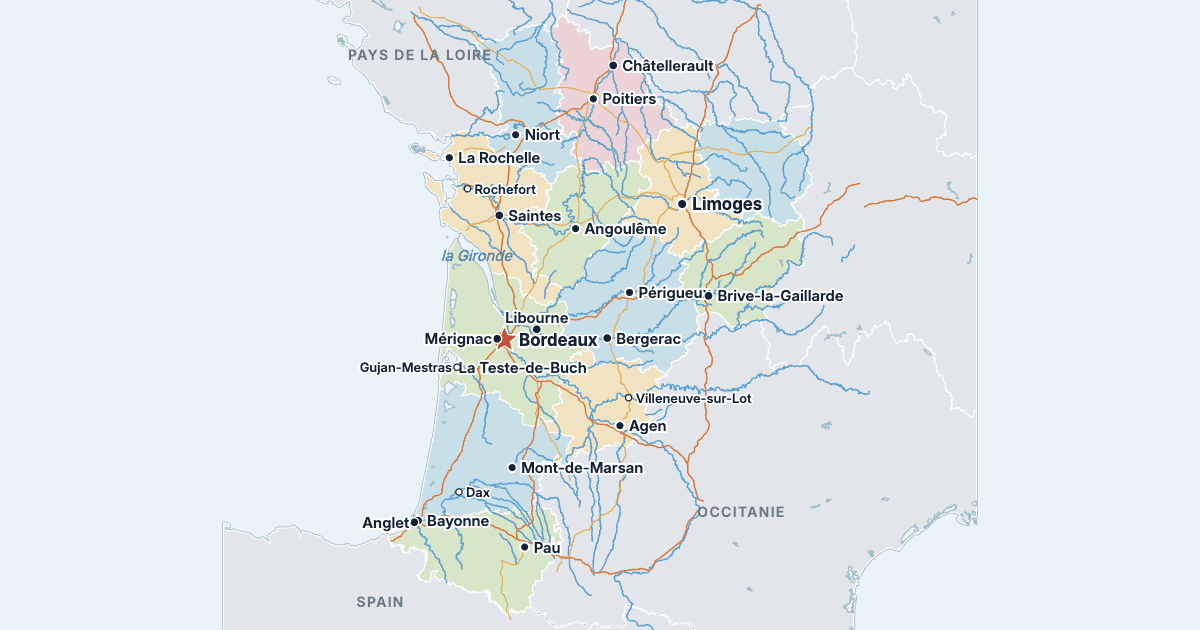
Every department, city and town in Nouvelle-Aquitaine on one zoomable map, with its main highways, rivers and lakes. Switch on towns and departments above the map and zoom in for every name; tap a department to see its population, area and largest towns.
Loading the map…
Printable maps of Nouvelle-Aquitaine
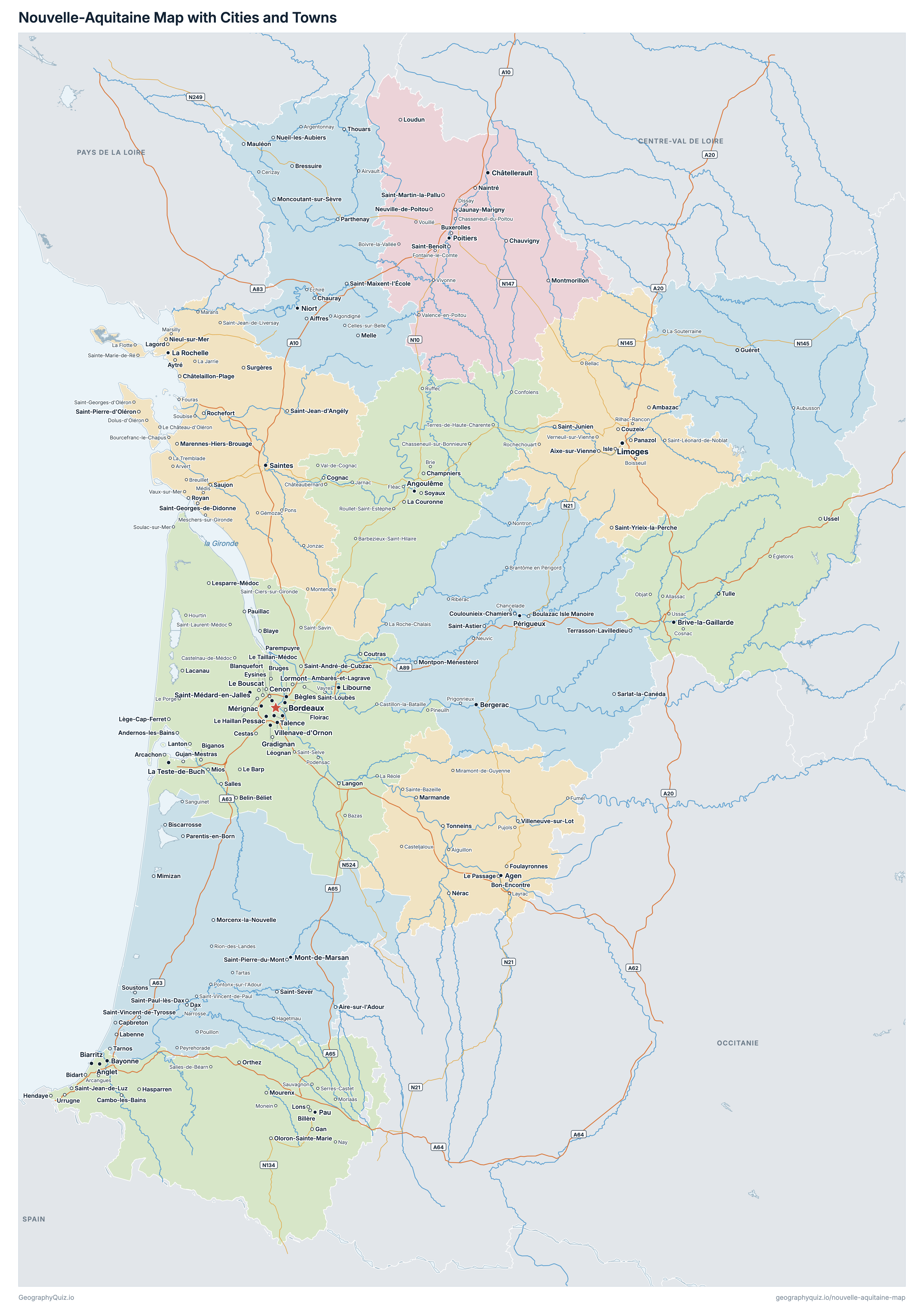
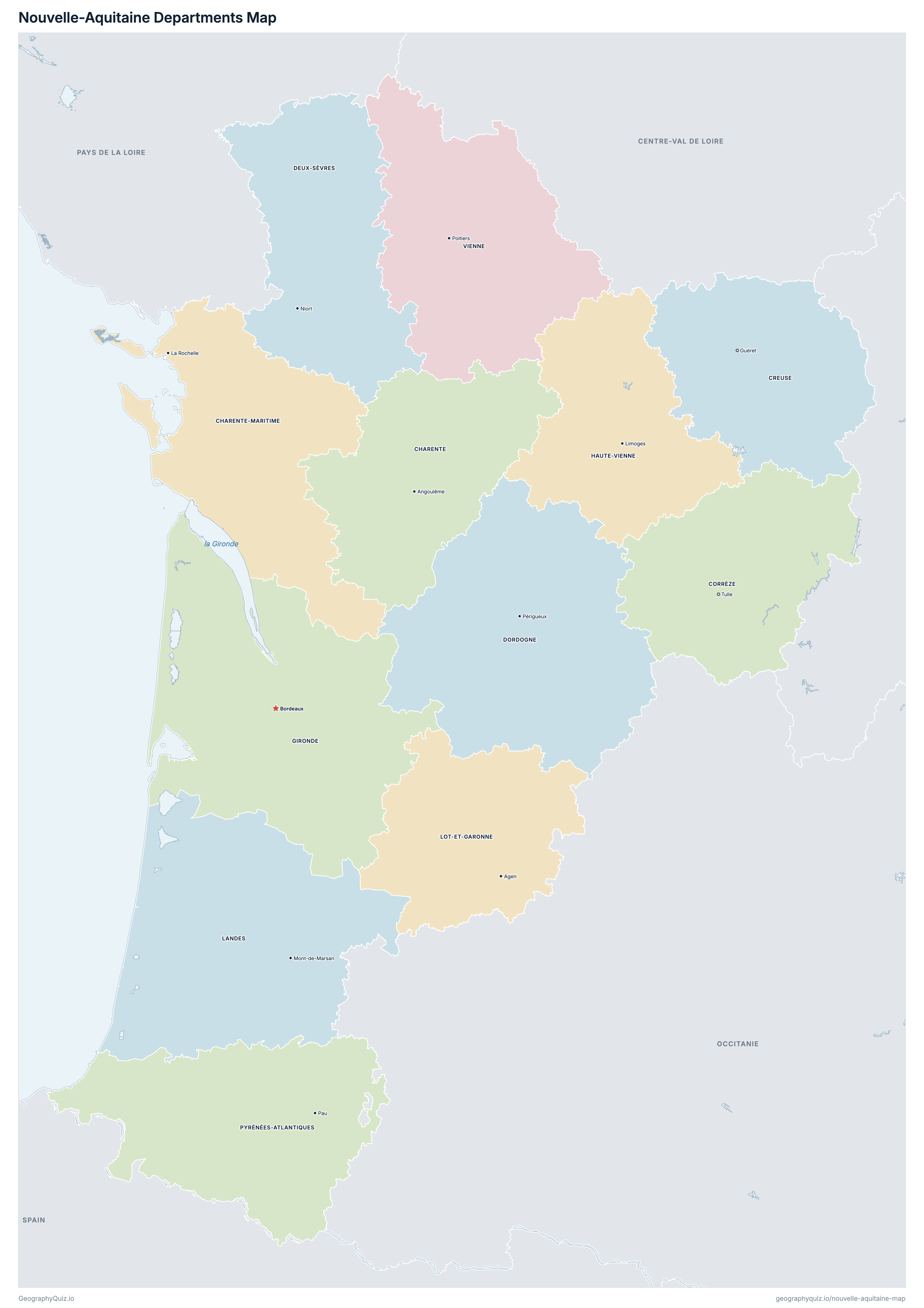
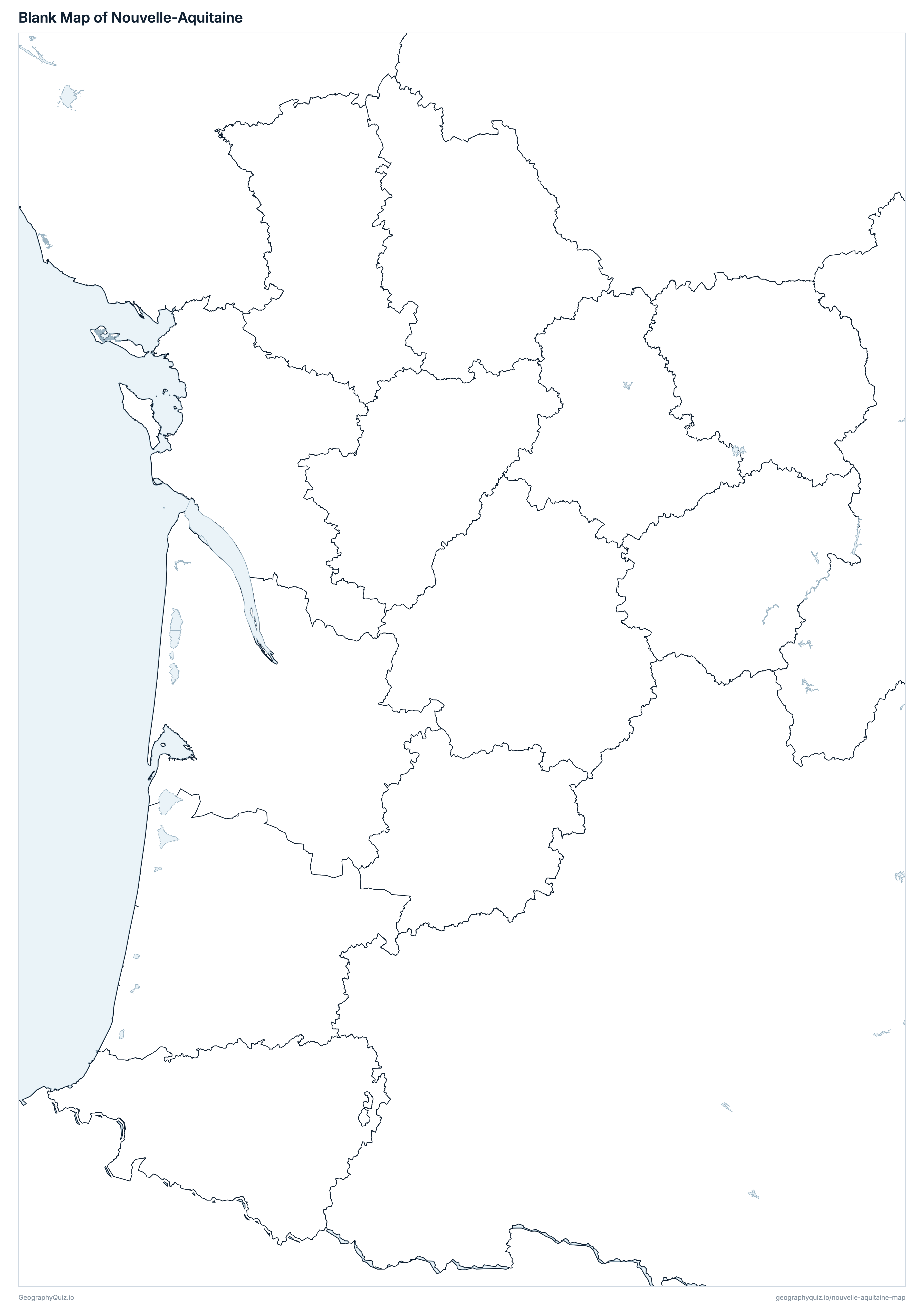
Free to print for class and home: Nouvelle-Aquitaine with its cities and towns, a map of its departments, and a blank outline map. PDFs fit one A4 or US Letter page.
Nouvelle-Aquitaine map with cities
Nouvelle-Aquitaine departments map
Key facts
- Capital
- Bordeaux
- Largest city
- Bordeaux (267,991)
- Population
- 6,150,451 (2023)
- Area
- 84,036 km² (32,446 sq mi)
- Departments of Nouvelle-Aquitaine
- 12
- Most populous department
- Gironde (1,690,493)
- Largest department by area
- Gironde, 9,975 km² (3,851 sq mi)
About Nouvelle-Aquitaine
Nouvelle-Aquitaine has 12 departments and about 6,150,451 people (2023) on 84,036 km² (32,446 sq mi). Bordeaux is both the capital and the largest city, with 267,991 people. It borders Auvergne-Rhône-Alpes, Centre-Val de Loire, Occitanie, Pays de la Loire and Spain.
Gironde is the most populous department (1,690,493 people) and Creuse the least (115,527); Gironde is the largest by area (9,975 km²) and Lot-et-Garonne the smallest (5,361 km²).
Largest cities in Nouvelle-Aquitaine
The 25 most populous cities and towns. All 351 are on the map above: switch on Towns and zoom in to see them.
| # | City | Department | Population |
|---|---|---|---|
| 1 | Bordeaux | Gironde | 267,991 |
| 2 | Limoges | Haute-Vienne | 129,937 |
| 3 | Poitiers | Vienne | 89,916 |
| 4 | Pau | Pyrénées-Atlantiques | 80,441 |
| 5 | La Rochelle | Charente-Maritime | 79,851 |
| 6 | Mérignac | Gironde | 78,090 |
| 7 | Pessac | Gironde | 67,339 |
| 8 | Niort | Deux-Sèvres | 59,854 |
| 9 | Bayonne | Pyrénées-Atlantiques | 54,306 |
| 10 | Brive-la-Gaillarde | Corrèze | 47,095 |
| 11 | Talence | Gironde | 46,338 |
| 12 | Anglet | Pyrénées-Atlantiques | 43,271 |
| 13 | Villenave-d'Ornon | Gironde | 42,545 |
| 14 | Angoulême | Charente | 41,908 |
| 15 | Saint-Médard-en-Jalles | Gironde | 32,910 |
| 16 | Agen | Lot-et-Garonne | 32,801 |
| 17 | Bègles | Gironde | 31,831 |
| 18 | Mont-de-Marsan | Landes | 31,592 |
| 19 | Châtellerault | Vienne | 31,003 |
| 20 | Périgueux | Dordogne | 29,055 |
| 21 | La Teste-de-Buch | Gironde | 27,566 |
| 22 | Bergerac | Dordogne | 27,110 |
| 23 | Gradignan | Gironde | 26,952 |
| 24 | Cenon | Gironde | 26,834 |
| 25 | Biarritz | Pyrénées-Atlantiques | 26,206 |
Populations are INSEE's populations légales 2023 (population municipale, in force on 1 January 2026); the 12 departments add up to the region's 6,150,451, as on the France map. Towns are communes at their town halls: every prefecture and sub-prefecture, and every other commune of 3,000 people or more.
Departments of Nouvelle-Aquitaine
All 12 departments. Select one to show it on the map.
| Angoulême | 352,683 | 5,956 | |
| La Rochelle | 672,279 | 6,864 | |
| Tulle | 240,826 | 5,857 | |
| Guéret | 115,527 | 5,565 | |
| Niort | 375,229 | 5,999 | |
| Périgueux | 417,614 | 9,060 | |
| Bordeaux | 1,690,493 | 9,975 | |
| Limoges | 373,167 | 5,520 | |
| Mont-de-Marsan | 433,570 | 9,243 | |
| Agen | 333,602 | 5,361 | |
| Pau | 706,564 | 7,645 | |
| Poitiers | 438,897 | 6,991 |
Quizzes and worksheets
Sources
- Departments, regions, prefectures, sub-prefectures and communes: IGN, ADMIN EXPRESS COG CARTO 4.0, edition of 1 January 2026 (data.geopf.fr); department areas are the communes' cadastral areas.
- Populations: INSEE, populations légales 2023 (in force on 1 January 2026), population municipale by region, department and commune (insee.fr/fr/statistiques/8680726).
- Motorways and national roads: IGN, ROUTE 500 3.0, edition of November 2021.
- Rivers, lakes and lagoons: Sandre, BD TOPAGE 2025 (watercourses and water bodies, edition of August 2025).