A4 portrait · 1 page · Outline map
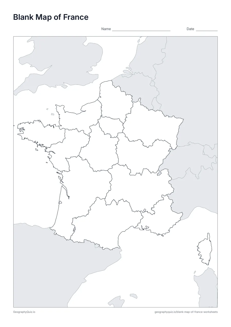
Blank Map of France
An outline map of France showing the borders of all 13 regions, with neighbouring countries shaded grey.
Free teacher resource
Printable maps of the 13 regions of metropolitan France: a blank map, a label-the-regions sheet, a labelled map and a regional capitals sheet.
Every sheet comes as an A4 and a US Letter PDF.Print it, then play it
A4 portrait · 1 page · Outline map
An outline map of France showing the borders of all 13 regions, with neighbouring countries shaded grey.
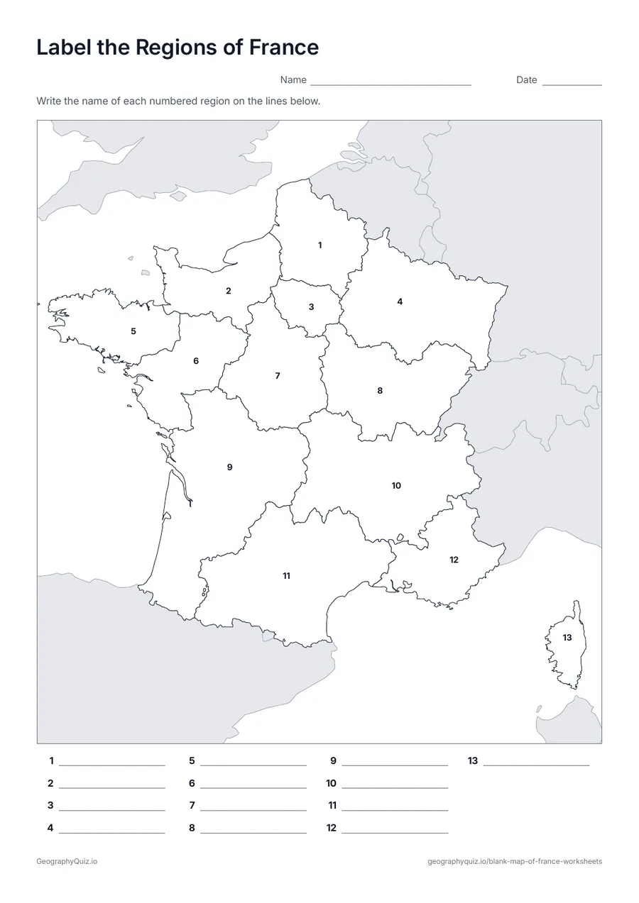
A4 portrait · 1 page · 13 to label
Each of the 13 regions is numbered. Pupils write the names on the numbered lines.
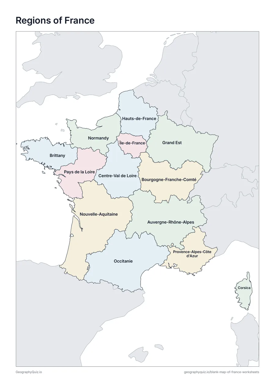
A4 portrait · 1 page · Reference map
A map of France with every name printed on it – a reference sheet for teaching and for checking answers.
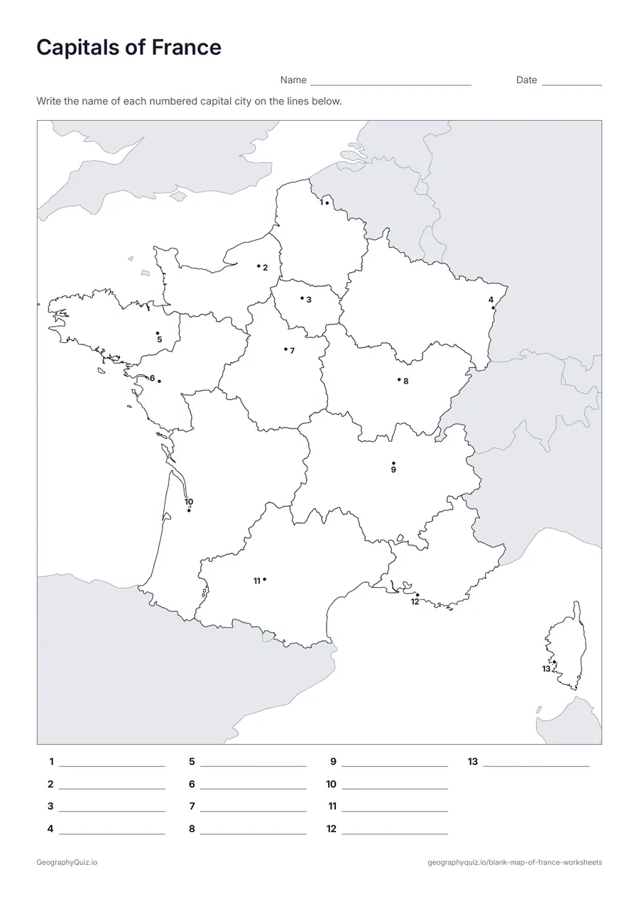
A4 portrait · 1 page · 13 capitals
Each capital city is marked with a numbered dot. Pupils write the capital names on the numbered lines.
For teachers
The maps show the 13 regions of mainland France and Corsica created in 2016. Overseas regions are not included.
On the label-it and capitals sheets, pupils write the names on the numbered lines; the labelled map doubles as a reference sheet. All sheets are crisp black line maps with light shading, so they photocopy and print cleanly in black and white.
Print it, then play it