Interactive map
Centre-Val de Loire Map
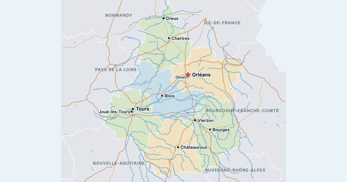
Every department, city and town in Centre-Val de Loire on one zoomable map, with its main highways, rivers and lakes. Switch on towns and departments above the map and zoom in for every name; tap a department to see its population, area and largest towns.
Loading the map…
Printable maps of Centre-Val de Loire
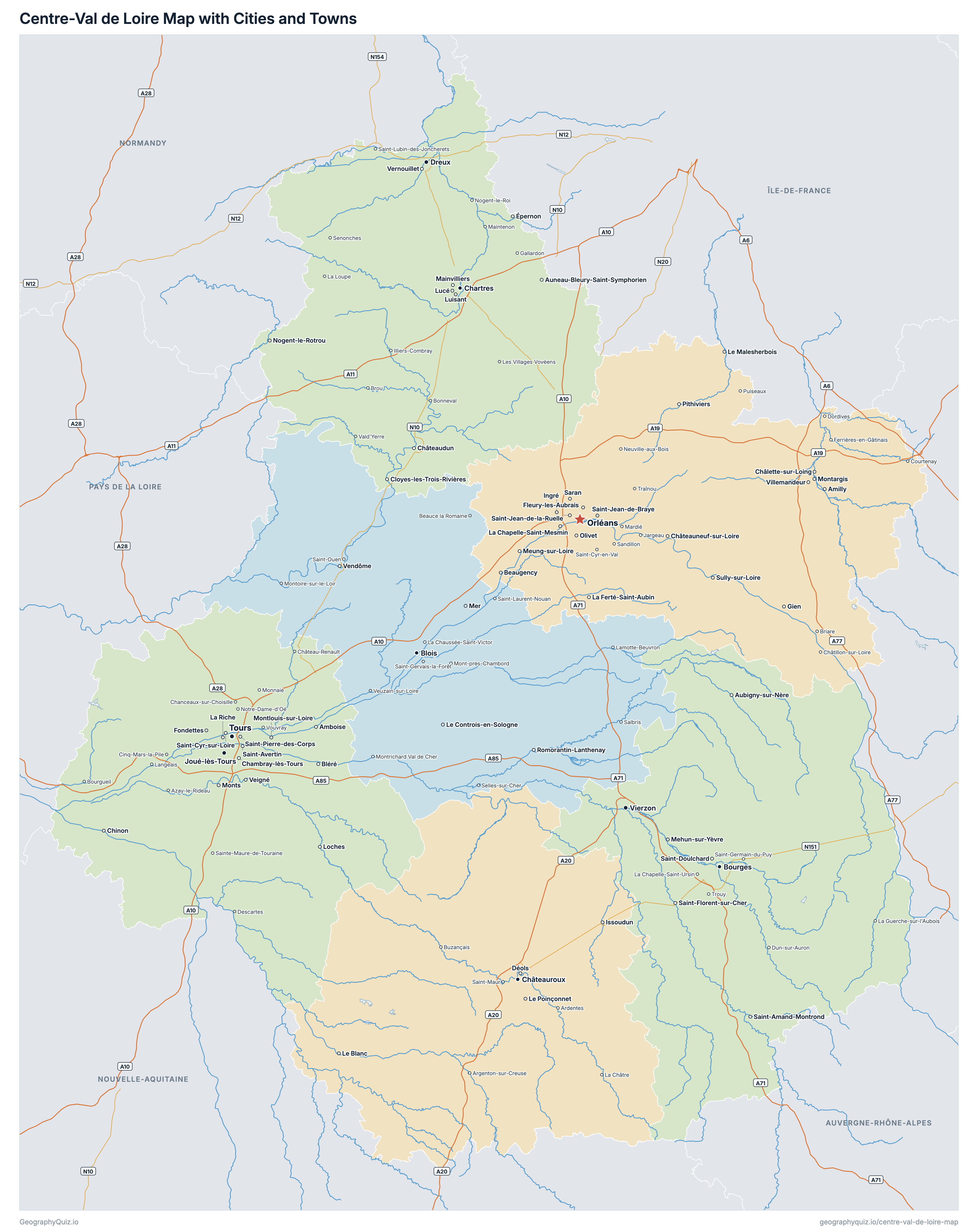
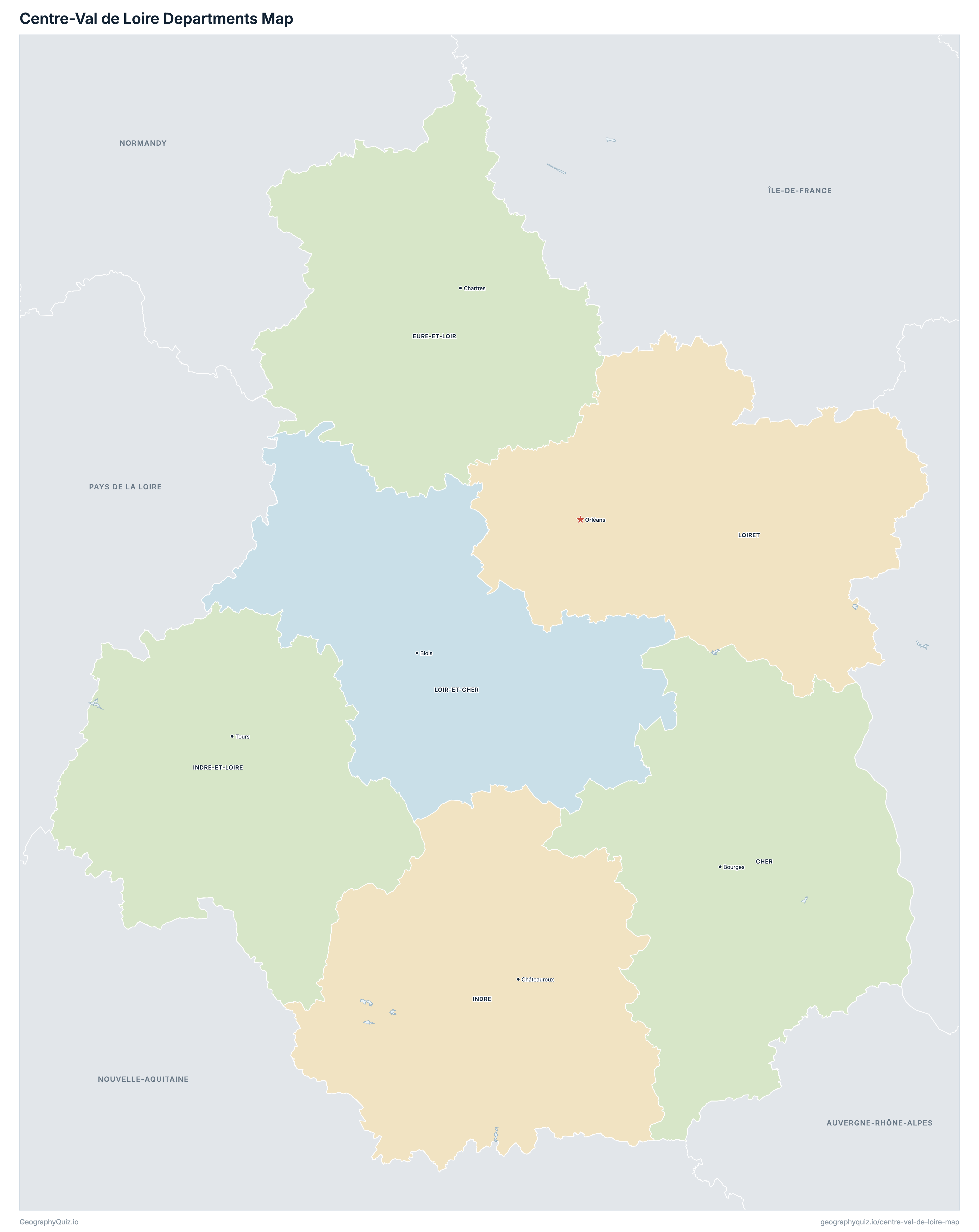
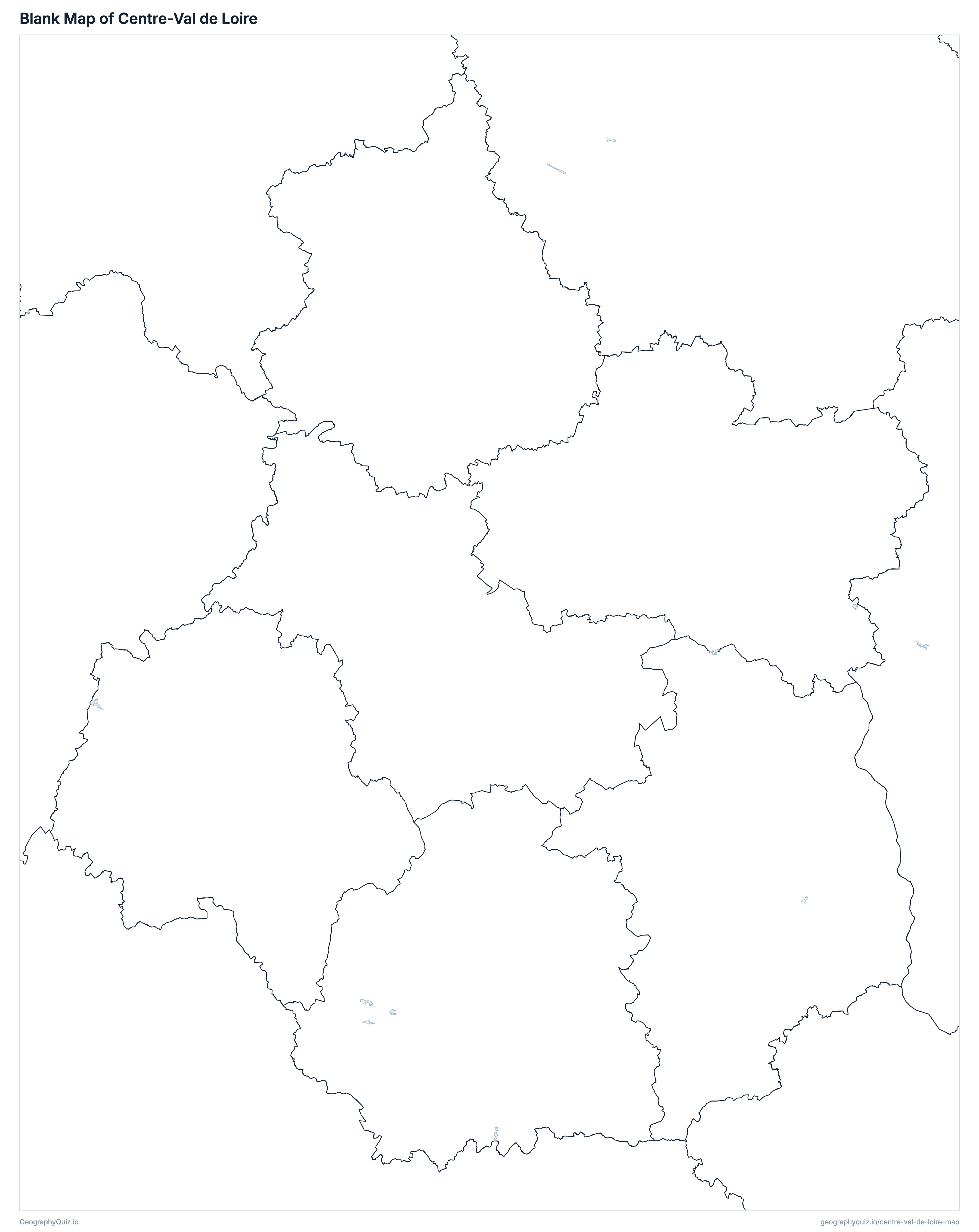
Free to print for class and home: Centre-Val de Loire with its cities and towns, a map of its departments, and a blank outline map. PDFs fit one A4 or US Letter page.
Centre-Val de Loire map with cities
Centre-Val de Loire departments map
Key facts
- Capital
- Orléans
- Largest city
- Tours (139,259)
- Population
- 2,587,031 (2023)
- Area
- 39,151 km² (15,116 sq mi)
- Departments of Centre-Val de Loire
- 6
- Most populous department
- Loiret (691,268)
- Largest department by area
- Cher, 7,235 km² (2,793 sq mi)
About Centre-Val de Loire
Centre-Val de Loire has 6 departments and about 2,587,031 people (2023) on 39,151 km² (15,116 sq mi). The capital is Orléans; the largest city is Tours, with 139,259 people. It borders Auvergne-Rhône-Alpes, Bourgogne-Franche-Comté, Normandy, Nouvelle-Aquitaine, Pays de la Loire and Île-de-France.
Loiret is the most populous department (691,268 people) and Indre the least (216,069); Cher is the largest by area (7,235 km²) and Eure-et-Loir the smallest (5,880 km²).
Largest cities in Centre-Val de Loire
The 25 most populous cities and towns. All 150 are on the map above: switch on Towns and zoom in to see them.
| # | City | Department | Population |
|---|---|---|---|
| 1 | Tours | Indre-et-Loire | 139,259 |
| 2 | Orléans | Loiret | 116,357 |
| 3 | Bourges | Cher | 64,186 |
| 4 | Blois | Loir-et-Cher | 47,219 |
| 5 | Châteauroux | Indre | 42,963 |
| 6 | Joué-lès-Tours | Indre-et-Loire | 38,423 |
| 7 | Chartres | Eure-et-Loir | 38,324 |
| 8 | Dreux | Eure-et-Loir | 31,543 |
| 9 | Vierzon | Cher | 25,068 |
| 10 | Olivet | Loiret | 23,507 |
| 11 | Saint-Jean-de-Braye | Loiret | 23,147 |
| 12 | Fleury-les-Aubrais | Loiret | 21,804 |
| 13 | Romorantin-Lanthenay | Loir-et-Cher | 18,373 |
| 14 | Saran | Loiret | 17,316 |
| 15 | Saint-Cyr-sur-Loire | Indre-et-Loire | 17,029 |
| 16 | Saint-Jean-de-la-Ruelle | Loiret | 16,768 |
| 17 | Lucé | Eure-et-Loir | 15,921 |
| 18 | Saint-Pierre-des-Corps | Indre-et-Loire | 15,898 |
| 19 | Vendôme | Loir-et-Cher | 15,758 |
| 20 | Saint-Avertin | Indre-et-Loire | 14,999 |
| 21 | Montargis | Loiret | 14,825 |
| 22 | Amilly | Loiret | 13,582 |
| 23 | Gien | Loiret | 13,459 |
| 24 | Amboise | Indre-et-Loire | 12,937 |
| 25 | Châteaudun | Eure-et-Loir | 12,830 |
Populations are INSEE's populations légales 2023 (population municipale, in force on 1 January 2026); the 6 departments add up to the region's 2,587,031, as on the France map. Towns are communes at their town halls: every prefecture and sub-prefecture, and every other commune of 3,000 people or more.
Departments of Centre-Val de Loire
All 6 departments. Select one to show it on the map.
| Bourges | 298,660 | 7,235 | |
| Chartres | 433,129 | 5,880 | |
| Châteauroux | 216,069 | 6,790 | |
| Tours | 619,362 | 6,127 | |
| Blois | 328,543 | 6,344 | |
| Orléans | 691,268 | 6,775 |
Quizzes and worksheets
Sources
- Departments, regions, prefectures, sub-prefectures and communes: IGN, ADMIN EXPRESS COG CARTO 4.0, edition of 1 January 2026 (data.geopf.fr); department areas are the communes' cadastral areas.
- Populations: INSEE, populations légales 2023 (in force on 1 January 2026), population municipale by region, department and commune (insee.fr/fr/statistiques/8680726).
- Motorways and national roads: IGN, ROUTE 500 3.0, edition of November 2021.
- Rivers, lakes and lagoons: Sandre, BD TOPAGE 2025 (watercourses and water bodies, edition of August 2025).