Interactive map
Île-de-France Map
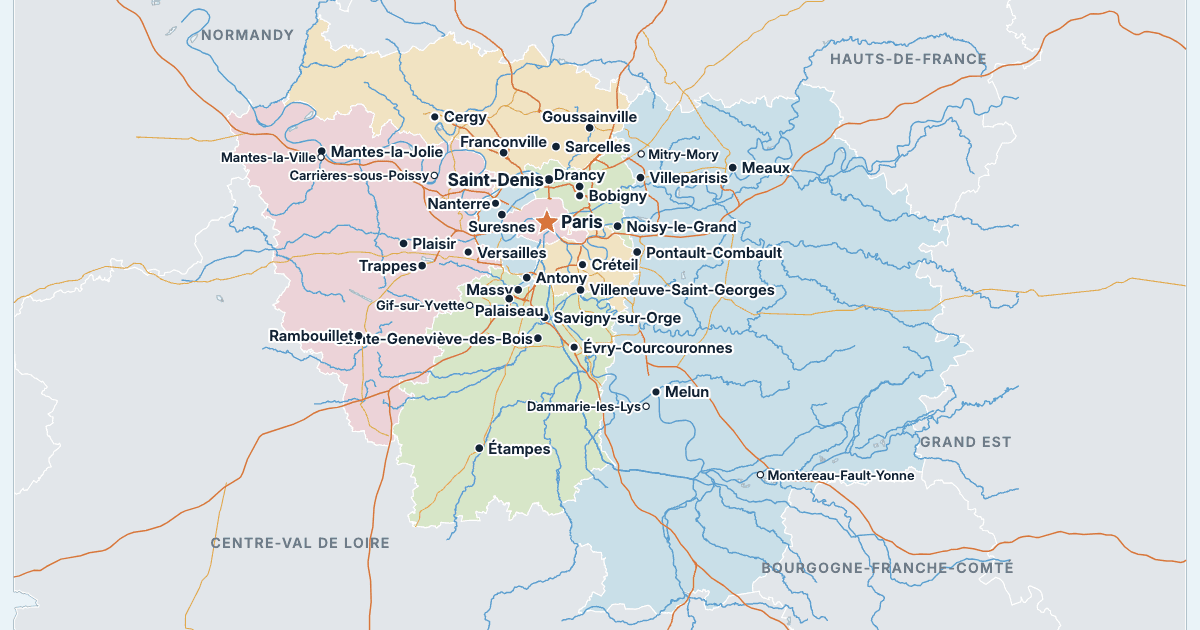
Every department, city and town in Île-de-France on one zoomable map, with its main highways, rivers and lakes. Switch on towns and departments above the map and zoom in for every name; tap a department to see its population, area and largest towns.
Loading the map…
Printable maps of Île-de-France
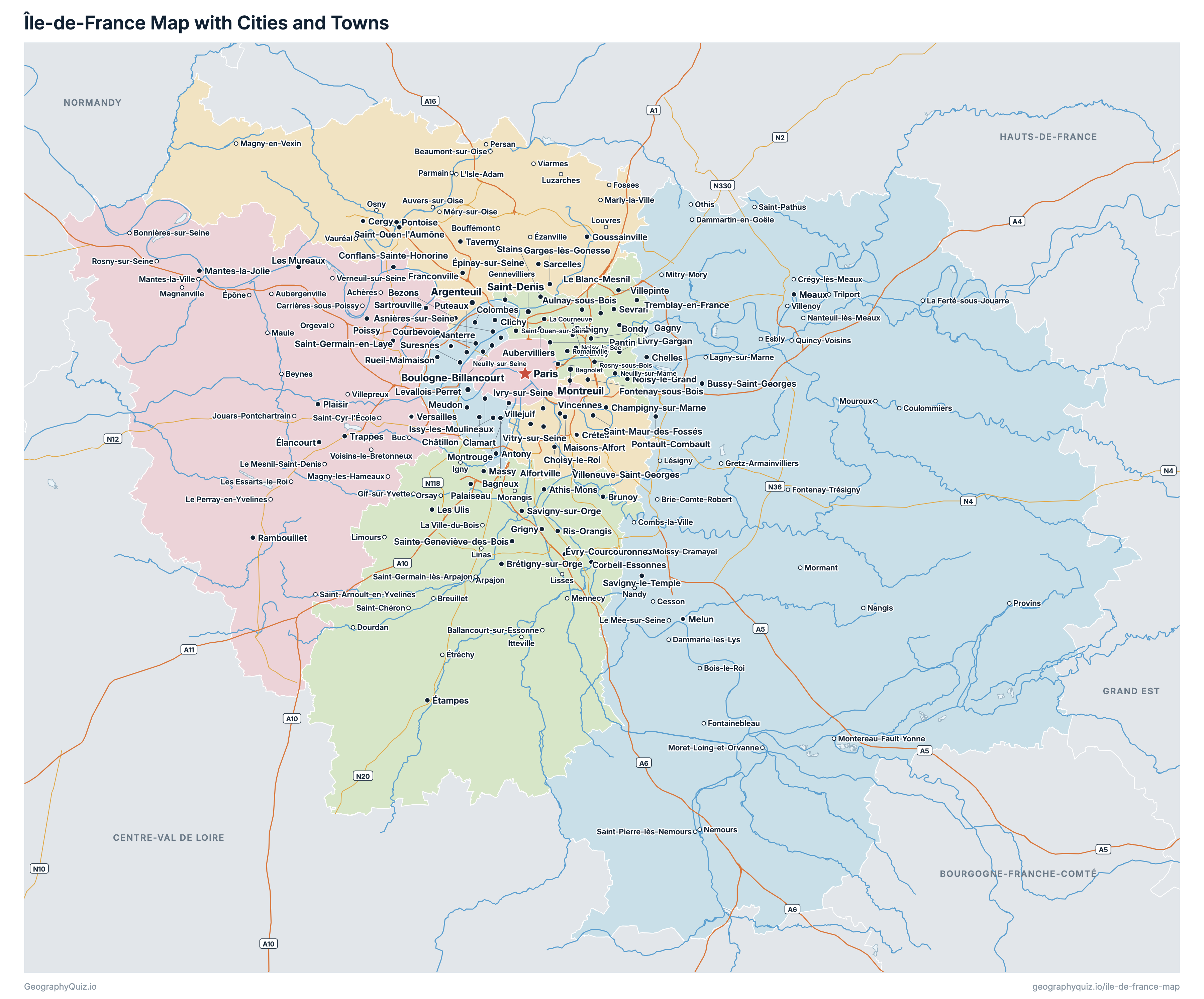
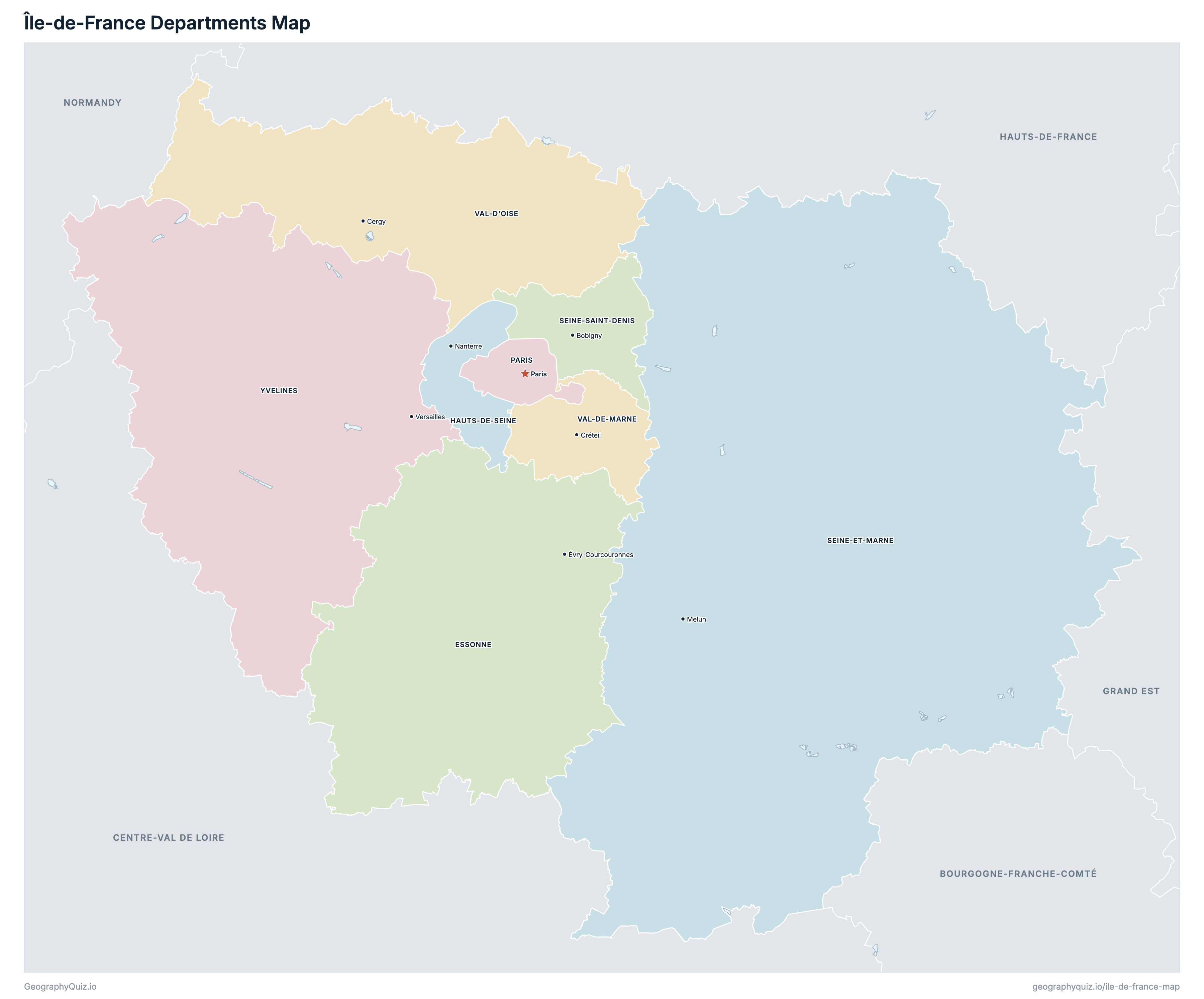
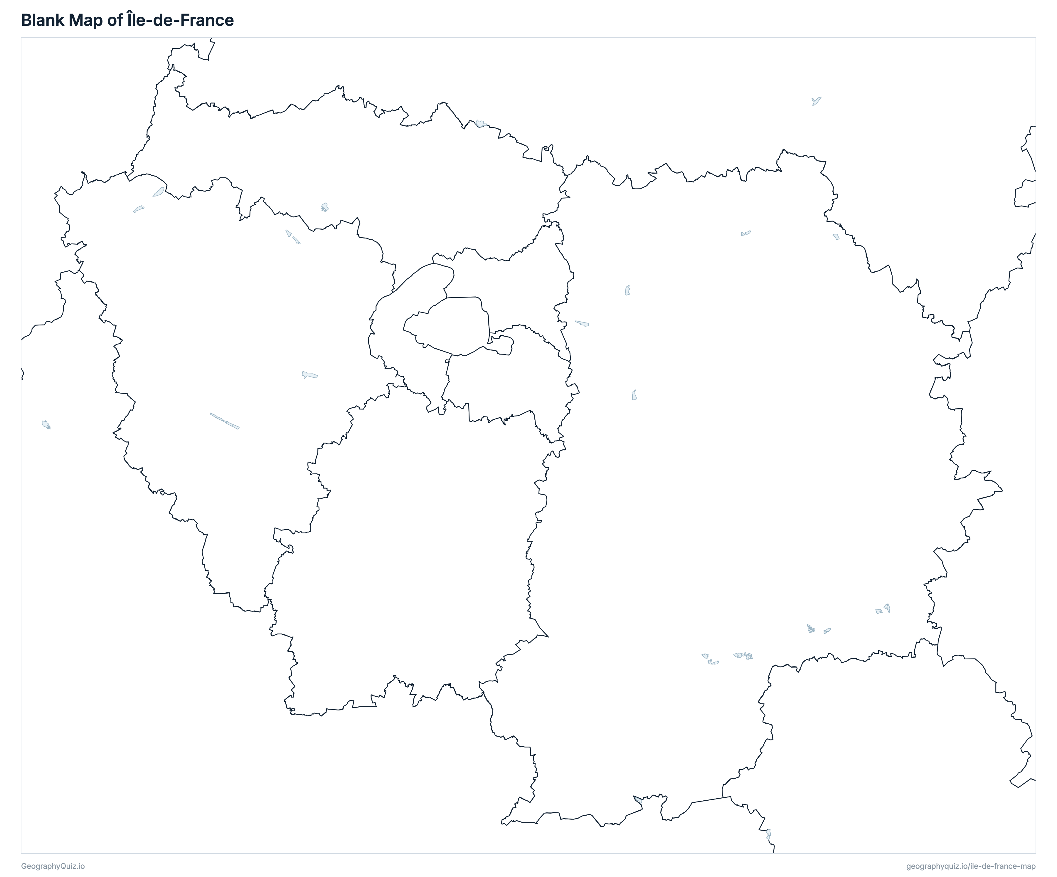
Free to print for class and home: Île-de-France with its cities and towns, a map of its departments, and a blank outline map. PDFs fit one A4 or US Letter page.
Île-de-France map with cities
Île-de-France departments map
Key facts
- Capital
- Paris
- Largest city
- Paris (2,103,778)
- Population
- 12,463,067 (2023)
- Area
- 12,013 km² (4,638 sq mi)
- Departments of Île-de-France
- 8
- Most populous department
- Paris (2,103,778)
- Largest department by area
- Seine-et-Marne, 5,915 km² (2,284 sq mi)
About Île-de-France
Île-de-France has 8 departments and about 12,463,067 people (2023) on 12,013 km² (4,638 sq mi). Paris is both the capital and the largest city, with 2,103,778 people. It borders Bourgogne-Franche-Comté, Centre-Val de Loire, Grand Est, Hauts-de-France and Normandy.
Paris is the most populous department (2,103,778 people) and Val-d'Oise the least (1,281,653); Seine-et-Marne is the largest by area (5,915 km²) and Paris the smallest (105 km²).
Largest cities in Île-de-France
The 25 most populous cities and towns. All 377 are on the map above: switch on Towns and zoom in to see them.
| # | City | Department | Population |
|---|---|---|---|
| 1 | Paris | Paris | 2,103,778 |
| 2 | Saint-Denis | Seine-Saint-Denis | 149,077 |
| 3 | Boulogne-Billancourt | Hauts-de-Seine | 119,019 |
| 4 | Montreuil | Seine-Saint-Denis | 111,934 |
| 5 | Argenteuil | Val-d'Oise | 106,130 |
| 6 | Nanterre | Hauts-de-Seine | 97,783 |
| 7 | Vitry-sur-Seine | Val-de-Marne | 93,963 |
| 8 | Asnières-sur-Seine | Hauts-de-Seine | 93,941 |
| 9 | Créteil | Val-de-Marne | 93,397 |
| 10 | Colombes | Hauts-de-Seine | 91,053 |
| 11 | Aubervilliers | Seine-Saint-Denis | 88,365 |
| 12 | Aulnay-sous-Bois | Seine-Saint-Denis | 87,599 |
| 13 | Versailles | Yvelines | 84,095 |
| 14 | Courbevoie | Hauts-de-Seine | 82,902 |
| 15 | Rueil-Malmaison | Hauts-de-Seine | 82,874 |
| 16 | Champigny-sur-Marne | Val-de-Marne | 78,072 |
| 17 | Saint-Maur-des-Fossés | Val-de-Marne | 76,572 |
| 18 | Noisy-le-Grand | Seine-Saint-Denis | 72,978 |
| 19 | Drancy | Seine-Saint-Denis | 72,390 |
| 20 | Cergy | Val-d'Oise | 70,906 |
| 21 | Levallois-Perret | Hauts-de-Seine | 68,092 |
| 22 | Issy-les-Moulineaux | Hauts-de-Seine | 67,669 |
| 23 | Évry-Courcouronnes | Essonne | 66,919 |
| 24 | Ivry-sur-Seine | Val-de-Marne | 65,064 |
| 25 | Clichy | Hauts-de-Seine | 64,410 |
Populations are INSEE's populations légales 2023 (population municipale, in force on 1 January 2026); the 8 departments add up to the region's 12,463,067, as on the France map. Towns are communes at their town halls: every prefecture and sub-prefecture, and every other commune of 5,000 people or more. Paris is a whole commune, without its suburbs.
Departments of Île-de-France
All 8 departments. Select one to show it on the map.
| Évry-Courcouronnes | 1,338,485 | 1,805 | |
| Nanterre | 1,654,712 | 176 | |
| Paris | 2,103,778 | 105 | |
| Melun | 1,468,108 | 5,915 | |
| Bobigny | 1,704,316 | 236 | |
| Cergy | 1,281,653 | 1,246 | |
| Créteil | 1,426,929 | 245 | |
| Versailles | 1,485,086 | 2,285 |
Quizzes and worksheets
Sources
- Departments, regions, prefectures, sub-prefectures and communes: IGN, ADMIN EXPRESS COG CARTO 4.0, edition of 1 January 2026 (data.geopf.fr); department areas are the communes' cadastral areas.
- Populations: INSEE, populations légales 2023 (in force on 1 January 2026), population municipale by region, department and commune (insee.fr/fr/statistiques/8680726).
- Motorways and national roads: IGN, ROUTE 500 3.0, edition of November 2021.
- Rivers, lakes and lagoons: Sandre, BD TOPAGE 2025 (watercourses and water bodies, edition of August 2025).