Interactive map
Auvergne-Rhône-Alpes Map
Every department, city and town in Auvergne-Rhône-Alpes on one zoomable map, with its main highways, rivers and lakes. Switch on towns and departments above the map and zoom in for every name; tap a department to see its population, area and largest towns.
Loading the map…
Printable maps of Auvergne-Rhône-Alpes
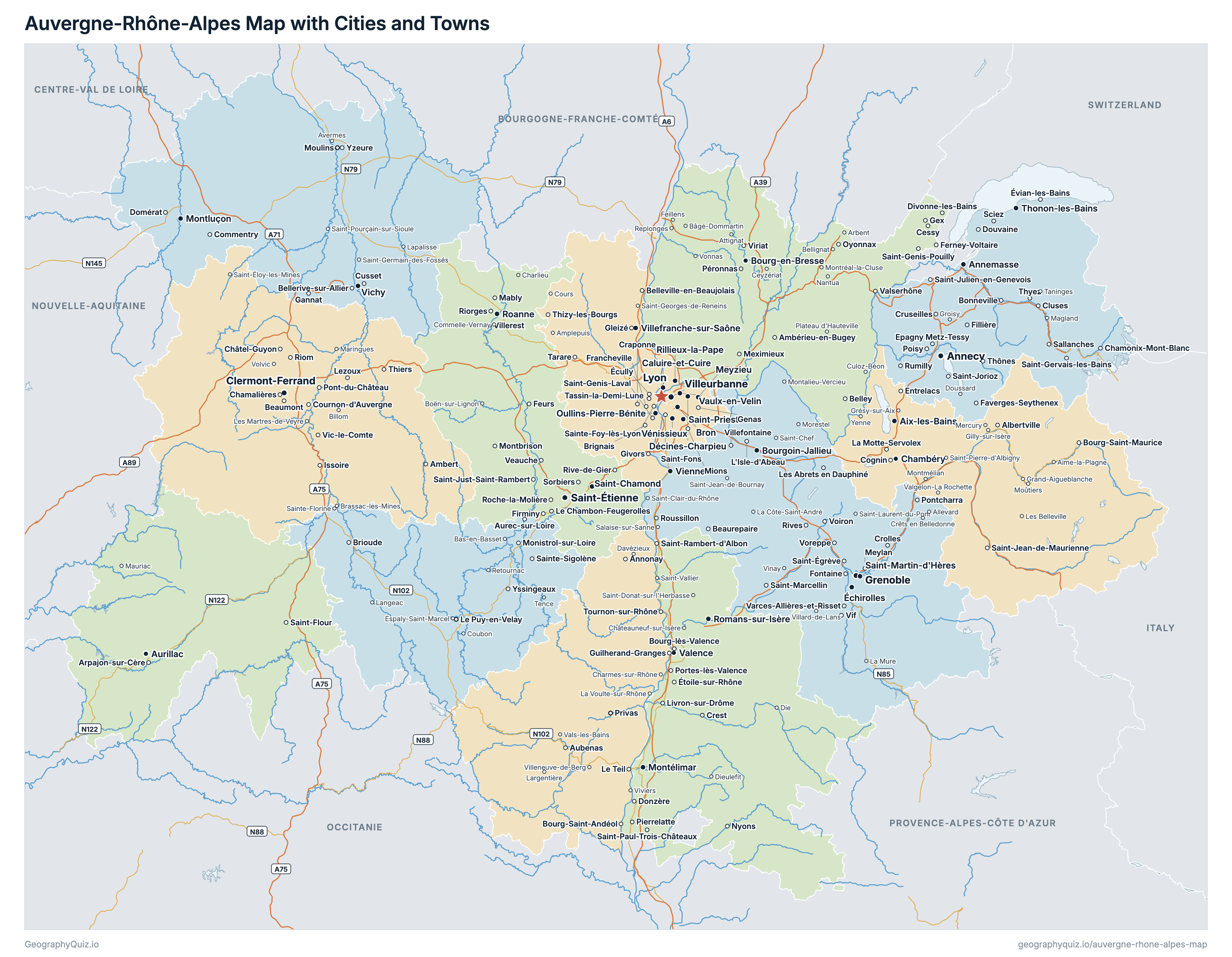
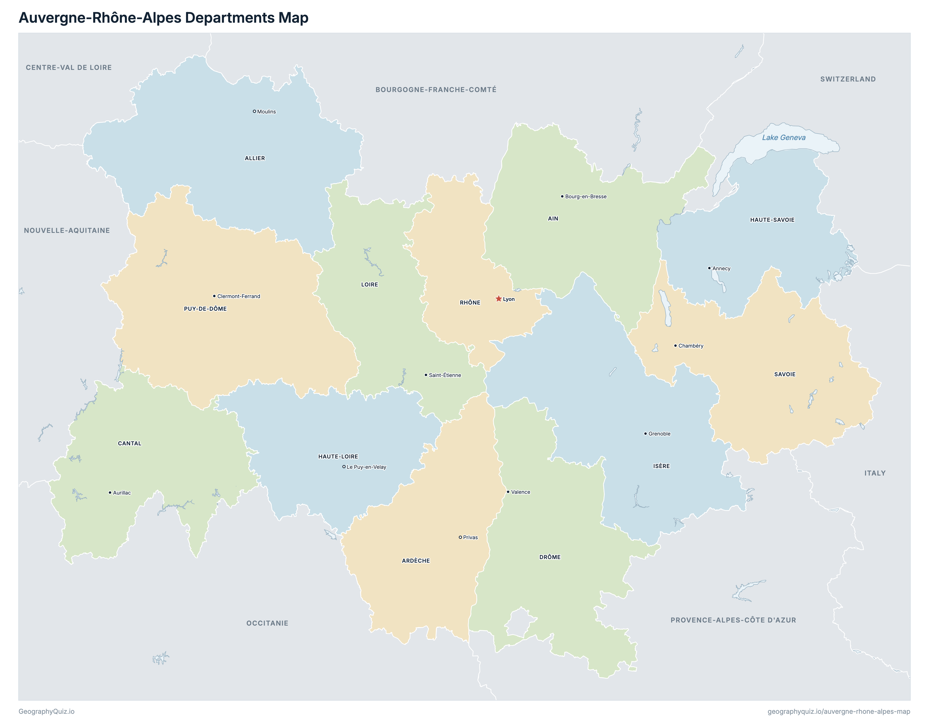
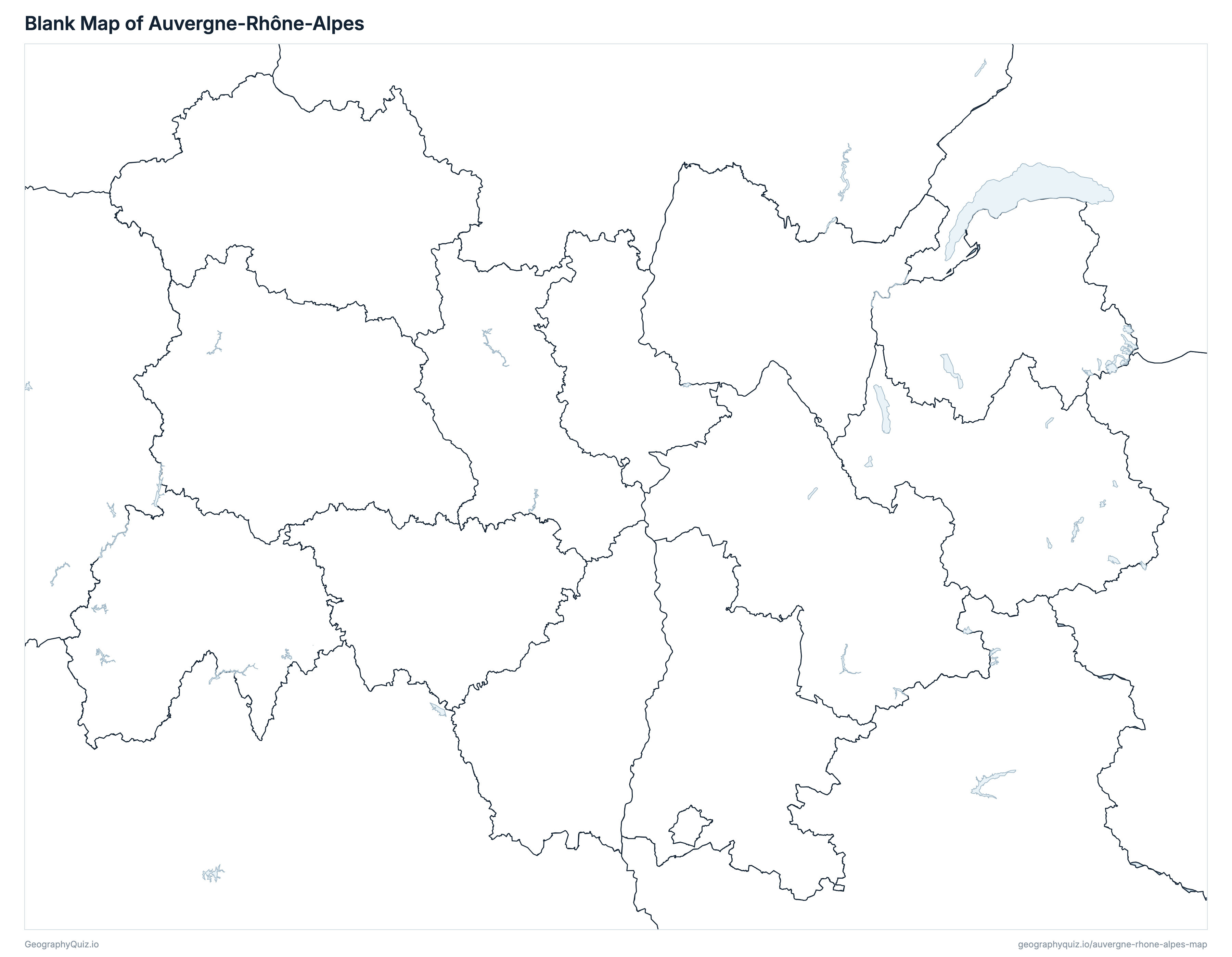
Free to print for class and home: Auvergne-Rhône-Alpes with its cities and towns, a map of its departments, and a blank outline map. PDFs fit one A4 or US Letter page.
Auvergne-Rhône-Alpes map with cities
Auvergne-Rhône-Alpes departments map
Key facts
- Capital
- Lyon
- Largest city
- Lyon (519,127)
- Population
- 8,205,557 (2023)
- Area
- 69,711 km² (26,916 sq mi)
- Departments of Auvergne-Rhône-Alpes
- 12
- Most populous department
- Rhône (1,914,667)
- Largest department by area
- Puy-de-Dôme, 7,970 km² (3,077 sq mi)
About Auvergne-Rhône-Alpes
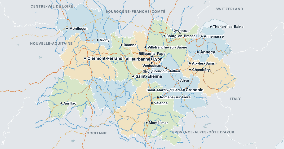
Auvergne-Rhône-Alpes has 12 departments and about 8,205,557 people (2023) on 69,711 km² (26,916 sq mi). Lyon is both the capital and the largest city, with 519,127 people. It borders Bourgogne-Franche-Comté, Centre-Val de Loire, Nouvelle-Aquitaine, Occitanie, Provence-Alpes-Côte d'Azur, Italy and Switzerland.
Rhône is the most populous department (1,914,667 people) and Cantal the least (144,196); Puy-de-Dôme is the largest by area (7,970 km²) and Rhône the smallest (3,249 km²).
Largest cities in Auvergne-Rhône-Alpes
The 25 most populous cities and towns. All 498 are on the map above: switch on Towns and zoom in to see them.
| # | City | Department | Population |
|---|---|---|---|
| 1 | Lyon | Rhône | 519,127 |
| 2 | Saint-Étienne | Loire | 173,136 |
| 3 | Villeurbanne | Rhône | 163,684 |
| 4 | Grenoble | Isère | 156,140 |
| 5 | Clermont-Ferrand | Puy-de-Dôme | 146,351 |
| 6 | Annecy | Haute-Savoie | 132,117 |
| 7 | Vénissieux | Rhône | 65,502 |
| 8 | Valence | Drôme | 64,458 |
| 9 | Chambéry | Savoie | 59,964 |
| 10 | Vaulx-en-Velin | Rhône | 53,069 |
| 11 | Saint-Priest | Rhône | 49,229 |
| 12 | Caluire-et-Cuire | Rhône | 43,597 |
| 13 | Bron | Rhône | 42,982 |
| 14 | Bourg-en-Bresse | Ain | 42,372 |
| 15 | Montélimar | Drôme | 40,595 |
| 16 | Oullins-Pierre-Bénite | Rhône | 38,168 |
| 17 | Thonon-les-Bains | Haute-Savoie | 37,928 |
| 18 | Saint-Martin-d'Hères | Isère | 37,695 |
| 19 | Annemasse | Haute-Savoie | 37,628 |
| 20 | Échirolles | Isère | 37,491 |
| 21 | Meyzieu | Rhône | 36,687 |
| 22 | Villefranche-sur-Saône | Rhône | 36,172 |
| 23 | Saint-Chamond | Loire | 35,646 |
| 24 | Roanne | Loire | 35,409 |
| 25 | Romans-sur-Isère | Drôme | 33,464 |
Populations are INSEE's populations légales 2023 (population municipale, in force on 1 January 2026); the 12 departments add up to the region's 8,205,557, as on the France map. Towns are communes at their town halls: every prefecture and sub-prefecture, and every other commune of 3,000 people or more. Lyon is a whole commune, without its suburbs.
Departments of Auvergne-Rhône-Alpes
All 12 departments. Select one to show it on the map.
| Bourg-en-Bresse | 679,344 | 5,763 | |
| Moulins | 333,298 | 7,340 | |
| Privas | 334,231 | 5,528 | |
| Aurillac | 144,196 | 5,726 | |
| Valence | 524,207 | 6,530 | |
| Le Puy-en-Velay | 228,654 | 4,977 | |
| Annecy | 861,158 | 4,388 | |
| Grenoble | 1,298,990 | 7,431 | |
| Saint-Étienne | 774,133 | 4,781 | |
| Clermont-Ferrand | 664,453 | 7,970 | |
| Lyon | 1,914,667 | 3,249 | |
| Chambéry | 448,226 | 6,028 |
Quizzes and worksheets
Sources
- Departments, regions, prefectures, sub-prefectures and communes: IGN, ADMIN EXPRESS COG CARTO 4.0, edition of 1 January 2026 (data.geopf.fr); department areas are the communes' cadastral areas.
- Populations: INSEE, populations légales 2023 (in force on 1 January 2026), population municipale by region, department and commune (insee.fr/fr/statistiques/8680726).
- Motorways and national roads: IGN, ROUTE 500 3.0, edition of November 2021.
- Rivers, lakes and lagoons: Sandre, BD TOPAGE 2025 (watercourses and water bodies, edition of August 2025).