Interactive map
Middle East Map
The 17 countries of the Middle East on a zoomable map, from Egypt and Turkey to Iran and the Arabian Peninsula. Tap or click a country to see its flag, capital, population, area, official languages and currency. Zoom in to see every name, capital, river and mountain: where labels would overlap, some only appear as you get closer.
Loading the map…
Download the map
Free to print for your class or your wall: the labelled map in colour, with every capital, or a blank outline map to fill in.
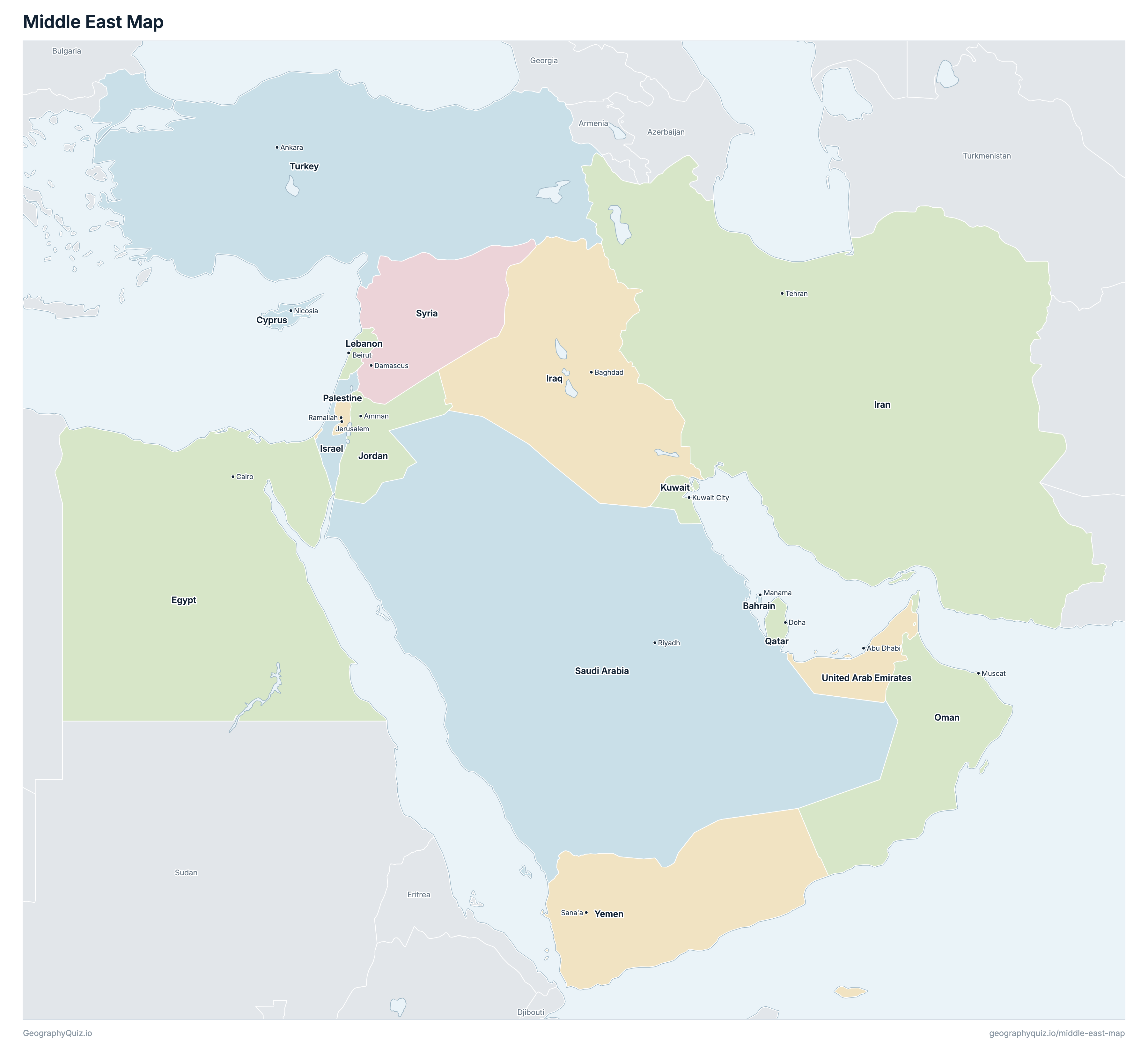
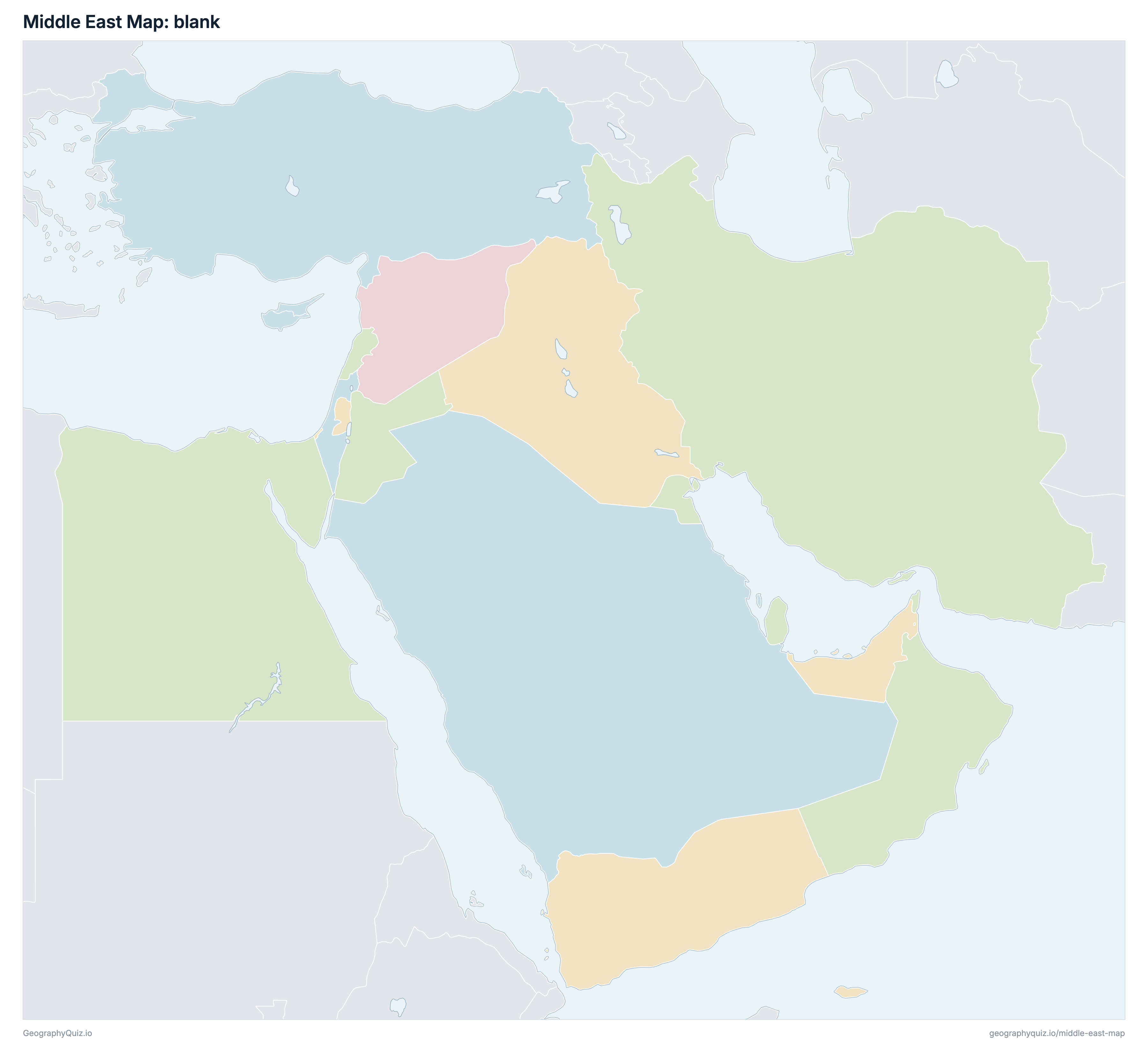
Learn the map of the Middle East
About the Middle East
The Middle East has 17 countries, home to about 479.2 million people across 7,297,033 km² (2,817,399 sq mi).
The largest country by area is Saudi Arabia, at 2,149,690 km², about 29% of the total; the smallest is Bahrain, at 760 km².
Egypt has the most people, about 112.9 million (24% of the total), and Cyprus the fewest, about 1.3 million. The most densely populated is Bahrain, with about 2,062 people per km².
1 of the 17 countries is landlocked: Palestine.
Countries of the Middle East and their capitals
All 17 countries, with each capital, population and area. Sort by any column, or select a name to show it on the map.
| Manama | 1,566,888 | 760 | |
| Nicosia | 1,332,293 | 9,251 | |
| Cairo | 112,870,457 | 1,001,450 | |
| Tehran | 89,177,357 | 1,648,195 | |
| Baghdad | 42,917,742 | 438,317 | |
| Jerusalem | 9,402,617 | 21,937 | |
| Amman | 11,312,507 | 89,342 | |
| Kuwait City | 3,172,511 | 17,818 | |
| Beirut | 5,364,482 | 10,400 | |
| Muscat | 3,969,824 | 309,500 | |
| Ramallah | 5,495,206 | 6,220 | |
| Doha | 2,568,426 | 11,586 | |
| Riyadh | 36,544,431 | 2,149,690 | |
| Damascus | 24,261,882 | 187,437 | |
| Ankara | 84,625,585 | 783,562 | |
| Abu Dhabi | 10,093,593 | 83,600 | |
| Sana'a | 34,505,496 | 527,968 |
There is no single official list of Middle Eastern countries. We count the 17 in our Middle East quizzes: Bahrain, Cyprus, Egypt, Iran, Iraq, Israel, Jordan, Kuwait, Lebanon, Oman, Palestine, Qatar, Saudi Arabia, Syria, Turkey, the United Arab Emirates and Yemen.
Sources
- Capitals and official languages: national constitutions and government sources.
- Currencies: the ISO 4217 currency list and national central banks, checked October 2026.
- Borders, coastlines, rivers and mountains: official sources. Disputed borders are shown as they are commonly drawn, which is not an endorsement of any claim.
- Population and area: CIA World Factbook (2024 and 2025 estimates; total area including inland water), which capitals and languages were also checked against.