Interactive map
UK Map
Every nation, city and town in the United Kingdom on one zoomable map, with its main highways, rivers and lakes. Switch on towns and nations above the map and zoom in for every name; tap a nation to see its population, area and largest towns.
Loading the map…
Printable maps of the United Kingdom
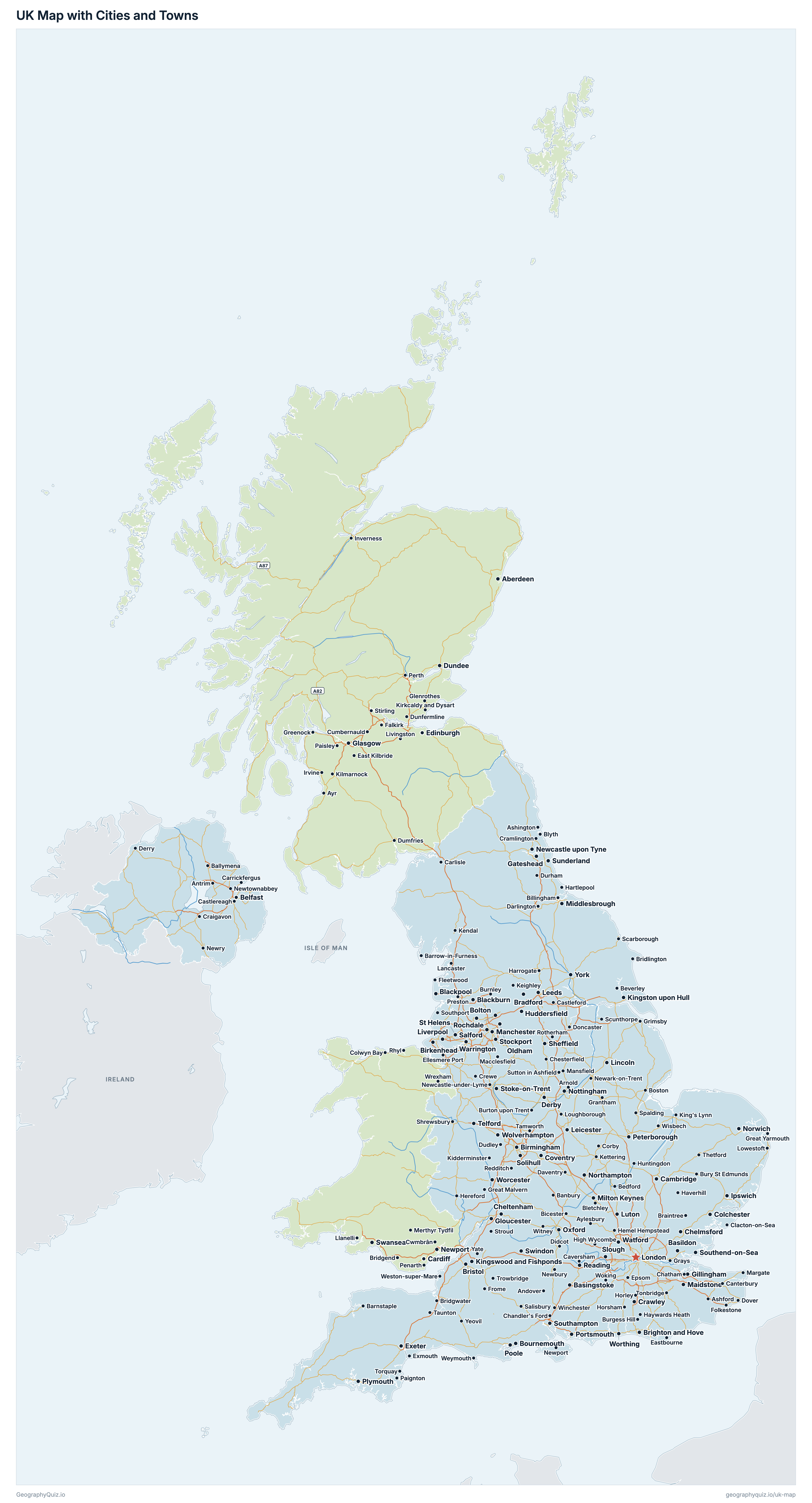
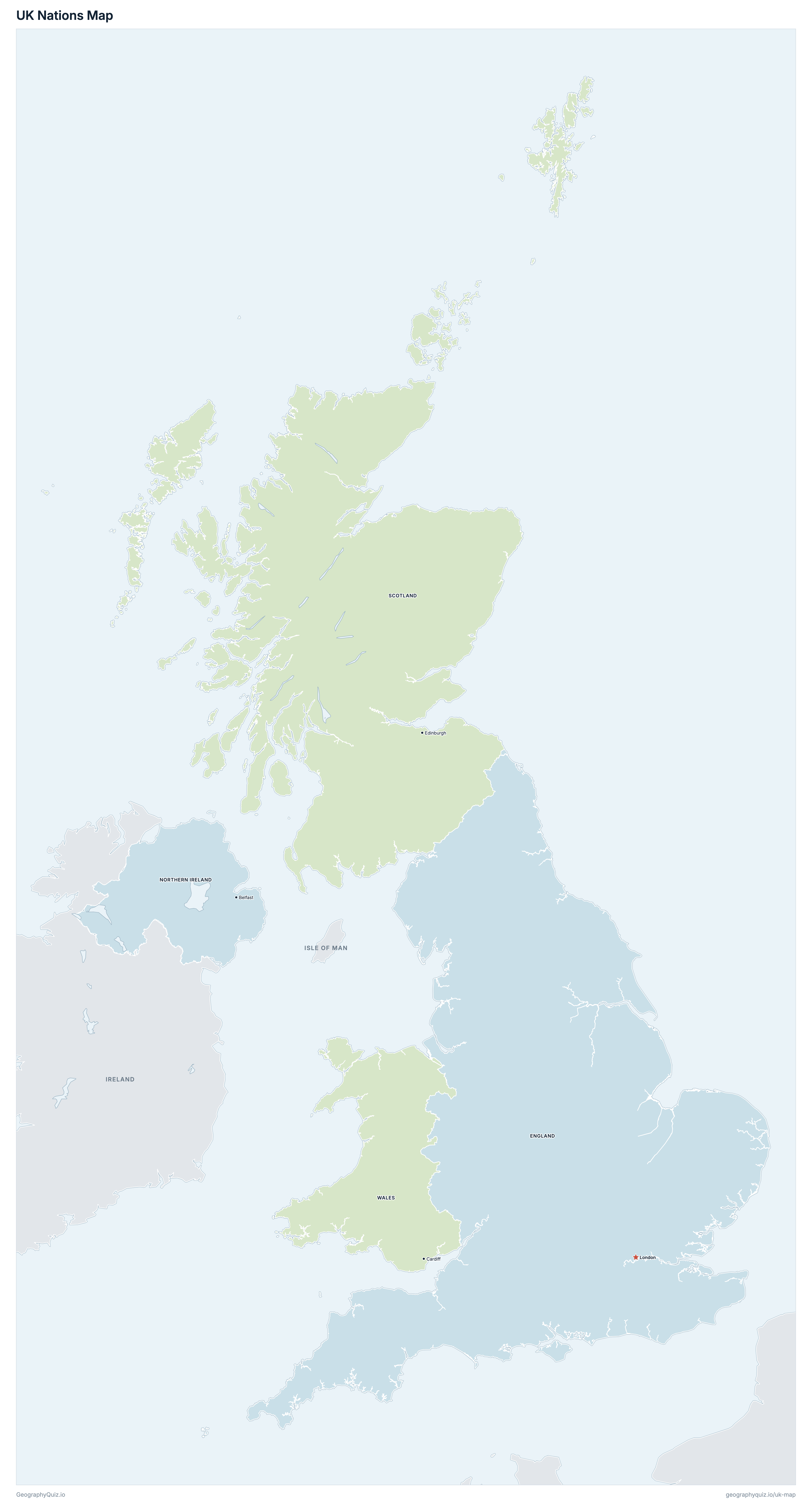
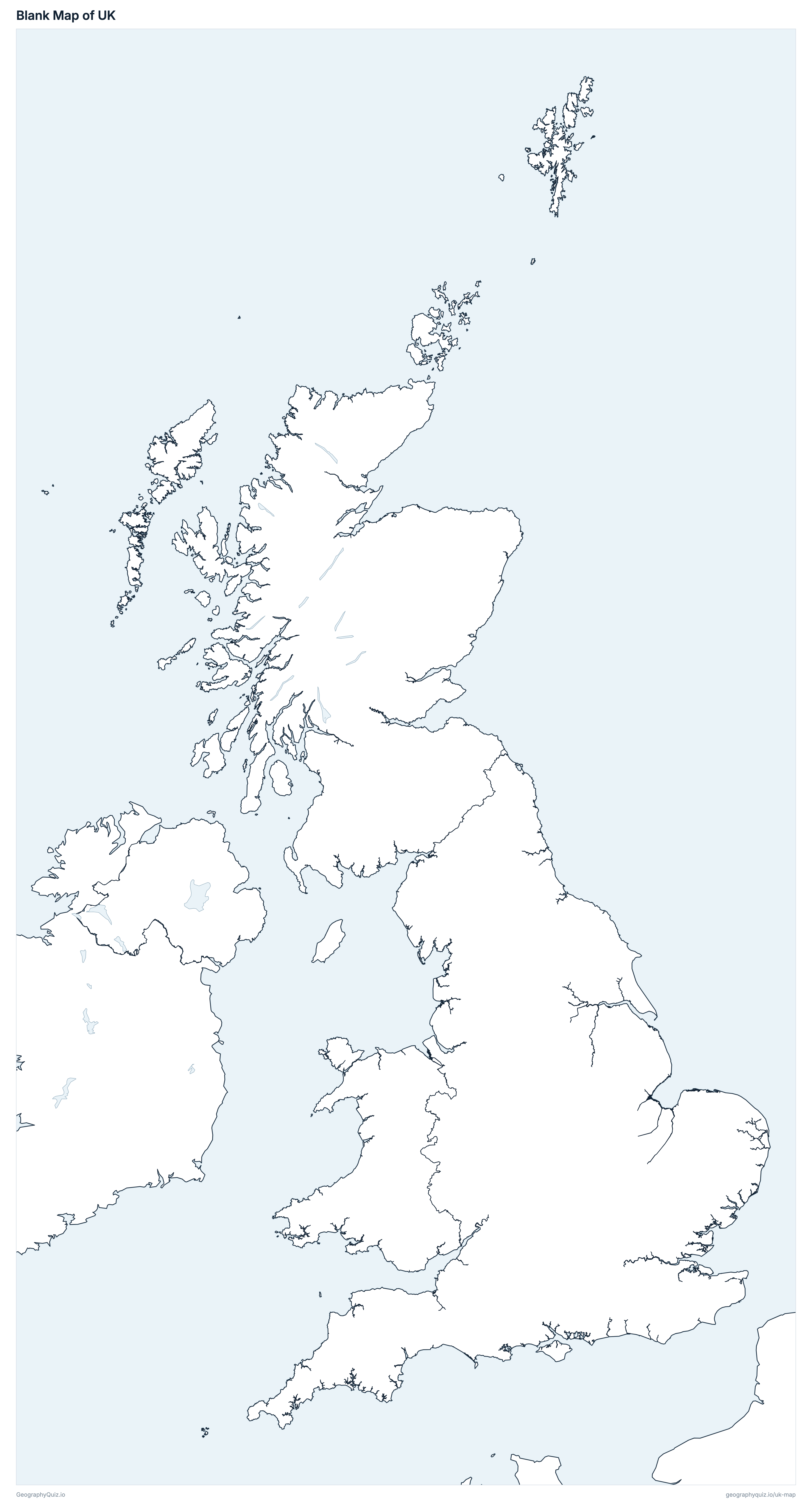
Free to print for class and home: the United Kingdom with its cities and towns, a map of its nations, and a blank outline map. PDFs fit one A4 or US Letter page.
UK map with cities
UK nations map
About the United Kingdom
The United Kingdom has 4 nations and about 69,483,939 people (2025) on 242,494 km² (93,627 sq mi). London is both the capital and the largest city, with 8,799,728 people (2021). It borders Ireland.
England is the most populous nation (58,834,812 people) and Northern Ireland the least (1,928,446); England is the largest by area (130,310 km²) and Northern Ireland the smallest (13,547 km²).
Largest cities in the United Kingdom
The 25 most populous cities and towns. All 422 are on the map above: switch on Towns and zoom in to see them.
| # | City | Nation | Population |
|---|---|---|---|
| 1 | London | England | 8,799,728 |
| 2 | Birmingham | England | 1,121,375 |
| 3 | Glasgow | Scotland | 617,794 |
| 4 | Leeds | England | 536,280 |
| 5 | Liverpool | England | 506,565 |
| 6 | Sheffield | England | 500,535 |
| 7 | Edinburgh | Scotland | 493,736 |
| 8 | Manchester | England | 470,405 |
| 9 | Bristol | England | 425,215 |
| 10 | Leicester | England | 406,580 |
| 11 | Cardiff | Wales | 348,535 |
| 12 | Coventry | England | 344,285 |
| 13 | Bradford | England | 333,950 |
| 14 | Nottingham | England | 299,790 |
| 15 | Belfast | Northern Ireland | 293,298 |
| 16 | Newcastle upon Tyne | England | 286,445 |
| 17 | Brighton and Hove | England | 277,105 |
| 18 | Derby | England | 275,575 |
| 19 | Kingston upon Hull | England | 270,810 |
| 20 | Plymouth | England | 266,955 |
| 21 | Stoke-on-Trent | England | 260,560 |
| 22 | Southampton | England | 249,620 |
| 23 | Northampton | England | 243,520 |
| 24 | Wolverhampton | England | 234,025 |
| 25 | Luton | England | 233,525 |
Populations of the nations are mid-2025 estimates (ONS, National Records of Scotland and NISRA); towns are built-up areas, localities and settlements with their latest census counts (Census 2021 in England, Wales and Northern Ireland, Census 2022 in Scotland).
Nations of the United Kingdom
All 4 nations. Select one to show it on the map.
| London | 58,834,812 | 130,310 | |
| Belfast | 1,928,446 | 13,547 | |
| Edinburgh | 5,545,500 | 77,900 | |
| Cardiff | 3,175,181 | 20,737 |
Quizzes and worksheets
Sources
- Boundaries: Office for National Statistics (ONS) Open Geography Portal, Countries and Counties and Unitary Authorities (December 2025), generalised clipped boundaries; contains OS data © Crown copyright and database right.
- Populations and land areas: ONS, Population estimates for the UK, England, Wales, Scotland and Northern Ireland: mid-2025 (with National Records of Scotland and NISRA).
- Towns: ONS Built-up Areas (2022) with Census 2021 usual residents (Towns and cities, characteristics of built-up areas, England and Wales: Census 2021); London: Census 2021 population of Greater London (ONS, via Nomis).
- Towns: National Records of Scotland, Scotland's Census 2022 localities (population and centroids), via maps.gov.scot.
- Towns: NISRA, Settlement 2015 boundaries with Census 2021 usual residents (table CT0118).
- Roads: Ordnance Survey, OS Open Roads (Great Britain) and Department for Infrastructure highway network (Northern Ireland): motorways and primary or trunk A roads.