A4 portrait · 1 page · Outline map
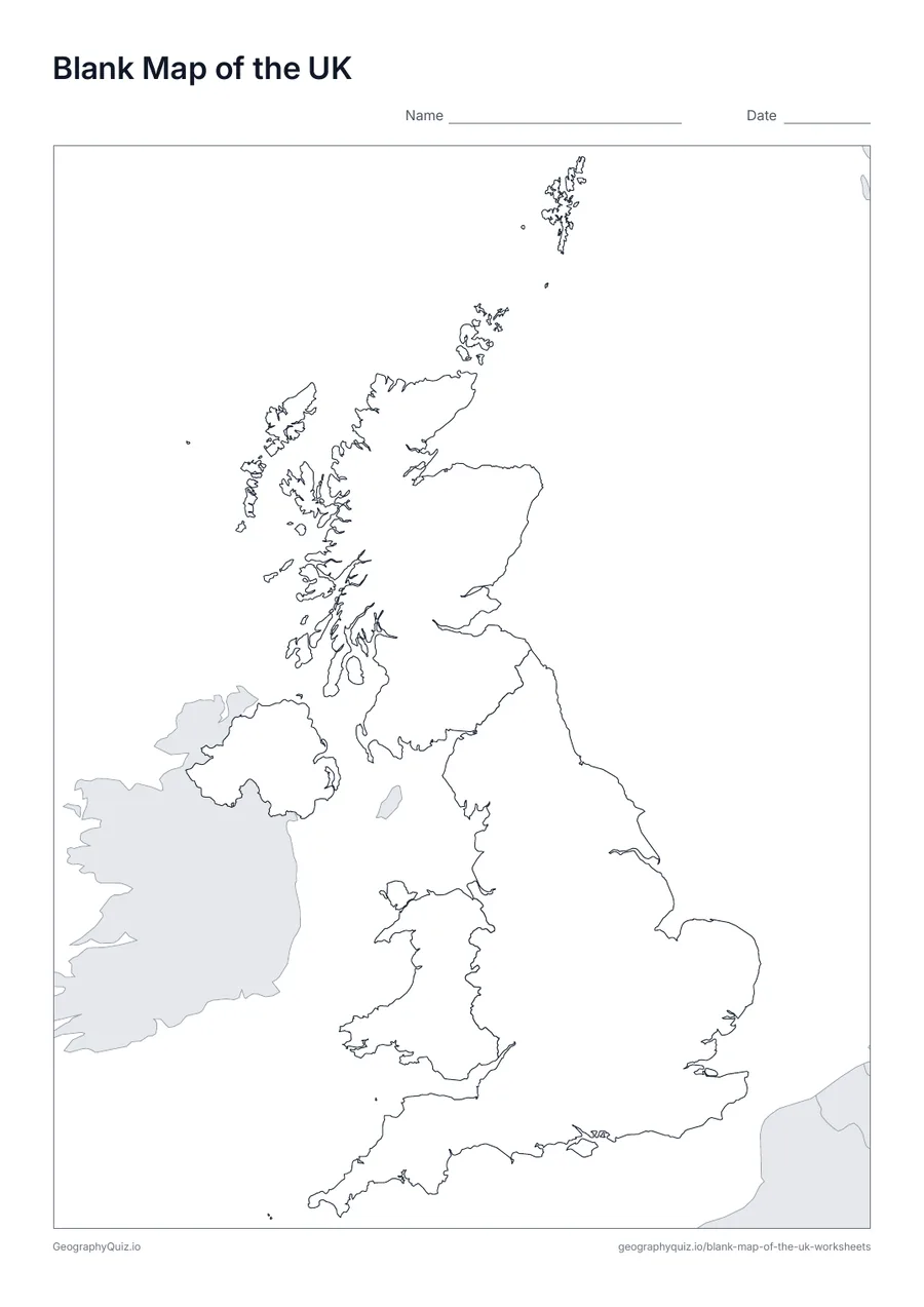
Blank Map of the UK
An outline map of the UK showing the borders of all 4 countries, with neighbouring countries shaded grey.
Free teacher resource
Simple printable maps of the United Kingdom for primary geography: a blank map of the UK, a label-the-four-countries sheet, a labelled map and a capital cities sheet.
Every sheet comes as an A4 and a US Letter PDF.Print it, then play it
A4 portrait · 1 page · Outline map
An outline map of the UK showing the borders of all 4 countries, with neighbouring countries shaded grey.
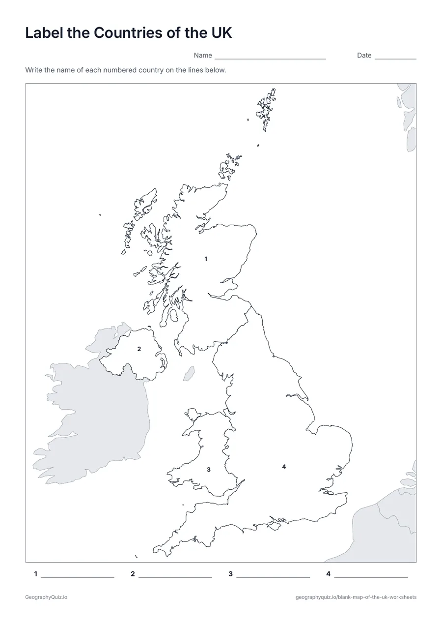
A4 portrait · 1 page · 4 to label
Each of the 4 countries is numbered. Pupils write the names on the numbered lines.
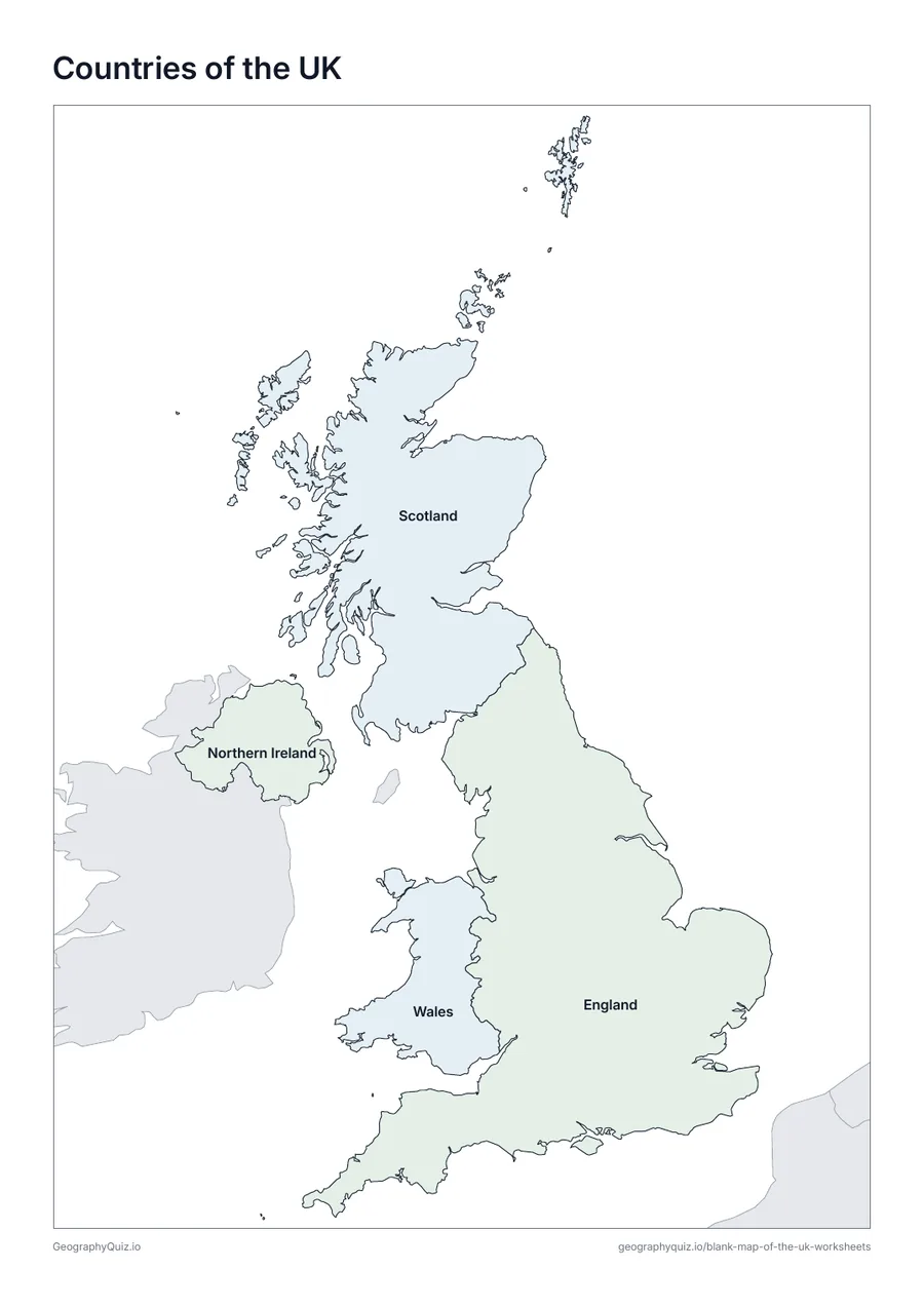
A4 portrait · 1 page · Reference map
A map of the UK with every name printed on it – a reference sheet for teaching and for checking answers.
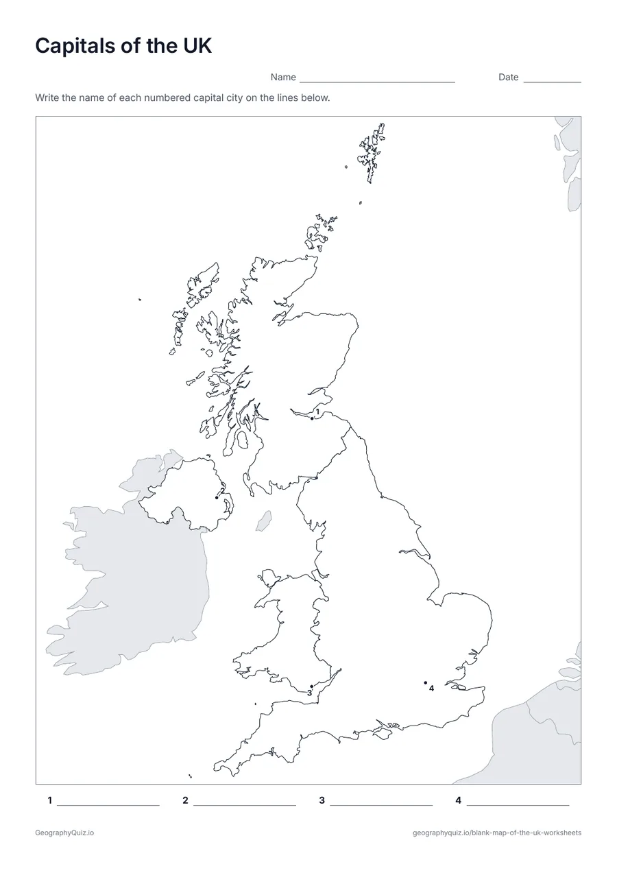
A4 portrait · 1 page · 4 capitals
London, Edinburgh, Cardiff and Belfast are marked with numbered dots for pupils to name.
For teachers
The four countries are England, Scotland, Wales and Northern Ireland; the capitals sheet marks London, Edinburgh, Cardiff and Belfast. The Republic of Ireland is shaded grey for context.
On the label-it and capitals sheets, pupils write the names on the numbered lines; the labelled map doubles as a reference sheet. All sheets are crisp black line maps with light shading, so they photocopy and print cleanly in black and white.
Print it, then play it