Interactive map
Schleswig-Holstein Map
Every district, city and town in Schleswig-Holstein on one zoomable map, with its main highways, rivers and lakes. Switch on towns and districts above the map and zoom in for every name; tap a district to see its population, area and largest towns.
Loading the map…
Printable maps of Schleswig-Holstein
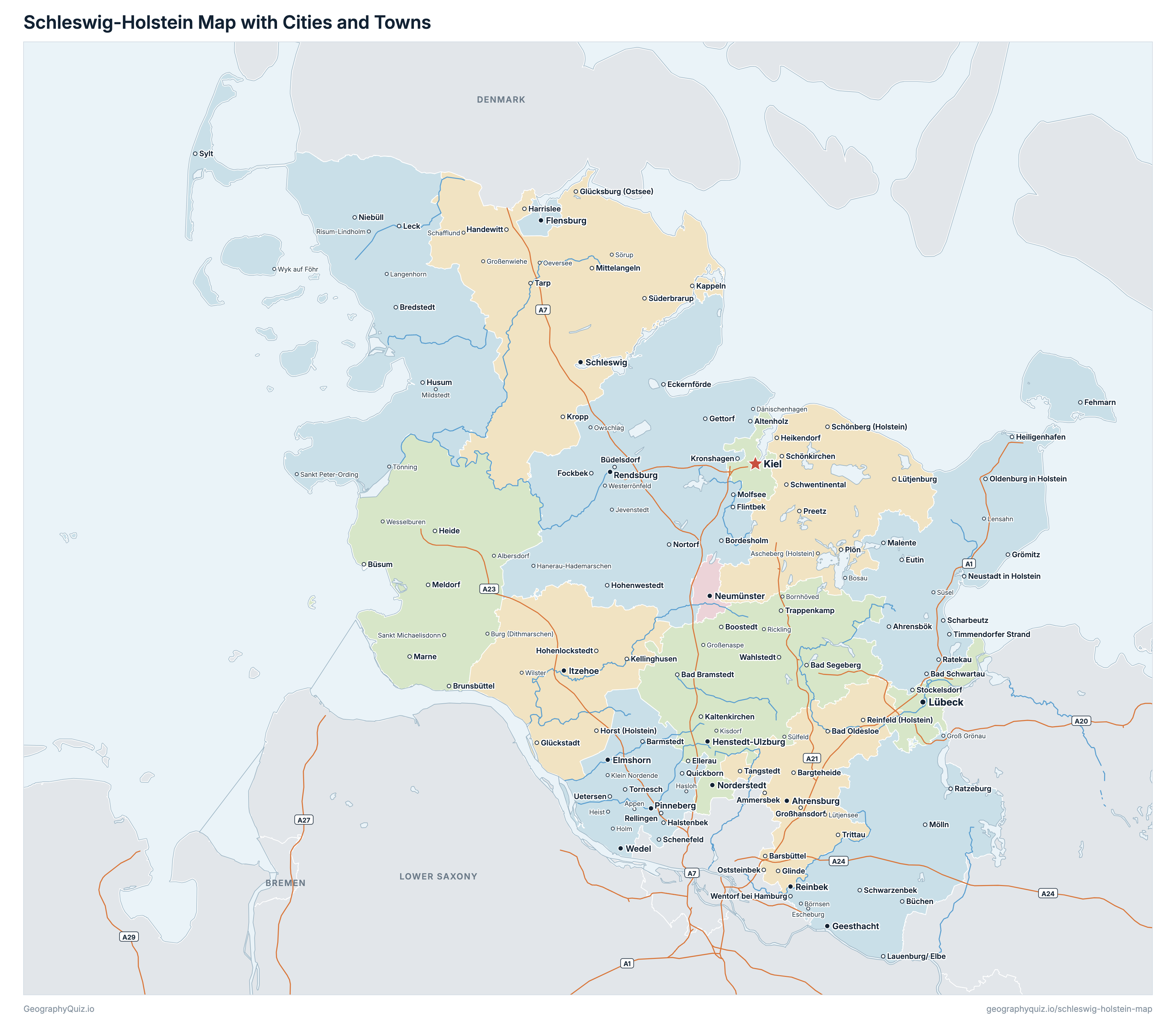
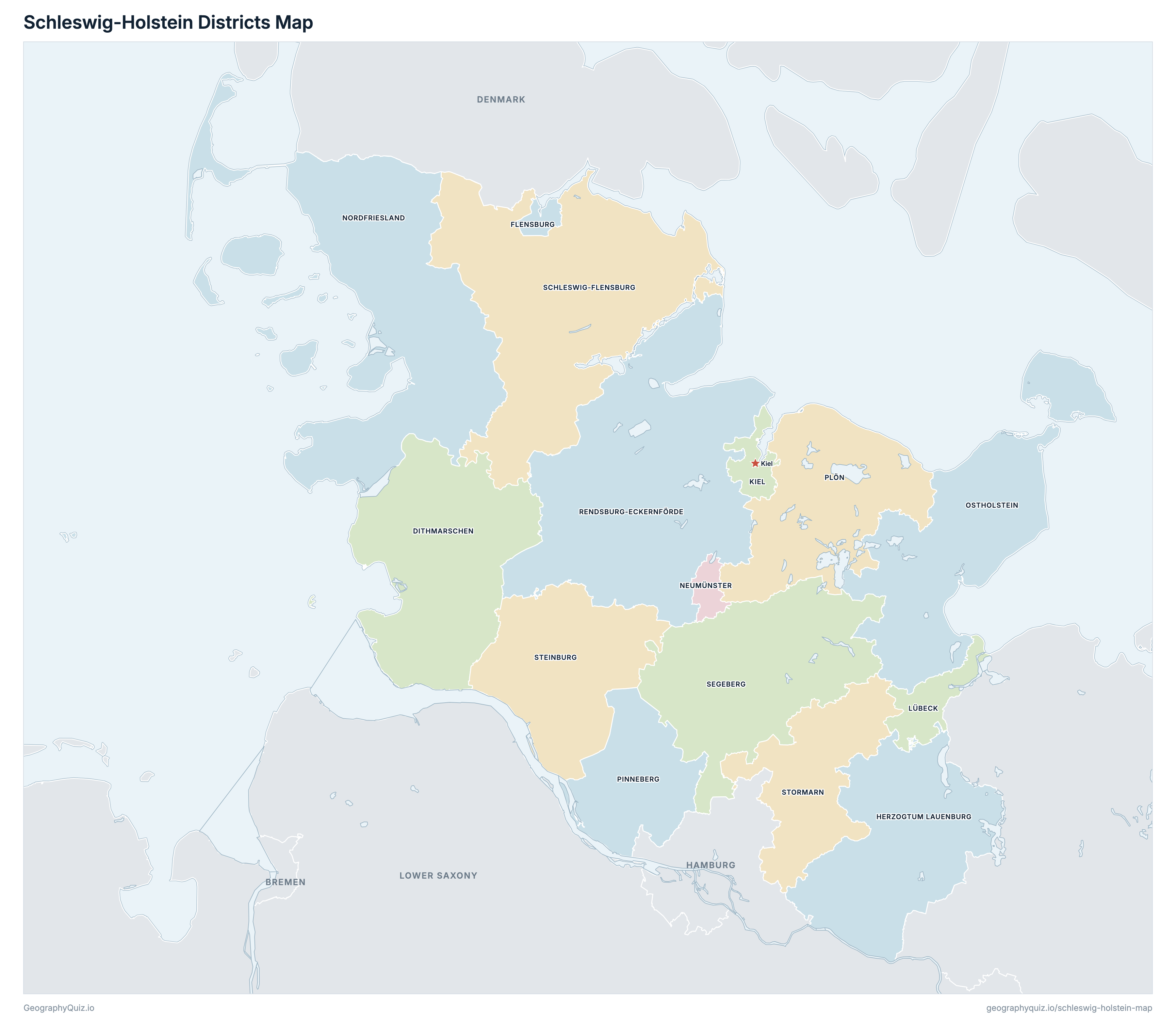
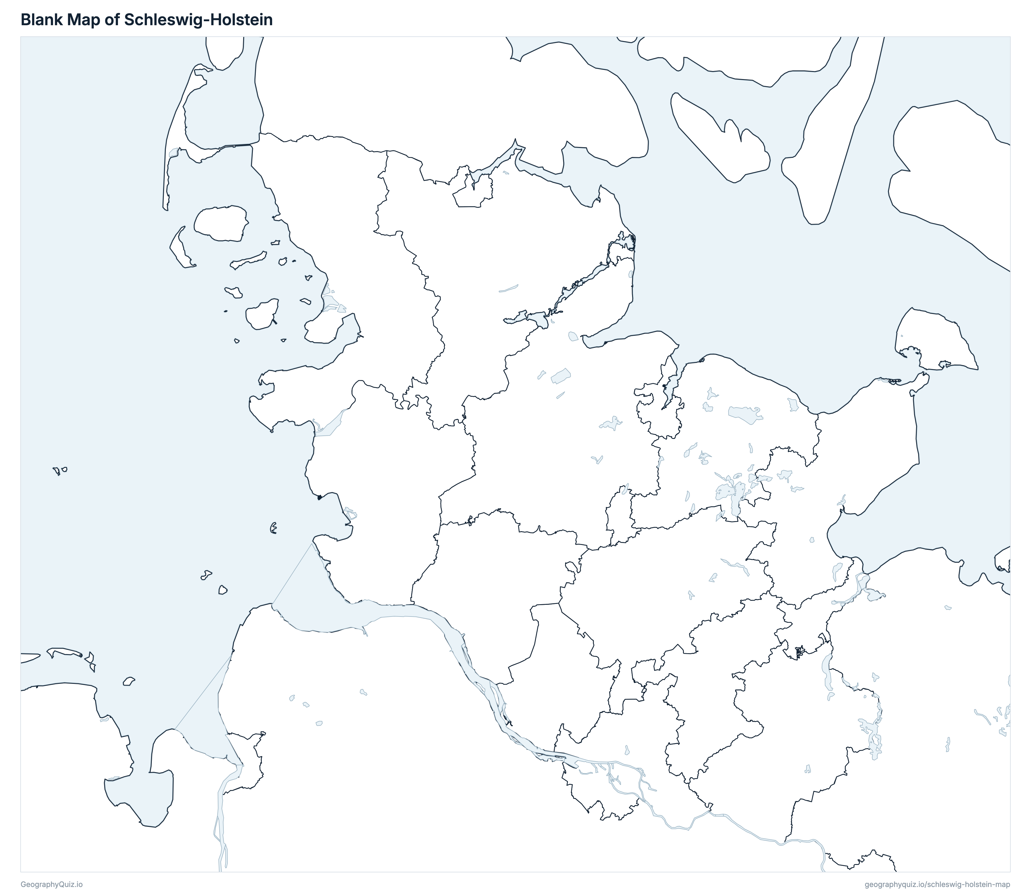
Free to print for class and home: Schleswig-Holstein with its cities and towns, a map of its districts, and a blank outline map. PDFs fit one A4 or US Letter page.
Schleswig-Holstein map with cities
Schleswig-Holstein districts map
Key facts
- Capital
- Kiel
- Largest city
- Kiel (251,842)
- Population
- 2,958,519 (2025)
- Area
- 15,804 km² (6,102 sq mi)
- Districts of Schleswig-Holstein
- 15
- Most populous district
- Pinneberg (325,858)
- Largest district by area
- Rendsburg-Eckernförde, 2,190 km² (846 sq mi)
About Schleswig-Holstein
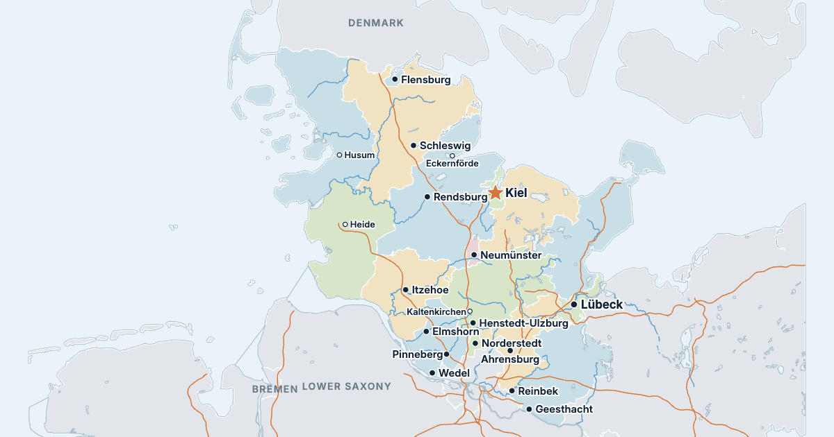
Schleswig-Holstein has 15 districts and about 2,958,519 people (2025) on 15,804 km² (6,102 sq mi). Kiel is both the capital and the largest city, with 251,842 people. It borders Hamburg, Lower Saxony, Mecklenburg-Western Pomerania and Denmark.
Pinneberg is the most populous district (325,858 people) and Neumünster the least (80,145); Rendsburg-Eckernförde is the largest by area (2,190 km²) and Flensburg the smallest (57 km²).
Largest cities in Schleswig-Holstein
The 25 most populous cities and towns. All 149 are on the map above: switch on Towns and zoom in to see them.
| # | City | District | Population |
|---|---|---|---|
| 1 | Kiel | Kiel | 251,842 |
| 2 | Lübeck | Lübeck | 217,061 |
| 3 | Flensburg | Flensburg | 95,568 |
| 4 | Norderstedt | Segeberg | 83,196 |
| 5 | Neumünster | Neumünster | 80,145 |
| 6 | Elmshorn | Pinneberg | 51,375 |
| 7 | Pinneberg | Pinneberg | 44,941 |
| 8 | Wedel | Pinneberg | 34,939 |
| 9 | Ahrensburg | Stormarn | 34,531 |
| 10 | Geesthacht | Herzogtum Lauenburg | 33,955 |
| 11 | Itzehoe | Steinburg | 32,850 |
| 12 | Rendsburg | Rendsburg-Eckernförde | 30,305 |
| 13 | Henstedt-Ulzburg | Segeberg | 28,345 |
| 14 | Reinbek | Stormarn | 28,146 |
| 15 | Schleswig | Schleswig-Flensburg | 25,567 |
| 16 | Bad Oldesloe | Stormarn | 24,981 |
| 17 | Husum | Nordfriesland | 23,976 |
| 18 | Kaltenkirchen | Segeberg | 23,585 |
| 19 | Quickborn | Pinneberg | 22,662 |
| 20 | Heide | Dithmarschen | 22,125 |
| 21 | Eckernförde | Rendsburg-Eckernförde | 21,599 |
| 22 | Bad Schwartau | Ostholstein | 19,918 |
| 23 | Schenefeld | Pinneberg | 19,875 |
| 24 | Mölln | Herzogtum Lauenburg | 19,513 |
| 25 | Uetersen | Pinneberg | 18,936 |
Populations are the Federal Statistical Office's population on 31 December 2025, carried forward from the 2022 census, counted in the municipalities of that day; a district's population and area are the sums of its municipalities', and the districts add up to the state's 2,958,519. Towns are whole municipalities (Gemeinden), so a city's figure stops at its boundary.
Districts of Schleswig-Holstein
All 15 districts. Select one to show it on the map.
| Kreis | 133,405 | 1,428 | |
| Kreisfreie Stadt | 95,568 | 57 | |
| Kreis | 206,492 | 1,263 | |
| Kreisfreie Stadt | 251,842 | 119 | |
| Kreisfreie Stadt | 217,061 | 214 | |
| Kreisfreie Stadt | 80,145 | 72 | |
| Kreis | 170,148 | 2,084 | |
| Kreis | 201,222 | 1,393 | |
| Kreis | 325,858 | 664 | |
| Kreis | 130,318 | 1,084 | |
| Kreis | 277,263 | 2,190 | |
| Kreis | 205,816 | 2,071 | |
| Kreis | 283,770 | 1,344 | |
| Kreis | 132,217 | 1,056 | |
| Kreis | 247,394 | 766 |
Quizzes and worksheets
Sources
- Districts, states and Germany's border: Federal Agency for Cartography and Geodesy (BKG), Verwaltungsgebiete 1:250 000 (VG250), the boundaries of 1 January 2026, daten.gdz.bkg.bund.de (dl-de/by-2-0).
- Populations, areas and town locations: Federal Statistical Office (Destatis) for the Statistical Offices of the Federation and the Länder, Gemeindeverzeichnis (GV-ISys), all municipalities on 31 December 2025, population on the basis of the 2022 census.
- Autobahns, rivers and lakes: BKG, Digitales Landschaftsmodell 1:1 000 000 (DLM1000), daten.gdz.bkg.bund.de (dl-de/by-2-0).