Interactive map
West Africa Map
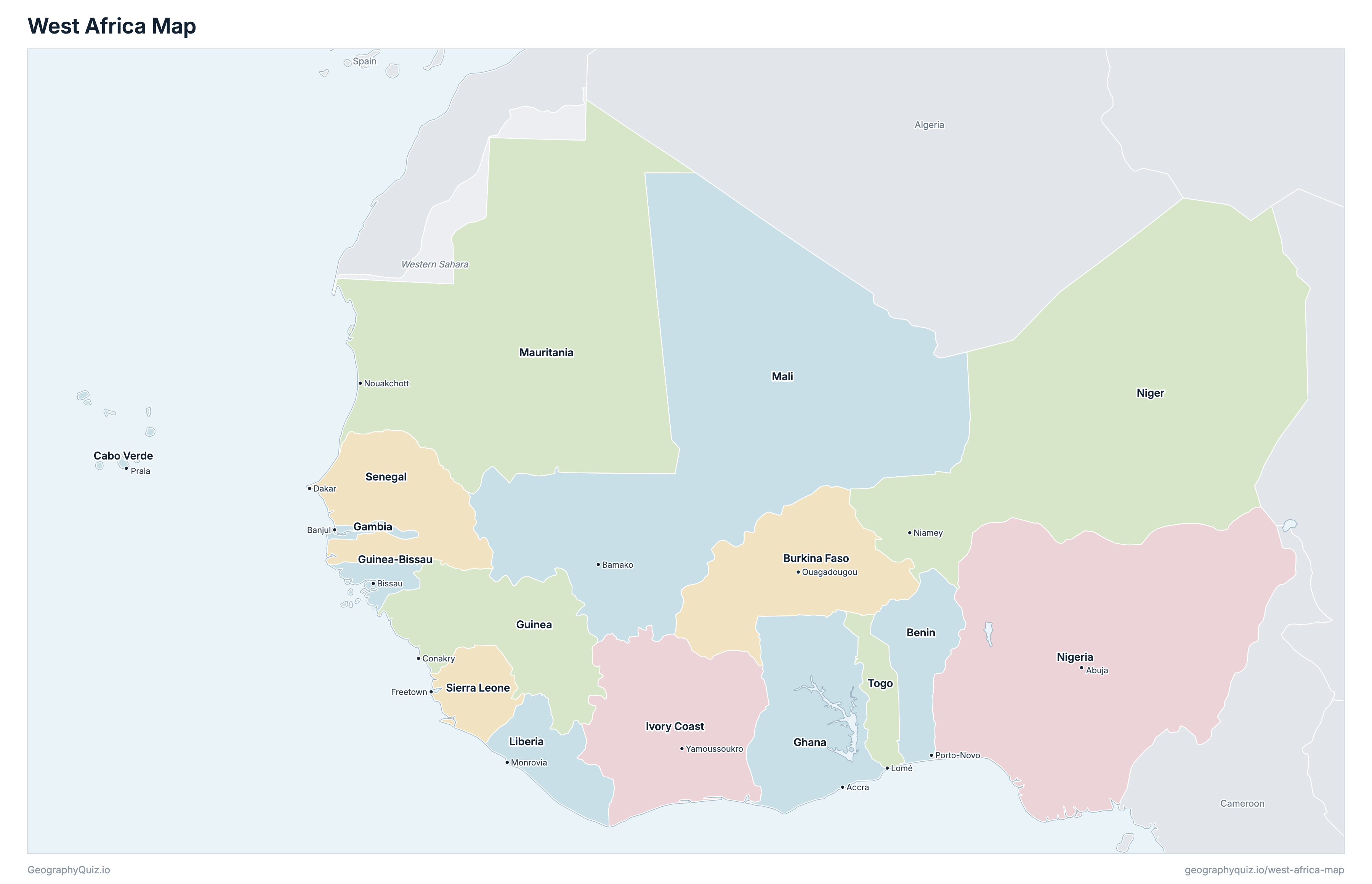
The 16 countries of West Africa on a zoomable map, from Cabo Verde and Senegal to Niger and Nigeria. Tap or click a country to see its flag, capital, population, area, official languages and currency. Zoom in to see every name, capital, river and mountain: where labels would overlap, some only appear as you get closer.
Loading the map…
Download the map
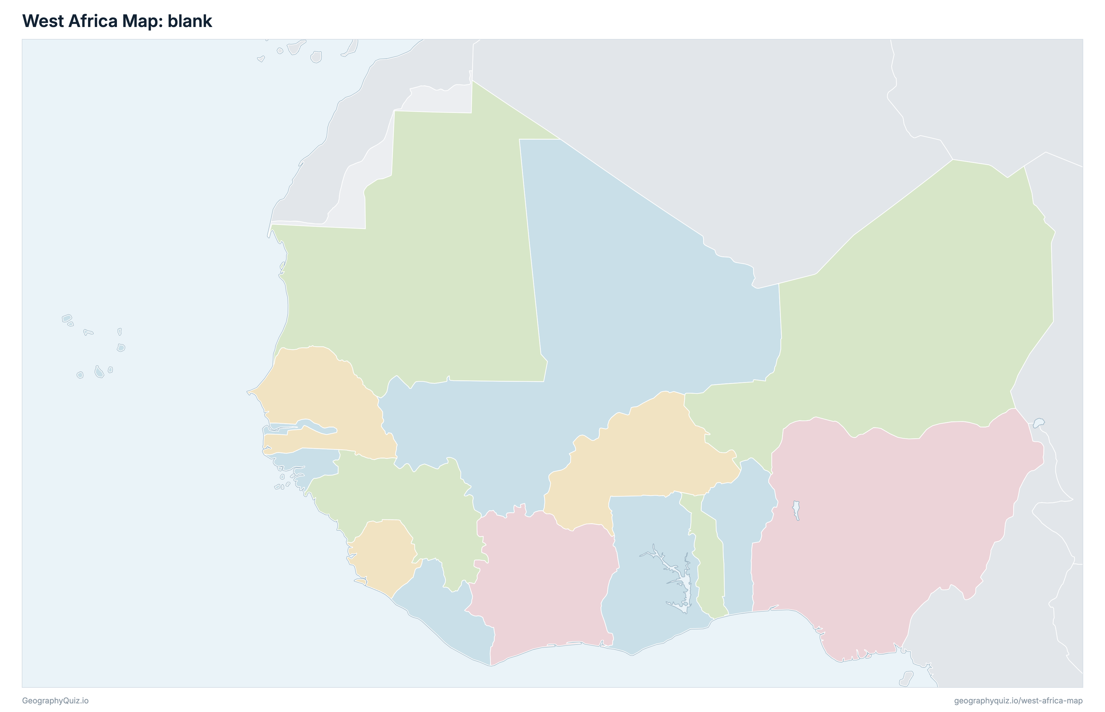
Free to print for your class or your wall: the labelled map in colour, with every capital, or a blank outline map to fill in.
Learn the map of West Africa
About West Africa
West Africa has 16 countries, home to about 467.9 million people across 6,143,409 km² (2,371,983 sq mi).
The largest country by area is Niger, at 1,267,000 km², about 21% of the total; the smallest is Cabo Verde, at 4,033 km².
Nigeria has the most people, about 244.3 million (52% of the total), and Cabo Verde the fewest, about 611,014. The most densely populated is Nigeria, with about 265 people per km².
3 of the 16 countries are landlocked: Burkina Faso, Mali and Niger.
Countries of West Africa and their capitals
All 16 countries, with each capital, population and area. Sort by any column, or select a name to show it on the map.
| Porto-Novo | 15,186,090 | 112,622 | |
| Ouagadougou | 23,490,300 | 274,200 | |
| Praia | 611,014 | 4,033 | |
| Banjul | 2,523,327 | 11,300 | |
| Accra | 35,336,133 | 238,533 | |
| Conakry | 14,374,590 | 245,857 | |
| Bissau | 2,132,325 | 36,125 | |
| Yamoussoukro | 31,855,971 | 322,463 | |
| Monrovia | 5,563,541 | 111,369 | |
| Bamako | 22,634,423 | 1,240,192 | |
| Nouakchott | 5,202,109 | 1,030,700 | |
| Niamey | 27,322,555 | 1,267,000 | |
| Abuja | 244,344,065 | 923,768 | |
| Dakar | 18,847,519 | 196,722 | |
| Freetown | 9,331,203 | 71,740 | |
| Lomé | 9,143,439 | 56,785 |
The 16 countries of Western Africa in the United Nations geoscheme (M49): Benin, Burkina Faso, Cabo Verde, Gambia, Ghana, Guinea, Guinea-Bissau, Ivory Coast, Liberia, Mali, Mauritania, Niger, Nigeria, Senegal, Sierra Leone and Togo. Saint Helena, a British territory the UN also lists here, lies far out in the Atlantic, off the map. Western Sahara, a disputed territory, is shown in grey.
Sources
- Capitals and official languages: national constitutions and government sources.
- Currencies: the ISO 4217 currency list and national central banks, checked October 2026.
- Borders, coastlines, rivers and mountains: official sources. Disputed borders are shown as they are commonly drawn, which is not an endorsement of any claim.
- Population and area: CIA World Factbook (2024 and 2025 estimates; total area including inland water), which capitals and languages were also checked against.