Interactive map
East Africa Map
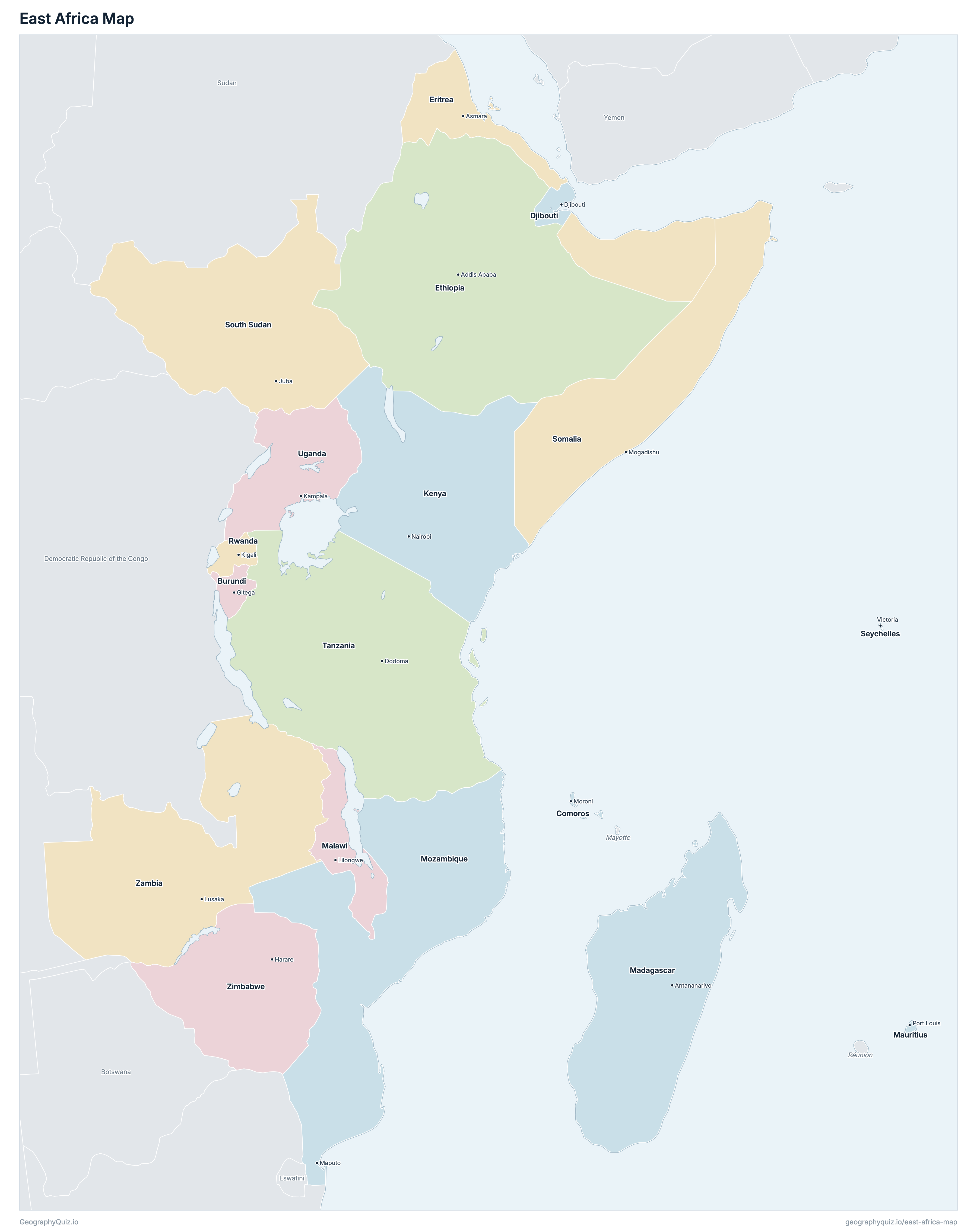
The 18 countries of East Africa on a zoomable map, from Eritrea and Ethiopia to Zimbabwe, Mozambique and the islands of the Indian Ocean. Tap or click a country to see its flag, capital, population, area, official languages and currency. Zoom in to see every name, capital, river and mountain: where labels would overlap, some only appear as you get closer.
Loading the map…
Download the map
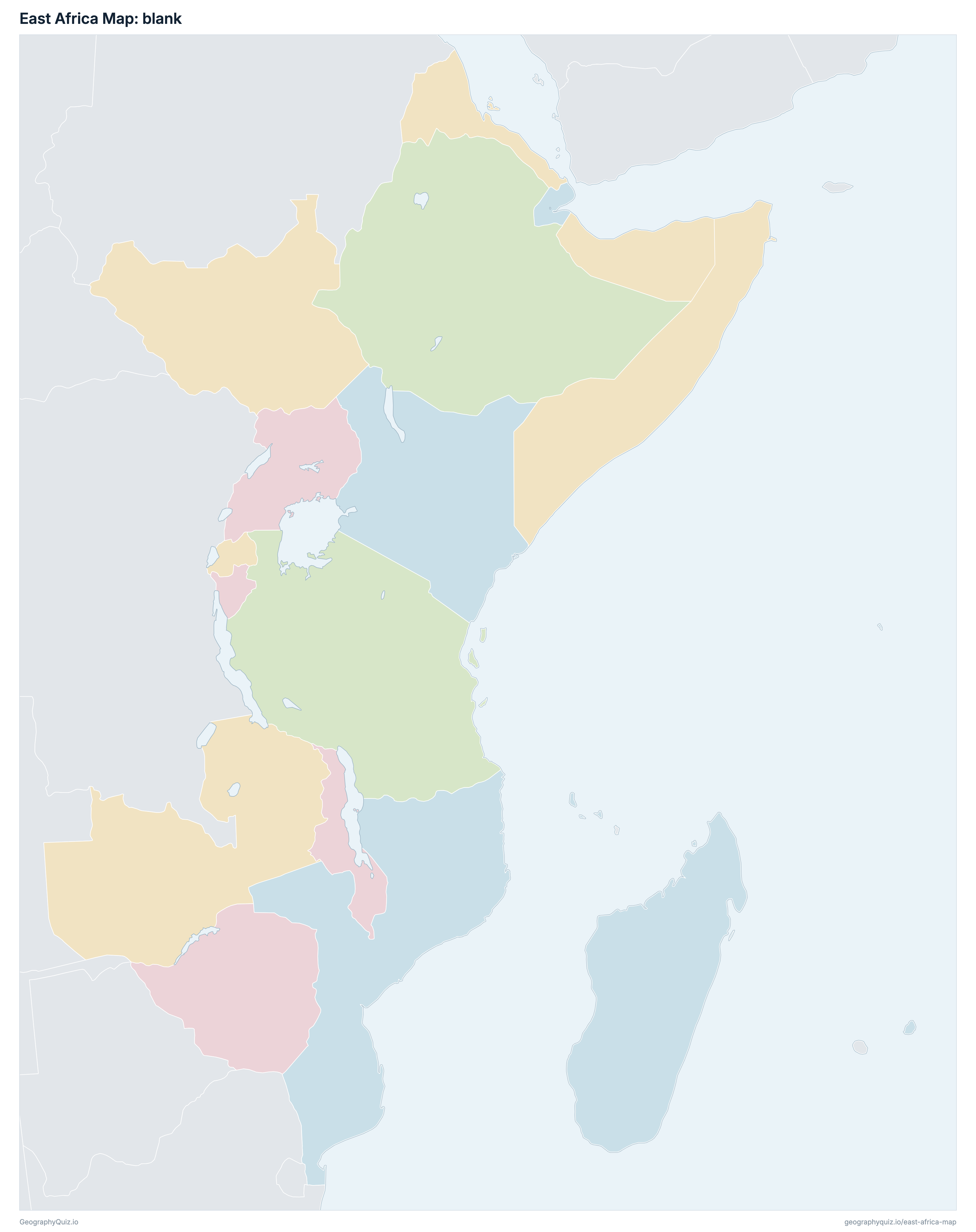
Free to print for your class or your wall: the labelled map in colour, with every capital, or a blank outline map to fill in.
Learn the map of East Africa
About East Africa
East Africa has 18 countries, home to about 493.9 million people across 7,002,969 km² (2,703,860 sq mi).
The largest country by area is Ethiopia, at 1,104,300 km², about 16% of the total; the smallest is Seychelles, at 455 km².
Ethiopia has the most people, about 121.4 million (25% of the total), and Seychelles the fewest, about 98,187. The most densely populated is Mauritius, with about 643 people per km².
8 of the 18 countries are landlocked: Burundi, Ethiopia, Malawi, Rwanda, South Sudan, Uganda, Zambia and Zimbabwe.
Countries of East Africa and their capitals
All 18 countries, with each capital, population and area. Sort by any column, or select a name to show it on the map.
| Gitega | 13,590,102 | 27,830 | |
| Moroni | 911,707 | 2,235 | |
| Djibouti | 1,013,703 | 23,200 | |
| Asmara | 6,416,435 | 117,600 | |
| Addis Ababa | 121,372,632 | 1,104,300 | |
| Nairobi | 55,751,717 | 580,367 | |
| Antananarivo | 31,345,040 | 587,041 | |
| Lilongwe | 21,763,309 | 118,484 | |
| Port Louis | 1,311,375 | 2,040 | |
| Maputo | 34,206,144 | 799,380 | |
| Kigali | 13,623,302 | 26,338 | |
| Victoria | 98,187 | 455 | |
| Mogadishu | 20,324,160 | 637,657 | |
| Juba | 12,703,714 | 644,329 | |
| Dodoma | 69,145,464 | 947,300 | |
| Kampala | 50,863,850 | 241,038 | |
| Lusaka | 22,021,971 | 752,618 | |
| Harare | 17,472,752 | 390,757 |
The 18 countries of Eastern Africa in the United Nations geoscheme (M49): Burundi, Comoros, Djibouti, Eritrea, Ethiopia, Kenya, Madagascar, Malawi, Mauritius, Mozambique, Rwanda, Seychelles, Somalia, South Sudan, Tanzania, Uganda, Zambia and Zimbabwe. The UN also lists Réunion and Mayotte, which are parts of France, and two other overseas territories: they are not counted. Sudan is in Northern Africa in the UN scheme and is shown as a neighbour.
Sources
- Capitals and official languages: national constitutions and government sources.
- Currencies: the ISO 4217 currency list and national central banks, checked October 2026.
- Borders, coastlines, rivers and mountains: official sources. Disputed borders are shown as they are commonly drawn, which is not an endorsement of any claim.
- Population and area: CIA World Factbook (2024 and 2025 estimates; total area including inland water), which capitals and languages were also checked against.