US Letter landscape · 1 page · Map activity
US Map Coloring Page
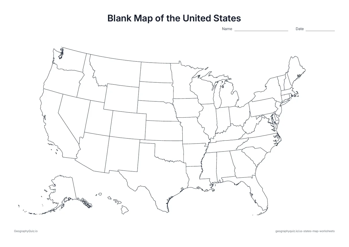
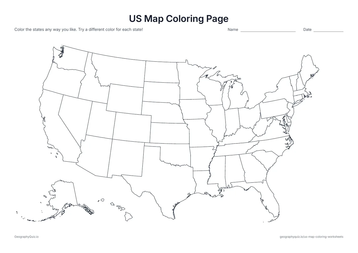
A map of the 50 states with every state border and no names: color the states any way you like.
Free teacher resource
Twelve coloring pages of the United States, from a plain outline for younger children to map activities for older students: color the 50 states or a large map of the lower 48, a map with every state named, the four regions, your own state and its neighbors, the coastal and border states, the largest states, the thirteen original states and a four-color challenge.
Every sheet comes as an A4 and a US Letter PDF.Print it, then play it
US Letter landscape · 1 page · Map activity
A map of the 50 states with every state border and no names: color the states any way you like.
US Letter landscape · 1 page · Map activity
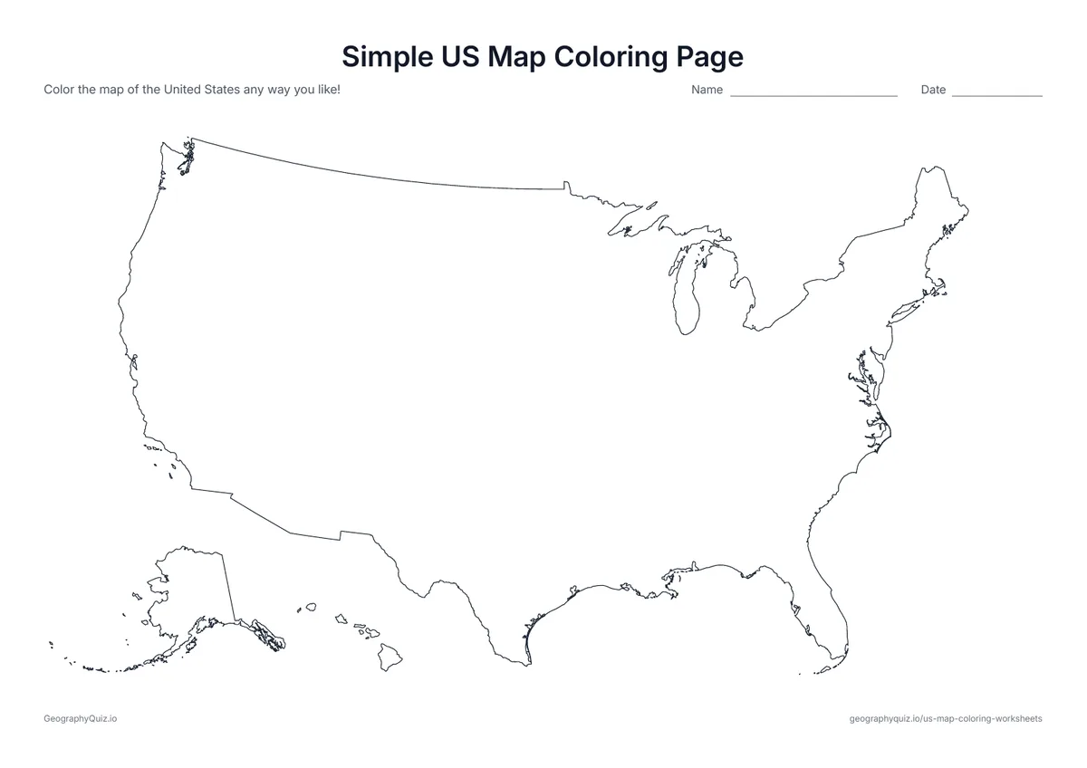
The outline of the United States with no state borders – one big shape that is easy to color for younger children.
US Letter landscape · 1 page · Map activity
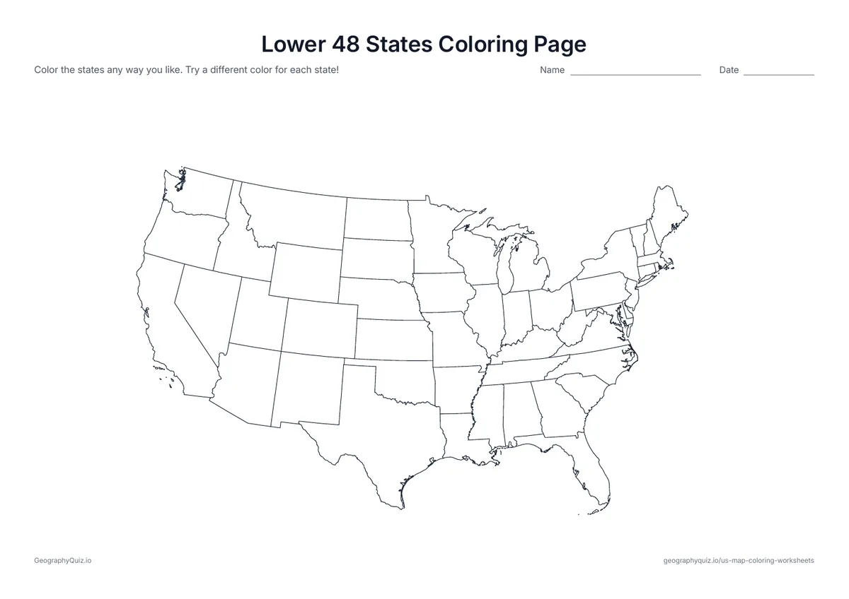
The 48 contiguous states drawn large across the page, without Alaska and Hawaii – more room to color each state.
US Letter landscape · 1 page · Reference map
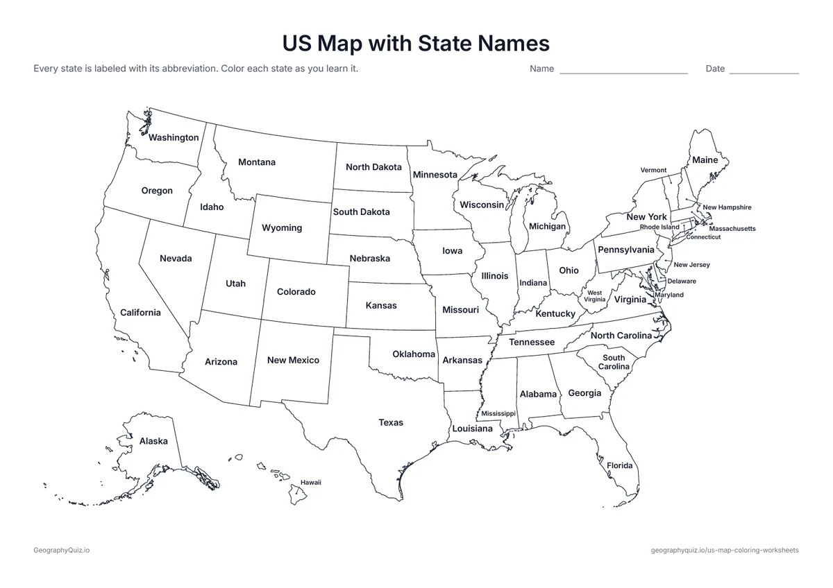
Every state is named on the map, with small north-eastern states labeled at the side. Color each state a different color.

US Letter landscape · 1 page · Map activity
Thick lines split the map into the Northeast, Midwest, South and West. Students color each region and answer two questions.

US Letter landscape · 1 page · Map activity
Students color their own state and every state that borders it, then answer two questions.
US Letter landscape · 1 page · Map activity
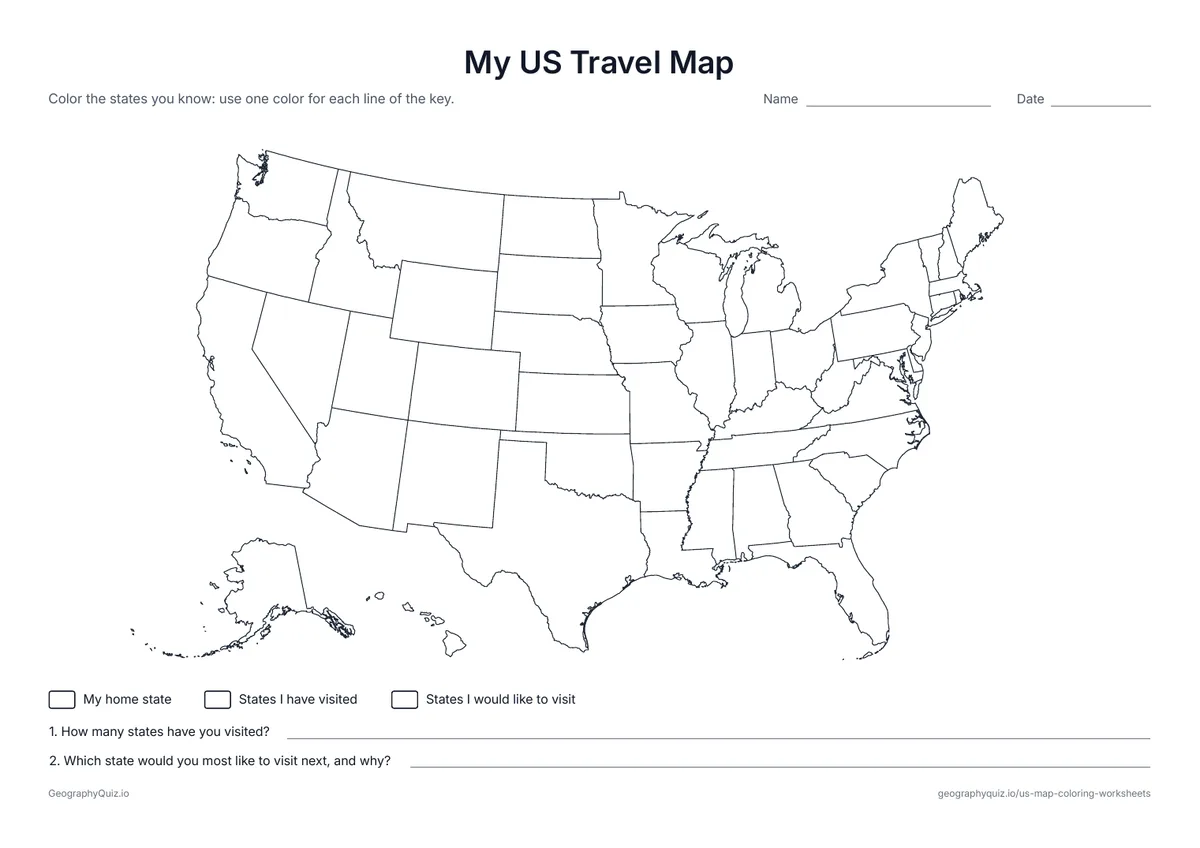
Color your home state, the states you have visited and the ones you would like to visit, then answer two questions.
US Letter landscape · 1 page · Map activity
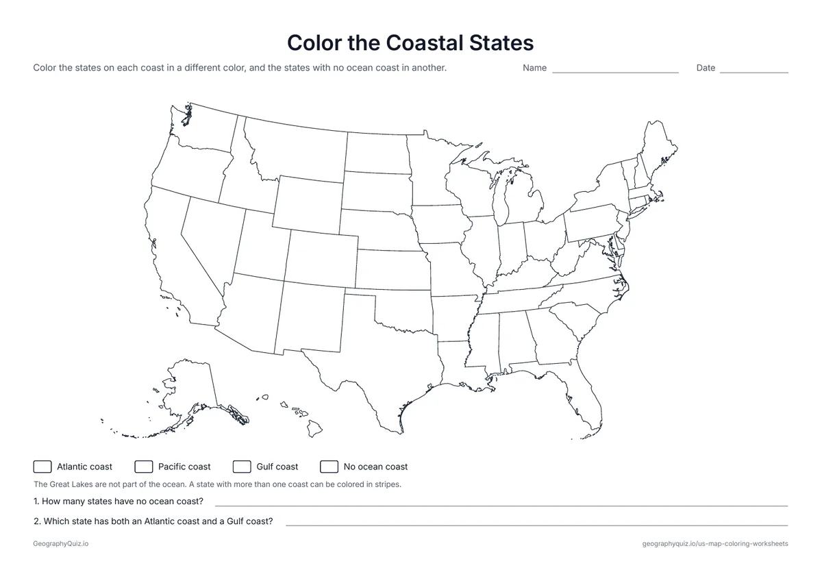
Students color the states on the Atlantic coast, the Pacific coast and the Gulf coast, and the states with no ocean coast.

US Letter landscape · 1 page · Map activity
Students color the states that border Canada and the states that border Mexico, then count them.
US Letter landscape · 1 page · Map activity
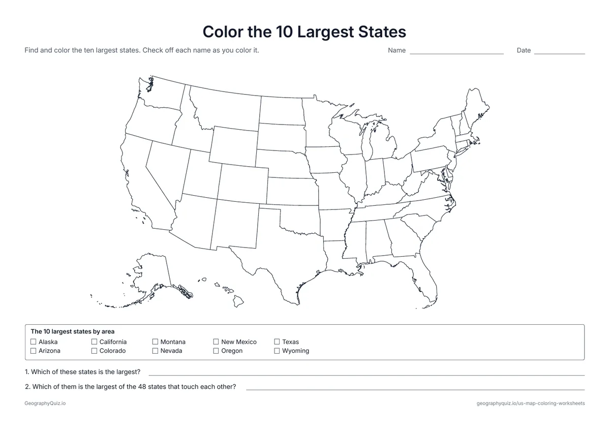
A checklist of the ten largest states by area. Students find and color each one and answer two questions.
US Letter landscape · 1 page · Map activity
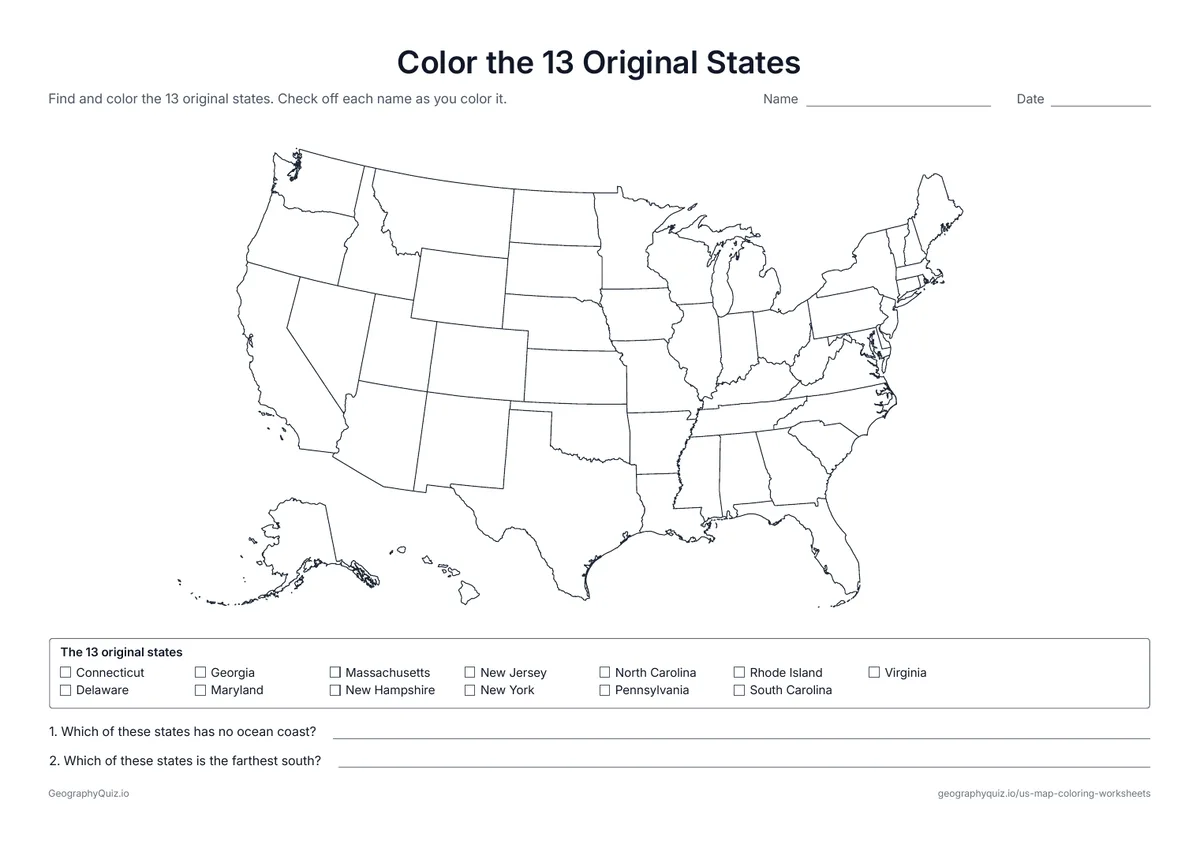
A checklist of the thirteen states that began as British colonies. Students find and color each one on the map.
US Letter landscape · 1 page · Map activity
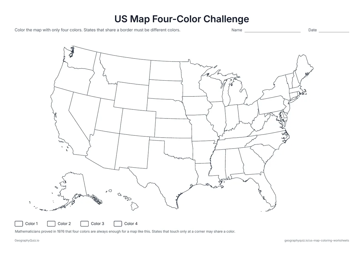
Color all 50 states with only four colors so that no two neighbors match – harder than it looks around Kentucky and Tennessee.
For teachers
Every sheet prints in black and white on one page, with Alaska and Hawaii in their usual places below the West, a short instruction and a Name line. The map with state names is a good first sheet for learning the 50 states; the regions, coasts and borders sheets make quick social studies starters for grades 2 to 5, and the travel map works well after a summer break.
Each activity has its instructions, a key to colour in and space for pupils' answers printed on the sheet. The maps are crisp black line drawings with no names, so they photocopy cleanly and pupils do the finding themselves.
Begin with the plain outline or the map with every state border, then use the map with state names for learning the 50 states. The regions, coastal and border states sheets each ask one geography question, and the travel map works well after a summer vacation or before a road trip – color each state you visit along the way.
The outline and state-border maps suit kindergarten to grade 2. The map with state names, the regions sheet and the travel map fit grades 2 to 4, and the coastal, border, largest and original states sheets suit grades 3 to 5, when most students learn the 50 states.
Can you color the US map so that no two states that touch share a color? Mathematicians proved that four colors are always enough for any map – and the US map really needs all four, because Nevada is surrounded by five states that would otherwise clash.
All 50 states are on every sheet. Alaska and Hawaii are drawn in their usual places below the West, at a smaller scale, so the whole country fits on one page.
Yes. The US map with state names labels every state; the small states in the Northeast are named at the side with leader lines.
Alaska is far to the northwest and Hawaii is in the middle of the Pacific Ocean, so maps of the United States usually move them closer and shrink Alaska, which would otherwise take up most of the page.
Four. No map ever needs more than four colors so that neighbors never match, and the US needs exactly four because of the five states around Nevada.
Yes. Every sheet comes as a US Letter PDF and an A4 PDF; choose the one that matches your printer paper.
Most US students learn the 50 states and their regions in grades 3 to 5, often in a fourth- or fifth-grade social studies unit.
Print it, then play it