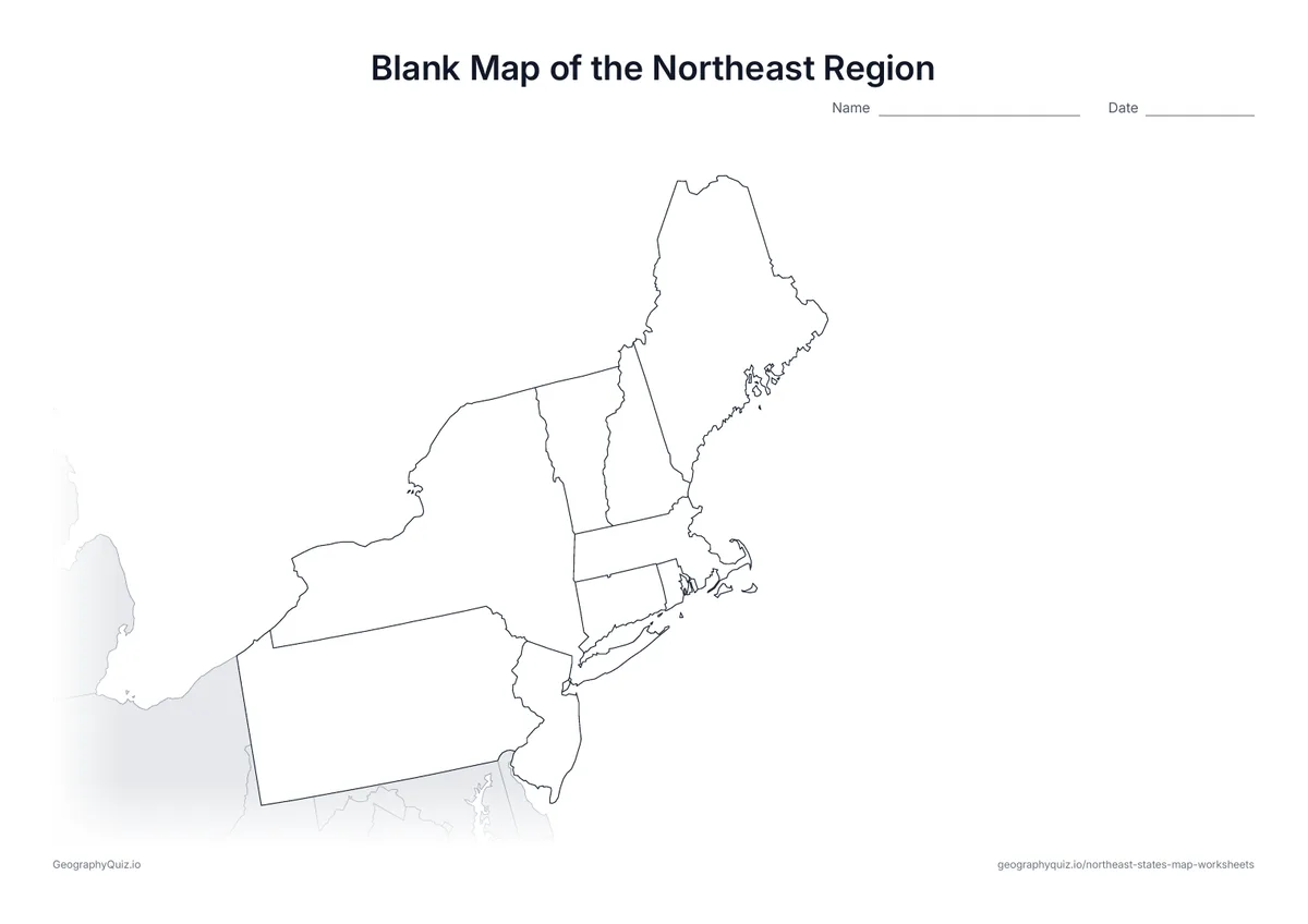
US Letter landscape · 1 page · Outline map
Blank Map of the Northeast Region
An outline map of the Northeast region with every state border and the neighbouring areas shaded grey, ready for labelling, colouring or your own activity.
Free teacher resource
Printable maps of the Northeast, one of the four US Census regions: a blank map, a label-the-states sheet, a labelled map and a state capitals sheet, with the rest of the country shaded grey.
Every sheet comes as an A4 and a US Letter PDF.Print it, then play it
US Letter landscape · 1 page · Outline map
An outline map of the Northeast region with every state border and the neighbouring areas shaded grey, ready for labelling, colouring or your own activity.
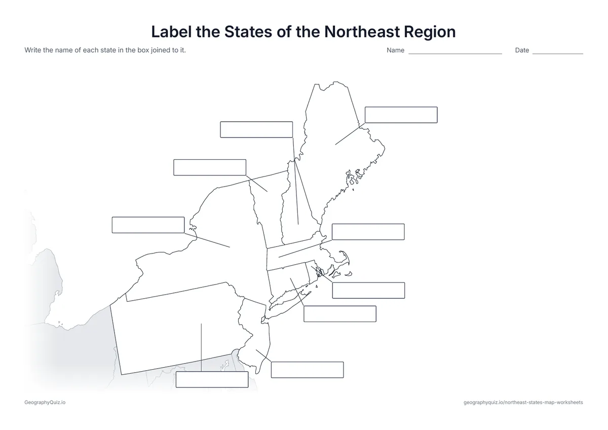
US Letter landscape · 1 page · 9 to label
An empty answer box is joined to each of the 9 states by a line, as on the world continents sheet. Pupils write the names in the boxes.
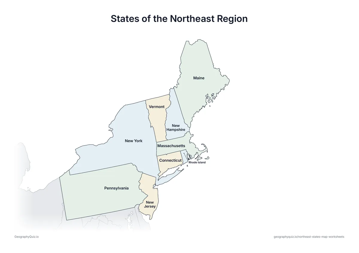
US Letter landscape · 1 page · Reference map
The same map with all 9 state names printed on it, for teaching, revision or checking pupils' work.
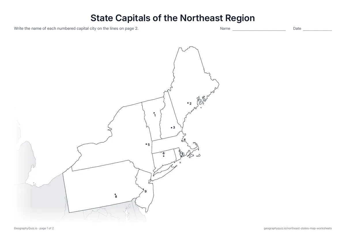
US Letter landscape · 2 pages · 9 capitals
Each state capital is marked with a numbered dot. Pupils write the names on the numbered lines.
For teachers
The nine states of New England and the Mid-Atlantic, from Maine to Pennsylvania. On the label-it sheet, each state has an empty answer box joined to it by a line, with the small states' boxes out in the Atlantic. The regions follow the US Census Bureau: Northeast, Midwest, South and West.
On the label-it and capitals sheets, pupils write the names on the numbered lines – or, where there are ten places or fewer, in the empty answer box joined to each place; the labelled map doubles as a reference sheet. All sheets are crisp black line maps with light shading, so they photocopy and print cleanly in black and white.
Print it, then play it