US Letter landscape · 1 page · Map activity
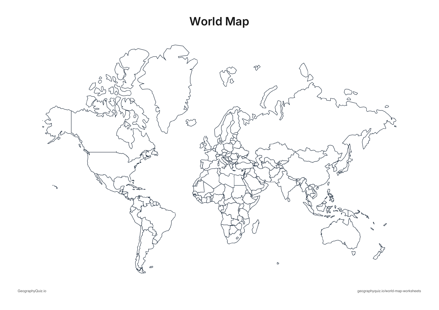
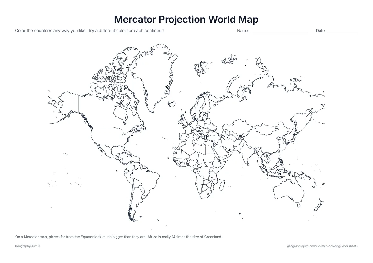
Mercator Projection World Map
The classic Mercator map, with a note on why Greenland looks as big as Africa – a good talking point.
Free teacher resource
Eighteen world map coloring pages, from a simple outline for younger children to map activities for older students: the world in six different map projections and as a globe, color the continents and oceans, color by number, find the largest countries, trace the Equator and the Prime Meridian, try the four-color challenge, and keep a map of the places you have been.
Every sheet comes as an A4 and a US Letter PDF.Print it, then play it
US Letter landscape · 1 page · Map activity
The classic Mercator map, with a note on why Greenland looks as big as Africa – a good talking point.
US Letter landscape · 1 page · Map activity
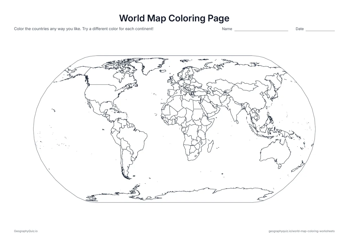
A world map with every country outlined and no names: color the countries any way you like.
US Letter landscape · 1 page · Map activity
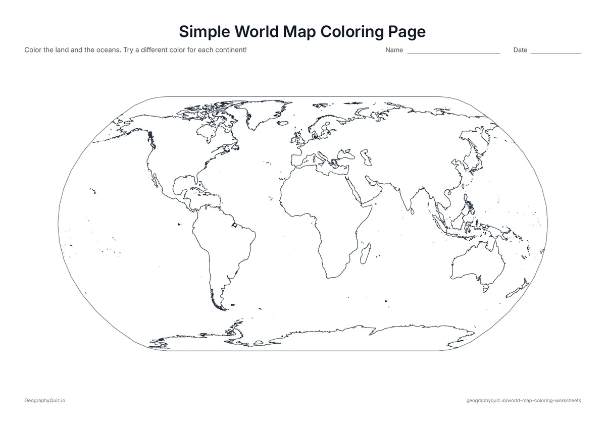
The continents as big, simple shapes with no country borders – easy to color for younger children.
US Letter landscape · 1 page · Map activity
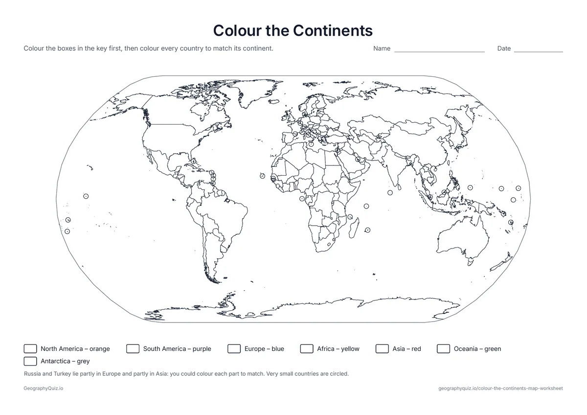
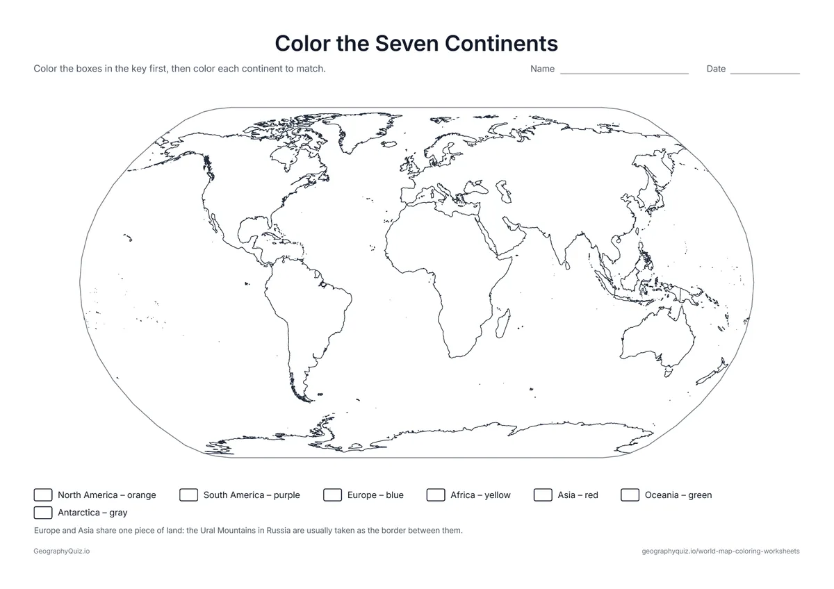
A map of the seven continents with a color key: students color the key first, then each continent to match.
US Letter landscape · 1 page · Map activity
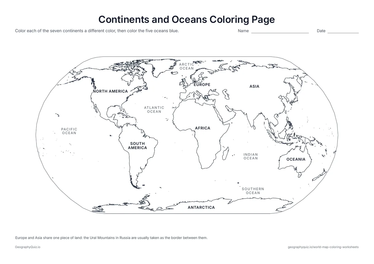
The seven continents and five oceans are named on the map. Color each continent a different color and the oceans blue.
US Letter landscape · 1 page · Map activity
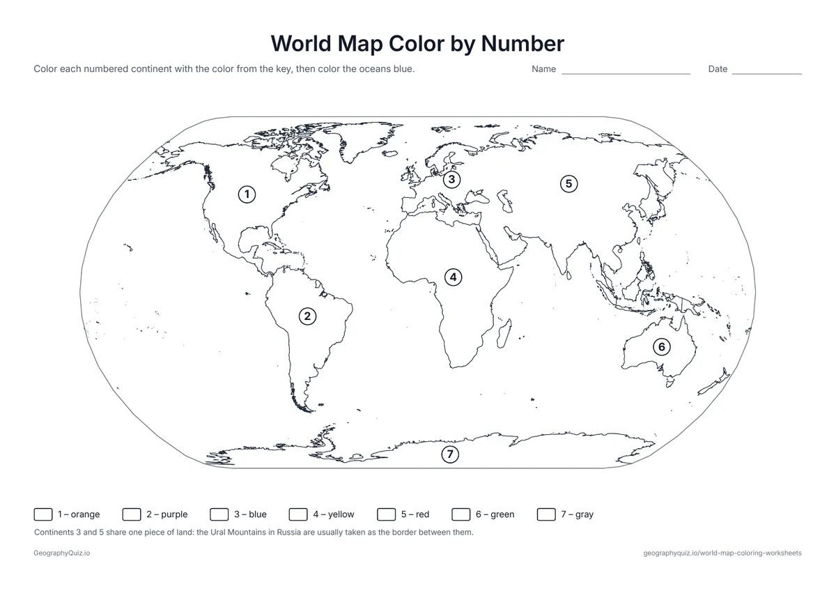
Each continent carries a number from 1 to 7. Students color it with the matching color from the key.
US Letter landscape · 1 page · Map activity
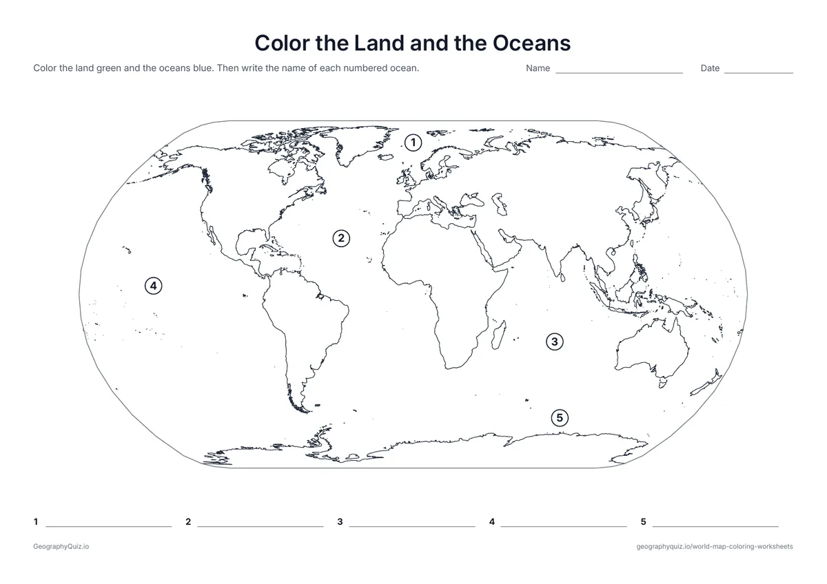
Color the land green and the water blue, then write the name of each numbered ocean.
US Letter landscape · 1 page · Map activity
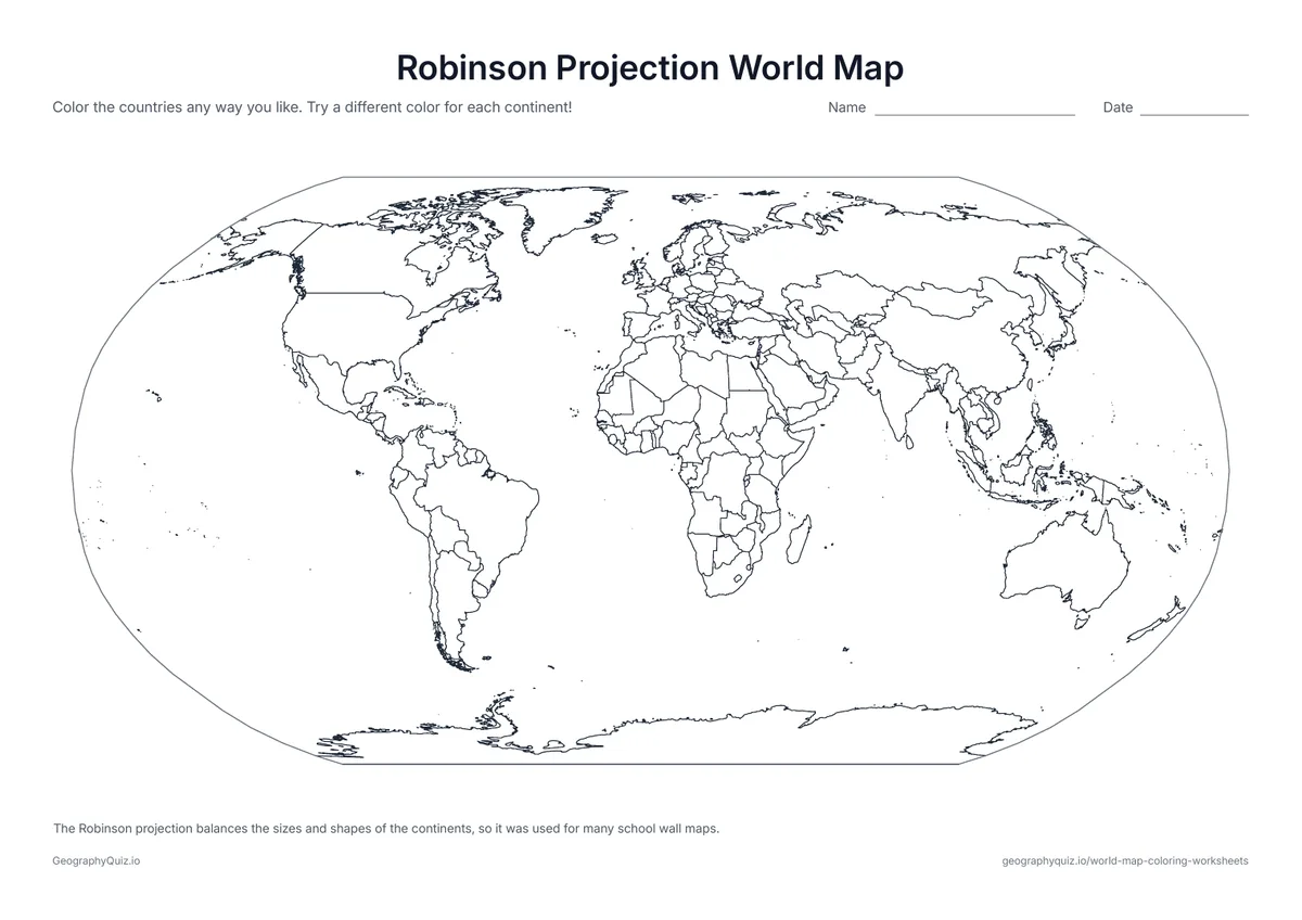
The world in the Robinson projection, a favorite for school wall maps because it balances the sizes and shapes of the continents.
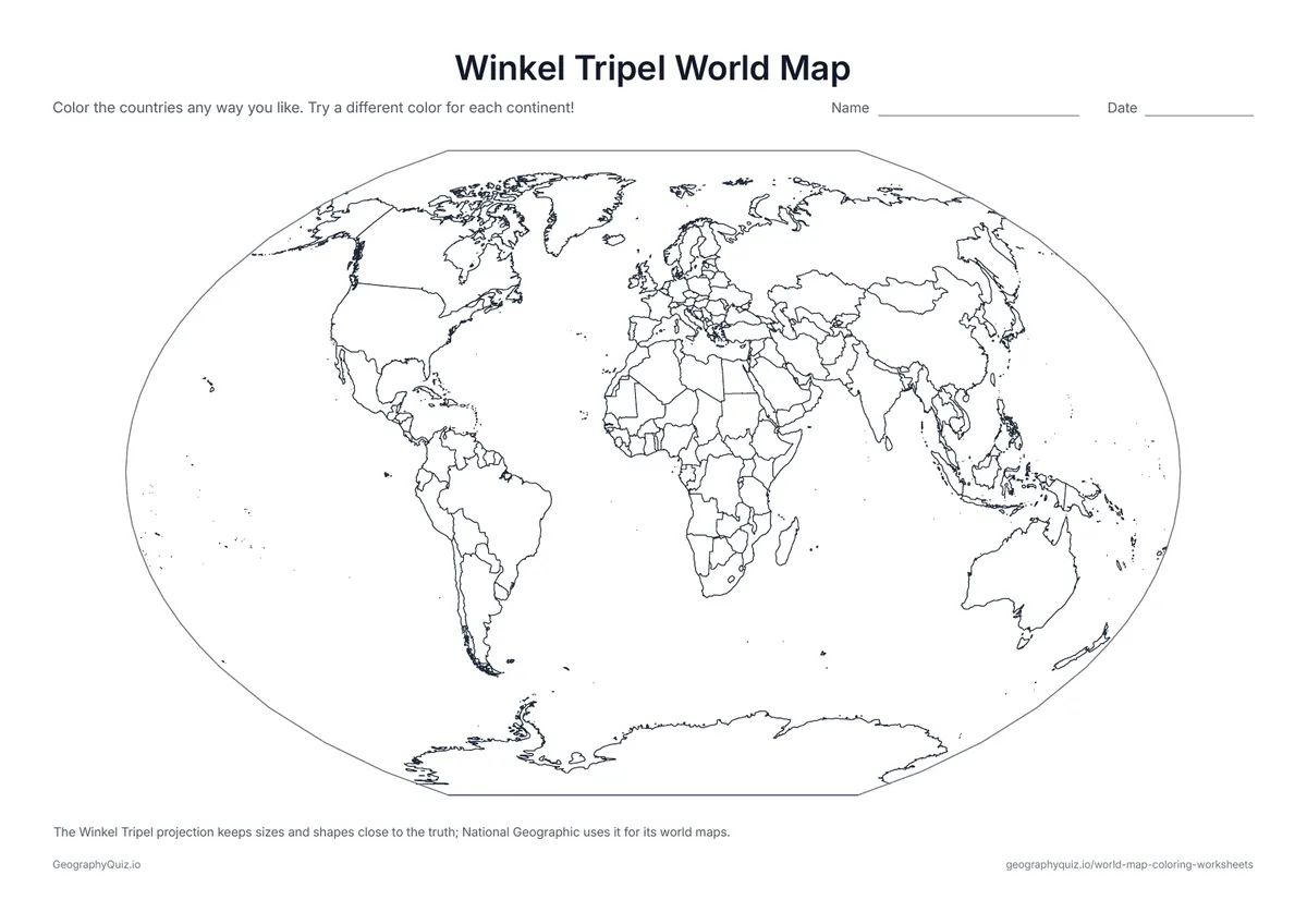
US Letter landscape · 1 page · Map activity
The world in the Winkel Tripel projection, the one National Geographic uses for its world maps.
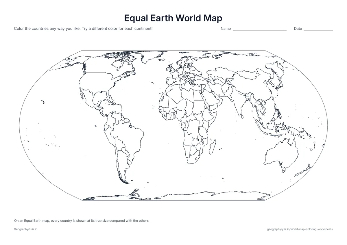
US Letter landscape · 1 page · Map activity
The Equal Earth projection, which shows every country at its true size compared with the others.

US Letter landscape · 1 page · Map activity
The world with the Pacific Ocean in the middle, as many maps in Asia and Oceania show it.
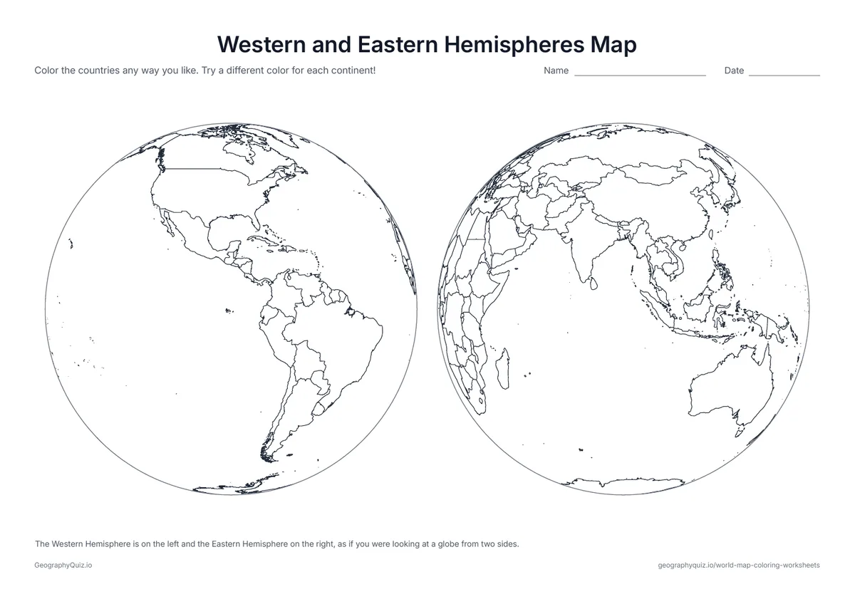
US Letter landscape · 1 page · Map activity
Two globes side by side: the Americas on one, Europe, Africa, Asia and Australia on the other.
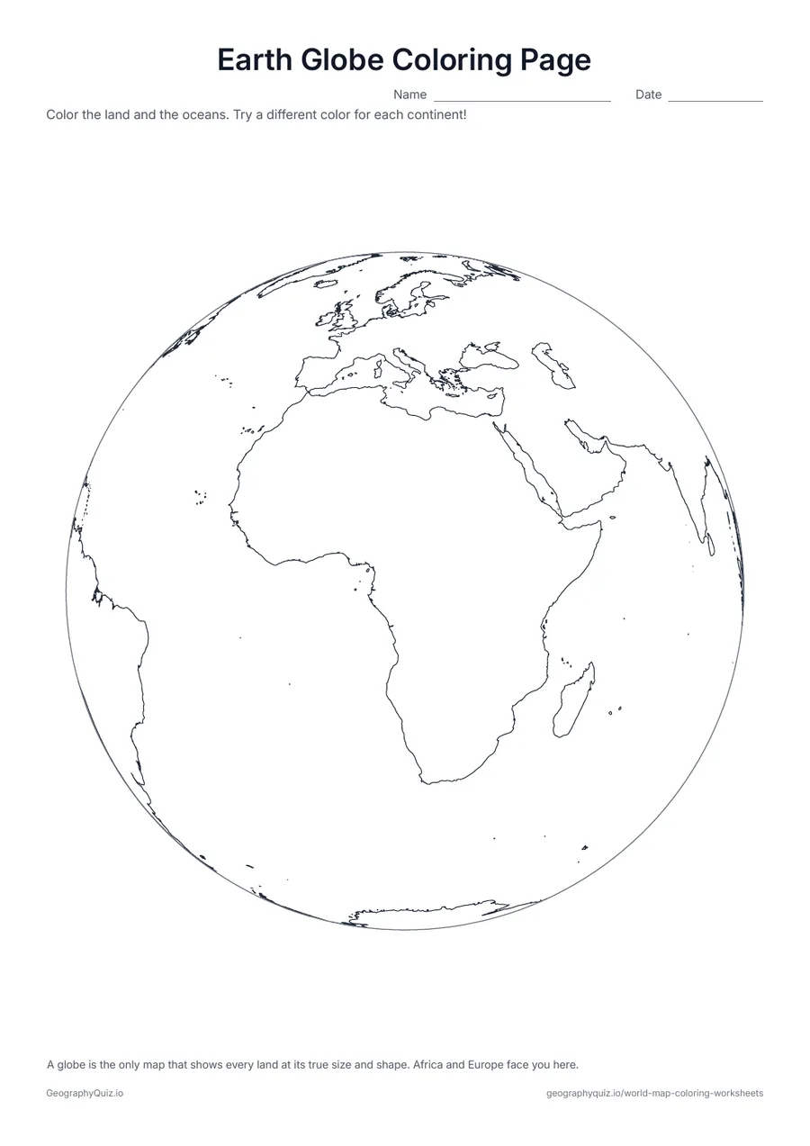
US Letter portrait · 1 page · Map activity
The Earth as a round globe, with Africa and Europe in the middle: color the land green and brown and the oceans blue.

US Letter landscape · 1 page · Map activity
Color your home country, the countries you have visited and the ones you would like to visit, then answer two questions.
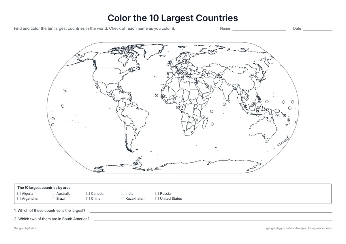
US Letter landscape · 1 page · Map activity
A world map with every country border and a checklist of the ten largest countries by area. Students find and color each one.
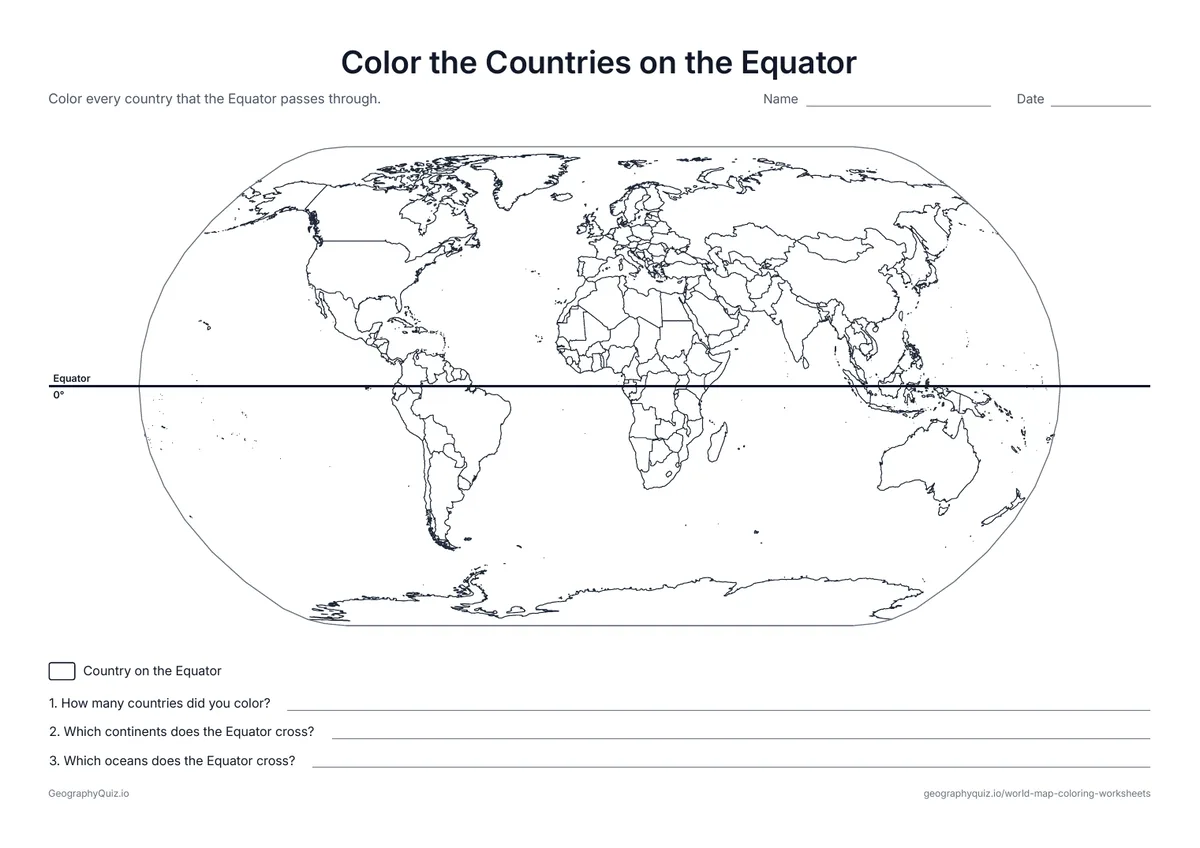
US Letter landscape · 1 page · Map activity
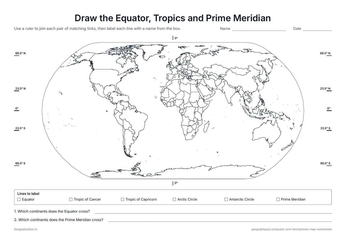
The Equator is drawn across the map. Students color every country it passes through and answer three questions.
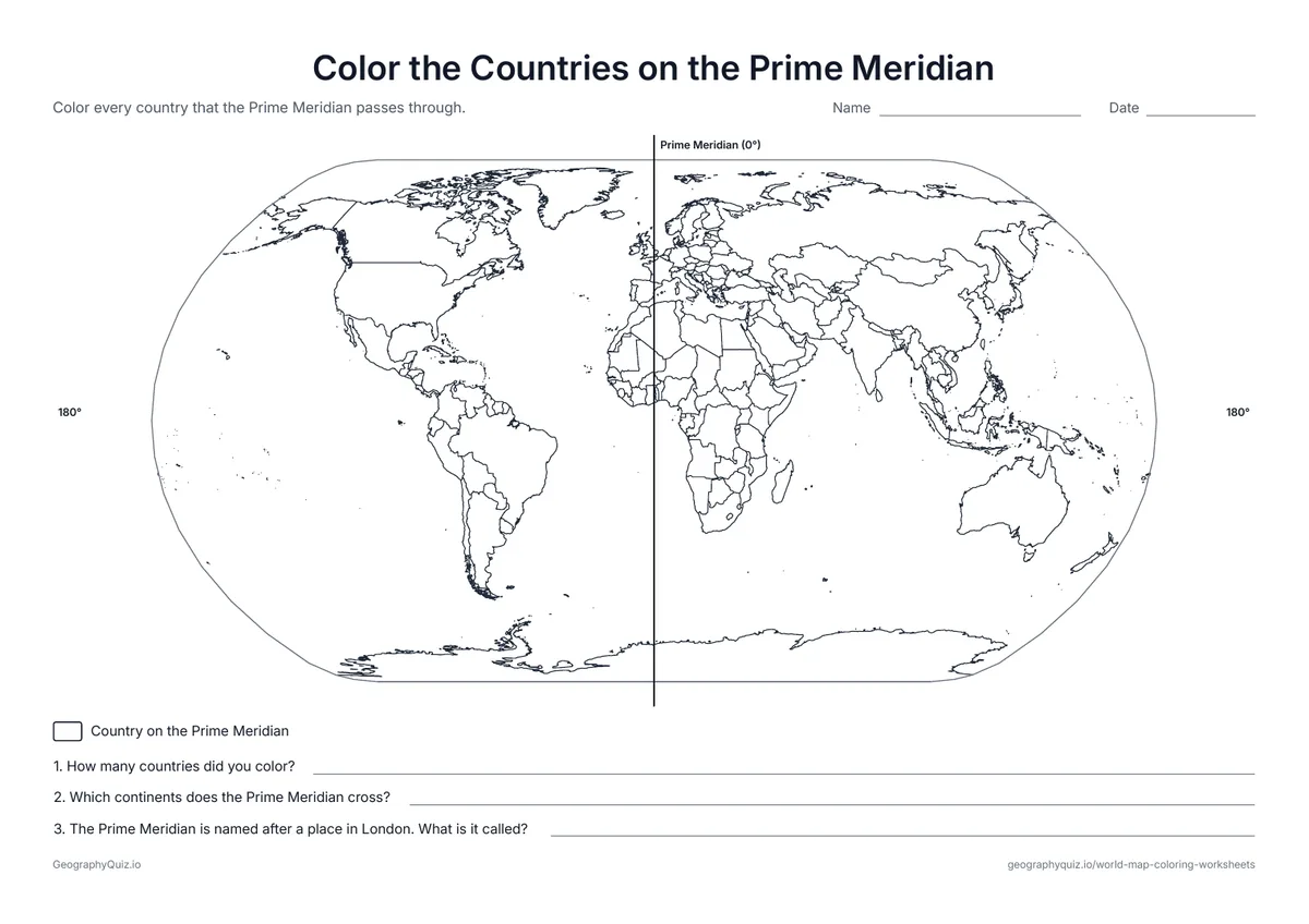
US Letter landscape · 1 page · Map activity
The Prime Meridian runs down the map from pole to pole. Students color every country it crosses and answer three questions.
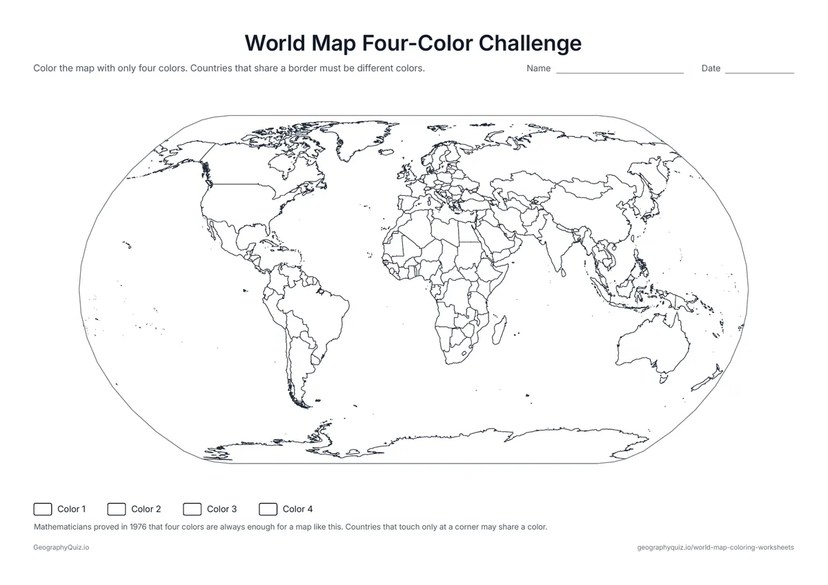
US Letter landscape · 1 page · Map activity
Color every country with only four colors so that no two neighbors match – a puzzle with a famous piece of math behind it.
For teachers
Every sheet prints in black and white on one page, with the title and a short instruction at the top and a Name line on the activity sheets. The plain maps make good early-finisher or fun-Friday pages; the color-by-number and continents sheets work as a first lesson on the seven continents, and the Equator, Prime Meridian and largest-countries sheets suit grades 3 to 6.
Each activity has its instructions, a key to colour in and space for pupils' answers printed on the sheet. The maps are crisp black line drawings with no names, so they photocopy cleanly and pupils do the finding themselves.
Start younger children on the simple map, where each continent is one big shape, then move to the maps with every country border. The color-the-continents and color-by-number sheets turn coloring into a first lesson on the seven continents, and the largest-countries, Equator and Prime Meridian sheets add a short map task for older students. Print in black and white on plain paper; card stock works well for maps you want to display.
Every flat world map stretches the round Earth somewhere. Mercator keeps shapes but makes places near the poles look huge, which is why Greenland looks as big as Africa. Robinson and Winkel Tripel balance size and shape and look like most classroom wall maps. Equal Earth shows every country at its true size compared with the others. The Pacific-centered map and the two hemispheres show the world the way many maps in Asia and Oceania, and many globes, do.
The plain and simple maps suit preschool to grade 2. Color the continents and color by number fit kindergarten to grade 3, and the projection, largest-countries, Equator and Prime Meridian sheets work best in grades 3 to 6.
Yes. Every sheet is a free PDF in US Letter and A4 that you can print as many times as you need for your class or your family, with no sign-up.
No. The maps show country borders without names, so children can color freely or use them to practice. The continents and oceans coloring page names the seven continents and five oceans.
There are about 195 countries in the world: the 193 members of the United Nations plus the Vatican City and Palestine. The maps draw every one, and very small countries are too small to show clearly at this size.
The Mercator projection stretches land more and more toward the poles. Greenland looks about as large as Africa, but Africa is really about 14 times bigger. Compare the Mercator and Equal Earth sheets to see the difference.
Any colors work. The color-the-continents sheet suggests a key – North America orange, South America purple, Europe blue, Africa yellow, Asia red, Oceania green and Antarctica gray – and coloring the oceans blue makes the land stand out.
For young children, the simple world map with no country borders is easiest. For older students, the Robinson or Equal Earth maps give the truest overall picture of the world.
Print it, then play it