A4 landscape · 1 page · Map activity
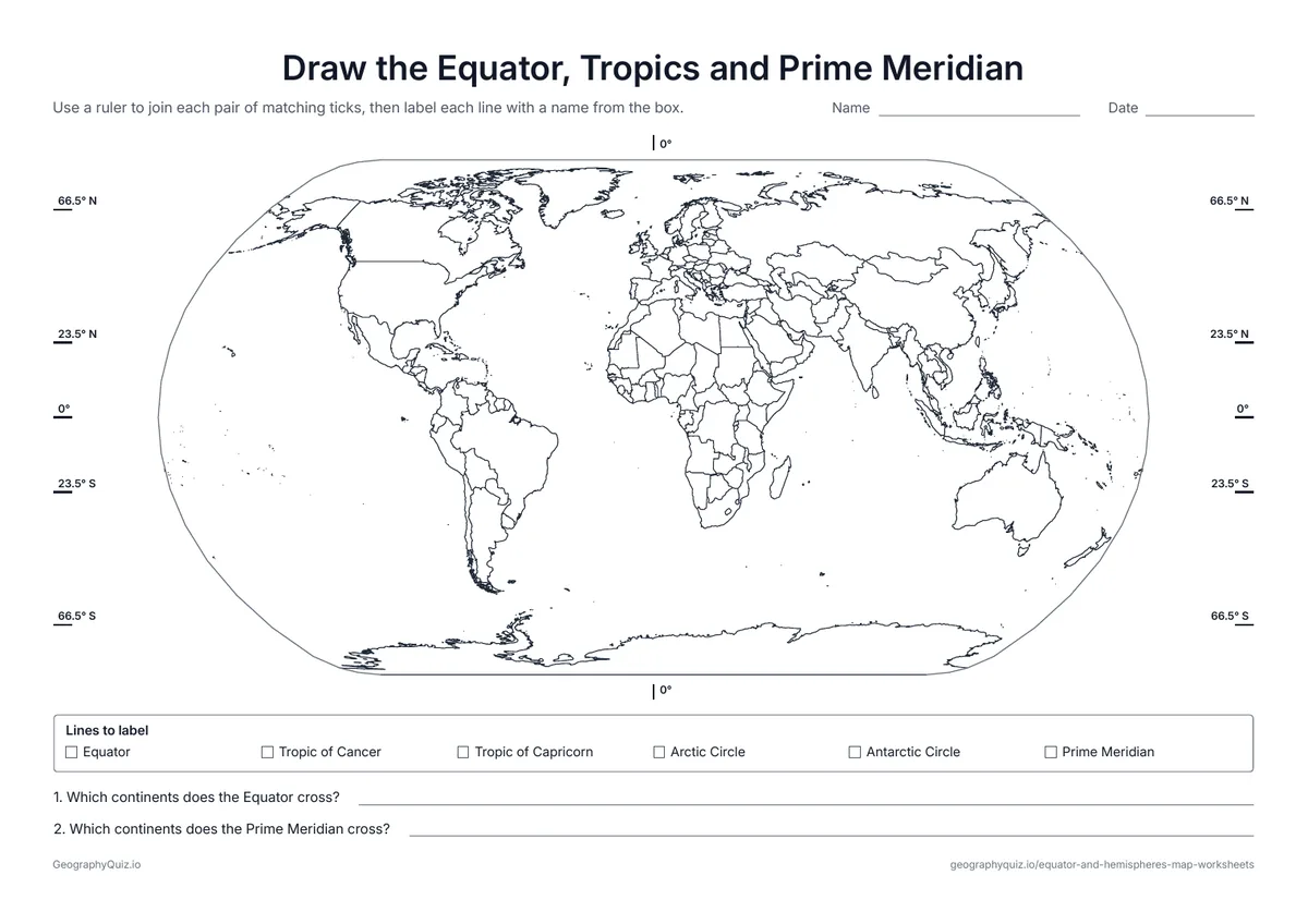
Draw the Equator, Tropics and Prime Meridian
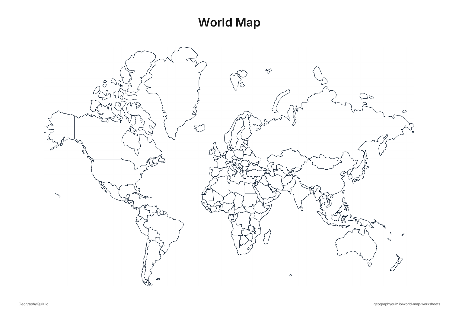
A world map with ticks at 0°, 23.5° and 66.5° north and south, and at the Prime Meridian. Pupils rule and label the six lines.
Free teacher resource
Three world map activities for teaching latitude, longitude and the hemispheres: draw and label the Equator, Tropics, polar circles and Prime Meridian, then colour the Northern and Southern and the Eastern and Western Hemispheres.
Every sheet comes as an A4 and a US Letter PDF.Print it, then play it
A4 landscape · 1 page · Map activity
A world map with ticks at 0°, 23.5° and 66.5° north and south, and at the Prime Meridian. Pupils rule and label the six lines.
A4 landscape · 1 page · Map activity
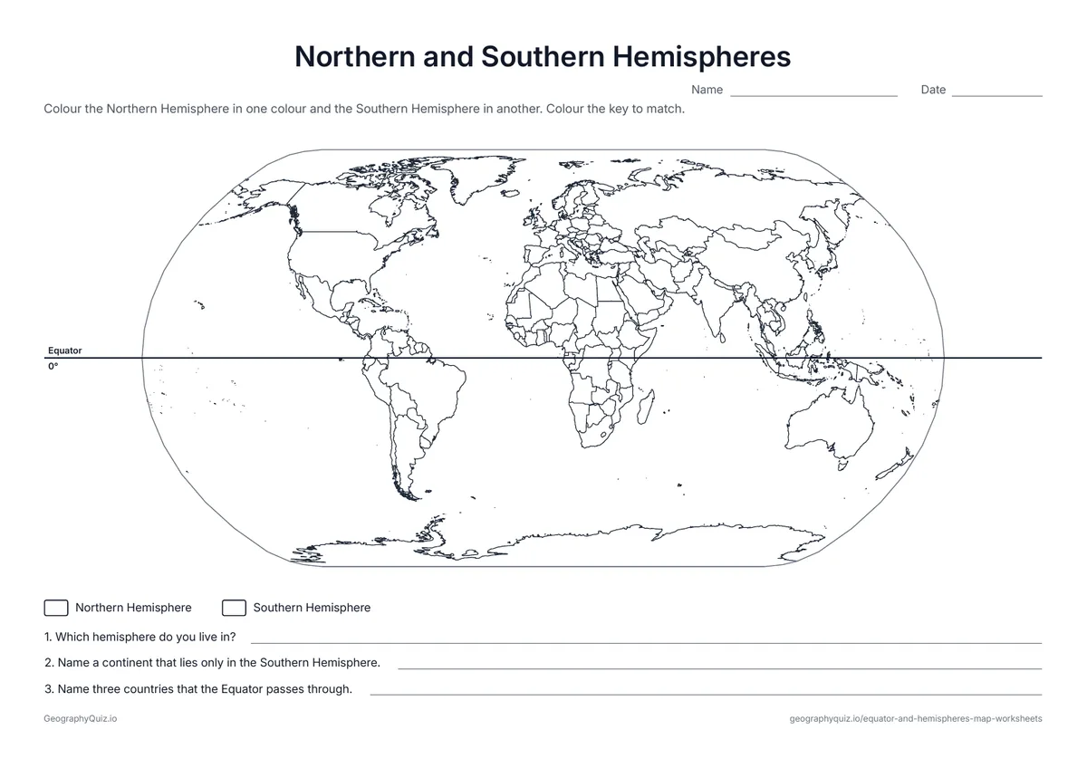
A world map with the Equator drawn in. Pupils colour the two hemispheres and answer three questions.
A4 landscape · 1 page · Map activity
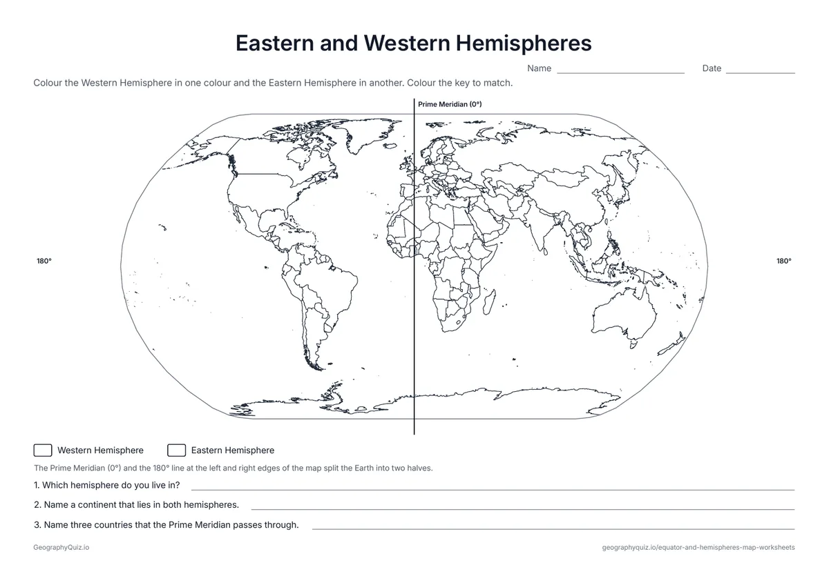
A world map with the Prime Meridian drawn in. Pupils colour the Eastern and Western Hemispheres and answer three questions.
For teachers
On the lines sheet, matching ticks at the edges of the map are marked with their latitude, so pupils join them with a ruler and choose the right name for each line. The hemispheres sheets draw the Equator or the Prime Meridian and finish with short questions.
Each activity has its instructions, a key to colour in and space for pupils' answers printed on the sheet. The maps are crisp black line drawings with no names, so they photocopy cleanly and pupils do the finding themselves.
Print it, then play it