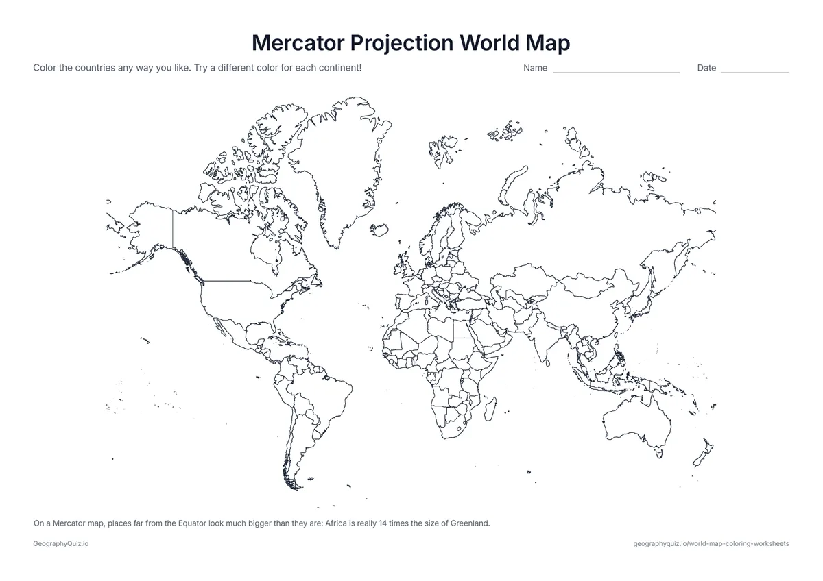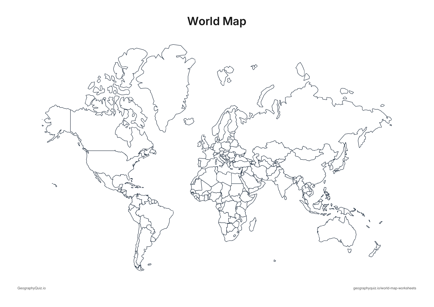
US Letter landscape · 1 page · Map activity
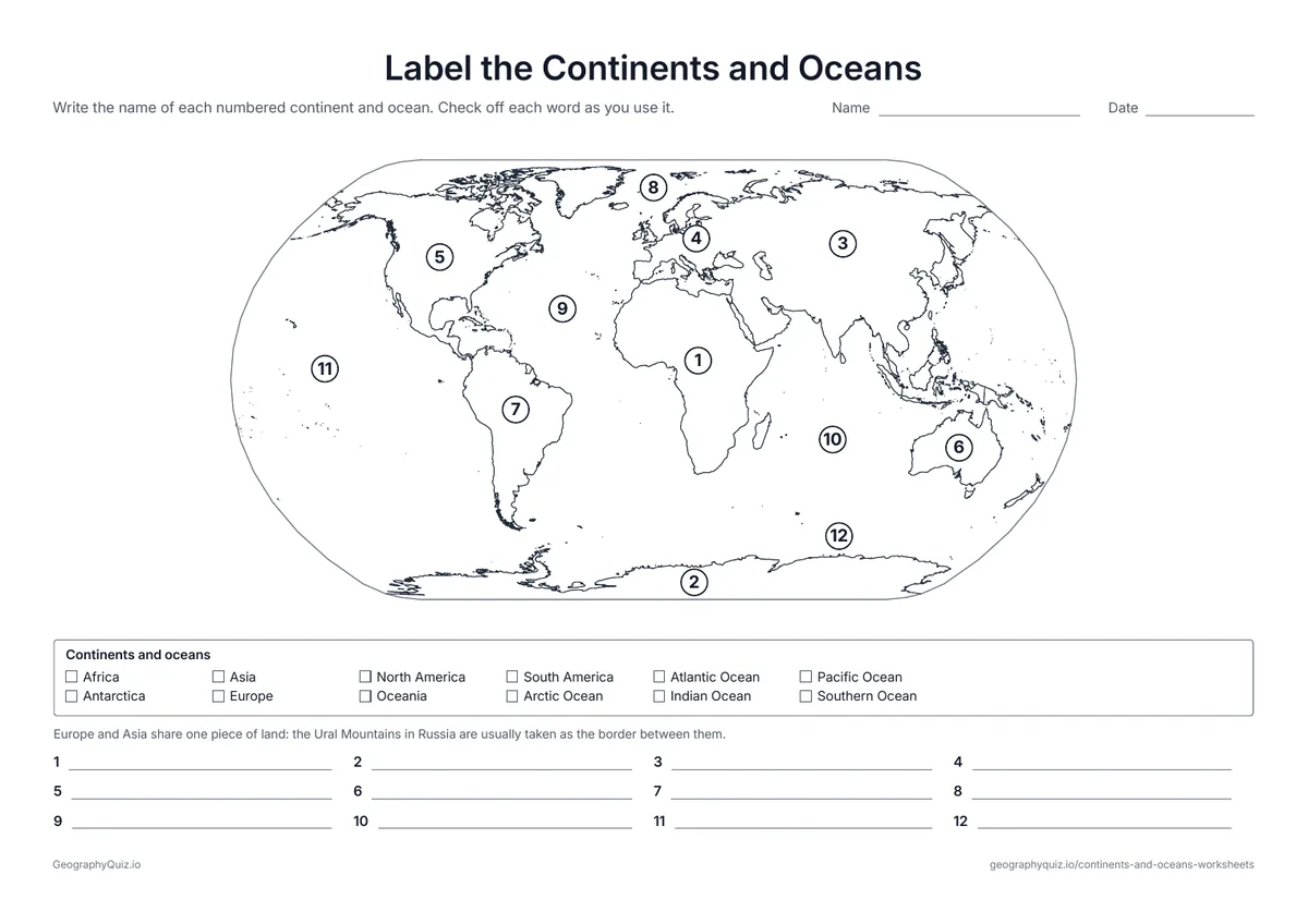
Label the Continents and Oceans
Twelve numbers on a world map. Students write the name of each continent and ocean, using the word bank.
Free teacher resource
Eleven worksheets for learning the seven continents and five oceans: label them with a word bank or from memory, cut out the names and glue them on, label just the continents or just the oceans, color the oceans, answer which-ocean and which-continent questions, use a compass rose, and put them in order of size, plus a labeled map to keep.
Every sheet comes as an A4 and a US Letter PDF.Print it, then play it
US Letter landscape · 1 page · Map activity
Twelve numbers on a world map. Students write the name of each continent and ocean, using the word bank.
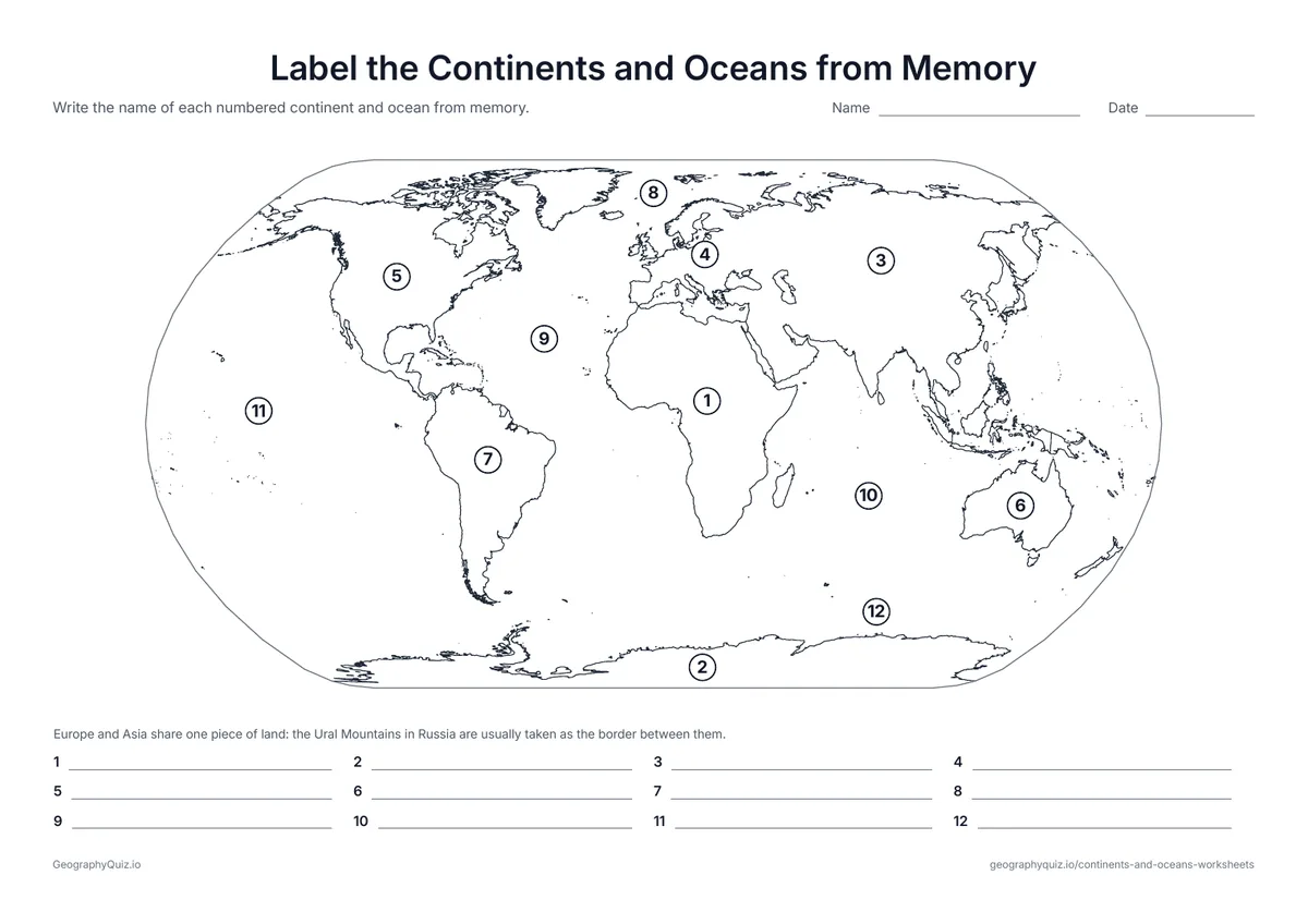
US Letter landscape · 1 page · Map activity
The same twelve numbers with no word bank – a quick check of what students remember.
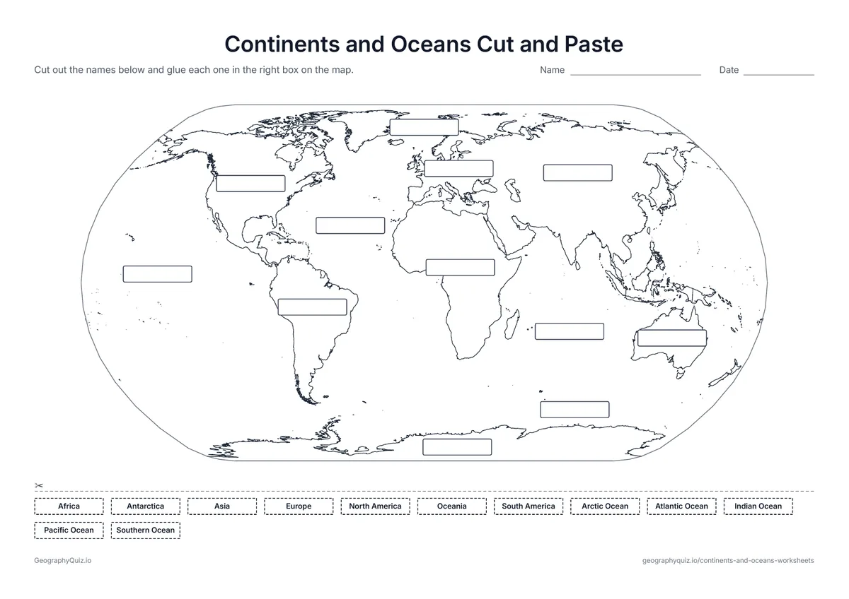
US Letter landscape · 1 page · Map activity
Twelve empty boxes on the map and twelve names to cut out and glue in the right place – a hands-on sheet for young learners.
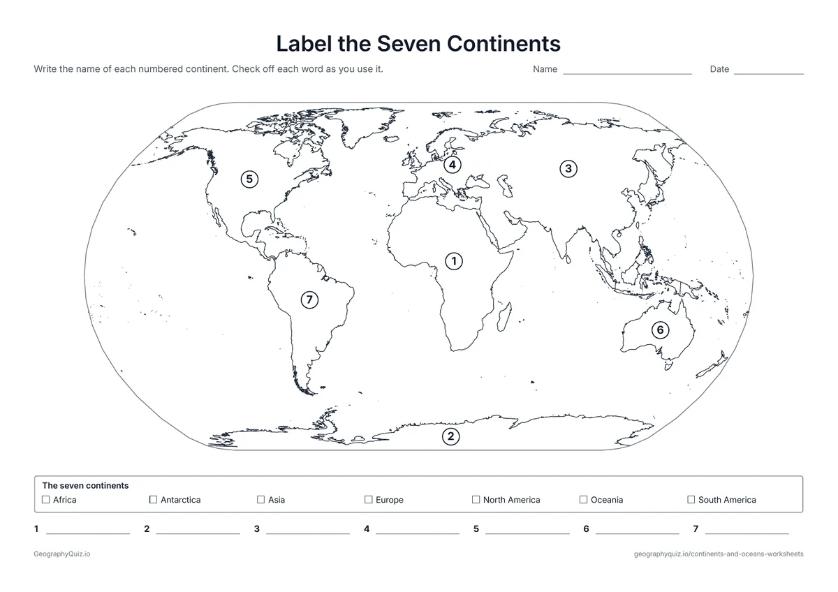
US Letter landscape · 1 page · Map activity
The seven continents numbered on a world map, with a word bank and a writing line for each.
US Letter landscape · 1 page · Map activity
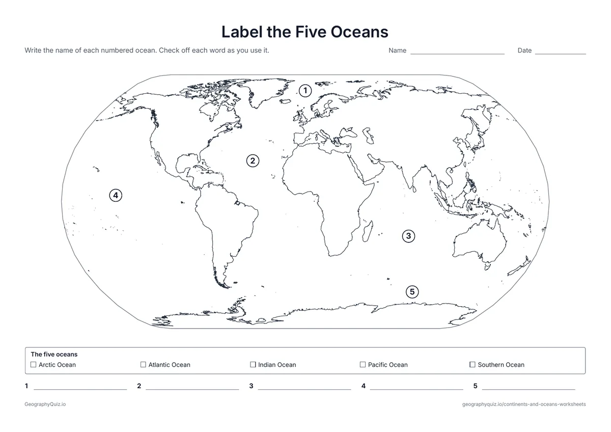
The five oceans numbered on a world map, with a word bank and a writing line for each.
US Letter landscape · 1 page · Map activity
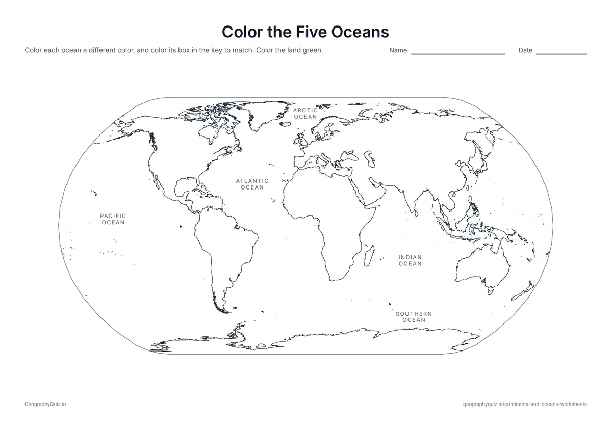
The five oceans are named on the map. Students color each one and its box in the key, and the land green.
US Letter landscape · 1 page · Map activity
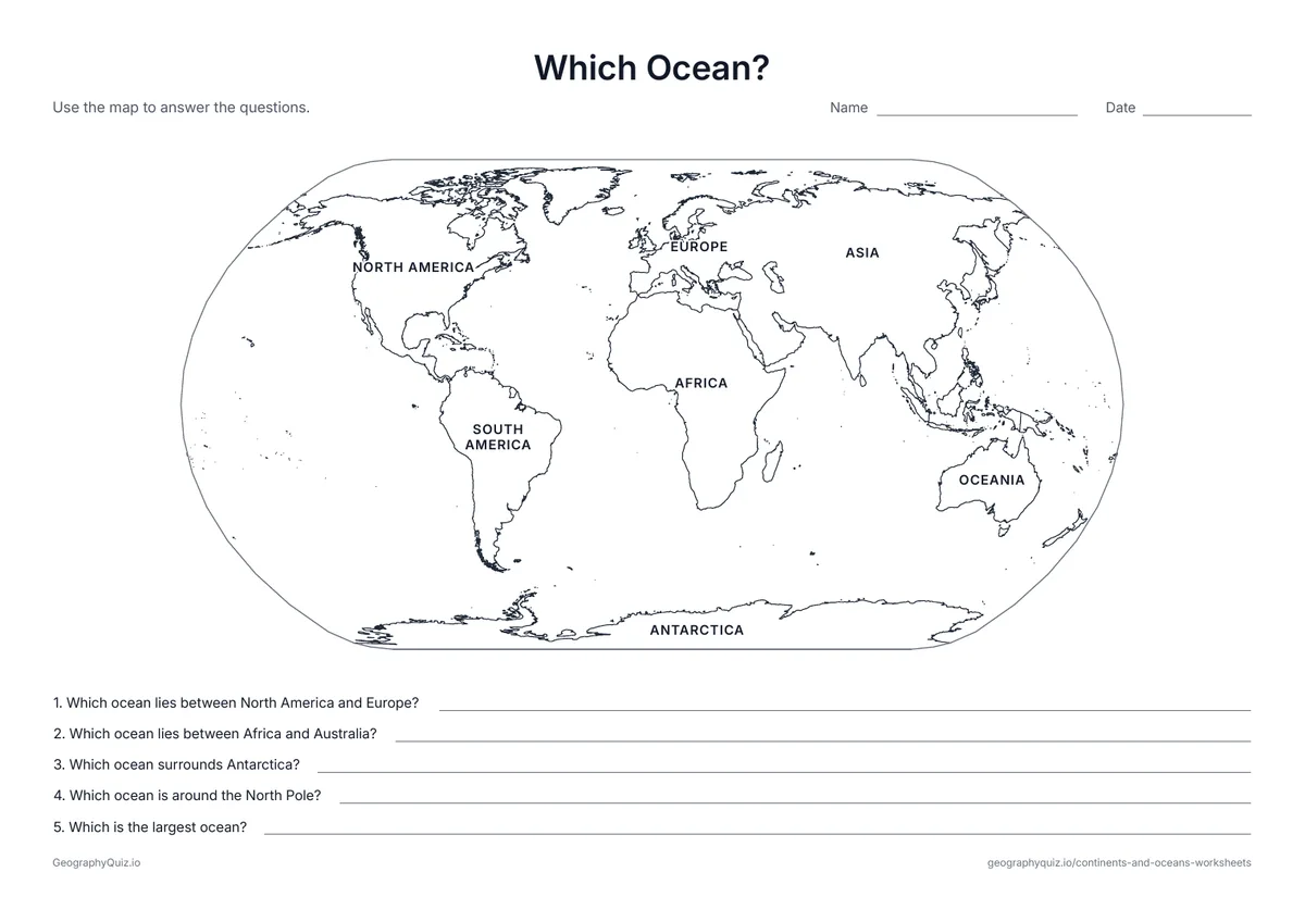
The continents are named on the map. Students answer five questions about which ocean lies where.
US Letter landscape · 1 page · Map activity
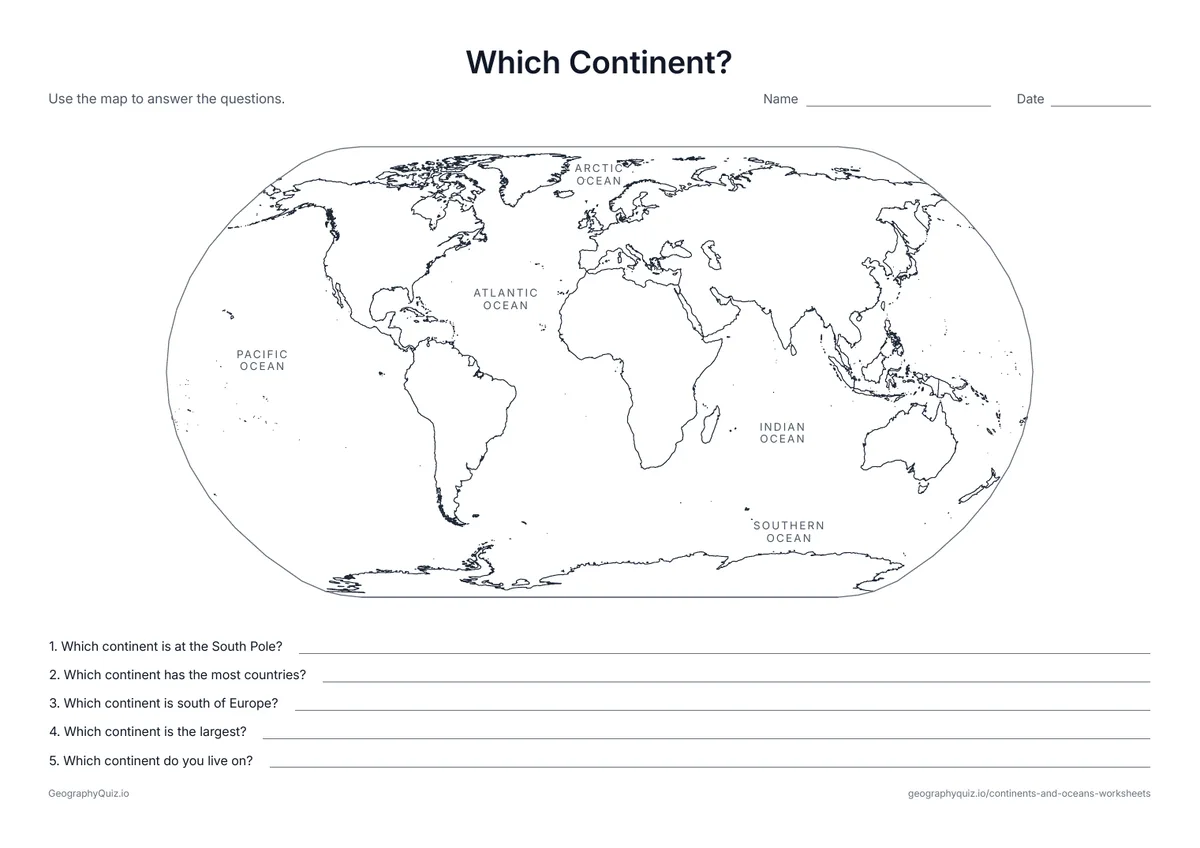
The oceans are named on the map. Students answer five questions about the continents.
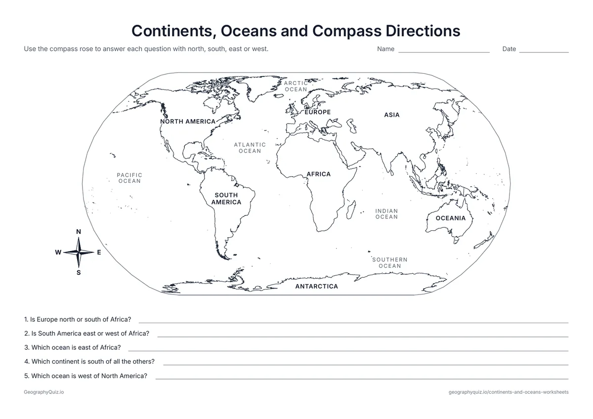
US Letter landscape · 1 page · Map activity
A labeled world map with a compass rose. Students use north, south, east and west to answer five questions.
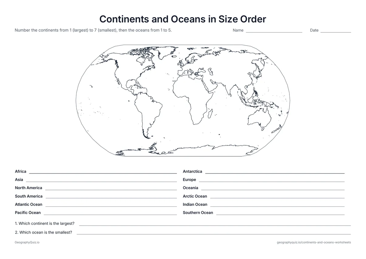
US Letter landscape · 1 page · Map activity
Students number the continents from largest to smallest, then the oceans, and answer two questions.
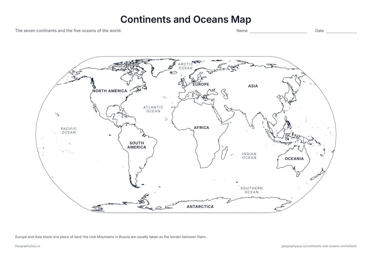
US Letter landscape · 1 page · Map activity
A world map with the seven continents and five oceans named – a reference sheet for teaching and checking work.
For teachers
The sheets go from easiest to hardest: the cut-and-paste and label-the-continents sheets suit kindergarten to grade 2, the which-ocean, compass and size-order sheets grades 2 to 4. Europe and Asia share one landmass, so every map notes that the Ural Mountains are usually taken as the border between them. There are no answer sheets; the labeled map works as a reference.
Each activity has its instructions, a key to colour in and space for pupils' answers printed on the sheet. The maps are crisp black line drawings with no names, so they photocopy cleanly and pupils do the finding themselves.
Introduce the names with the labeled map, then let younger children cut out the names and glue them on. Move on to labeling the continents and the oceans with a word bank, color the oceans, and finish with the which-ocean, which-continent, compass and size-order sheets, which ask students to use what they know.
Most maps today show five oceans: the Pacific, Atlantic, Indian, Southern and Arctic. The Southern Ocean around Antarctica was added by the International Hydrographic Organization in 2000 and has been on National Geographic maps since 2021; older maps show only four.
The cut-and-paste, labeled map and label-the-continents sheets suit kindergarten to grade 2. The oceans, which-ocean and which-continent sheets fit grades 1 to 3, and the compass and size-order sheets suit grades 2 to 4.
The continents are Asia, Africa, North America, South America, Antarctica, Europe and Oceania. The oceans are the Pacific, Atlantic, Indian, Southern and Arctic.
Yes. It is the water around Antarctica, south of about 60°S. Many maps have shown it since 2000, and it is now on most school maps.
Asia is the largest continent and the Pacific is the largest ocean – bigger than all the land on Earth put together.
They are one landmass. By tradition they are counted as two continents, with the border usually drawn along the Ural Mountains in Russia; our maps note this.
Most children learn them between kindergarten and second grade, and review them in grades 3 and 4.
Sing a continents song, color each continent a different color, and practice with the cut-and-paste and label sheets until the word bank isn't needed.
Print it, then play it