US Letter portrait · 1 page · Map activity
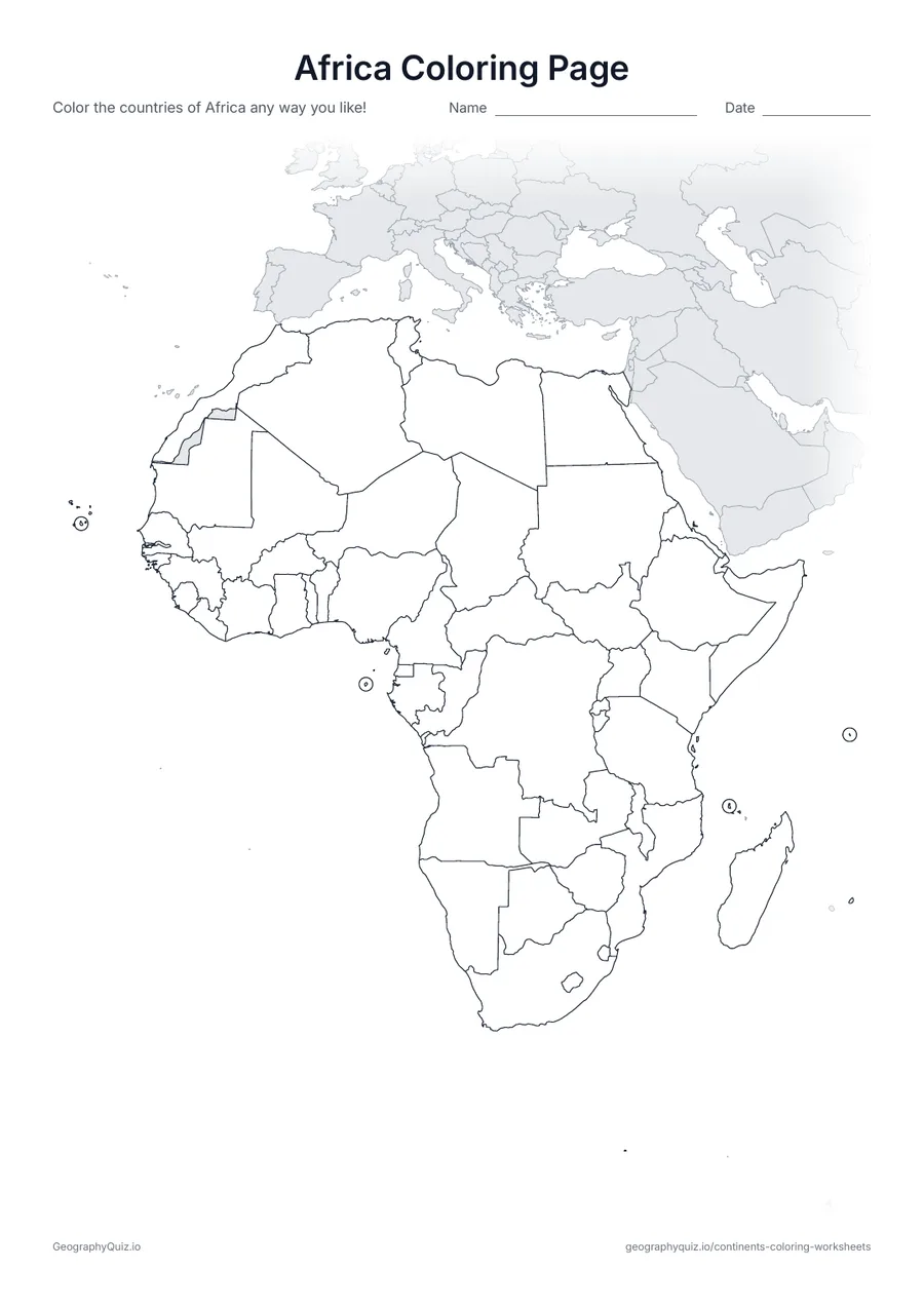
Africa Coloring Page
A map of Africa with all 54 countries outlined, ready to color.
Free teacher resource
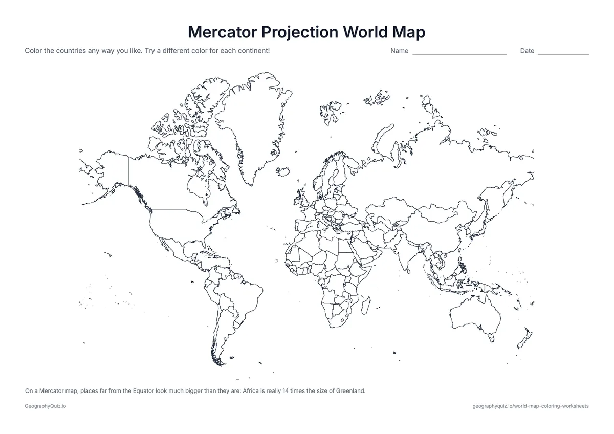
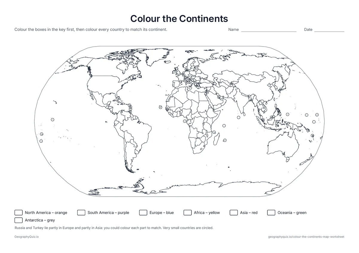
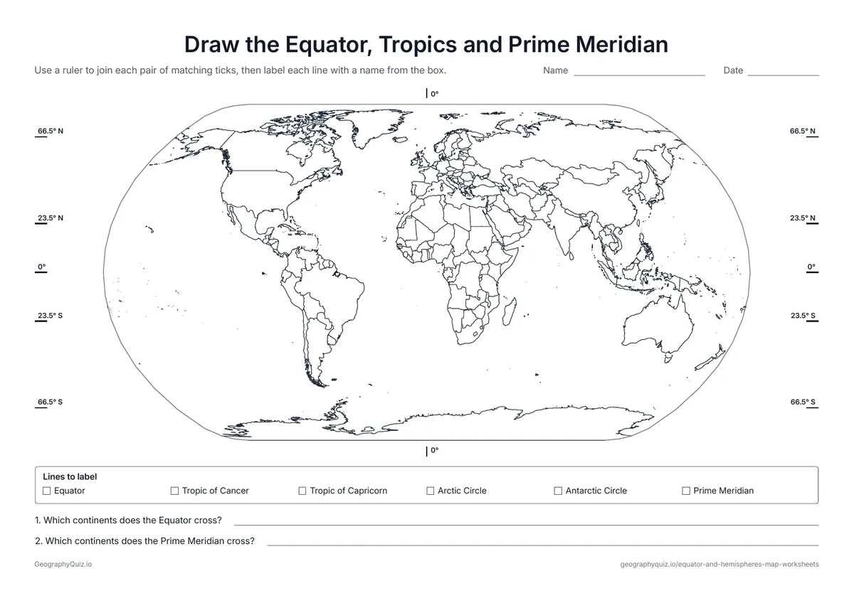
Ten continents coloring pages: one map for each of the seven continents, with every country outlined, then three world map activities – color and name the continents, a continent clues page and a sheet on which continents lie north and south of the Equator.
Every sheet comes as an A4 and a US Letter PDF.Print it, then play it
US Letter portrait · 1 page · Map activity
A map of Africa with all 54 countries outlined, ready to color.
US Letter landscape · 1 page · Map activity
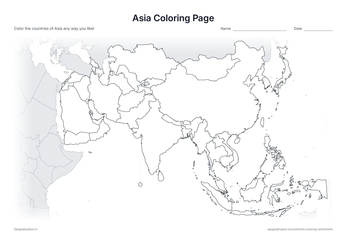
A map of Asia, the largest continent, with every country outlined.
US Letter landscape · 1 page · Map activity
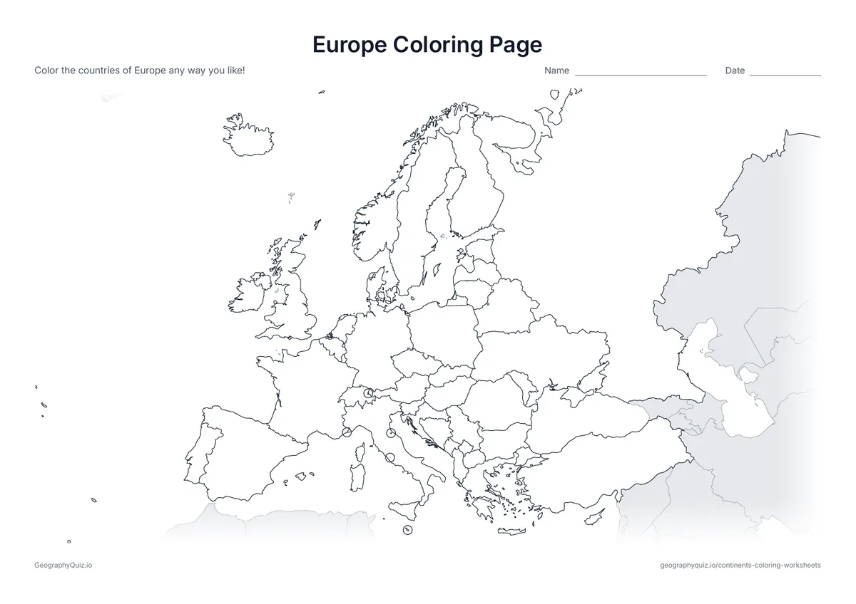
A map of Europe with every country outlined and the smallest countries circled.
US Letter portrait · 1 page · Map activity
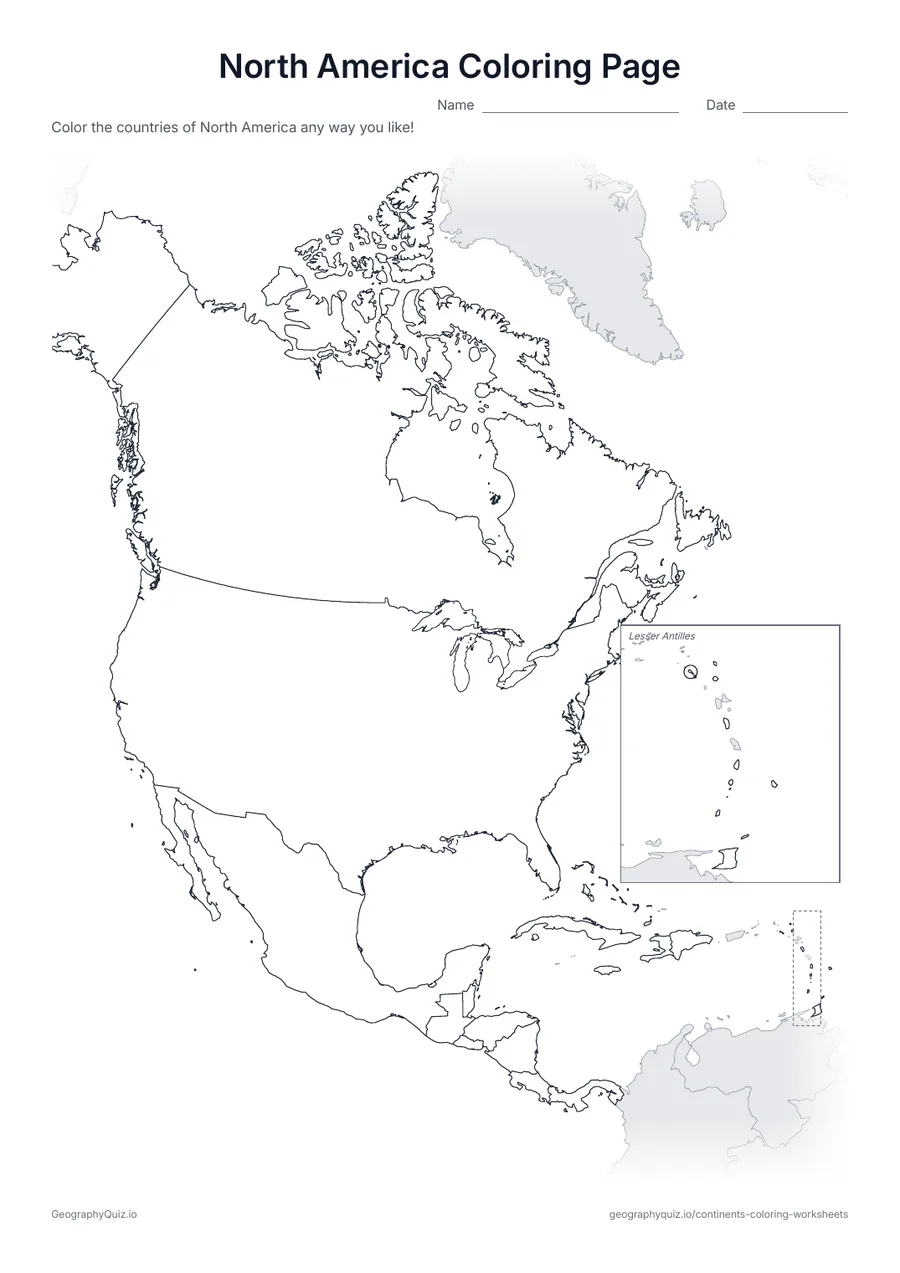
A map of North America, from Canada to Panama and the Caribbean, with every country outlined.
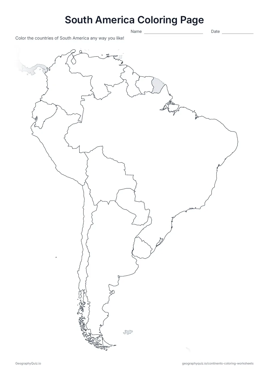
US Letter portrait · 1 page · Map activity
A map of South America with its 12 countries outlined – big shapes that are easy to color.
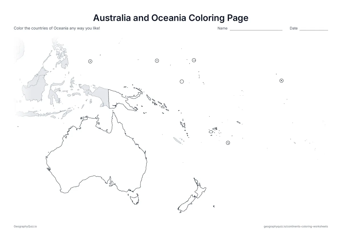
US Letter landscape · 1 page · Map activity
A map of Australia, New Zealand and the Pacific island nations, with the smallest countries circled.
US Letter landscape · 1 page · Map activity
Antarctica seen from above the South Pole: one big icy continent to color.
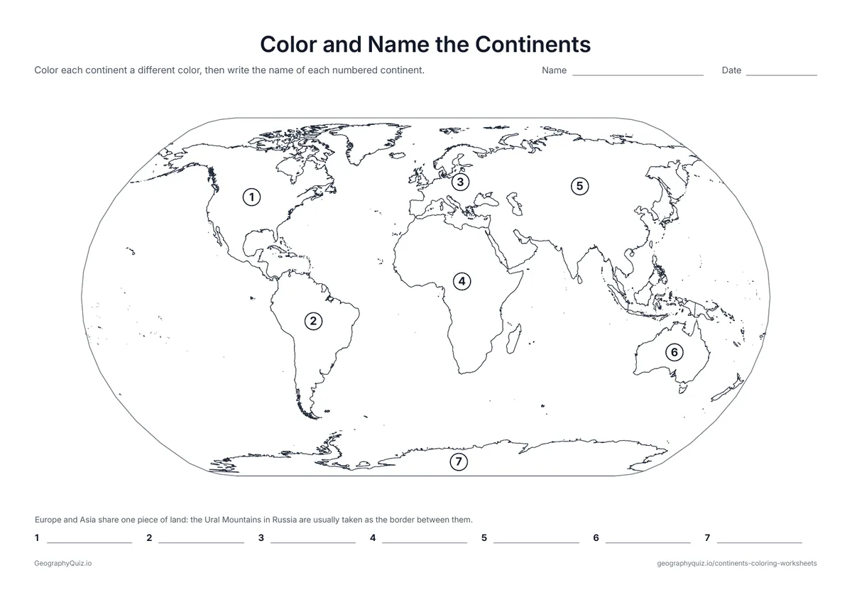
US Letter landscape · 1 page · Map activity
Each continent is numbered. Students color the continents and write each name next to its number.
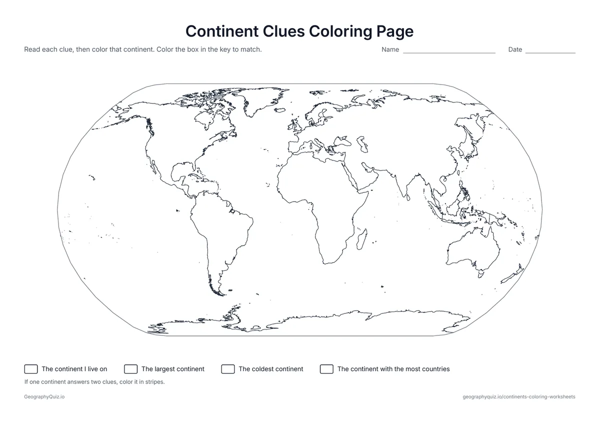
US Letter landscape · 1 page · Map activity
Four clues, such as the coldest continent and the largest one. Students work out each continent and color it.
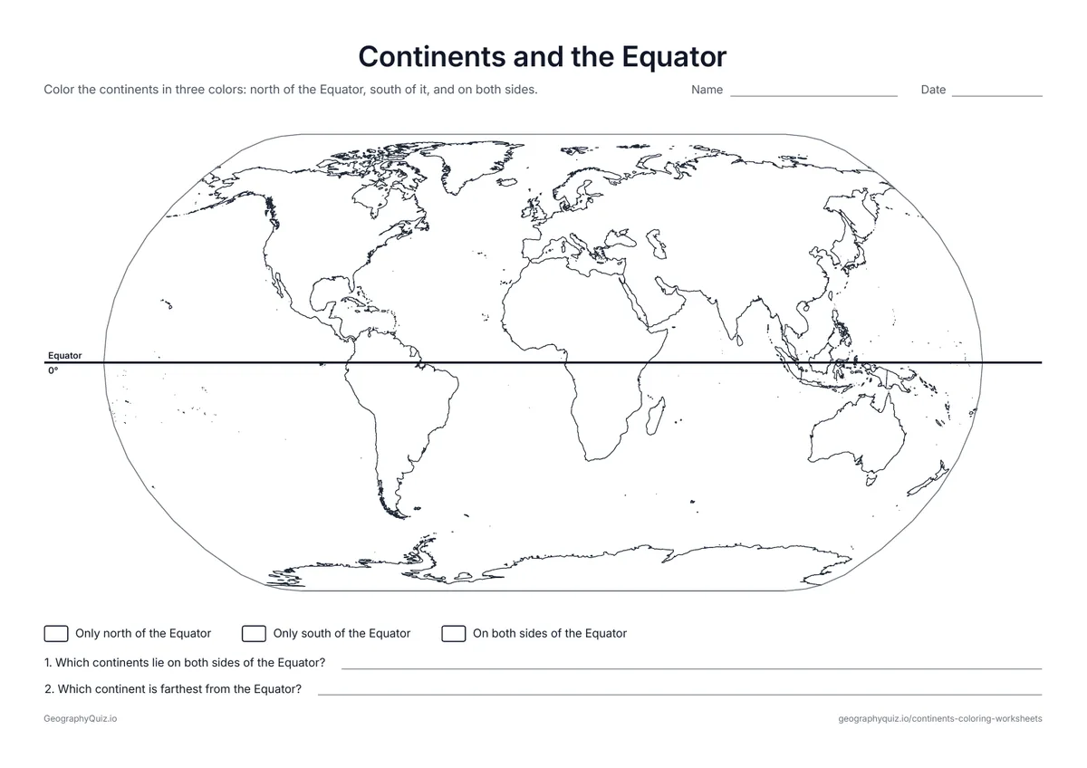
US Letter landscape · 1 page · Map activity
The Equator is drawn across the map. Students color the continents north of it, south of it and on both sides.
For teachers
The continent maps show country borders but no names, so they work as plain coloring pages or as a base for your own labeling task; very small countries are circled so they can still be colored. Pair them with the world map sheets for a unit on the seven continents in grades 1 to 4.
Each activity has its instructions, a key to colour in and space for pupils' answers printed on the sheet. The maps are crisp black line drawings with no names, so they photocopy cleanly and pupils do the finding themselves.
Each of the seven continents has its own page with every country outlined, so children can color one continent at a time or a country at a time. Then use the world map sheets: color and name the continents, solve the continent clues, and sort the continents by which side of the Equator they lie on.
The continent pages suit kindergarten to grade 3 as coloring pages and older students as a base for labeling the countries. The color-and-name, clues and Equator sheets fit grades 1 to 4.
Australia is a country and also the name often given to the continent it sits on. Many schools call the continent Oceania instead, to include New Zealand and the Pacific islands; our pages use Australia and Oceania together.
Asia, Africa, North America, South America, Antarctica, Europe and Oceania (or Australia), in order from largest to smallest.
Both names are used. Australia is the country and the main landmass; Oceania is the wider region that also includes New Zealand and the Pacific island countries.
Some school systems join North and South America into one continent, and others join Europe and Asia into Eurasia. Schools in the United States usually teach seven.
Africa, with 54 countries. Asia and Europe come next.
There is no official color for any continent. Our color-the-continents sheet suggests a key so that a whole class's maps match, but children can choose their own.
Most children learn the names of the seven continents between kindergarten and second grade, often with songs and coloring maps.
Print it, then play it