Interactive map
Southeast Asia Map
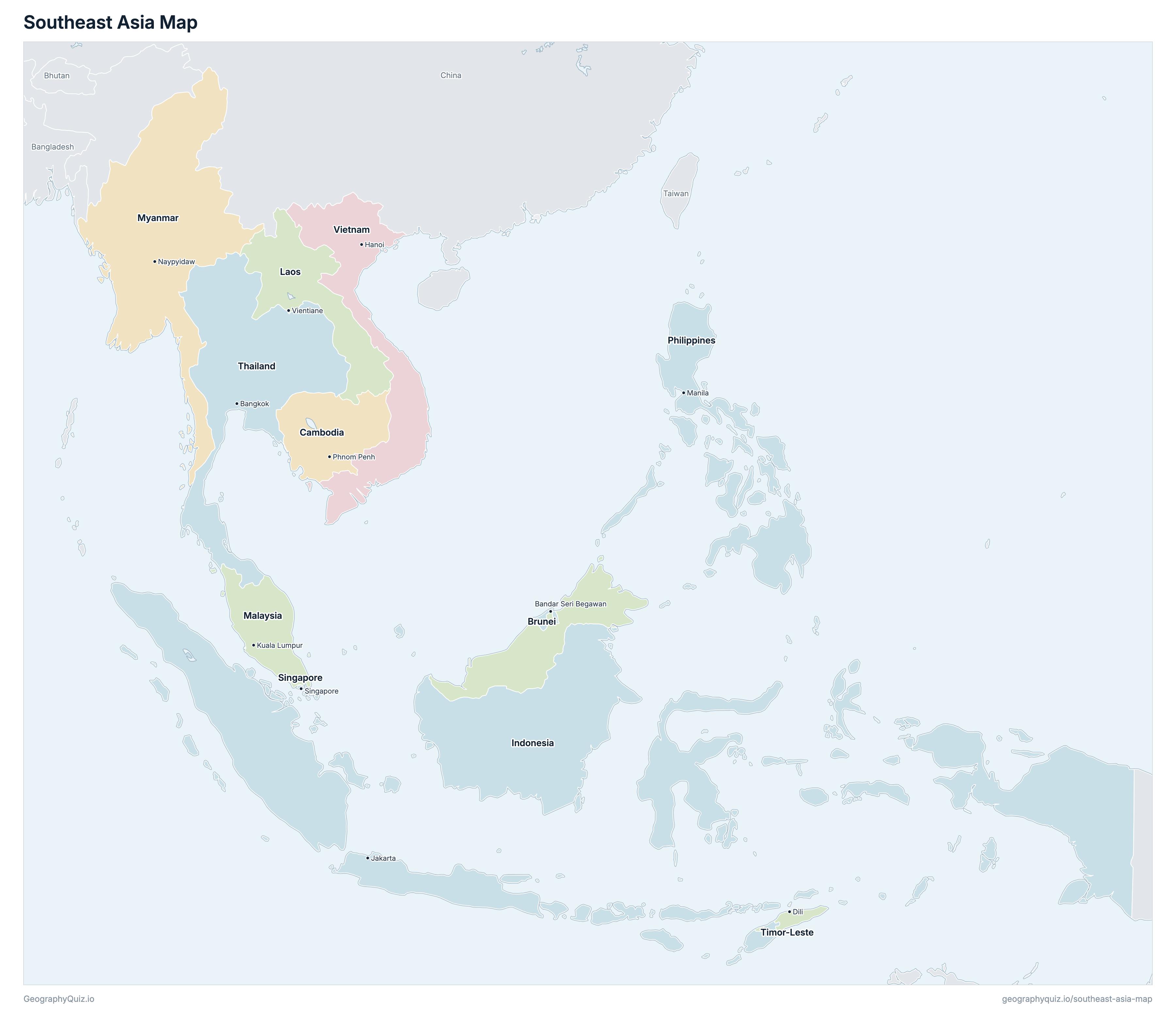
The 11 countries of Southeast Asia on a zoomable map, from Myanmar and Vietnam to Indonesia and the Philippines. Tap or click a country to see its flag, capital, population, area, official languages and currency. Zoom in to see every name, capital, river and mountain: where labels would overlap, some only appear as you get closer.
Loading the map…
Download the map
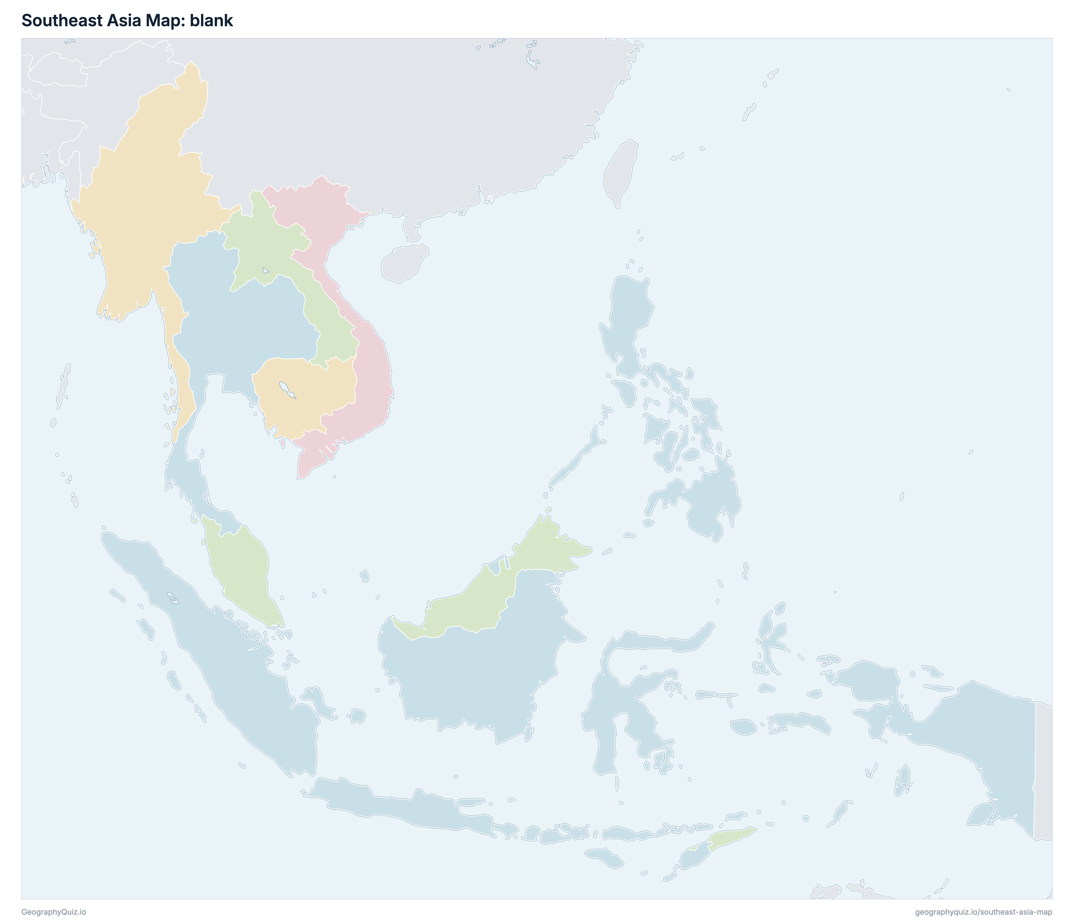
Free to print for your class or your wall: the labelled map in colour, with every capital, or a blank outline map to fill in.
Learn the map of Southeast Asia
About Southeast Asia
Southeast Asia has 11 countries, home to about 704.6 million people across 4,494,517 km² (1,735,342 sq mi).
The largest country by area is Indonesia, at 1,904,569 km², about 42% of the total; the smallest is Singapore, at 719 km².
Indonesia has the most people, about 283.6 million (40% of the total), and Brunei the fewest, about 491,900. The most densely populated is Singapore, with about 8,457 people per km².
1 of the 11 countries is landlocked: Laos.
Countries of Southeast Asia and their capitals
All 11 countries, with each capital, population and area. Sort by any column, or select a name to show it on the map.
| Bandar Seri Begawan | 491,900 | 5,765 | |
| Phnom Penh | 17,230,333 | 181,035 | |
| Jakarta | 283,587,097 | 1,904,569 | |
| Vientiane | 7,953,556 | 236,800 | |
| Kuala Lumpur | 34,905,275 | 329,847 | |
| Naypyidaw | 57,931,718 | 676,578 | |
| Manila | 118,277,063 | 300,000 | |
| Singapore | 6,080,545 | 719 | |
| Bangkok | 70,025,248 | 513,120 | |
| Dili | 1,404,785 | 14,874 | |
| Hanoi | 106,688,169 | 331,210 |
The 11 countries of South-eastern Asia in the United Nations geoscheme (M49), as in our Southeast Asia quizzes: Brunei, Cambodia, Indonesia, Laos, Malaysia, Myanmar, the Philippines, Singapore, Thailand, Timor-Leste and Vietnam. Papua New Guinea, on the eastern half of New Guinea, is in Oceania.
Sources
- Capitals and official languages: national constitutions and government sources.
- Currencies: the ISO 4217 currency list and national central banks, checked October 2026.
- Borders, coastlines, rivers and mountains: official sources. Disputed borders are shown as they are commonly drawn, which is not an endorsement of any claim.
- Population and area: CIA World Factbook (2024 and 2025 estimates; total area including inland water), which capitals and languages were also checked against.