Interactive map
Ecuador Map
Every province, city and town in Ecuador on one zoomable map, with its main highways, rivers and lakes. Switch on towns and provinces above the map and zoom in for every name; tap a province to see its population, area and largest towns.
Loading the map…
Printable maps of Ecuador
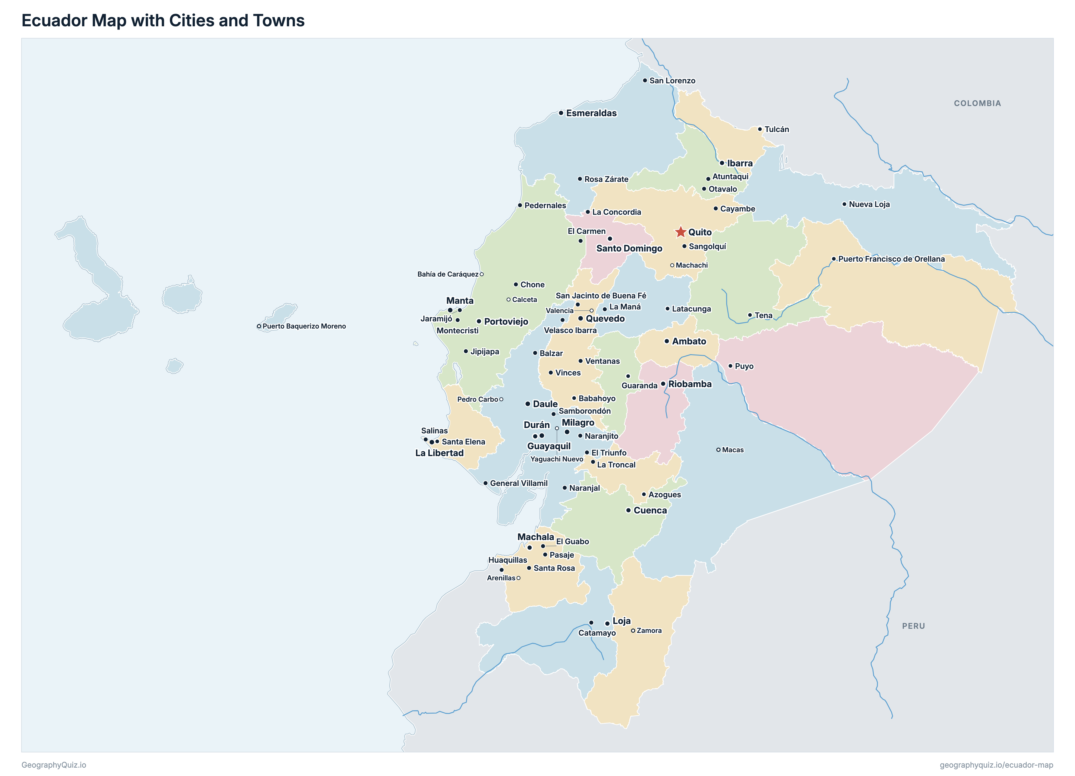
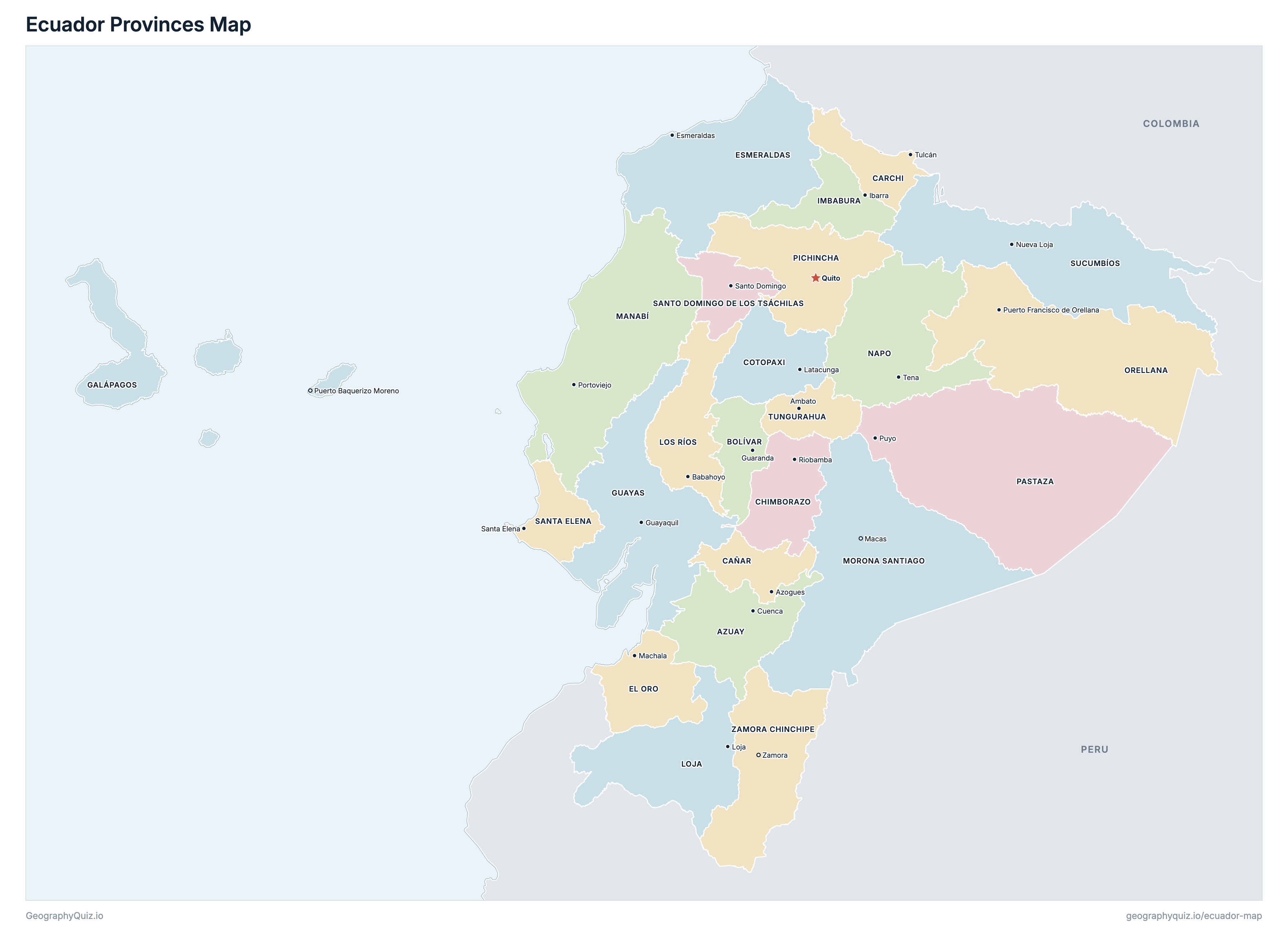
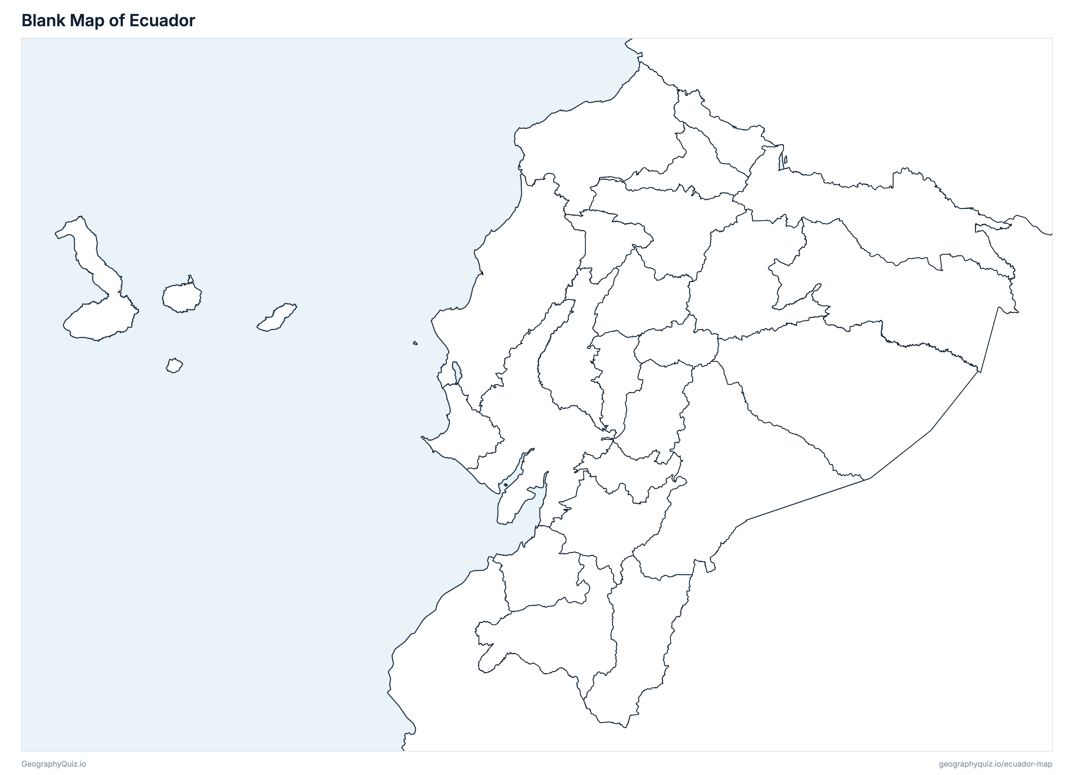
Free to print for class and home: Ecuador with its cities and towns, a map of its provinces, and a blank outline map. PDFs fit one A4 or US Letter page.
Ecuador map with cities
Ecuador provinces map
Key facts
- Capital
- Quito
- Largest city
- Guayaquil (2,650,288)
- Population
- 16,938,986 (2022)
- Area
- 257,204 km² (99,307 sq mi)
- Provinces of Ecuador
- 24
- Most populous province
- Guayas (4,391,923)
- Largest province by area
- Pastaza, 29,647 km² (11,447 sq mi)
About Ecuador
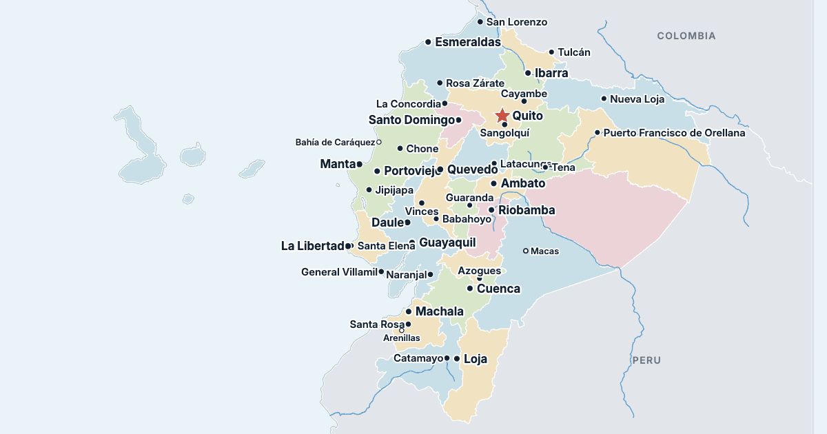
Ecuador has 24 provinces and about 16,938,986 people (2022) on 257,204 km² (99,307 sq mi). The capital is Quito; the largest city is Guayaquil, with 2,650,288 people. It borders Colombia and Peru.
Guayas is the most populous province (4,391,923 people) and Galápagos the least (28,583); Pastaza is the largest by area (29,647 km²) and Tungurahua the smallest (3,386 km²).
Largest cities in Ecuador
The 25 most populous cities and towns. All 68 are on the map above: switch on Towns and zoom in to see them.
| # | City | Province | Population |
|---|---|---|---|
| 1 | Guayaquil | Guayas | 2,650,288 |
| 2 | Quito | Pichincha | 1,763,275 |
| 3 | Cuenca | Azuay | 361,524 |
| 4 | Santo Domingo | Santo Domingo de los Tsáchilas | 334,826 |
| 5 | Durán | Guayas | 295,211 |
| 6 | Machala | El Oro | 288,072 |
| 7 | Manta | Manabí | 258,697 |
| 8 | Portoviejo | Manabí | 244,129 |
| 9 | Loja | Loja | 203,496 |
| 10 | Quevedo | Los Ríos | 177,792 |
| 11 | Ambato | Tungurahua | 177,316 |
| 12 | Riobamba | Chimborazo | 177,213 |
| 13 | Daule | Guayas | 161,498 |
| 14 | Milagro | Guayas | 159,970 |
| 15 | Ibarra | Imbabura | 157,941 |
| 16 | Esmeraldas | Esmeraldas | 155,487 |
| 17 | La Libertad | Santa Elena | 112,154 |
| 18 | Babahoyo | Los Ríos | 98,251 |
| 19 | Sangolquí | Pichincha | 96,647 |
| 20 | Latacunga | Cotopaxi | 77,267 |
| 21 | Samborondón | Guayas | 72,425 |
| 22 | Montecristi | Manabí | 71,066 |
| 23 | Pasaje | El Oro | 60,147 |
| 24 | Santa Rosa | El Oro | 56,842 |
| 25 | Tulcán | Carchi | 56,719 |
Populations are those of the 2022 census (VIII Censo de Población, INEC). A town's figure is the urban population of the canton whose seat it is (Quito's is the urban part of the Metropolitan District of Quito). Areas are INEC's. The Galápagos Islands, some 1,000 km west of the mainland, are shown at their true scale in an inset off the coast.
Provinces of Ecuador
All 24 provinces. Select one to show it on the map.
| Cuenca | 801,609 | 8,173 | |
| Guaranda | 199,078 | 3,957 | |
| Azogues | 227,578 | 3,647 | |
| Tulcán | 172,828 | 3,783 | |
| Riobamba | 471,933 | 6,116 | |
| Latacunga | 470,210 | 6,188 | |
| Machala | 714,592 | 5,870 | |
| Esmeraldas | 553,900 | 15,836 | |
| Puerto Baquerizo Moreno | 28,583 | 8,233 | |
| Guayaquil | 4,391,923 | 15,900 | |
| Ibarra | 469,879 | 4,791 | |
| Loja | 485,421 | 11,064 | |
| Babahoyo | 898,652 | 7,238 | |
| Portoviejo | 1,592,840 | 19,517 | |
| Macas | 192,508 | 24,004 | |
| Tena | 131,675 | 12,542 | |
| Puerto Francisco de Orellana | 182,166 | 21,729 | |
| Puyo | 111,915 | 29,647 | |
| Quito | 3,089,473 | 9,453 | |
| Santa Elena | 385,735 | 3,688 | |
| Santo Domingo | 492,969 | 3,780 | |
| Nueva Loja | 199,014 | 18,098 | |
| Ambato | 563,532 | 3,386 | |
| Zamora | 110,973 | 10,565 |
Quizzes and worksheets
Sources
- Populations and areas: Instituto Nacional de Estadística y Censos (INEC), VIII Censo de Población y VII de Vivienda 2022: population by province and canton, urban and rural, and area by province (censoecuador.gob.ec).
- Provinces and cantons: INEC boundaries, as published by UN OCHA on the Humanitarian Data Exchange (cod-ab-ecu, CC BY-IGO).
- Cantonal seats: INEC, Clasificador Geográfico Estadístico 2026 (ecuadorencifras.gob.ec).