For teachers
How the Central America and Caribbean worksheets work
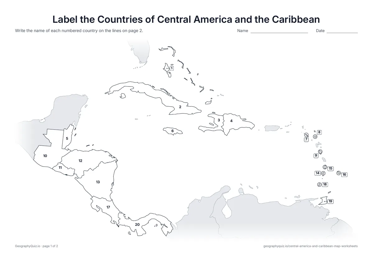
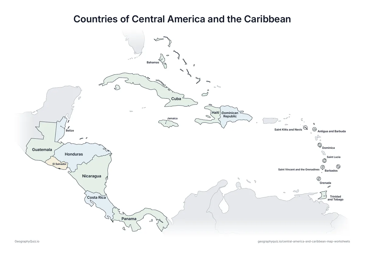
The small island nations of the Lesser Antilles are numbered with leader lines out in the Atlantic. Territories such as Puerto Rico and the French islands are shaded grey.
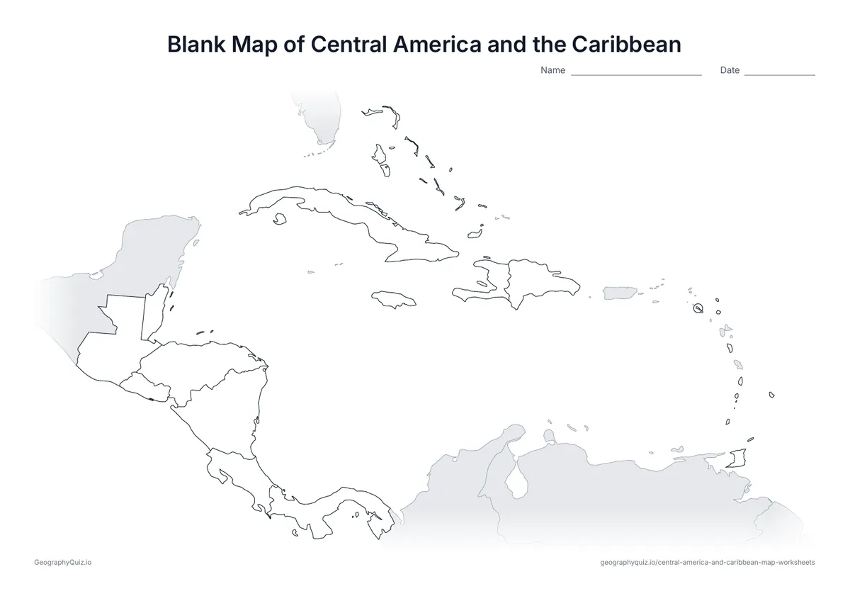
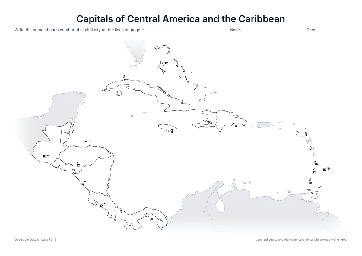
On the label-it and capitals sheets, pupils write the names on the numbered lines – or, where there are ten places or fewer, in the empty answer box joined to each place; the labelled map doubles as a reference sheet. All sheets are crisp black line maps with light shading, so they photocopy and print cleanly in black and white.