Interactive map
Balkans Map
The 11 countries of the Balkans on a zoomable map, from Slovenia and Romania to Greece. Tap or click a country to see its flag, capital, population, area, official languages and currency. Zoom in to see every name, capital, river and mountain: where labels would overlap, some only appear as you get closer.
Loading the map…
Download the map
Free to print for your class or your wall: the labelled map in colour, with every capital, or a blank outline map to fill in.
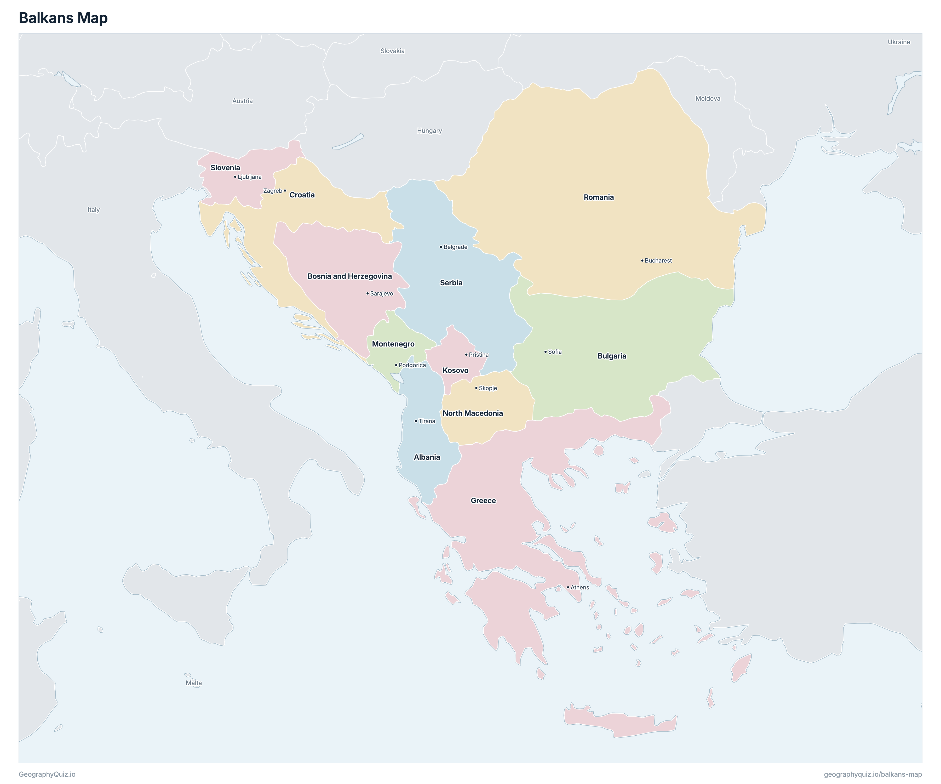
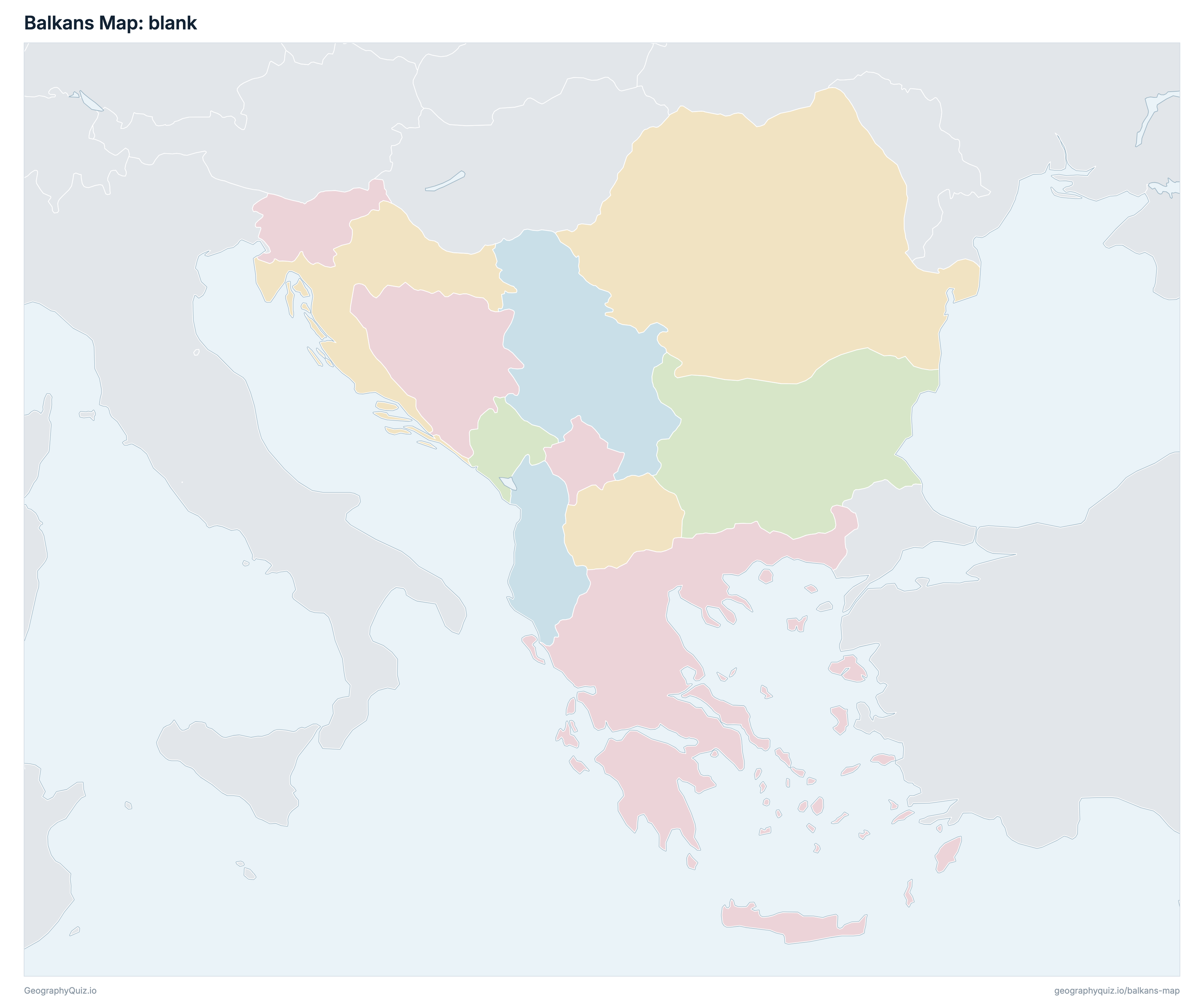
Learn the map of the Balkans
About the Balkans
The Balkans has 11 countries, home to about 59.1 million people across 765,925 km² (295,725 sq mi).
The largest country by area is Romania, at 238,391 km², about 31% of the total; the smallest is Kosovo, at 10,887 km².
Romania has the most people, about 18.1 million (31% of the total), and Montenegro the fewest, about 599,849. The most densely populated is Kosovo, with about 182 people per km².
3 of the 11 countries are landlocked: Kosovo, North Macedonia and Serbia.
Countries of the Balkans and their capitals
All 11 countries, with each capital, population and area. Sort by any column, or select a name to show it on the map.
| Tirana | 2,551,837 | 28,748 | |
| Sarajevo | 3,653,499 | 51,197 | |
| Sofia | 6,737,997 | 110,879 | |
| Zagreb | 4,071,208 | 56,594 | |
| Athens | 10,424,536 | 131,957 | |
| Pristina | 1,977,093 | 10,887 | |
| Podgorica | 599,849 | 13,812 | |
| Skopje | 2,137,556 | 25,713 | |
| Bucharest | 18,148,155 | 238,391 | |
| Belgrade | 6,652,212 | 77,474 | |
| Ljubljana | 2,097,893 | 20,273 |
There is no single definition of the Balkans. We count the 11 countries of our Balkans map worksheets: Albania, Bosnia and Herzegovina, Bulgaria, Croatia, Greece, Kosovo, Montenegro, North Macedonia, Romania, Serbia and Slovenia. Turkey, whose small European part lies on the Balkan Peninsula, is shown as a neighbour.
Sources
- Capitals and official languages: national constitutions and government sources.
- Currencies: the ISO 4217 currency list and national central banks, checked October 2026.
- Borders, coastlines, rivers and mountains: official sources. Disputed borders are shown as they are commonly drawn, which is not an endorsement of any claim.
- Population and area: CIA World Factbook (2024 and 2025 estimates; total area including inland water), which capitals and languages were also checked against.