US Letter portrait · 1 page · Map activity
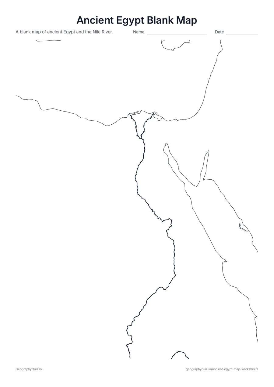
Ancient Egypt Blank Map
Egypt, the Sinai and the Nile River with no names – ready for your own activity.
Free teacher resource
Six map worksheets for a unit on ancient Egypt: a blank map with the Nile River, a labeled map of Alexandria, Giza, Thebes, Abu Simbel and other places, sheets for labeling the places and the seas and regions, a page of map questions, and a coloring page about life along the Nile.
Every sheet comes as an A4 and a US Letter PDF.Print it, then play it
US Letter portrait · 1 page · Map activity
Egypt, the Sinai and the Nile River with no names – ready for your own activity.
US Letter portrait · 1 page · Map activity
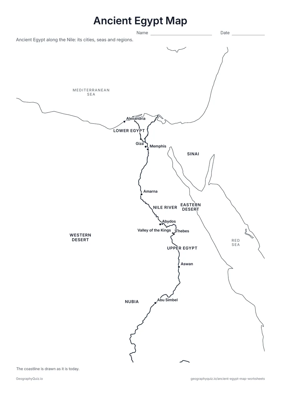
Alexandria, Giza, Memphis, Thebes, the Valley of the Kings, Abu Simbel and more, with the seas, the Nile and Upper and Lower Egypt named.
US Letter portrait · 1 page · Map activity
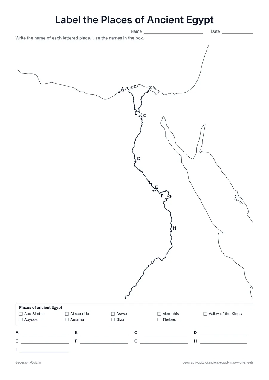
Nine lettered places along the Nile, from Alexandria to Abu Simbel. Students name each one using the word bank.
US Letter portrait · 1 page · Map activity
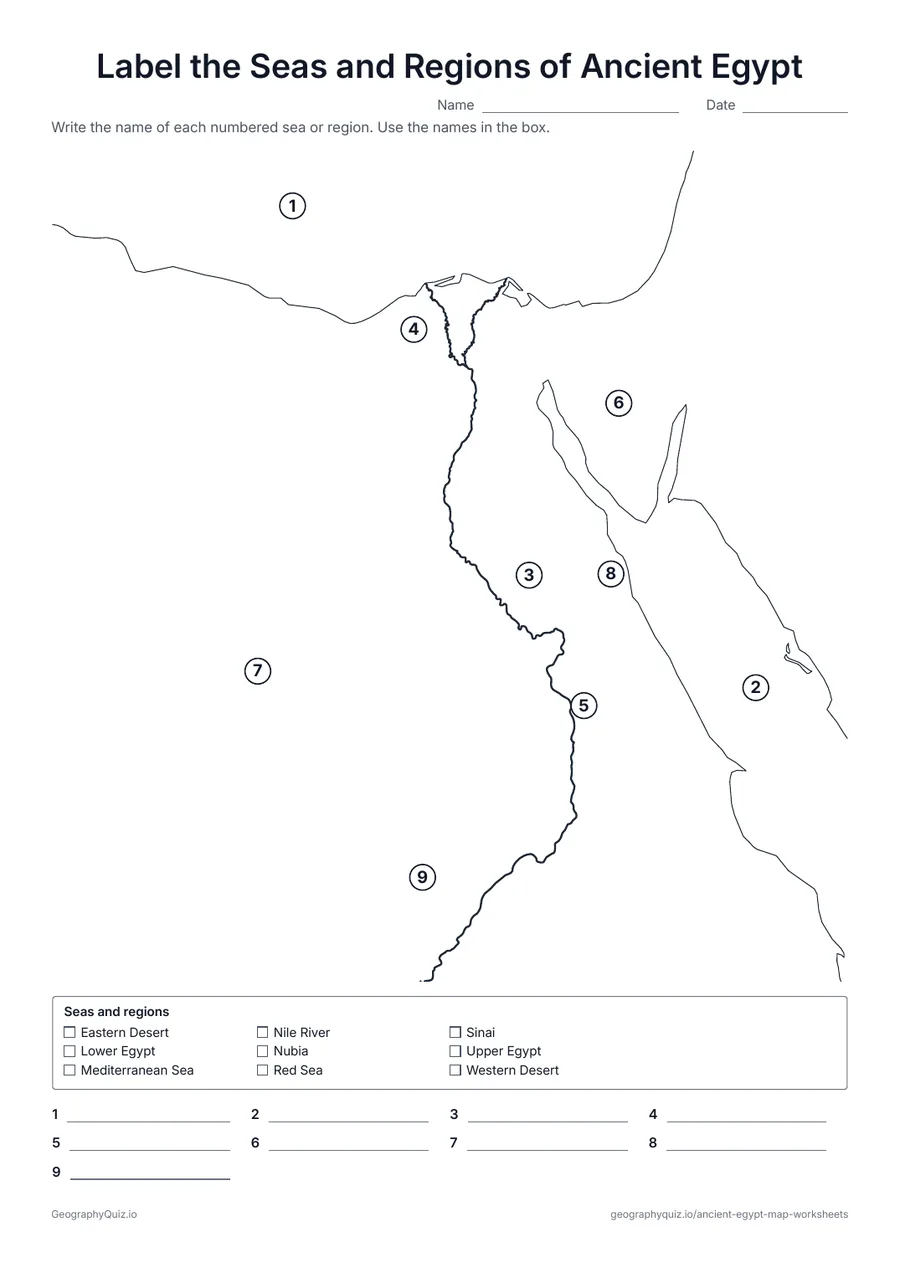
Students name the Mediterranean and Red Seas, the Nile, Upper and Lower Egypt, the Sinai, the Western and Eastern Deserts and Nubia.
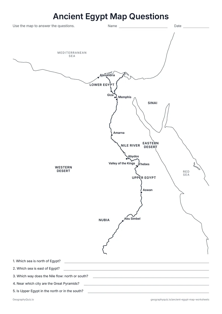
US Letter portrait · 1 page · Map activity
A labeled map and five questions about the seas, the Nile, the pyramids and Upper and Lower Egypt.
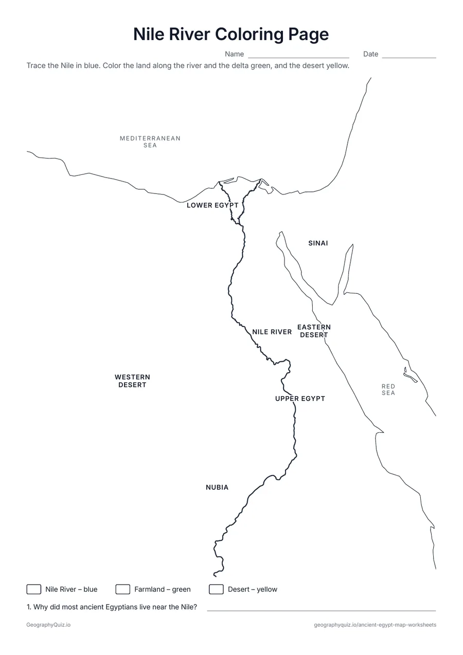
US Letter portrait · 1 page · Map activity
Students trace the Nile in blue, color the farmland along it green and the desert yellow, then explain why Egyptians lived near the river.
For teachers
Every map shows the Nile from Abu Simbel to the delta, with the coastline as it is today and no modern borders. Upper Egypt is in the south and Lower Egypt in the north, because the Nile flows north – a good first question for students. There are no answer sheets: the labeled map works for checking.
Each activity has its instructions, a key to colour in and space for pupils' answers printed on the sheet. The maps are crisp black line drawings with no names, so they photocopy cleanly and pupils do the finding themselves.
Start with the labeled map and trace the Nile from Abu Simbel to the delta. Then use the labeling sheets for the places and the seas and regions, and the map questions to check understanding. The Nile coloring page shows students the narrow green strip of farmland in the desert and asks why almost every Egyptian lived beside the river.
The Nile flows north, from the south of Egypt to the Mediterranean Sea. Upriver, in the south, is Upper Egypt; downriver, in the north and around the delta, is Lower Egypt. It is a good first question to ask students before they label the map.
The maps put places from three thousand years of history together. Memphis and the pyramids of Giza belong to the Old Kingdom, Thebes and the Valley of the Kings to the New Kingdom, and Alexandria was founded by Alexander the Great in 331 BC. The coastline is drawn as it is today, without Lake Nasser, the modern lake behind the Aswan High Dam.
Ancient Egypt is most often taught in sixth grade world history, and in earlier grades as a unit on its own. The labeled map, blank map and Nile coloring page suit grades 2 to 6; the labeling sheets and map questions suit grades 4 to 7.
Each summer the Nile flooded and left rich black soil on its banks, so farmers could grow wheat and barley in the middle of the desert. The river was also the main road for boats.
North. It flows from the south of Egypt to the Mediterranean Sea, which is why Upper Egypt is in the south.
The wide, flat, fan-shaped land where the Nile splits into branches before reaching the Mediterranean Sea. It was the heart of Lower Egypt.
On the west bank of the Nile, at the edge of the desert near modern Cairo and the ancient capital Memphis.
It changed over time. Memphis was the capital of the Old Kingdom, Thebes of the New Kingdom, Amarna for a short time under Akhenaten, and Alexandria under the Ptolemies.
No. The labeled ancient Egypt map works for checking the labeling sheets.