US Letter landscape · 1 page · Reference map
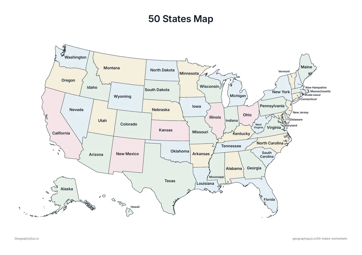
50 States Map
A map of the United States with every state named, in soft colors – a reference to keep or display.
Free teacher resource
Seven worksheets for learning all 50 states: a labeled map, label the states with a word bank, a map of the two-letter state abbreviations and a sheet for writing them, a page of map questions, a coloring page of states that share a first letter, and a My State report. For blank maps, regions, capitals and coloring pages, see the related sets below.
Every sheet comes as an A4 and a US Letter PDF.Print it, then play it
US Letter landscape · 1 page · Reference map
A map of the United States with every state named, in soft colors – a reference to keep or display.
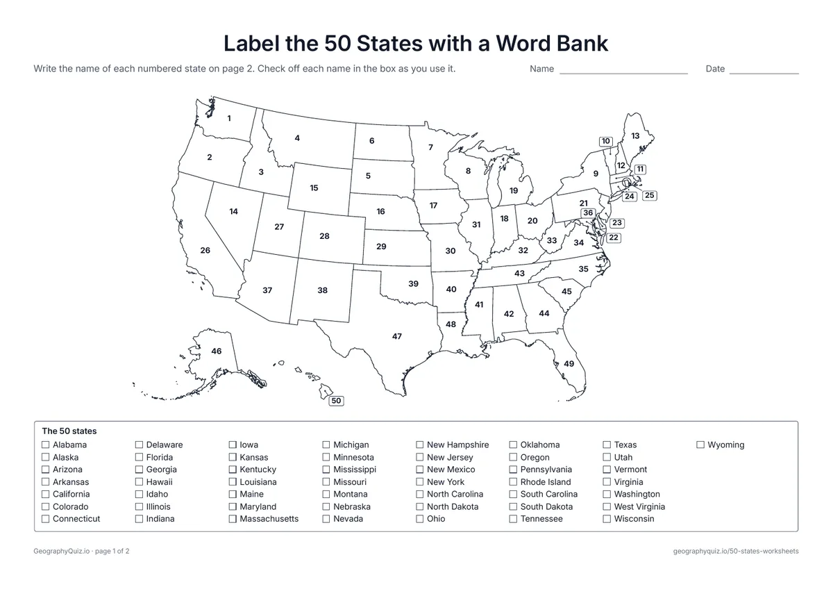
US Letter landscape · 2 pages · 50 to label
Every state is numbered. Students write the names on page 2, checking them off in the word bank of all 50 states.
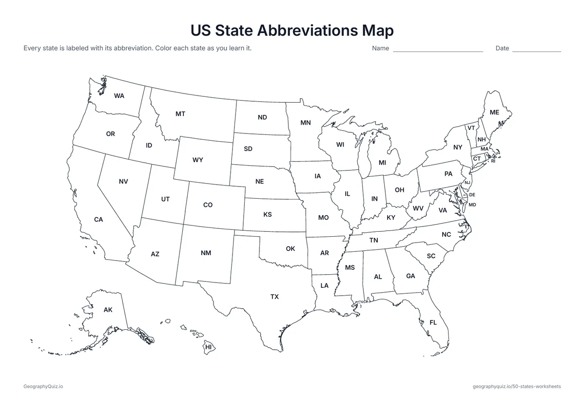
US Letter landscape · 1 page · Reference map
Every state marked with its two-letter postal code, from AL to WY. Color each state as you learn its abbreviation.
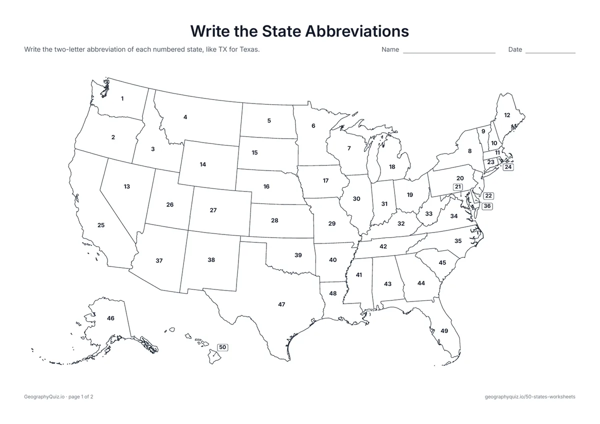
US Letter landscape · 2 pages · 50 to label
The states are numbered. Students write each state's two-letter abbreviation on the numbered lines.
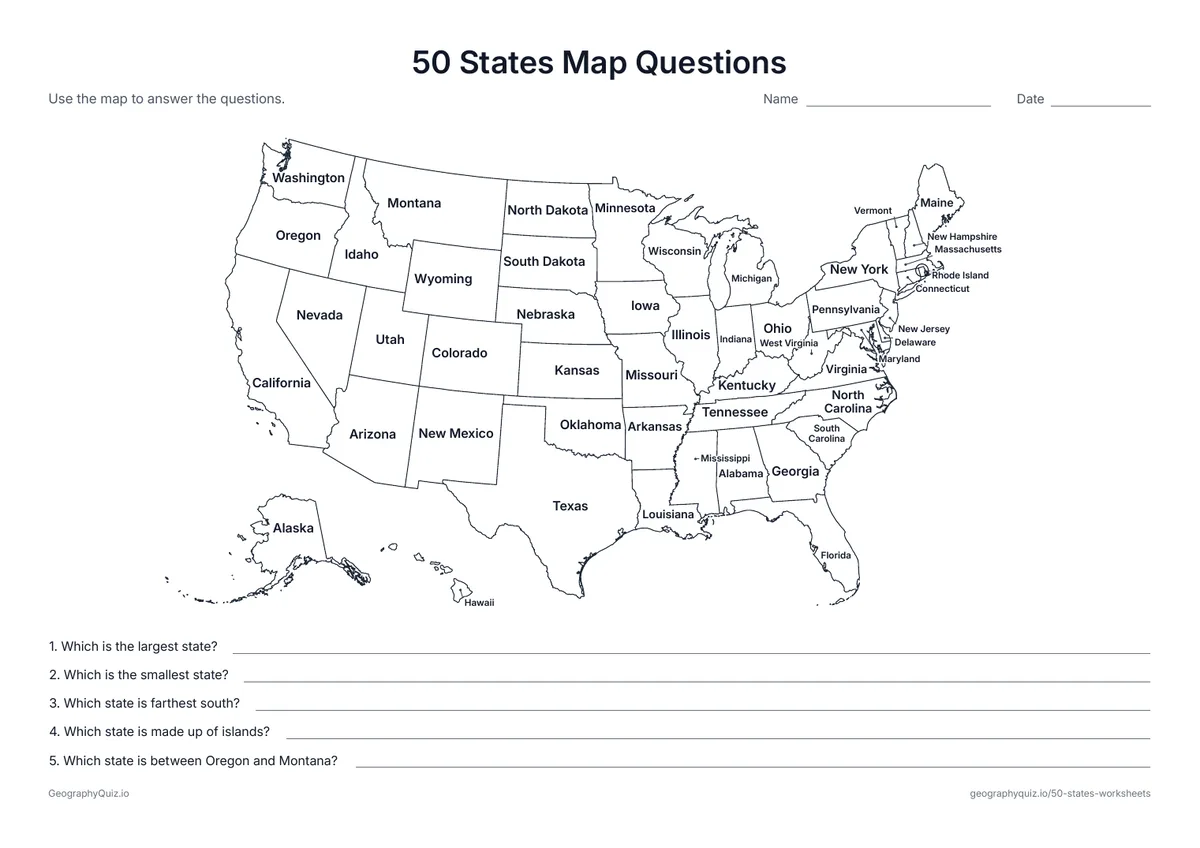
US Letter landscape · 1 page · Reference map
A map with every state named and five questions about the largest, smallest and farthest states.
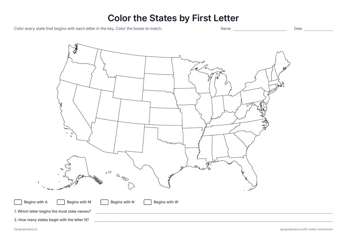
US Letter landscape · 1 page · Map activity
Students color every state that begins with A, M, N or W, using the key, then count each group.
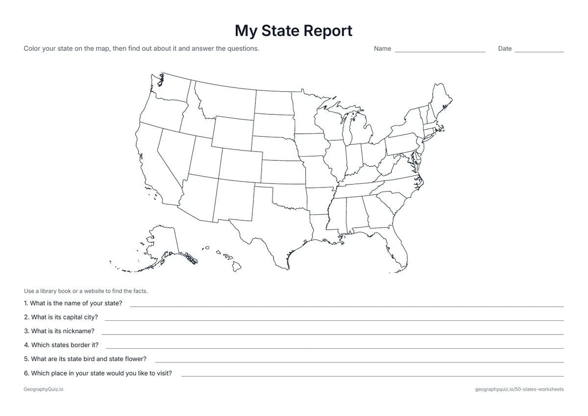
US Letter landscape · 1 page · Map activity
Students color their state on the map, then find and write its capital, nickname, neighbors, state bird and state flower.
For teachers
The small north-eastern states are labeled at the side with leader lines, and Alaska and Hawaii sit in their usual places below the West. Start with the labeled map and the word bank sheet, then try the abbreviations; the questions page works as a quick check. There are no answer sheets: the labeled maps work for checking.
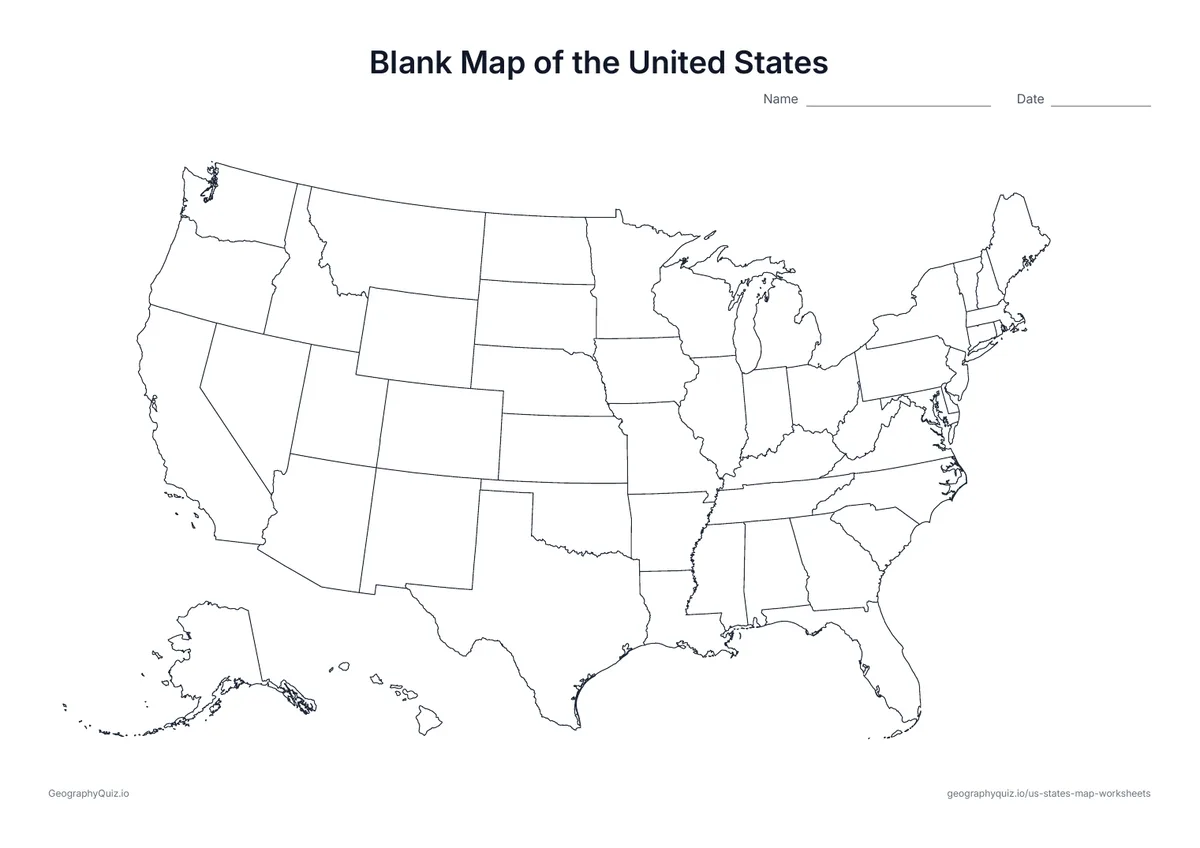
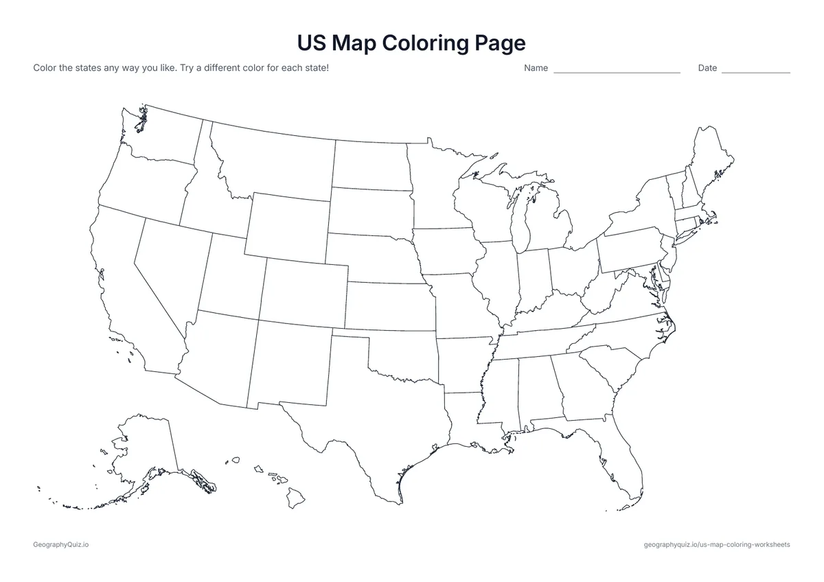
Each activity has its instructions, a key to colour in and space for pupils' answers printed on the sheet. The maps are crisp black line drawings with no names, so they photocopy cleanly and pupils do the finding themselves.
Start with the labeled map, then label the states with the word bank and check off each name as it is used. Learn the two-letter postal abbreviations with the abbreviations map before trying the write-the-abbreviations sheet. The map questions make a quick check, and the first-letter coloring page is a fun way to review. For capitals, regions and coloring pages, see the related sets.
The labeled map and the first-letter coloring page suit grades 2 to 4. The word-bank labeling, abbreviations and map questions fit grades 3 to 5, when most students learn all 50 states.
Learn the states one region at a time, starting with the large western states, then fill in the small states of the Northeast. Saying each state's name aloud while coloring it helps, and a song of the 50 states in alphabetical order is a classic for good reason.
Learn one region at a time, use songs, color each state as it is learned, and practice with a word bank before labeling from memory.
Alaska is the largest state by area and Rhode Island is the smallest. Texas is the largest of the 48 states that touch each other.
Four: New Hampshire, New Jersey, New Mexico and New York.
Every state has a two-letter postal abbreviation, such as CA for California and TX for Texas. The abbreviations map shows all 50.
The US Census Bureau groups them into four regions: the Northeast, the Midwest, the South and the West. Our US map coloring set has a sheet for coloring them.
Most students learn the 50 states in grades 3 to 5, often with their capitals in fourth or fifth grade.
Print it, then play it