US Letter portrait · 1 page · Outline map
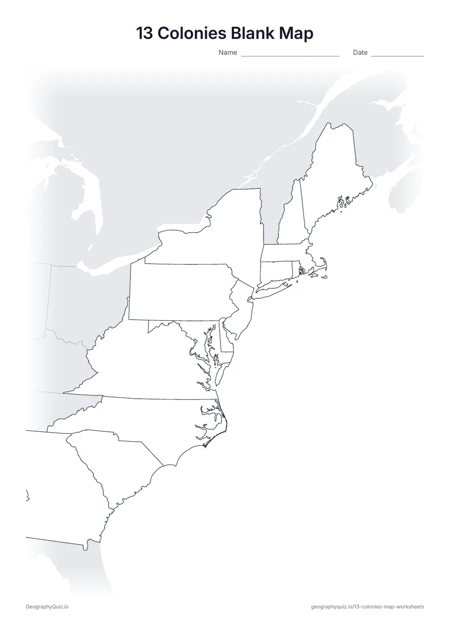
13 Colonies Blank Map
An outline map of the thirteen colonies with the neighboring land shaded gray, ready for your own activity.
Free teacher resource
Nine map worksheets on the thirteen original colonies: a blank map, two label-the-colonies sheets (with and without a word bank), a labeled map, a coloring page, the New England, Middle and Southern colonies, the main colonial cities, the rivers, bay and mountains of the colonies, and a page of map questions.
Every sheet comes as an A4 and a US Letter PDF.Print it, then play it
US Letter portrait · 1 page · Outline map
An outline map of the thirteen colonies with the neighboring land shaded gray, ready for your own activity.
US Letter portrait · 1 page · 13 to label
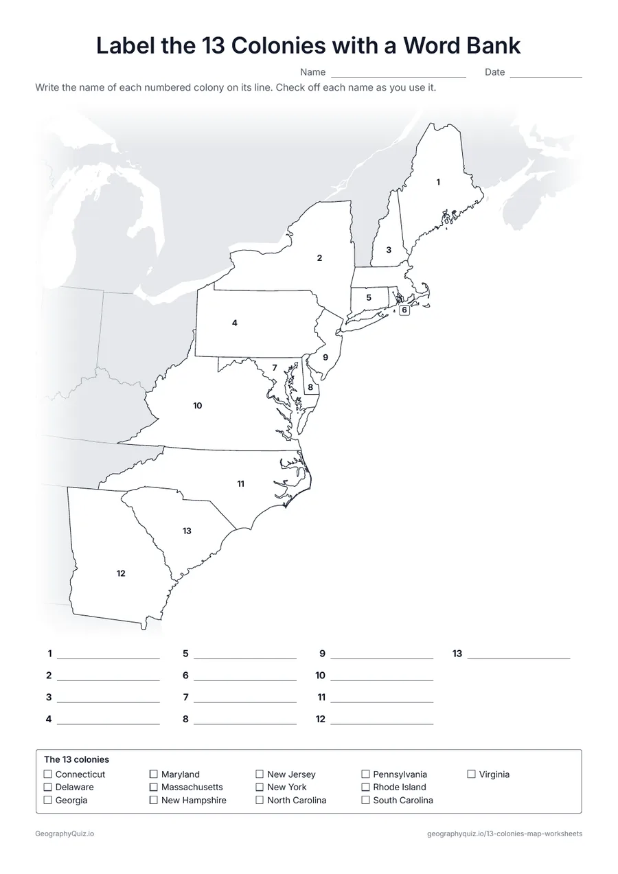
The colonies are numbered. Students write each name on its line, checking off the names in the word bank.
US Letter portrait · 1 page · 13 to label
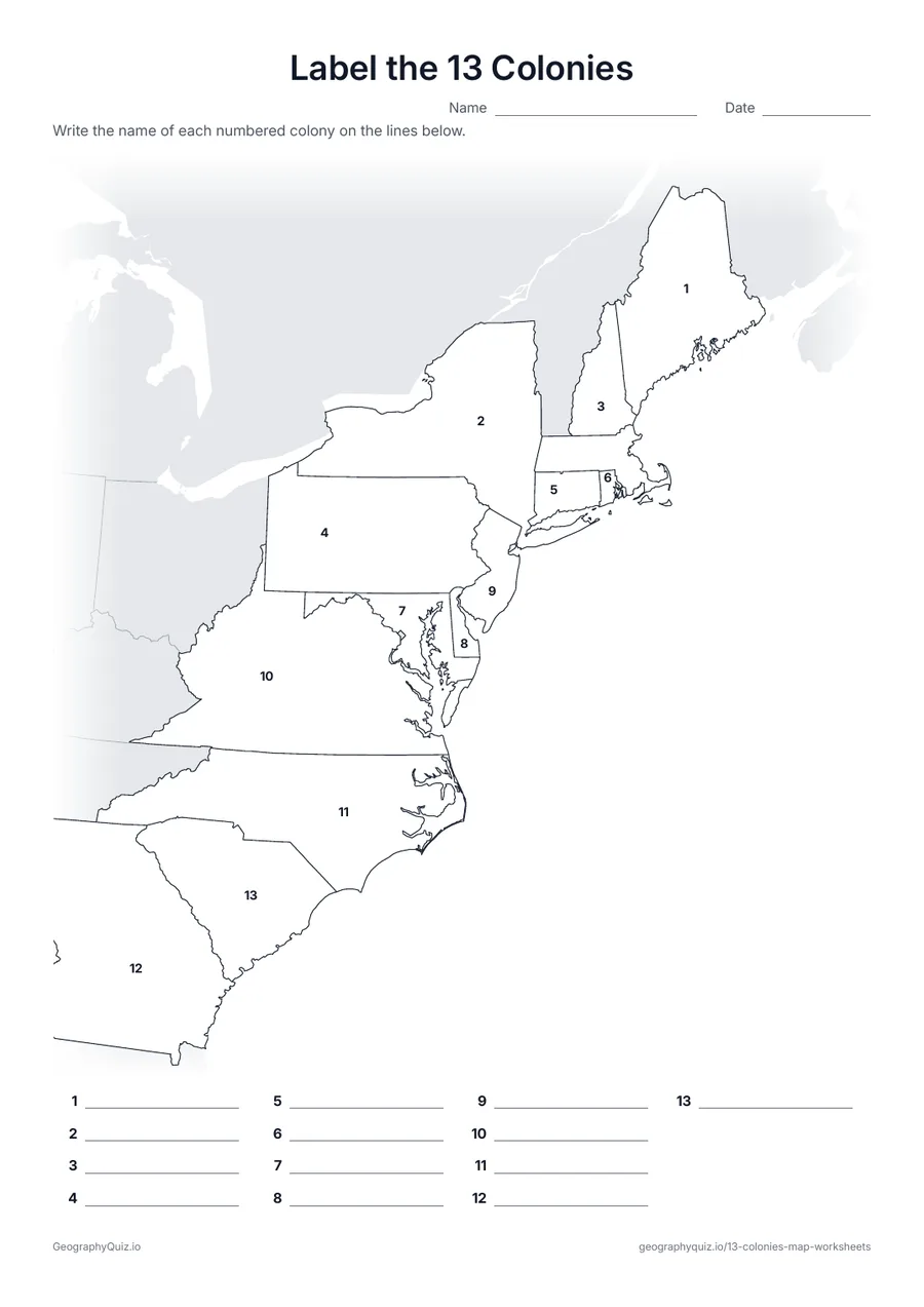
The same numbered map with no word bank – for checking what students remember.
US Letter portrait · 1 page · Reference map
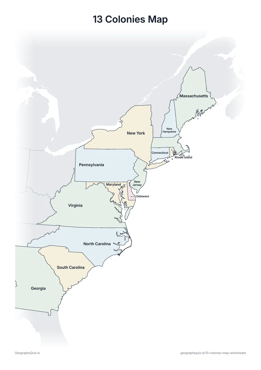
Every colony named on the map, in soft colors – a reference sheet for teaching and checking work.
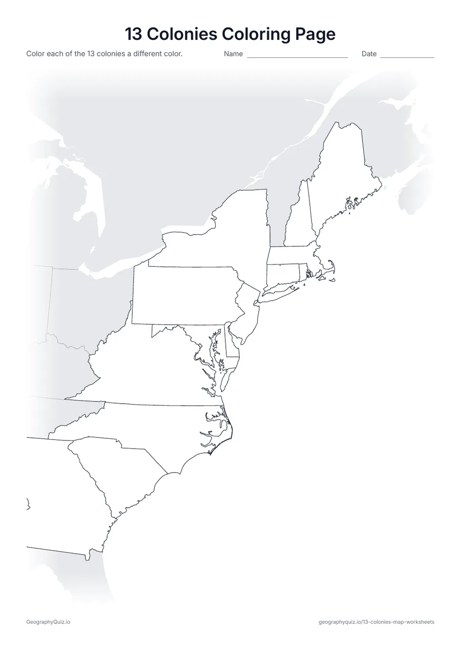
US Letter portrait · 1 page · Map activity
Color each of the thirteen colonies a different color.
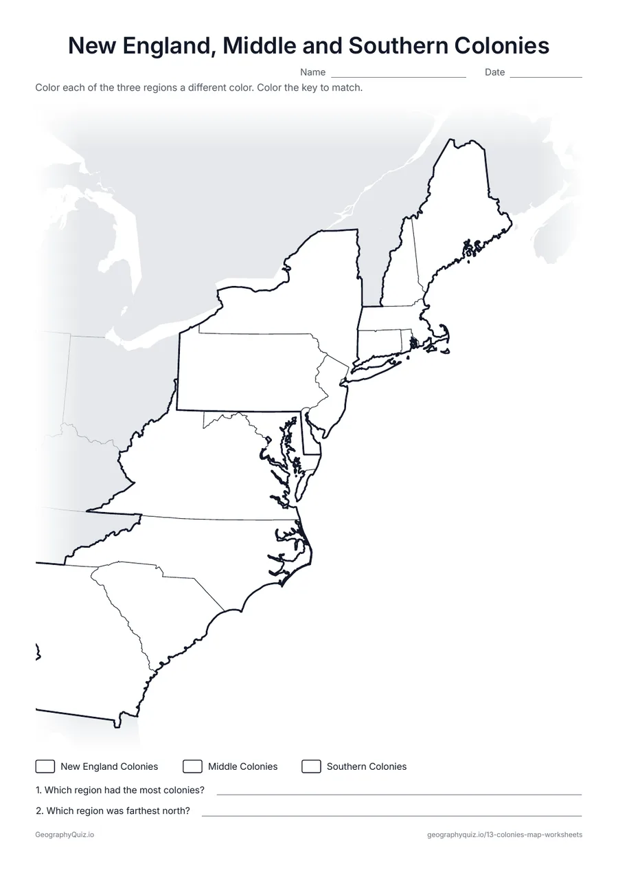
US Letter portrait · 1 page · Map activity
Thick lines split the colonies into three regions. Students color each region and answer two questions.
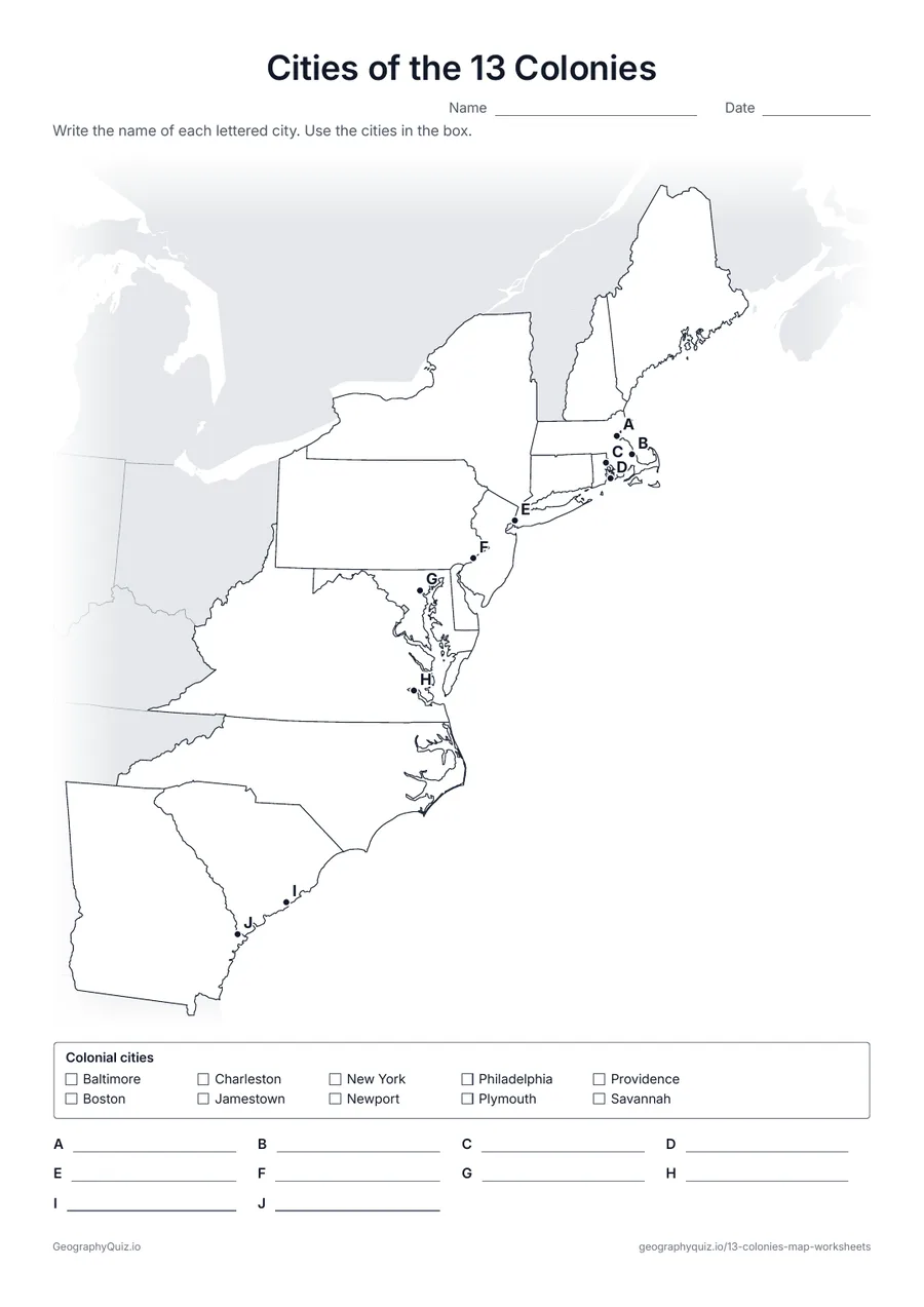
US Letter portrait · 1 page · Map activity
Ten lettered dots mark Jamestown, Plymouth, Boston, New York, Philadelphia, Charleston and other colonial cities. Students name each one.
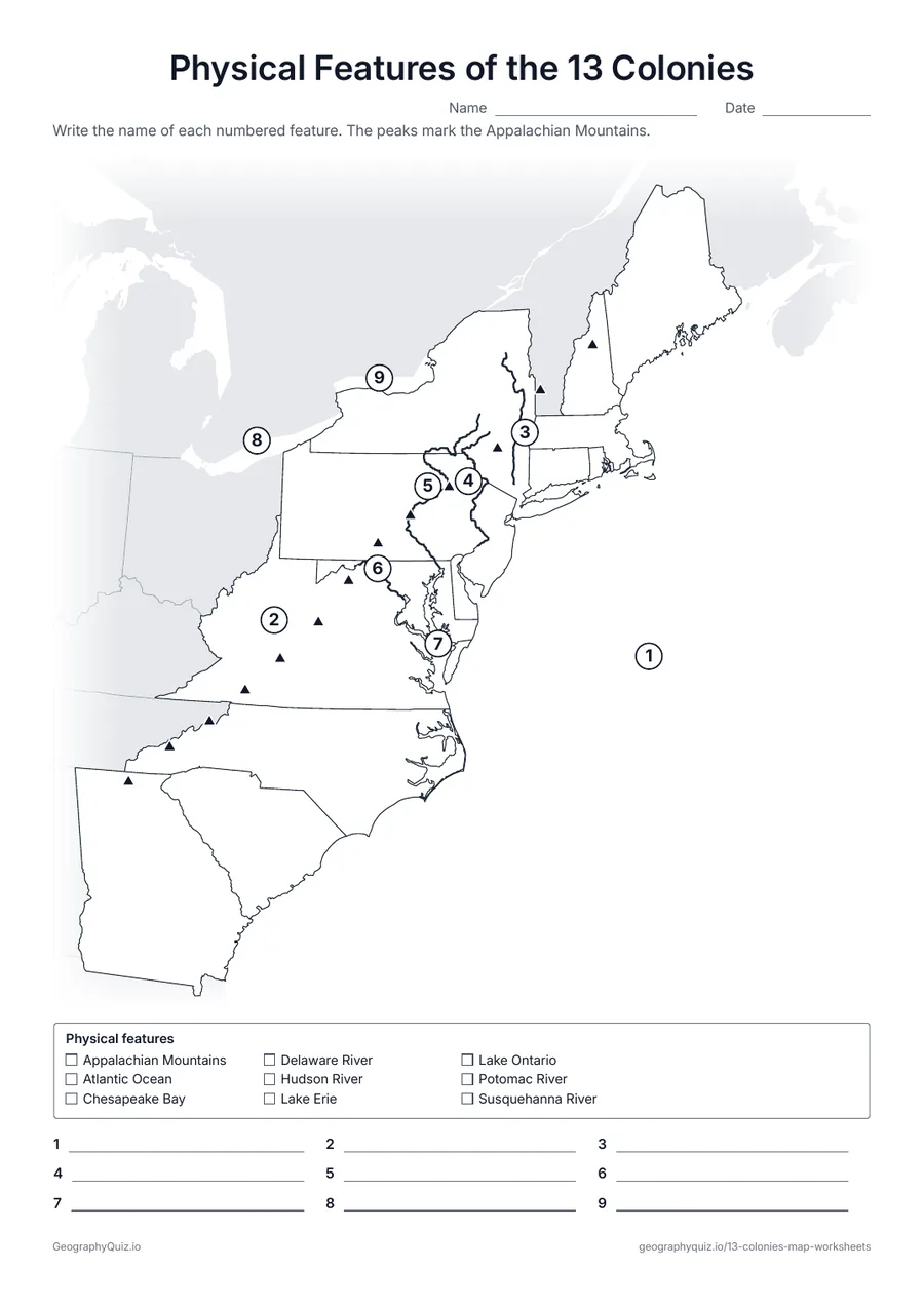
US Letter portrait · 1 page · Map activity
The Atlantic Ocean, the Appalachian Mountains, the Hudson, Delaware, Susquehanna and Potomac Rivers, Chesapeake Bay and two Great Lakes, numbered for labeling.
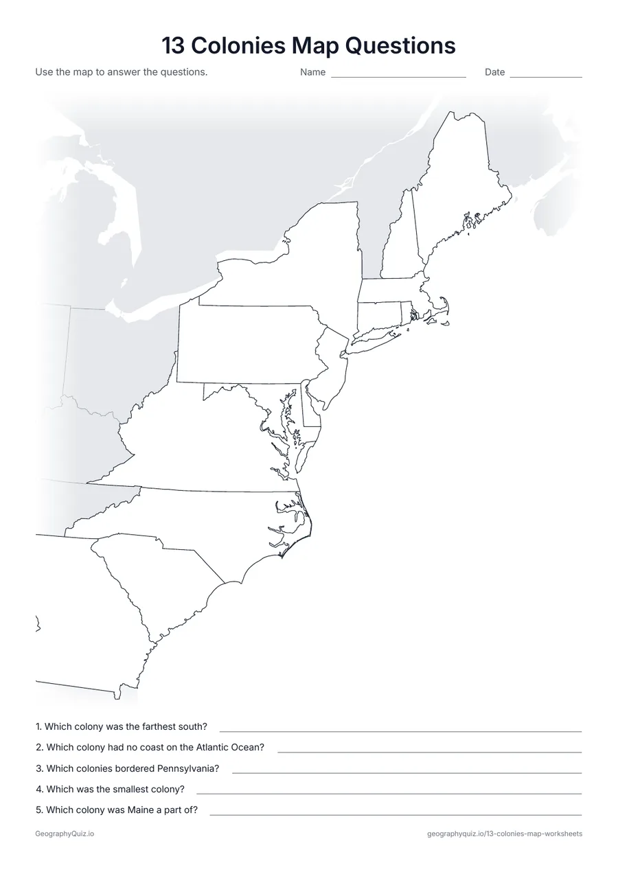
US Letter portrait · 1 page · Map activity
A blank map of the colonies and five questions about where they lie, their neighbors and their size.
For teachers
The colonies are drawn with the borders of the states they became, so Maine is shown as part of Massachusetts and West Virginia as part of Virginia, and western land claims are left out; Vermont, which was disputed land, is shaded gray. Start with the labeled map and the word bank sheet, then move to the numbered sheet and the regions and cities pages in grades 4 and 5. There are no answer sheets: the labeled map works for checking.
Each activity has its instructions, a key to colour in and space for pupils' answers printed on the sheet. The maps are crisp black line drawings with no names, so they photocopy cleanly and pupils do the finding themselves.
Introduce the colonies with the labeled map, then label them with the word bank and check off each name as it is used. Once students know them, the numbered sheet without a word bank checks what they remember. The regions sheet splits the colonies into New England, the Middle Colonies and the Southern Colonies, and the cities and physical features sheets show where colonists settled and why: along the coast, on rivers and bays, east of the Appalachian Mountains.
The colonies follow the borders of the states they became. Maine is shown as part of Massachusetts and West Virginia as part of Virginia, as they were in colonial times, and the large western land claims are left out. Vermont, which New York and New Hampshire both claimed, is shaded gray.
The colonies are usually taught in fifth grade and again in eighth grade US history. The labeled map, coloring page and word bank sheet suit grades 4 and 5; the numbered sheet, cities, physical features and map questions suit grades 5 to 8.
New Hampshire, Massachusetts, Rhode Island, Connecticut, New York, New Jersey, Pennsylvania, Delaware, Maryland, Virginia, North Carolina, South Carolina and Georgia.
The New England Colonies (New Hampshire, Massachusetts, Rhode Island and Connecticut), the Middle Colonies (New York, New Jersey, Pennsylvania and Delaware) and the Southern Colonies (Maryland, Virginia, North Carolina, South Carolina and Georgia).
Virginia was the first: Jamestown was founded in 1607. Georgia was the last, founded in 1732.
Maine was part of Massachusetts until it became a state in 1820, so the maps show it as part of Massachusetts.
The mountains were hard to cross, and the coast, rivers and bays made it easy to trade by ship. In 1763 Britain also banned settlement west of the mountains.
No. The labeled 13 colonies map shows every colony and works for checking the labeling sheets.
Print it, then play it