Interactive map
Iran Map
Every province, city and town in Iran on one zoomable map, with its main highways, rivers and lakes. Switch on towns and provinces above the map and zoom in for every name; tap a province to see its population, area and largest towns.
Loading the map…
Printable maps of Iran
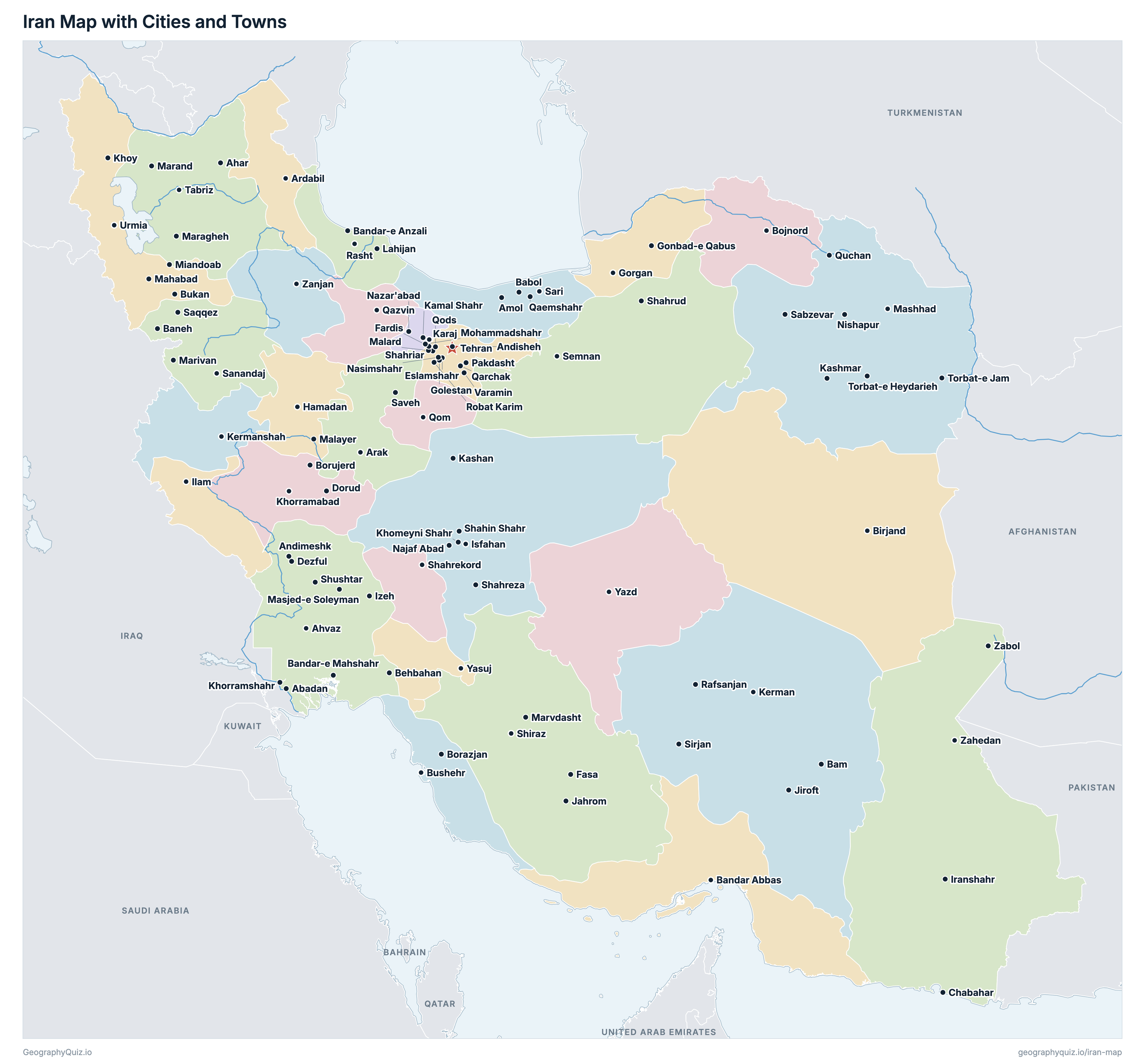
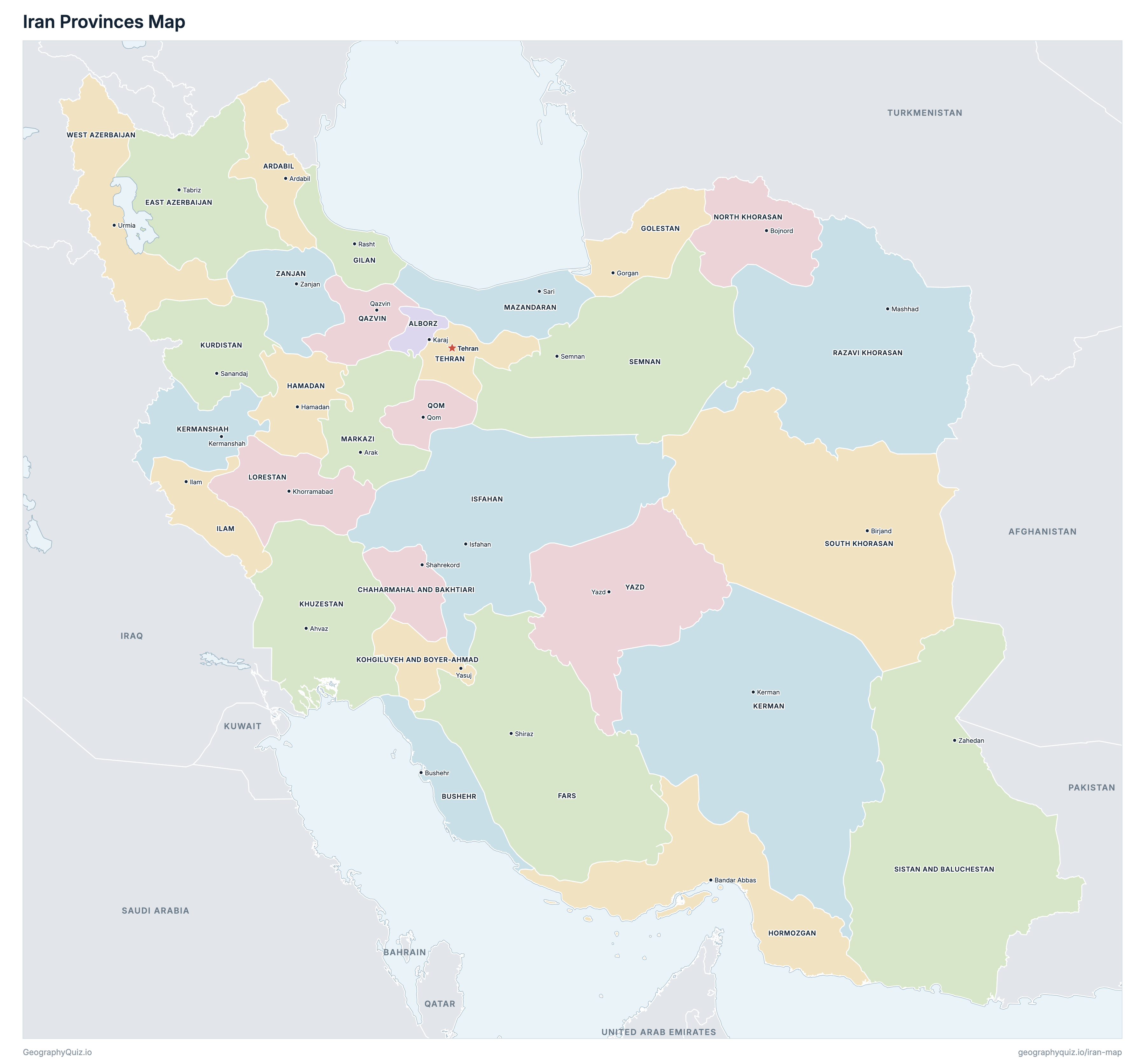
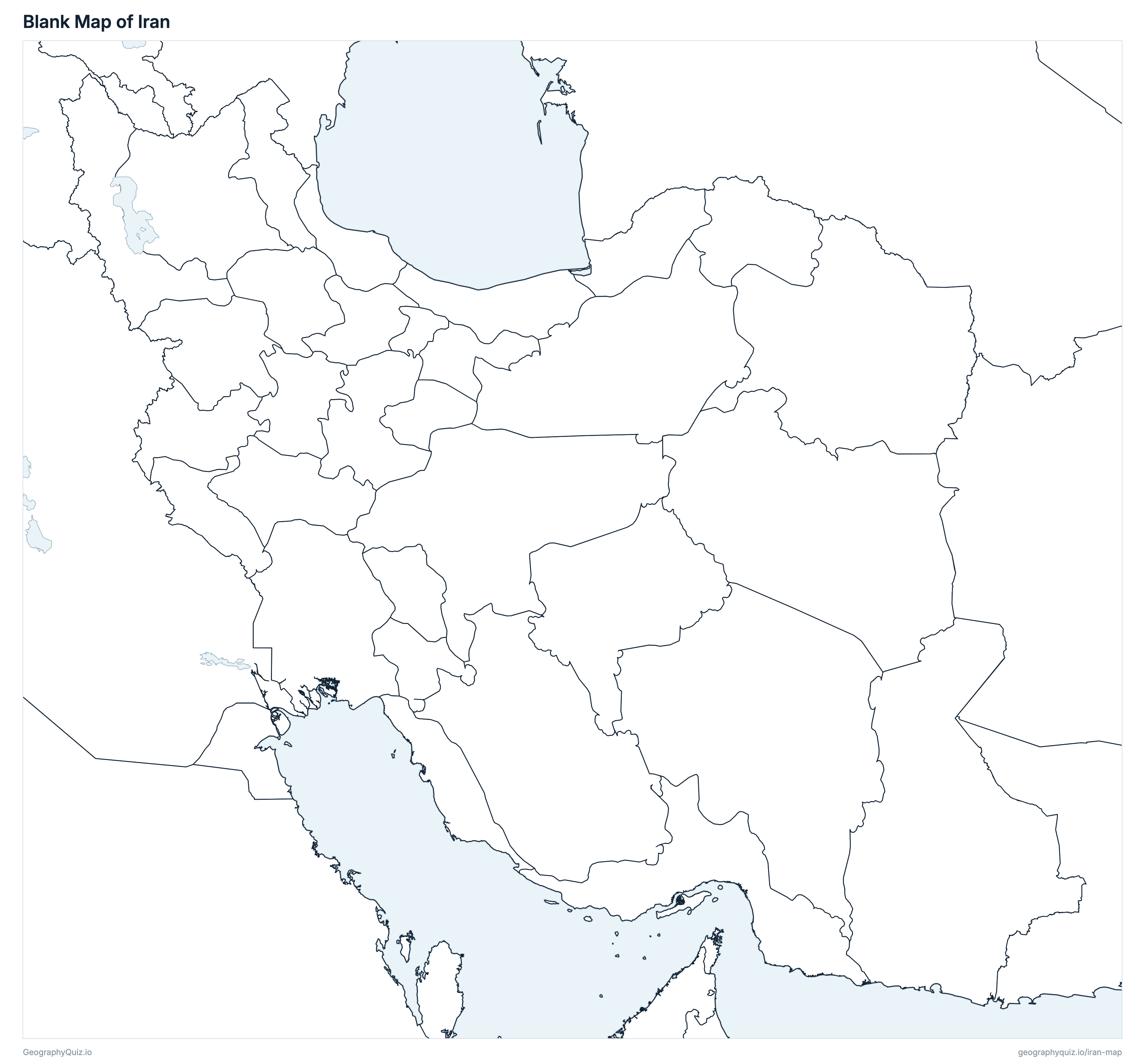
Free to print for class and home: Iran with its cities and towns, a map of its provinces, and a blank outline map. PDFs fit one A4 or US Letter page.
Iran map with cities
Iran provinces map
Key facts
- Capital
- Tehran
- Largest city
- Tehran (8,693,706)
- Population
- 79,926,270 (2016)
- Area
- 1,628,777 km² (628,874 sq mi)
- Provinces of Iran
- 31
- Most populous province
- Tehran (13,267,637)
- Largest province by area
- Sistan and Baluchestan, 181,785 km² (70,188 sq mi)
About Iran
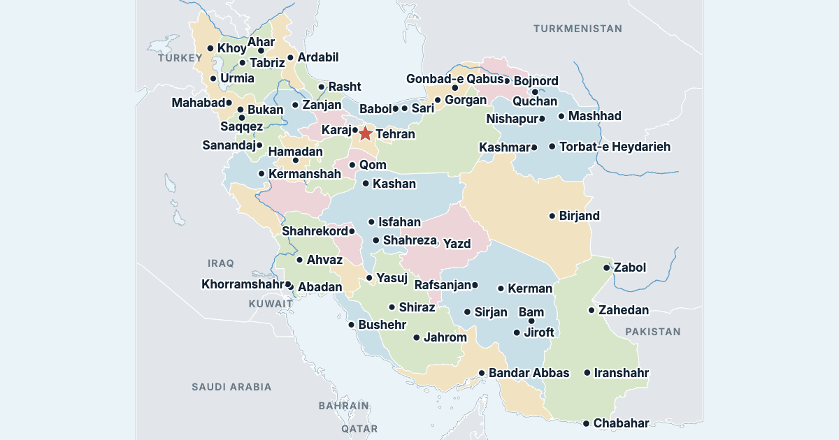
Iran has 31 provinces and about 79,926,270 people (2016) on 1,628,777 km² (628,874 sq mi). Tehran is both the capital and the largest city, with 8,693,706 people. It borders Afghanistan, Armenia, Azerbaijan, Iraq, Pakistan, Turkey and Turkmenistan.
Tehran is the most populous province (13,267,637 people) and Ilam the least (580,158); Sistan and Baluchestan is the largest by area (181,785 km²) and Alborz the smallest (5,173 km²).
Largest cities in Iran
The 25 most populous cities and towns. All 98 are on the map above: switch on Towns and zoom in to see them.
| # | City | Province | Population |
|---|---|---|---|
| 1 | Tehran | Tehran | 8,693,706 |
| 2 | Mashhad | Razavi Khorasan | 3,001,184 |
| 3 | Isfahan | Isfahan | 1,961,260 |
| 4 | Karaj | Alborz | 1,592,492 |
| 5 | Shiraz | Fars | 1,565,572 |
| 6 | Tabriz | East Azerbaijan | 1,558,693 |
| 7 | Qom | Qom | 1,201,158 |
| 8 | Ahvaz | Khuzestan | 1,184,788 |
| 9 | Kermanshah | Kermanshah | 946,651 |
| 10 | Urmia | West Azerbaijan | 736,224 |
| 11 | Rasht | Gilan | 679,995 |
| 12 | Zahedan | Sistan and Baluchestan | 587,730 |
| 13 | Hamadan | Hamadan | 554,406 |
| 14 | Kerman | Kerman | 537,718 |
| 15 | Yazd | Yazd | 529,673 |
| 16 | Ardabil | Ardabil | 529,374 |
| 17 | Bandar Abbas | Hormozgan | 526,648 |
| 18 | Arak | Markazi | 520,944 |
| 19 | Eslamshahr | Tehran | 448,129 |
| 20 | Zanjan | Zanjan | 430,871 |
| 21 | Sanandaj | Kurdistan | 412,767 |
| 22 | Qazvin | Qazvin | 402,748 |
| 23 | Khorramabad | Lorestan | 373,416 |
| 24 | Gorgan | Golestan | 350,676 |
| 25 | Sari | Mazandaran | 309,820 |
Populations are those of the 2016 census, Iran's latest, as published by the Statistical Centre of Iran. A town's figure is that of the city itself, without its county's villages or the other towns around it (Tehran's suburbs such as Eslamshahr are cities of their own). Areas are the Statistical Centre's land areas.
Provinces of Iran
All 31 provinces. Select one to show it on the map.
| Karaj | 2,712,400 | 5,173 | |
| Ardabil | 1,270,420 | 17,813 | |
| Bushehr | 1,163,400 | 22,764 | |
| Shahrekord | 947,763 | 16,336 | |
| Tabriz | 3,909,652 | 45,637 | |
| Shiraz | 4,851,274 | 122,604 | |
| Rasht | 2,530,696 | 14,041 | |
| Gorgan | 1,868,819 | 20,367 | |
| Hamadan | 1,738,234 | 19,367 | |
| Bandar Abbas | 1,776,415 | 70,712 | |
| Ilam | 580,158 | 20,132 | |
| Isfahan | 5,120,850 | 107,017 | |
| Kerman | 3,164,718 | 180,725 | |
| Kermanshah | 1,952,434 | 25,009 | |
| Ahvaz | 4,710,509 | 64,019 | |
| Yasuj | 713,052 | 15,519 | |
| Sanandaj | 1,603,011 | 29,136 | |
| Khorramabad | 1,760,649 | 28,293 | |
| Arak | 1,429,475 | 29,126 | |
| Sari | 3,283,582 | 23,841 | |
| Bojnord | 863,092 | 28,434 | |
| Qazvin | 1,273,761 | 15,567 | |
| Qom | 1,292,283 | 11,526 | |
| Mashhad | 6,434,501 | 118,851 | |
| Semnan | 702,360 | 97,490 | |
| Zahedan | 2,775,014 | 181,785 | |
| Birjand | 768,898 | 150,797 | |
| Tehran | 13,267,637 | 13,640 | |
| Urmia | 3,265,219 | 37,411 | |
| Yazd | 1,138,533 | 73,872 | |
| Zanjan | 1,057,461 | 21,773 |
Quizzes and worksheets
Sources
- Populations: Statistical Centre of Iran (SCI), National Population and Housing Census 2016 (1395): population by province (general results, table 1) and population of the cities (amar.org.ir).
- Areas: SCI, Iran Statistical Yearbook 1396, table 1.4, area of the provinces (amar.org.ir).
- Town locations: US National Geospatial-Intelligence Agency, GEOnet Names Server.