Interactive map
Chile Map
Every region, city and town in Chile on one zoomable map, with its main highways, rivers and lakes. Switch on towns and regions above the map and zoom in for every name; tap a region to see its population, area and largest towns.
Loading the map…
Printable maps of Chile
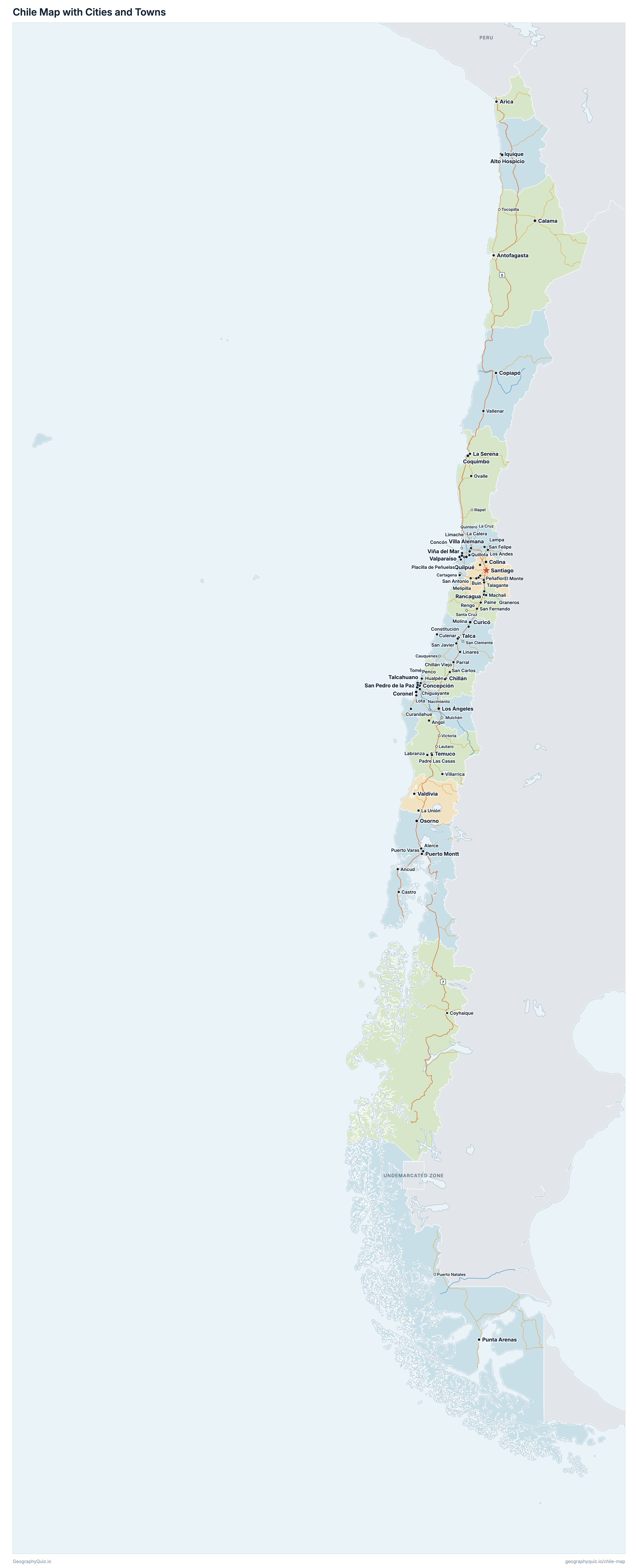
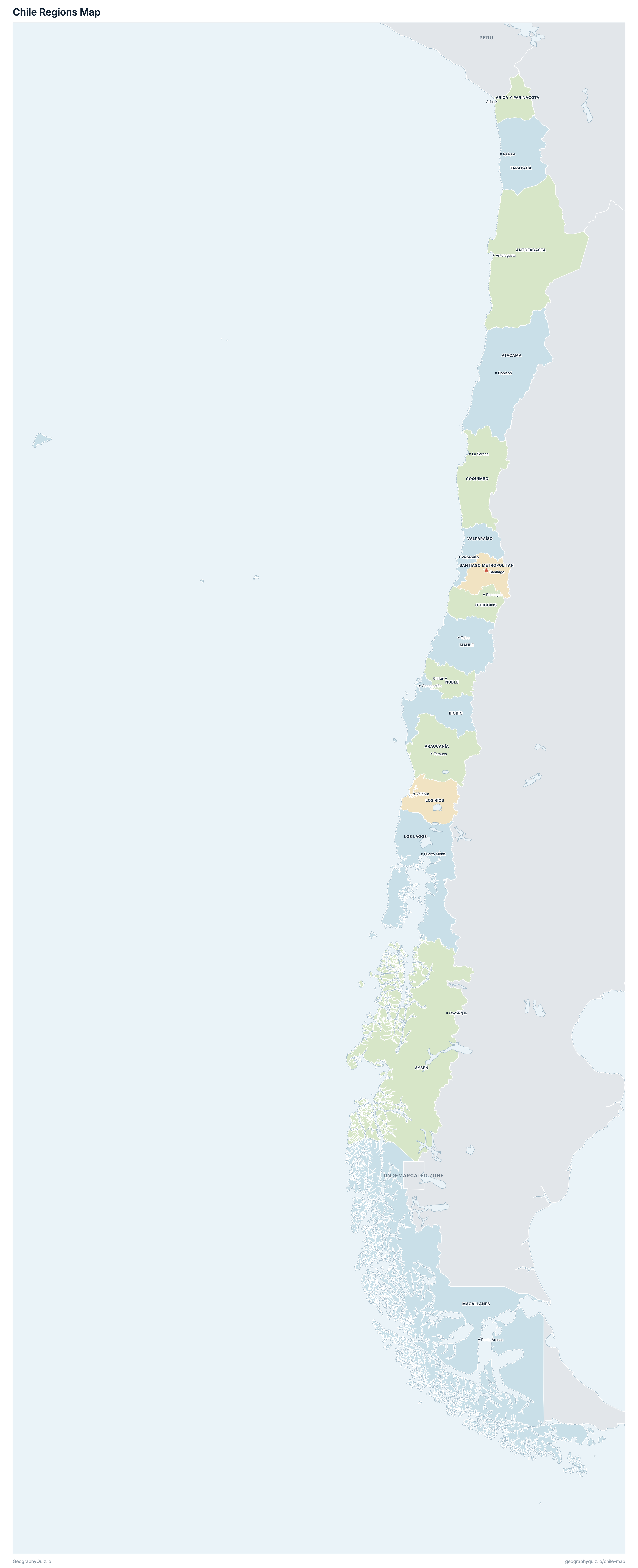
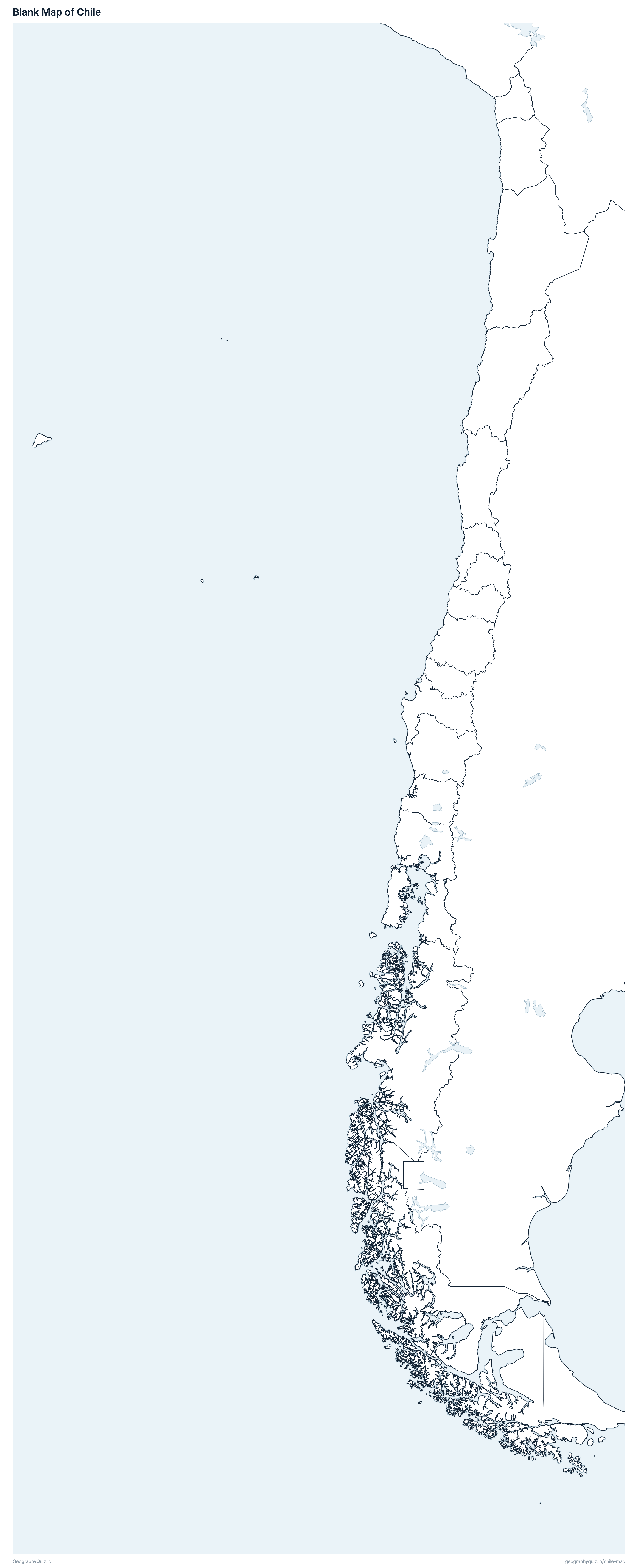
Free to print for class and home: Chile with its cities and towns, a map of its regions, and a blank outline map. PDFs fit one A4 or US Letter page.
Chile map with cities
Chile regions map
About Chile
Chile has 16 regions and about 18,480,432 people (2024) on 752,596 km² (290,579 sq mi). Santiago is both the capital and the largest city, with 6,255,650 people. It borders Argentina, Bolivia and Peru.
Santiago Metropolitan is the most populous region (7,400,741 people) and Aysén the least (100,745); Magallanes is the largest by area (130,092 km²) and Ñuble the smallest (13,089 km²).
Largest cities in Chile
The 25 most populous cities and towns. All 87 are on the map above: switch on Towns and zoom in to see them.
| # | City | Region | Population |
|---|---|---|---|
| 1 | Santiago | Santiago Metropolitan | 6,255,650 |
| 2 | Antofagasta | Antofagasta | 387,247 |
| 3 | Viña del Mar | Valparaíso | 330,109 |
| 4 | Rancagua | O'Higgins | 242,421 |
| 5 | Temuco | Araucanía | 227,403 |
| 6 | Coquimbo | Coquimbo | 226,042 |
| 7 | Concepción | Biobío | 223,525 |
| 8 | Valparaíso | Valparaíso | 221,330 |
| 9 | Talca | Maule | 216,076 |
| 10 | La Serena | Coquimbo | 212,884 |
| 11 | Arica | Arica y Parinacota | 209,981 |
| 12 | Iquique | Tarapacá | 189,761 |
| 13 | Puerto Montt | Los Lagos | 171,939 |
| 14 | Chillán | Ñuble | 160,507 |
| 15 | Copiapó | Atacama | 160,462 |
| 16 | Quilpué | Valparaíso | 157,024 |
| 17 | Calama | Antofagasta | 154,389 |
| 18 | San Pedro de la Paz | Biobío | 150,512 |
| 19 | Osorno | Los Lagos | 145,744 |
| 20 | Valdivia | Los Ríos | 144,883 |
| 21 | Talcahuano | Biobío | 143,593 |
| 22 | Los Ángeles | Biobío | 142,895 |
| 23 | Villa Alemana | Valparaíso | 137,121 |
| 24 | Alto Hospicio | Tarapacá | 134,762 |
| 25 | Punta Arenas | Magallanes | 123,648 |
Populations are those counted in the 2024 census (Censo de Población y Vivienda 2024, INE). Cities are INE's urban entities (ciudades), so a city's figure is its built-up area, not its comuna; Santiago is Greater Santiago (INE's urban locality Gran Santiago, the city across 39 comunas), while conurbations elsewhere, such as Valparaíso and Viña del Mar or Concepción and Talcahuano, are shown city by city. Easter Island (Rapa Nui, part of Valparaíso) is drawn as an inset at three times the scale, off the coast: it really lies some 3,700 km west of the mainland. The Chilean Antarctic Territory, part of Magallanes, is not drawn; its 60 people counted in the census are in Magallanes' total. The undemarcated stretch of the Southern Patagonian Ice Field is shown in grey.
Regions of Chile
All 16 regions. Select one to show it on the map.
| Antofagasta | 635,416 | 126,426 | |
| Temuco | 1,010,423 | 31,762 | |
| Arica | 244,569 | 16,933 | |
| Copiapó | 299,180 | 75,829 | |
| Coyhaique | 100,745 | 106,690 | |
| Concepción | 1,613,059 | 23,921 | |
| La Serena | 832,864 | 40,619 | |
| Puerto Montt | 890,284 | 48,277 | |
| Valdivia | 398,230 | 18,214 | |
| Punta Arenas | 166,537 | 130,092 | |
| Talca | 1,123,008 | 30,298 | |
| Chillán | 512,289 | 13,089 | |
| Rancagua | 987,228 | 16,353 | |
| Santiago | 7,400,741 | 15,405 | |
| Iquique | 369,806 | 42,444 | |
| Valparaíso | 1,896,053 | 16,243 |
Quizzes and worksheets
Sources
- Regions: Instituto Nacional de Estadísticas (INE), Cartografía Censo 2024 (areas worked out from its boundaries).
- Populations: INE, Censo de Población y Vivienda 2024, population counted by region and comuna (table D1).
- Cities: INE, Censo 2024, urban entities (ciudades) and their populations, with Greater Santiago (the urban locality Gran Santiago) as one city.
- National roads: Ministerio de Obras Públicas, Dirección de Vialidad, Red Vial Chile.
- Undemarcated zone of the Southern Patagonian Ice Field: Biblioteca del Congreso Nacional (BCN), Mapas vectoriales.