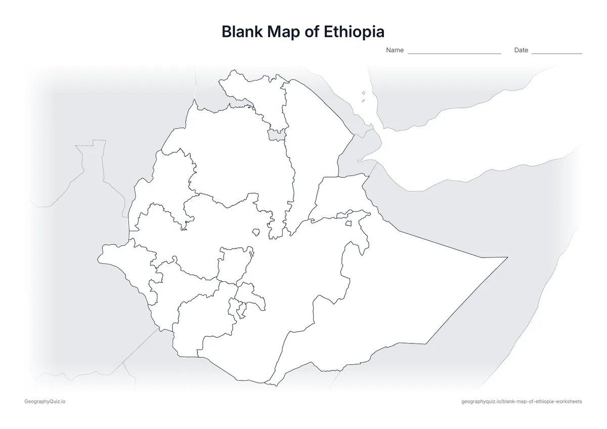
A4 landscape · 1 page · Outline map
Blank Map of Ethiopia
An outline map of Ethiopia showing the borders of all 12 regions and 2 chartered cities, with neighbouring countries shaded grey.
Free teacher resource
Printable maps of Ethiopia's 12 regional states and its two chartered cities, Addis Ababa and Dire Dawa. Few maps have changed as much: Sidama became a region in 2020, South West Ethiopia in 2021, and in 2023 the rest of the old Southern Nations, Nationalities and Peoples' Region split into South Ethiopia and Central Ethiopia. Use these sheets to update older textbook maps.
Every sheet comes as an A4 and a US Letter PDF.Print it, then play itExplore the interactive Africa map
A4 landscape · 1 page · Outline map
An outline map of Ethiopia showing the borders of all 12 regions and 2 chartered cities, with neighbouring countries shaded grey.
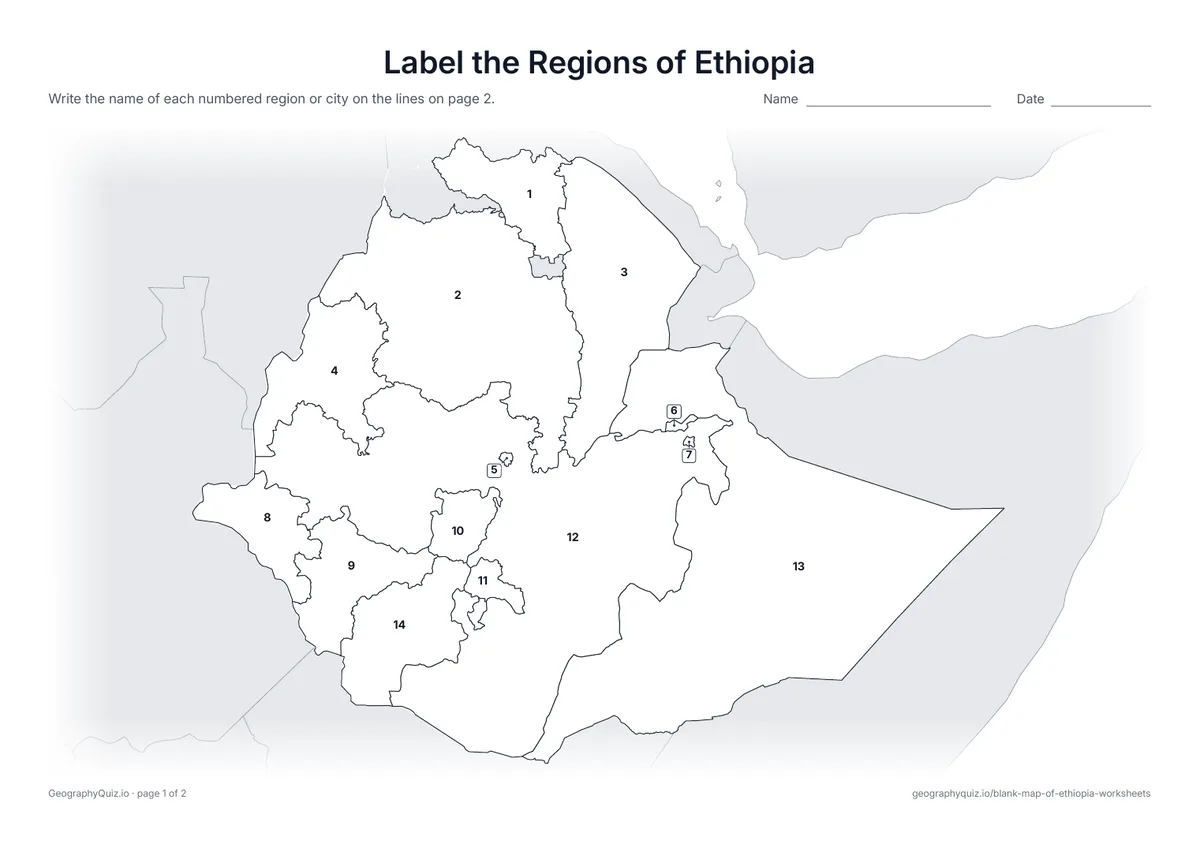
A4 landscape · 2 pages · 14 to label
All 12 regions and 2 chartered cities are numbered. Pupils write the names on the numbered lines.
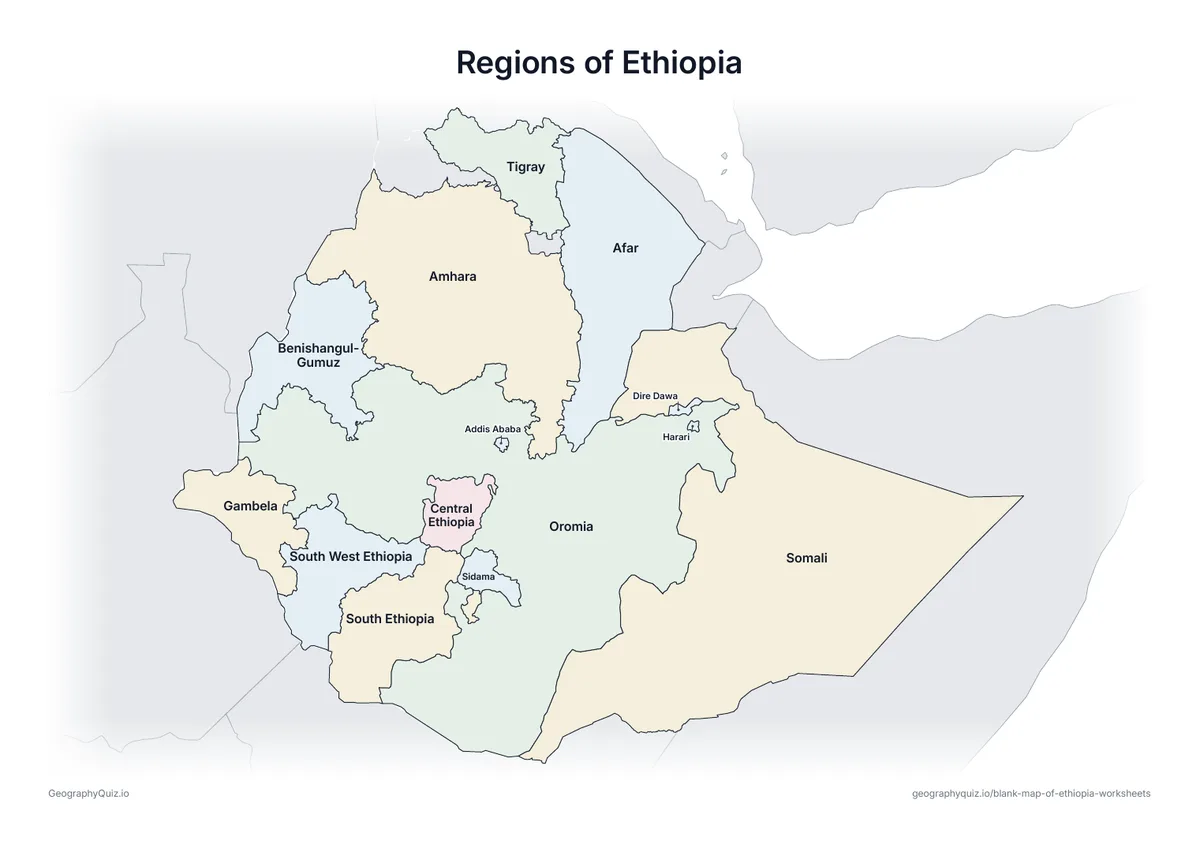
A4 landscape · 1 page · Reference map
A map of Ethiopia with every name printed on it – a reference sheet for teaching and for checking answers.
For teachers
Harari, Addis Ababa and Dire Dawa are small and are numbered with leader lines. Western Tigray, claimed by both Tigray and Amhara, is shaded grey and not numbered. There is no capitals sheet, because several of the newer regions spread their government offices across more than one town.
On the label-it and capitals sheets, pupils write the names on the numbered lines – or, where there are ten places or fewer, in the empty answer box joined to each place; the labelled map doubles as a reference sheet. All sheets are crisp black line maps with light shading, so they photocopy and print cleanly in black and white.
Print it, then play it