A4 portrait · 1 page · Outline map
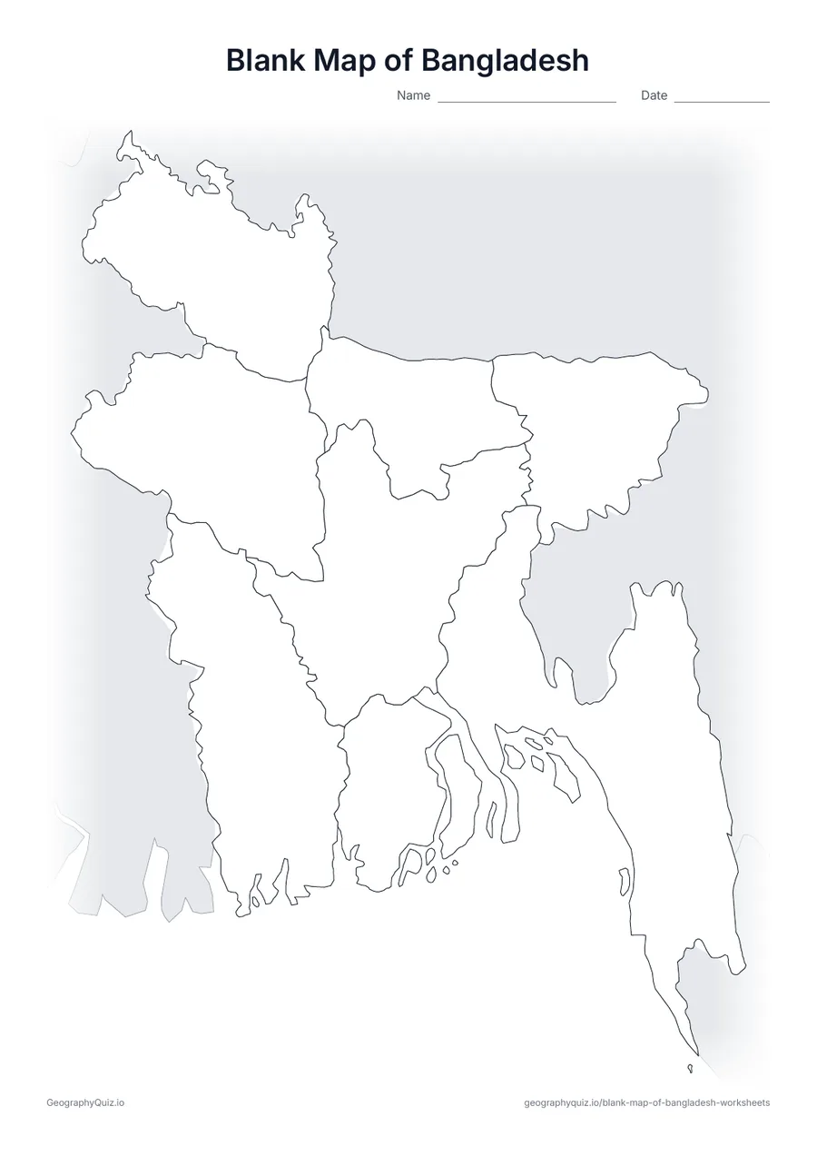
Blank Map of Bangladesh
An outline map of Bangladesh showing the borders of all 8 divisions, with neighbouring countries shaded grey.
Free teacher resource
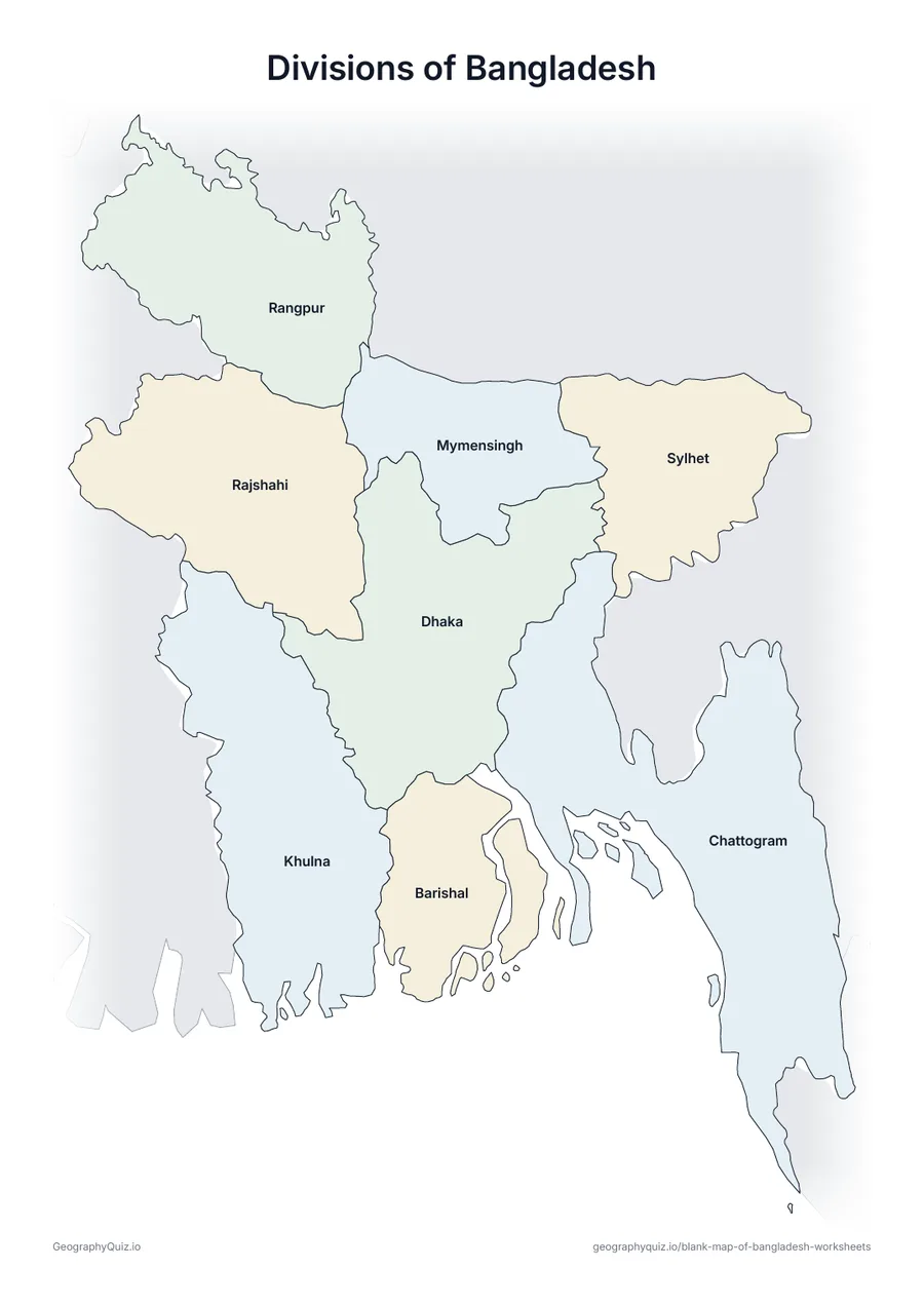
Printable maps of the eight divisions of Bangladesh: Barishal, Chattogram, Dhaka, Khulna, Mymensingh, Rajshahi, Rangpur and Sylhet. Each division is named after its headquarters city, so labelling the map also teaches the main cities. Mymensingh, split from Dhaka Division in 2015, is the newest.
Every sheet comes as an A4 and a US Letter PDF.Print it, then play itExplore the interactive Asia map
A4 portrait · 1 page · Outline map
An outline map of Bangladesh showing the borders of all 8 divisions, with neighbouring countries shaded grey.
A4 portrait · 1 page · 8 to label
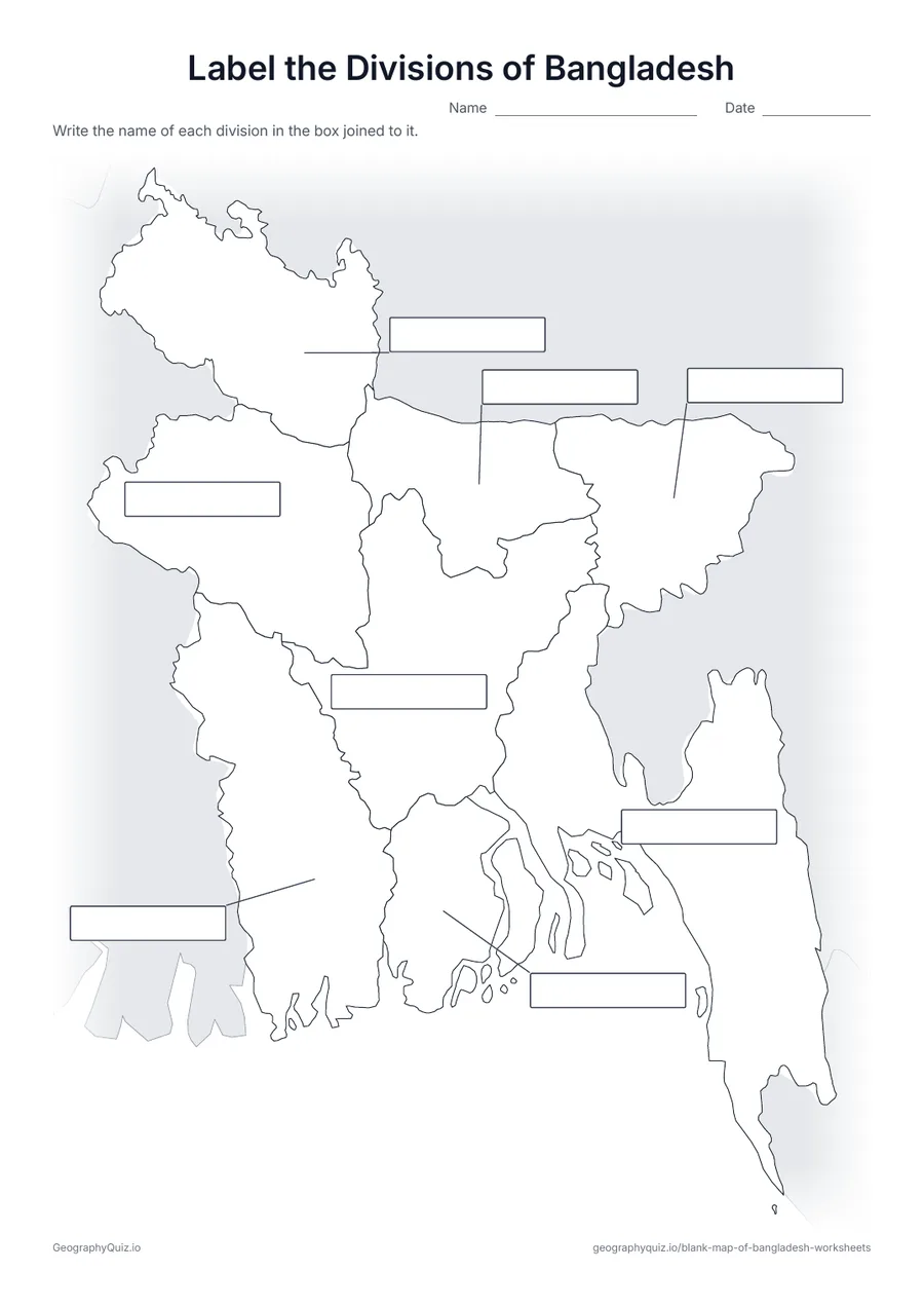
An empty answer box is joined to each of the 8 divisions by a line, as on the world continents sheet. Pupils write the names in the boxes.
A4 portrait · 1 page · Reference map
A map of Bangladesh with every name printed on it – a reference sheet for teaching and for checking answers.
For teachers
With eight divisions, the label-it sheet joins an empty answer box to each one with a line instead of numbering them. There is no capitals sheet, because every division takes its name from its headquarters. The maps use the spellings adopted in 2018, such as Chattogram for Chittagong and Barishal for Barisal.
On the label-it and capitals sheets, pupils write the names on the numbered lines – or, where there are ten places or fewer, in the empty answer box joined to each place; the labelled map doubles as a reference sheet. All sheets are crisp black line maps with light shading, so they photocopy and print cleanly in black and white.
Print it, then play it