Interactive map
Philippines Map
Every region, city and town in the Philippines on one zoomable map, with its main highways, rivers and lakes. Switch on towns and regions above the map and zoom in for every name; tap a region to see its population, area and largest towns.
Loading the map…
Printable maps of the Philippines
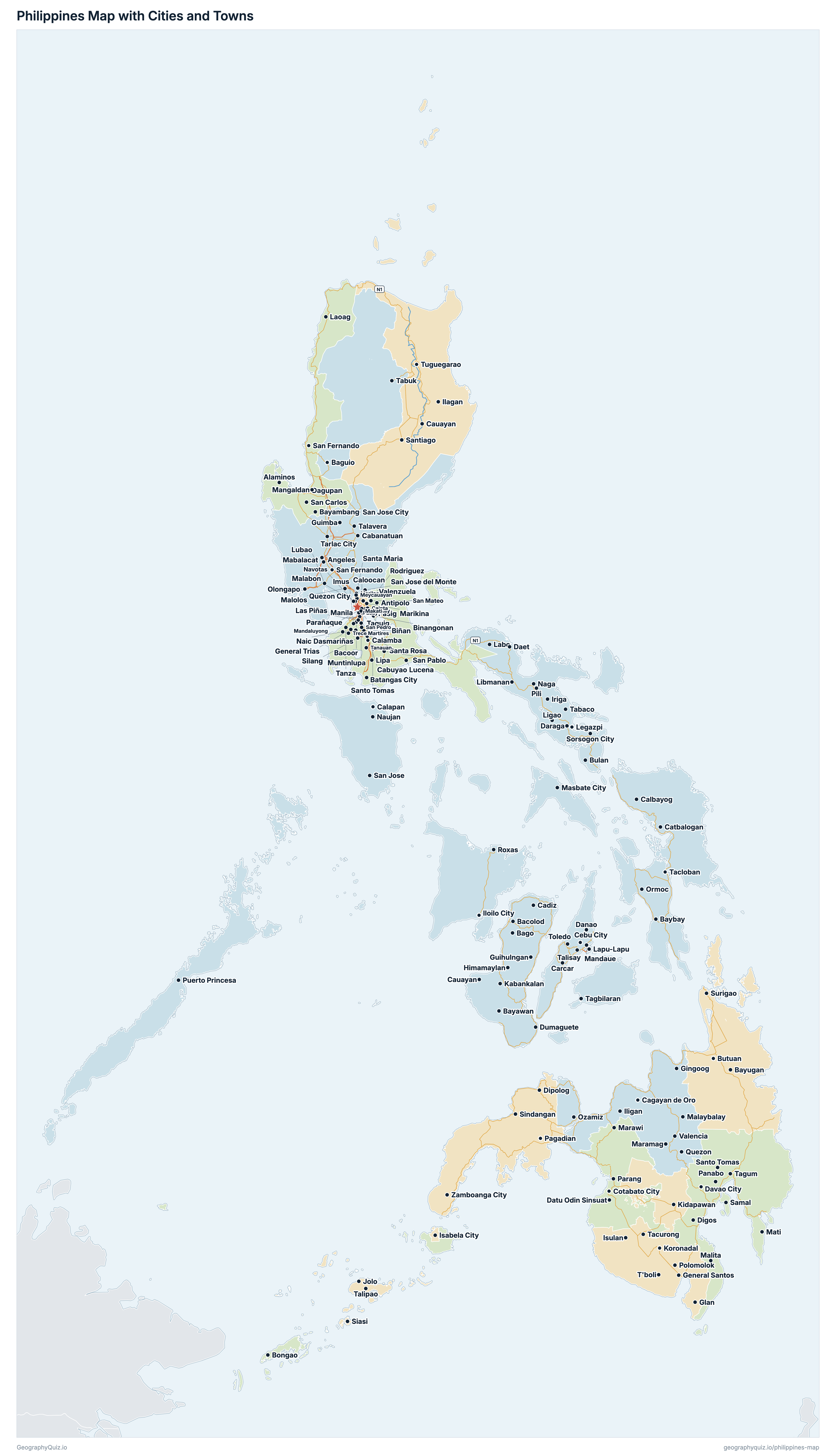
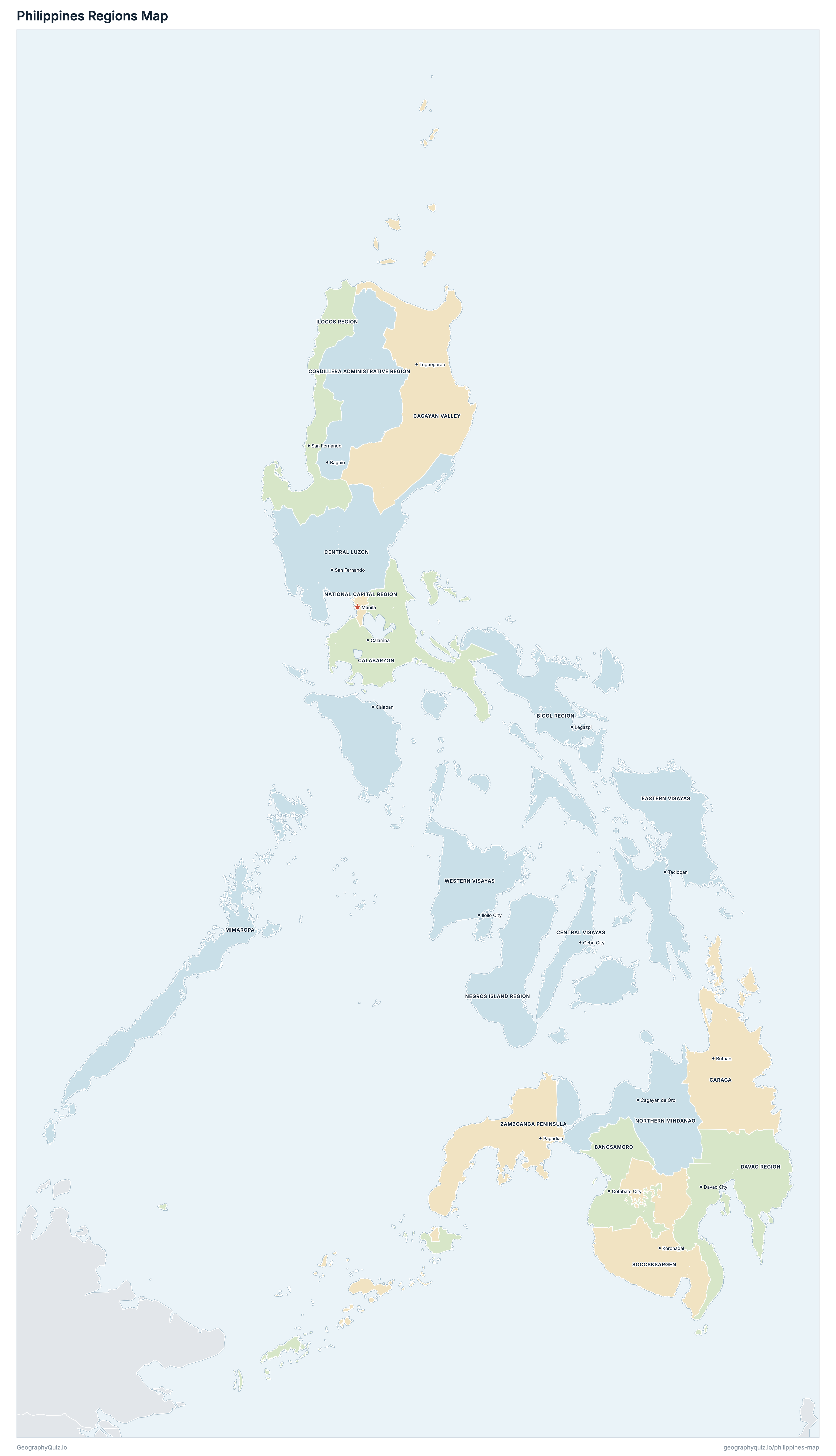
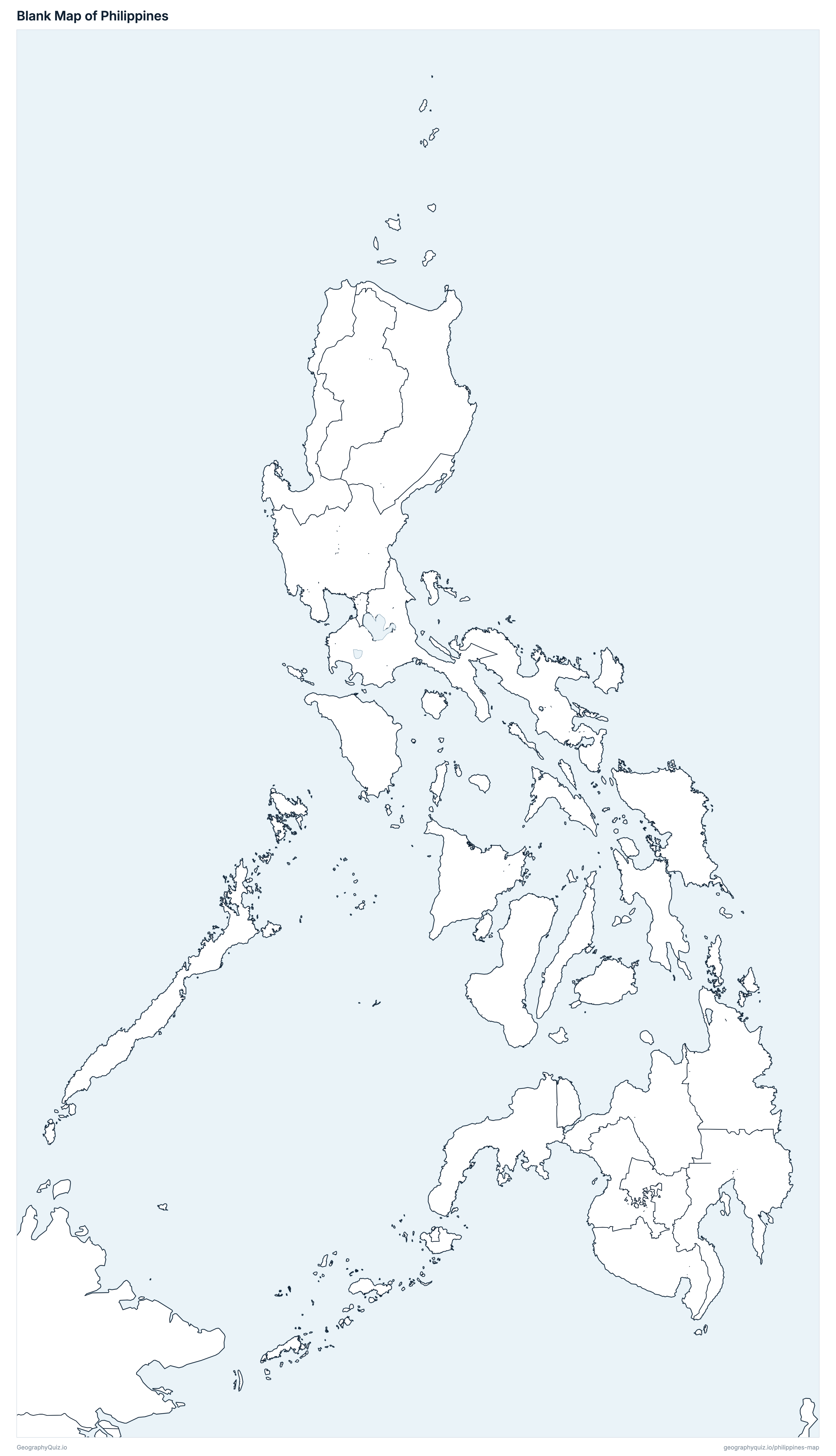
Free to print for class and home: the Philippines with its cities and towns, a map of its regions, and a blank outline map. PDFs fit one A4 or US Letter page.
Philippines map with cities
Philippines regions map
About the Philippines
The Philippines has 18 regions and about 112,727,776 people (2024) on 322,139 km² (124,379 sq mi). The capital is Manila; the largest city is Quezon City, with 3,084,270 people.
Calabarzon is the most populous region (16,933,234 people) and Cordillera Administrative Region the least (1,808,985); Cagayan Valley is the largest by area (30,987 km²) and National Capital Region the smallest (621 km²).
Largest cities in the Philippines
The 25 most populous cities and towns. All 213 are on the map above: switch on Towns and zoom in to see them.
| # | City | Region | Population |
|---|---|---|---|
| 1 | Quezon City | National Capital Region | 3,084,270 |
| 2 | Manila | National Capital Region | 1,902,590 |
| 3 | Davao City | Davao Region | 1,848,947 |
| 4 | Caloocan | National Capital Region | 1,712,945 |
| 5 | Taguig | National Capital Region | 1,308,085 |
| 6 | Zamboanga City | Zamboanga Peninsula | 1,018,849 |
| 7 | Cebu City | Central Visayas | 965,332 |
| 8 | Antipolo | Calabarzon | 913,712 |
| 9 | Pasig | National Capital Region | 853,050 |
| 10 | Dasmariñas | Calabarzon | 744,511 |
| 11 | Cagayan de Oro | Northern Mindanao | 741,617 |
| 12 | Valenzuela | National Capital Region | 725,173 |
| 13 | General Santos | Soccsksargen | 722,059 |
| 14 | Parañaque | National Capital Region | 703,245 |
| 15 | San Jose del Monte | Central Luzon | 685,688 |
| 16 | Bacoor | Calabarzon | 661,381 |
| 17 | Bacolod | Negros Island Region | 624,787 |
| 18 | Las Piñas | National Capital Region | 615,549 |
| 19 | Biñan | Calabarzon | 584,479 |
| 20 | Calamba | Calabarzon | 575,046 |
| 21 | Muntinlupa | National Capital Region | 552,225 |
| 22 | Lapu-Lapu | Central Visayas | 497,813 |
| 23 | Angeles | Central Luzon | 483,452 |
| 24 | General Trias | Calabarzon | 482,453 |
| 25 | Imus | Calabarzon | 481,949 |
Populations are from the PSA's 2024 Census of Population (1 July 2024), in the 18 regions of the PSGC: the Negros Island Region (re-established in 2024) is shown, and Sulu is counted in the Zamboanga Peninsula. The total leaves out the 1,708 Filipinos in Philippine embassies, consulates and missions abroad (112,729,484 with them). Places are cities and municipalities of 100,000 people or more, counted within their city limits, and every highly urbanized city; Manila is the capital, and Quezon City is the largest city.
Regions of the Philippines
All 18 regions. Select one to show it on the map.
| Cotabato City | 4,545,486 | 14,478 | |
| Legazpi | 6,064,426 | 18,007 | |
| Tuguegarao | 3,777,608 | 30,987 | |
| Calamba | 16,933,234 | 15,470 | |
| Butuan | 2,865,196 | 21,820 | |
| San Fernando | 12,989,074 | 22,648 | |
| Cebu City | 6,640,875 | 8,975 | |
| Baguio | 1,808,985 | 21,116 | |
| Davao City | 5,389,422 | 21,733 | |
| Tacloban | 4,625,929 | 21,017 | |
| San Fernando | 5,342,453 | 12,831 | |
| Calapan | 3,245,446 | 29,063 | |
| Manila | 14,001,751 | 621 | |
| 4,904,944 | 13,553 | ||
| Cagayan de Oro | 5,178,326 | 18,623 | |
| Koronadal | 4,462,776 | 20,263 | |
| Iloilo City | 4,861,911 | 12,642 | |
| Pagadian | 5,089,934 | 18,291 |
Quizzes and worksheets
Sources
- Populations and land areas: Philippine Statistics Authority (PSA), 2024 Census of Population, table 0221A6DLPD0 by region, province/highly urbanized city and city/municipality, with PSGC codes (openstat.psa.gov.ph); land areas from the Land Management Bureau (DENR) 2019 masterlist.
- Region boundaries and city and municipality locations: PSA and NAMRIA administrative boundaries, as published by UN OCHA on HDX (Philippines – Subnational Administrative Boundaries, COD-AB version 03, 2025), regrouped into the 18 regions of the PSGC.
- Expressways and primary national roads: Department of Public Works and Highways (DPWH), Road Classification (national road network, January 2026).