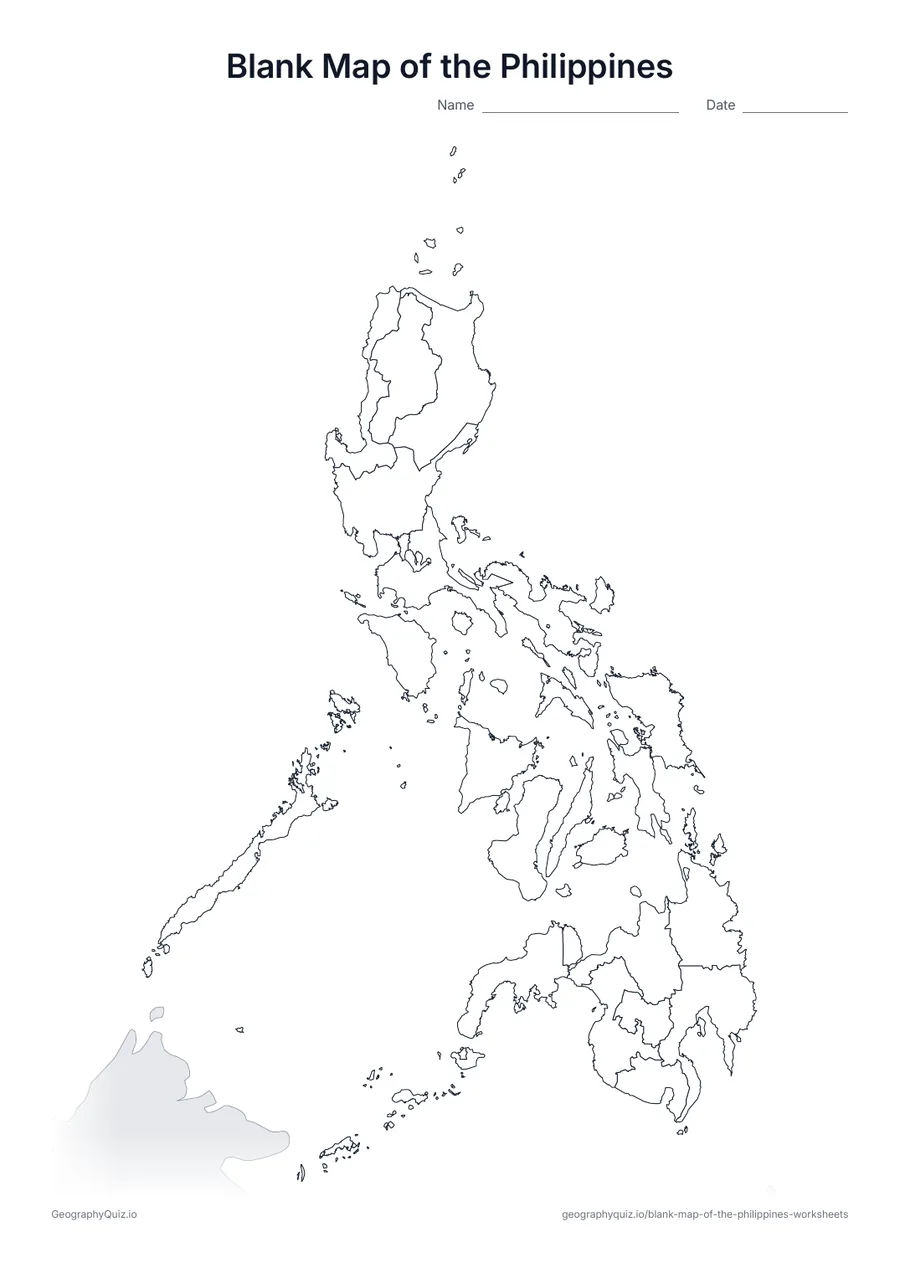
A4 portrait · 1 page · Outline map
Blank Map of the Philippines
An outline map of the Philippines showing the borders of all 18 regions, with neighbouring countries shaded grey.
Free teacher resource
Printable maps of the 18 administrative regions of the Philippines, from the Ilocos Region and the Cordillera in northern Luzon to Bangsamoro in Mindanao. They include the latest changes: the Negros Island Region, re-created in 2024 from Negros Occidental, Negros Oriental and Siquijor, and Sulu, which became part of the Zamboanga Peninsula in 2025 after the Supreme Court ruled it out of Bangsamoro.
Every sheet comes as an A4 and a US Letter PDF.Print it, then play itExplore the interactive Asia map
A4 portrait · 1 page · Outline map
An outline map of the Philippines showing the borders of all 18 regions, with neighbouring countries shaded grey.
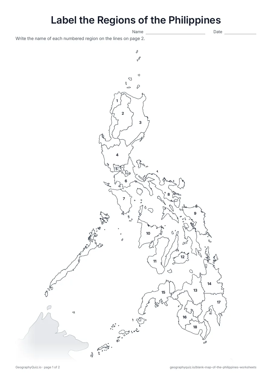
A4 portrait · 2 pages · 18 to label
Each of the 18 regions is numbered. Pupils write the names on the numbered lines.
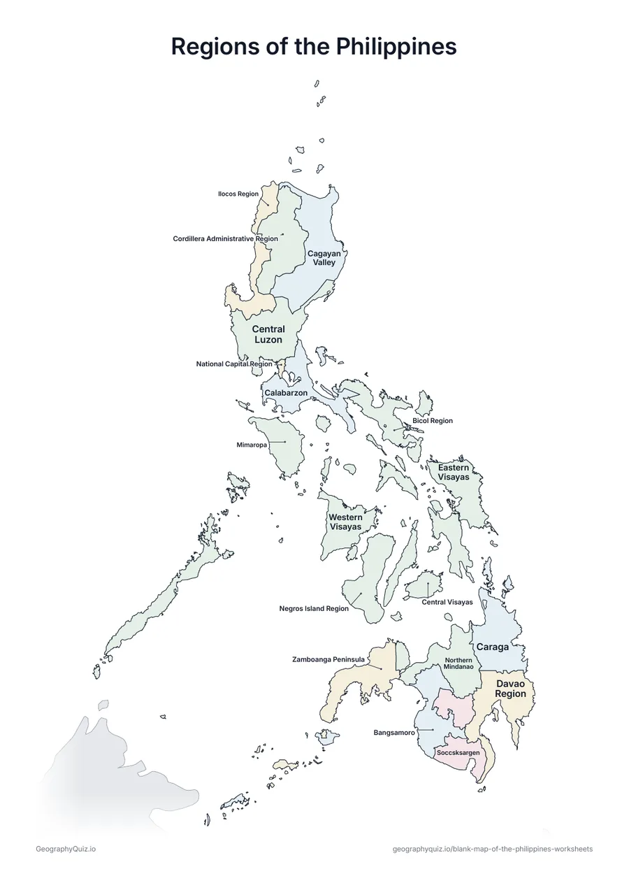
A4 portrait · 1 page · Reference map
A map of the Philippines with every name printed on it – a reference sheet for teaching and for checking answers.
For teachers
Regions group the provinces and are how most Filipino schoolbooks divide the country into Luzon, the Visayas and Mindanao. Metro Manila (the National Capital Region) is tiny at this scale and is numbered with a leader line. There is no capitals sheet, because several regions have no single official regional centre. The Kalayaan Island Group in the Spratlys is not shown.
On the label-it and capitals sheets, pupils write the names on the numbered lines – or, where there are ten places or fewer, in the empty answer box joined to each place; the labelled map doubles as a reference sheet. All sheets are crisp black line maps with light shading, so they photocopy and print cleanly in black and white.
Print it, then play it