Interactive map
New Zealand Map
Every region, city and town in New Zealand on one zoomable map, with its main highways, rivers and lakes. Switch on towns and regions above the map and zoom in for every name; tap a region to see its population, area and largest towns.
Loading the map…
Printable maps of New Zealand
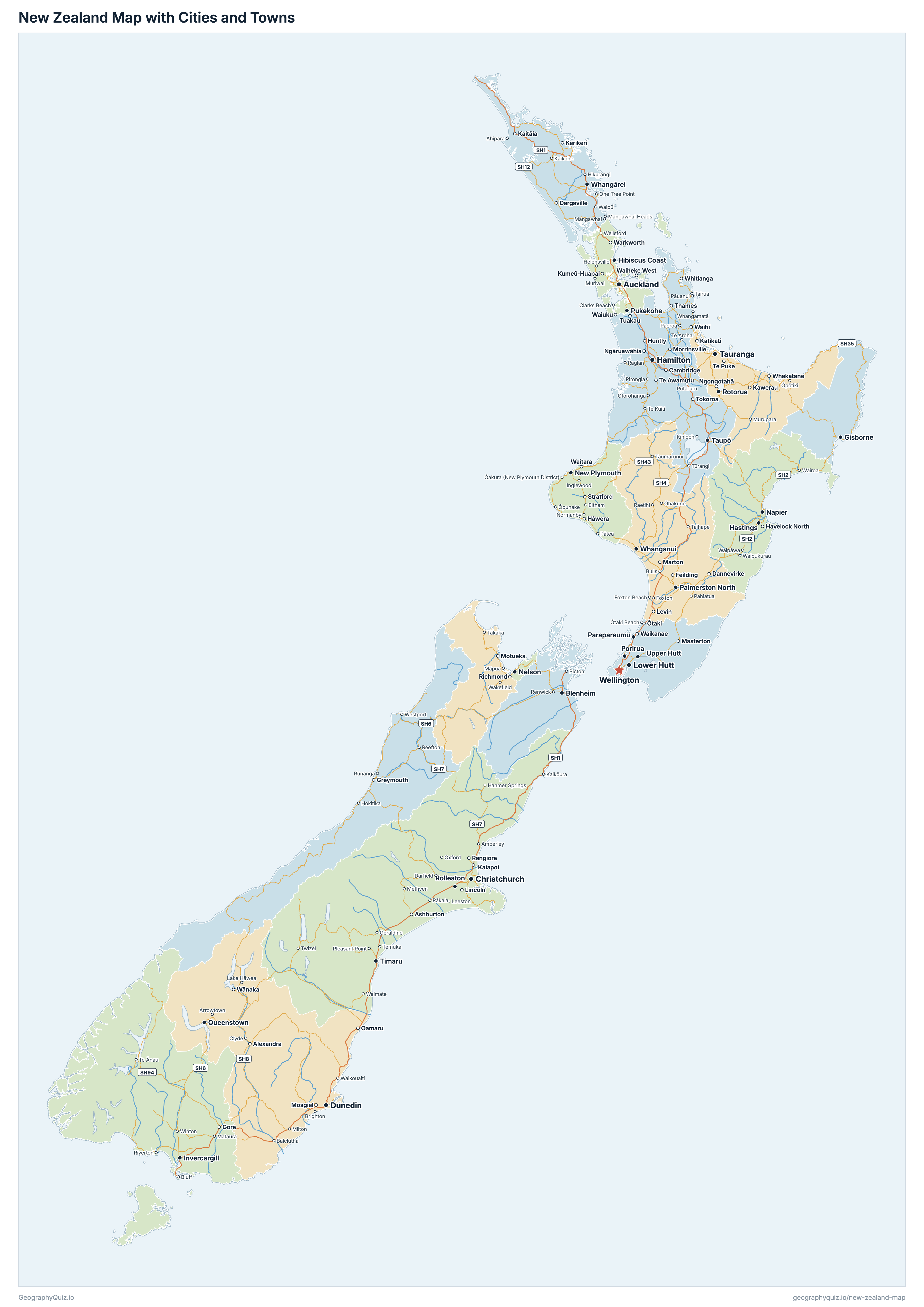
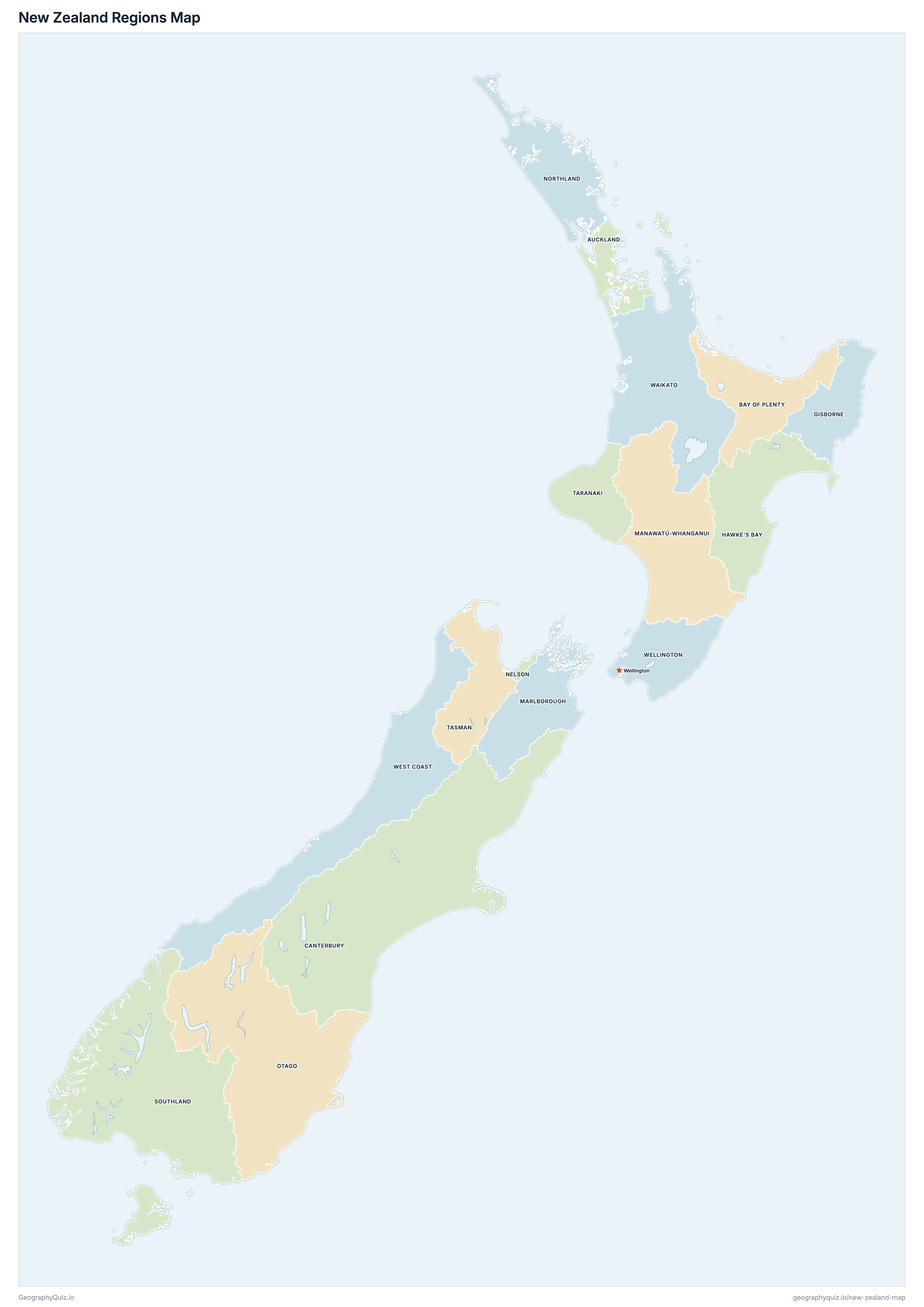
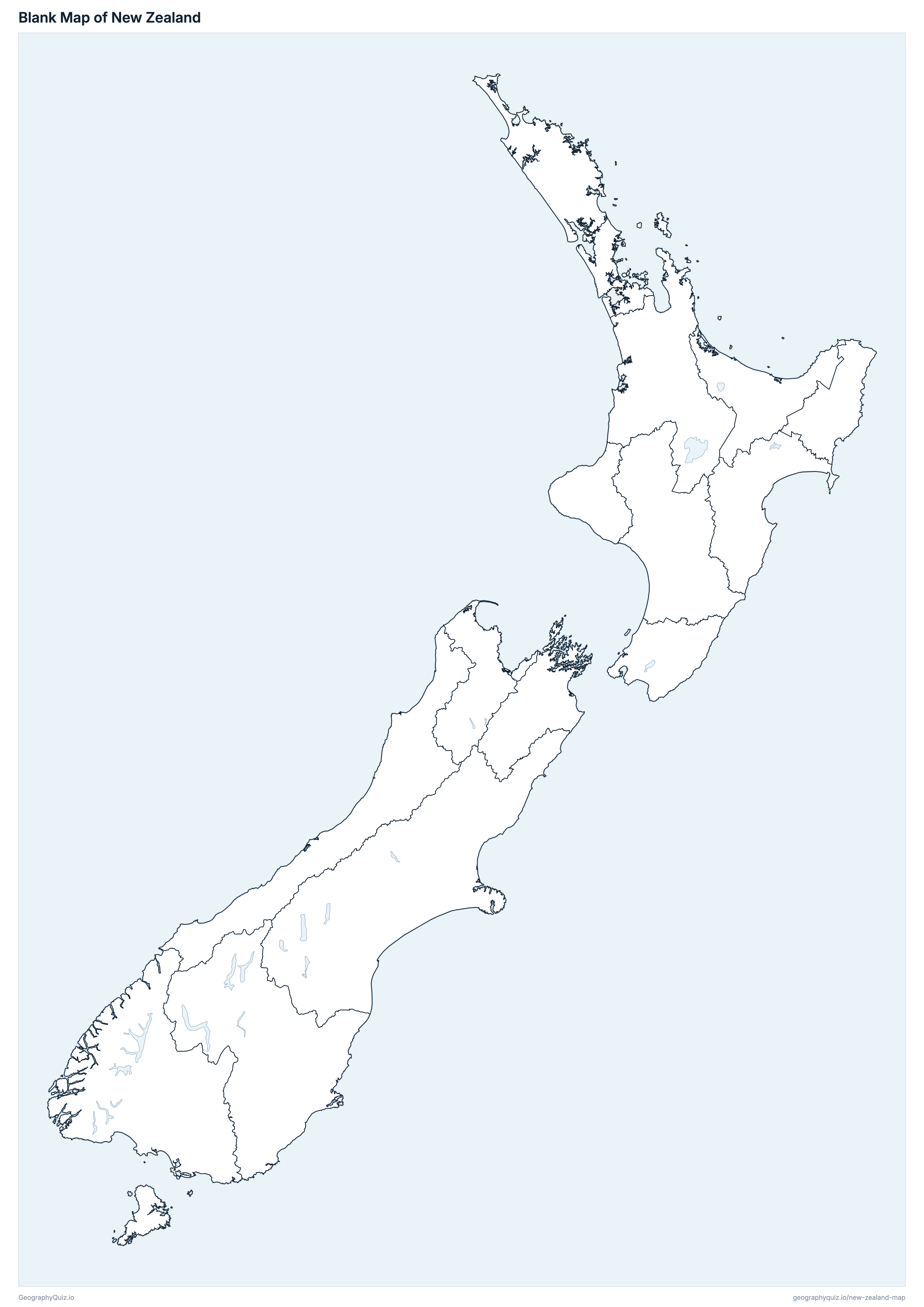
Free to print for class and home: New Zealand with its cities and towns, a map of its regions, and a blank outline map. PDFs fit one A4 or US Letter page.
New Zealand map with cities
New Zealand regions map
About New Zealand
New Zealand has 16 regions and about 5,324,700 people (2025) on 264,136 km² (101,983 sq mi). The capital is Wellington; the largest city is Auckland, with 1,402,272 people (2023).
Auckland is the most populous region (1,816,000 people) and West Coast the least (34,700); Canterbury is the largest by area (44,506 km²) and Nelson the smallest (422 km²).
Largest cities in New Zealand
The 25 most populous cities and towns. All 195 are on the map above: switch on Towns and zoom in to see them.
| # | City | Region | Population |
|---|---|---|---|
| 1 | Auckland | Auckland | 1,402,272 |
| 2 | Christchurch | Canterbury | 380,106 |
| 3 | Wellington | Wellington | 201,690 |
| 4 | Hamilton | Waikato | 175,104 |
| 5 | Tauranga | Bay of Plenty | 152,802 |
| 6 | Lower Hutt | Wellington | 106,530 |
| 7 | Dunedin | Otago | 100,884 |
| 8 | Palmerston North | Manawatū-Whanganui | 78,207 |
| 9 | Napier | Hawke's Bay | 64,881 |
| 10 | Hibiscus Coast | Auckland | 63,321 |
| 11 | Porirua | Wellington | 58,044 |
| 12 | New Plymouth | Taranaki | 57,999 |
| 13 | Rotorua | Bay of Plenty | 55,338 |
| 14 | Whangārei | Northland | 53,826 |
| 15 | Nelson | Nelson | 49,182 |
| 16 | Invercargill | Southland | 48,975 |
| 17 | Hastings | Hawke's Bay | 47,847 |
| 18 | Upper Hutt | Wellington | 42,900 |
| 19 | Whanganui | Manawatū-Whanganui | 41,604 |
| 20 | Gisborne | Gisborne | 37,185 |
| 21 | Paraparaumu | Wellington | 28,944 |
| 22 | Blenheim | Marlborough | 28,890 |
| 23 | Rolleston | Canterbury | 28,443 |
| 24 | Timaru | Canterbury | 28,098 |
| 25 | Pukekohe | Auckland | 27,054 |
Regional and national populations are Stats NZ's provisional estimates at 30 June 2025 (New Zealand 5,324,700, of which 600 live outside any region, mostly in the Chatham Islands, which are off the map); town populations are 2023 Census counts for Stats NZ's urban areas.
Regions of New Zealand
All 16 regions. Select one to show it on the map.
| Unitary authority region | 1,816,000 | 4,940 | |
| Region | 351,500 | 12,072 | |
| Region | 698,200 | 44,506 | |
| Unitary authority region | 52,700 | 8,385 | |
| Region | 179,700 | 14,139 | |
| Region | 260,700 | 22,221 | |
| Unitary authority region | 50,800 | 10,458 | |
| Unitary authority region | 54,300 | 422 | |
| Region | 201,100 | 12,507 | |
| Region | 253,900 | 31,185 | |
| Region | 104,800 | 31,234 | |
| Region | 130,300 | 7,254 | |
| Unitary authority region | 59,900 | 9,616 | |
| Region | 532,100 | 23,901 | |
| Region | 543,400 | 8,049 | |
| Region | 34,700 | 23,247 |
Quizzes and worksheets
Sources
- Regions: Stats NZ, Regional Council 2025 boundaries, clipped to the coastline with Stats NZ's clipped regional council layer.
- Region and national populations: Stats NZ, Subnational population estimates at 30 June 2025 (provisional).
- Towns: Stats NZ, urban areas of the Urban Rural 2023 classification, with their 2023 Census usually resident population counts (summed from the SA1s inside each).
- State highways: NZ Transport Agency Waka Kotahi, Arataki State Highway Network 2025.