Interactive map
Denmark Map
Every region, city and town in Denmark on one zoomable map, with its main highways, rivers and lakes. Switch on towns and regions above the map and zoom in for every name; tap a region to see its population, area and largest towns.
Loading the map…
Printable maps of Denmark
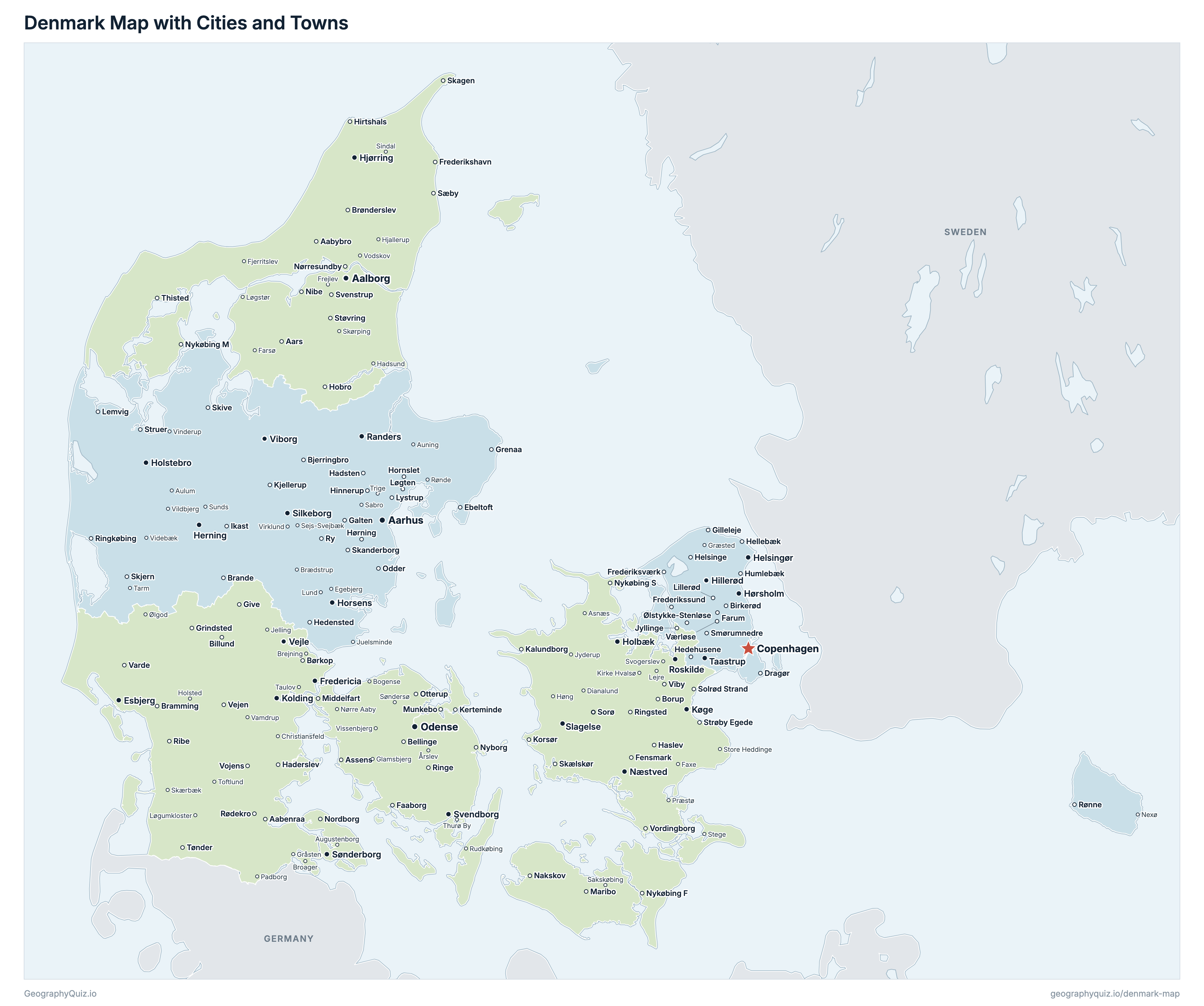
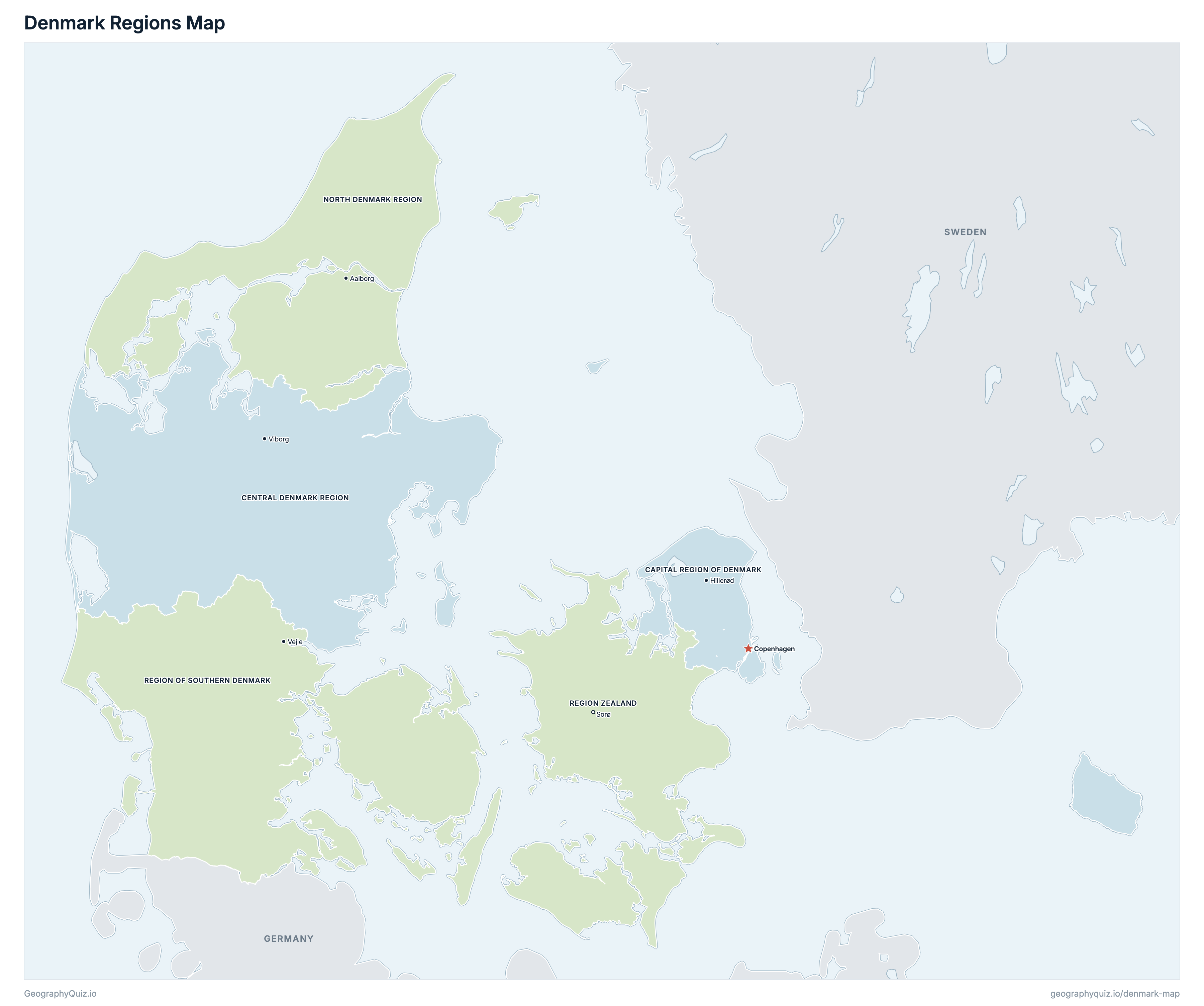
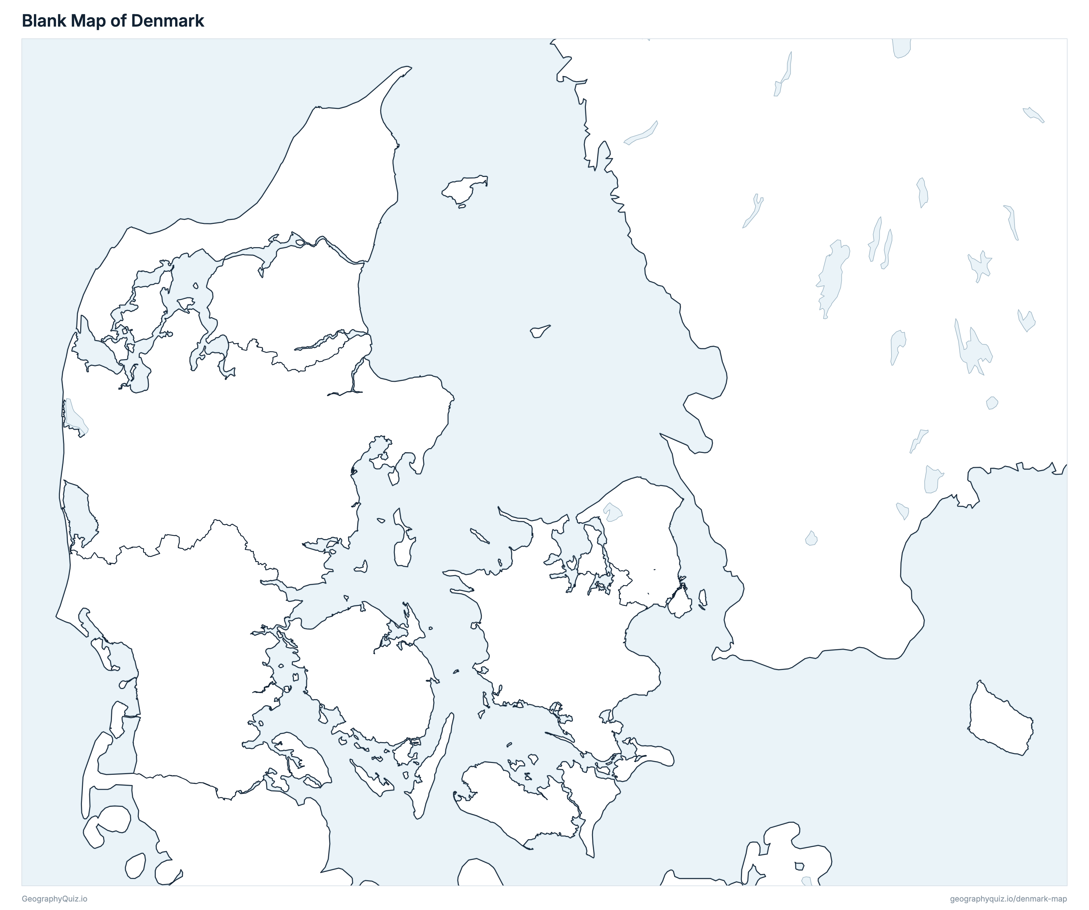
Free to print for class and home: Denmark with its cities and towns, a map of its regions, and a blank outline map. PDFs fit one A4 or US Letter page.
Denmark map with cities
Denmark regions map
About Denmark
Denmark has 5 regions and about 6,025,603 people (2026) on 42,957 km² (16,586 sq mi). Copenhagen is both the capital and the largest city, with 1,408,575 people. It borders Germany.
Capital Region of Denmark is the most populous region (1,947,212 people) and North Denmark Region the least (593,114); Central Denmark Region is the largest by area (13,014 km²) and Capital Region of Denmark the smallest (2,564 km²).
Largest cities in Denmark
The 25 most populous cities and towns. All 213 are on the map above: switch on Towns and zoom in to see them.
| # | City | Region | Population |
|---|---|---|---|
| 1 | Copenhagen | Capital Region of Denmark | 1,408,575 |
| 2 | Aarhus | Central Denmark Region | 305,227 |
| 3 | Odense | Region of Southern Denmark | 187,558 |
| 4 | Aalborg | North Denmark Region | 122,550 |
| 5 | Esbjerg | Region of Southern Denmark | 71,371 |
| 6 | Horsens | Central Denmark Region | 65,037 |
| 7 | Randers | Central Denmark Region | 64,764 |
| 8 | Kolding | Region of Southern Denmark | 63,664 |
| 9 | Vejle | Region of Southern Denmark | 62,153 |
| 10 | Roskilde | Region Zealand | 53,897 |
| 11 | Silkeborg | Central Denmark Region | 53,058 |
| 12 | Herning | Central Denmark Region | 52,264 |
| 13 | Hørsholm | Capital Region of Denmark | 48,797 |
| 14 | Helsingør | Capital Region of Denmark | 48,450 |
| 15 | Næstved | Region Zealand | 45,522 |
| 16 | Viborg | Central Denmark Region | 44,021 |
| 17 | Fredericia | Region of Southern Denmark | 41,761 |
| 18 | Køge | Region Zealand | 38,840 |
| 19 | Taastrup | Capital Region of Denmark | 38,328 |
| 20 | Holstebro | Central Denmark Region | 37,533 |
| 21 | Hillerød | Capital Region of Denmark | 36,873 |
| 22 | Slagelse | Region Zealand | 36,140 |
| 23 | Holbæk | Region Zealand | 31,112 |
| 24 | Sønderborg | Region of Southern Denmark | 28,564 |
| 25 | Svendborg | Region of Southern Denmark | 27,593 |
Populations are Statistics Denmark's population on 1 January 2026; towns are Statistics Denmark's urban areas (byer), so a city includes its suburbs: Copenhagen is the Greater Copenhagen urban area (Hovedstadsområdet) across 18 municipalities. The map shows Denmark proper, without Greenland and the Faroe Islands.
Regions of Denmark
All 5 regions. Select one to show it on the map.
| Hillerød | 1,947,212 | 2,564 | |
| Viborg | 1,383,261 | 13,014 | |
| Aalborg | 593,114 | 7,885 | |
| Vejle | 1,243,914 | 12,267 | |
| Sorø | 858,102 | 7,227 |
Quizzes and worksheets
Sources
- Regions, municipalities and urban areas: Statistics Denmark (Danmarks Statistik), StatBank map of urban areas and rural districts (denmark_cities_19), based on map data (DAGI 2019Q1) from SDFE, statbank.dk.
- Populations: Statistics Denmark, StatBank tables FOLK1A (population on 1 January 2026 by region) and BY3 (population on 1 January 2026 by urban area), api.statbank.dk.
- Areas: Statistics Denmark, StatBank table ARE207 (area by region, 2026).