A4 portrait · 1 page · Outline map
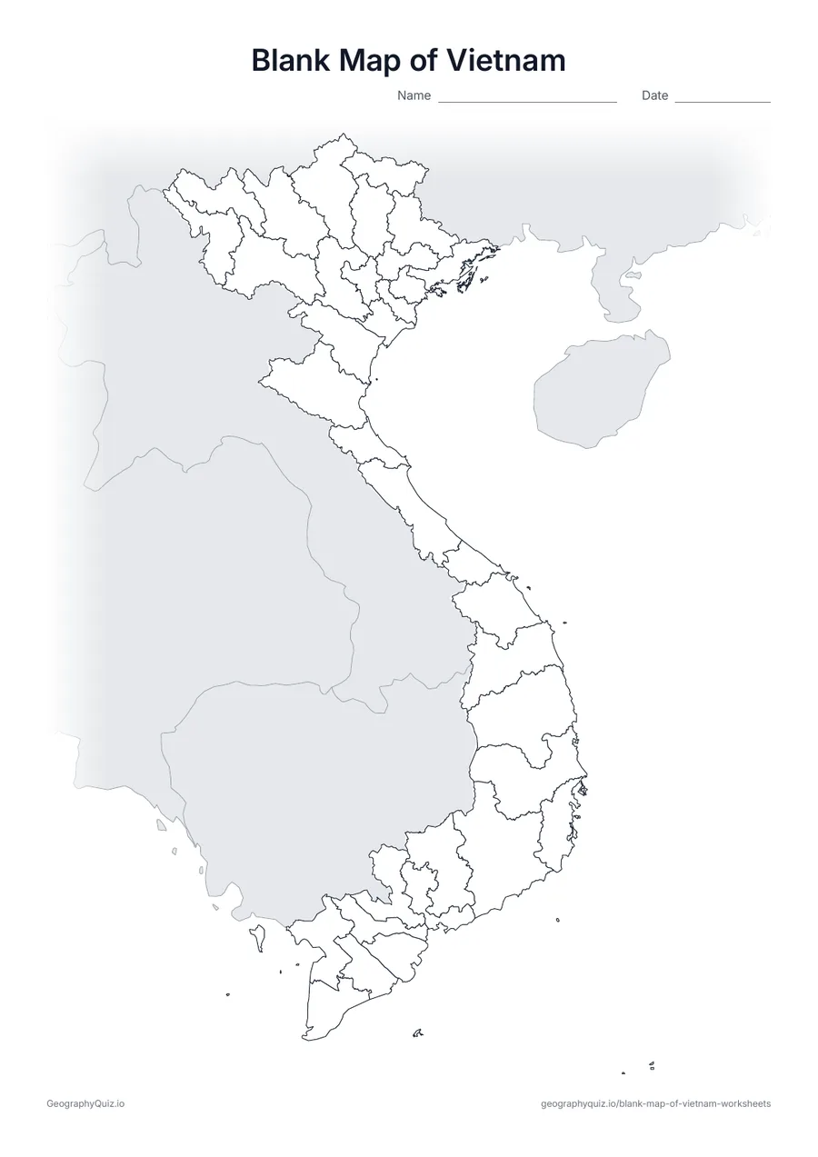
Blank Map of Vietnam
An outline map of Vietnam showing the borders of all 28 provinces and 6 cities, with neighbouring countries shaded grey.
Free teacher resource
Printable maps of Vietnam's 34 provinces and centrally run cities, as redrawn on 1 July 2025, when the 63 old provinces were merged into 28 provinces and 6 cities. Many familiar names disappeared from the map – Ha Giang is now part of Tuyen Quang and Binh Duong part of Ho Chi Minh City – so these sheets replace any map printed before mid-2025.
Every sheet comes as an A4 and a US Letter PDF.Print it, then play itExplore the interactive Asia map
A4 portrait · 1 page · Outline map
An outline map of Vietnam showing the borders of all 28 provinces and 6 cities, with neighbouring countries shaded grey.
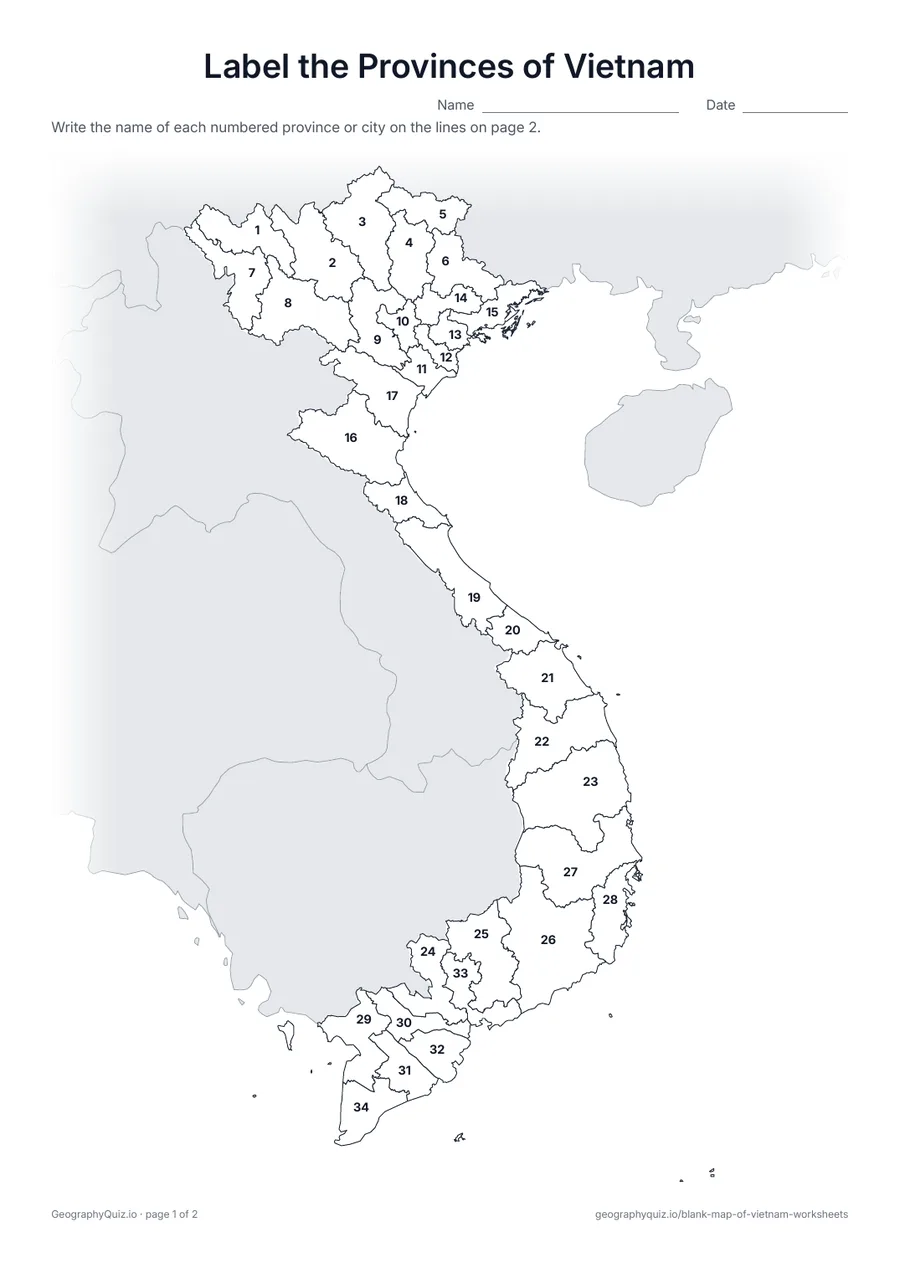
A4 portrait · 2 pages · 34 to label
All 28 provinces and 6 cities are numbered. Pupils write the names on the numbered lines.
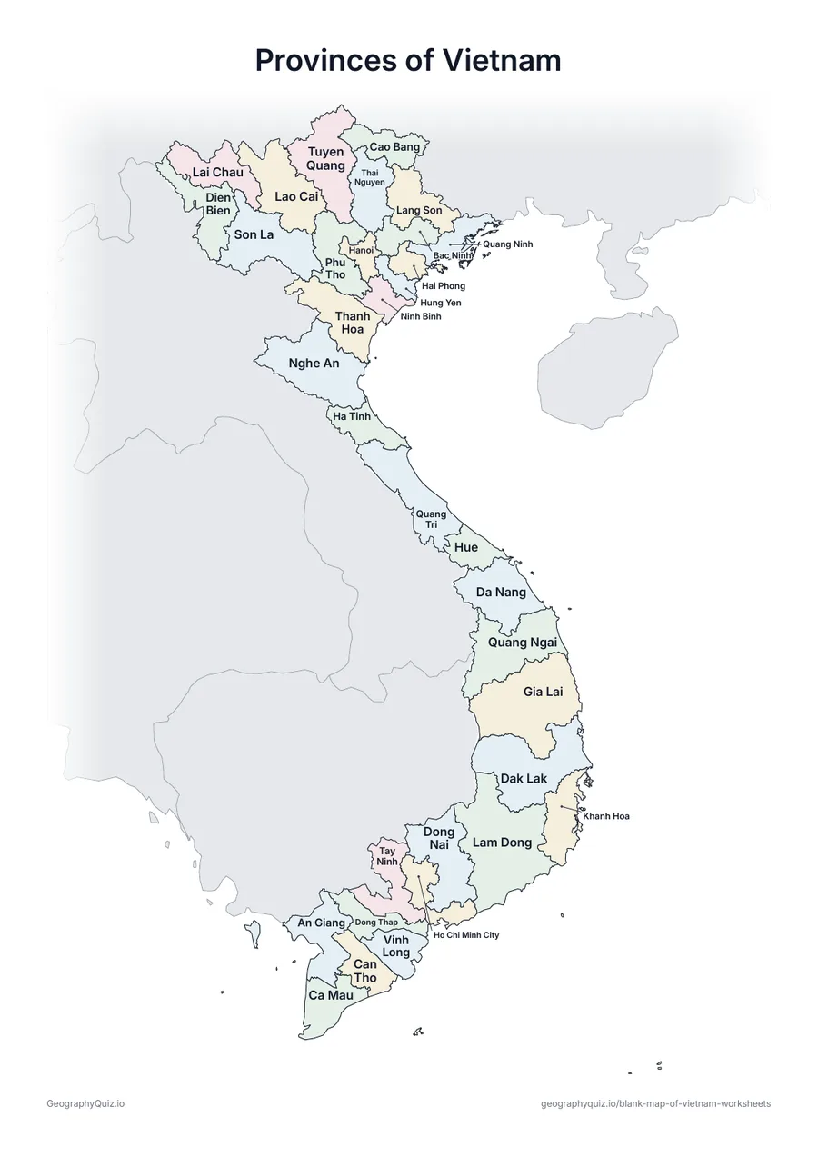
A4 portrait · 1 page · Reference map
A map of Vietnam with every name printed on it – a reference sheet for teaching and for checking answers.
For teachers
The six cities – Hanoi, Hue, Hai Phong, Da Nang, Ho Chi Minh City and Can Tho – are numbered like the provinces; since the merger they take in large rural areas. There is no capitals sheet, because the reform also abolished districts and moved several provincial seats. The Paracel and Spratly Islands are not shown.
On the label-it and capitals sheets, pupils write the names on the numbered lines – or, where there are ten places or fewer, in the empty answer box joined to each place; the labelled map doubles as a reference sheet. All sheets are crisp black line maps with light shading, so they photocopy and print cleanly in black and white.
Print it, then play it