Interactive map
Belgium Map
Every province, city and town in Belgium on one zoomable map, with its main highways, rivers and lakes. Switch on towns and provinces above the map and zoom in for every name; tap a province to see its population, area and largest towns.
Loading the map…
Printable maps of Belgium
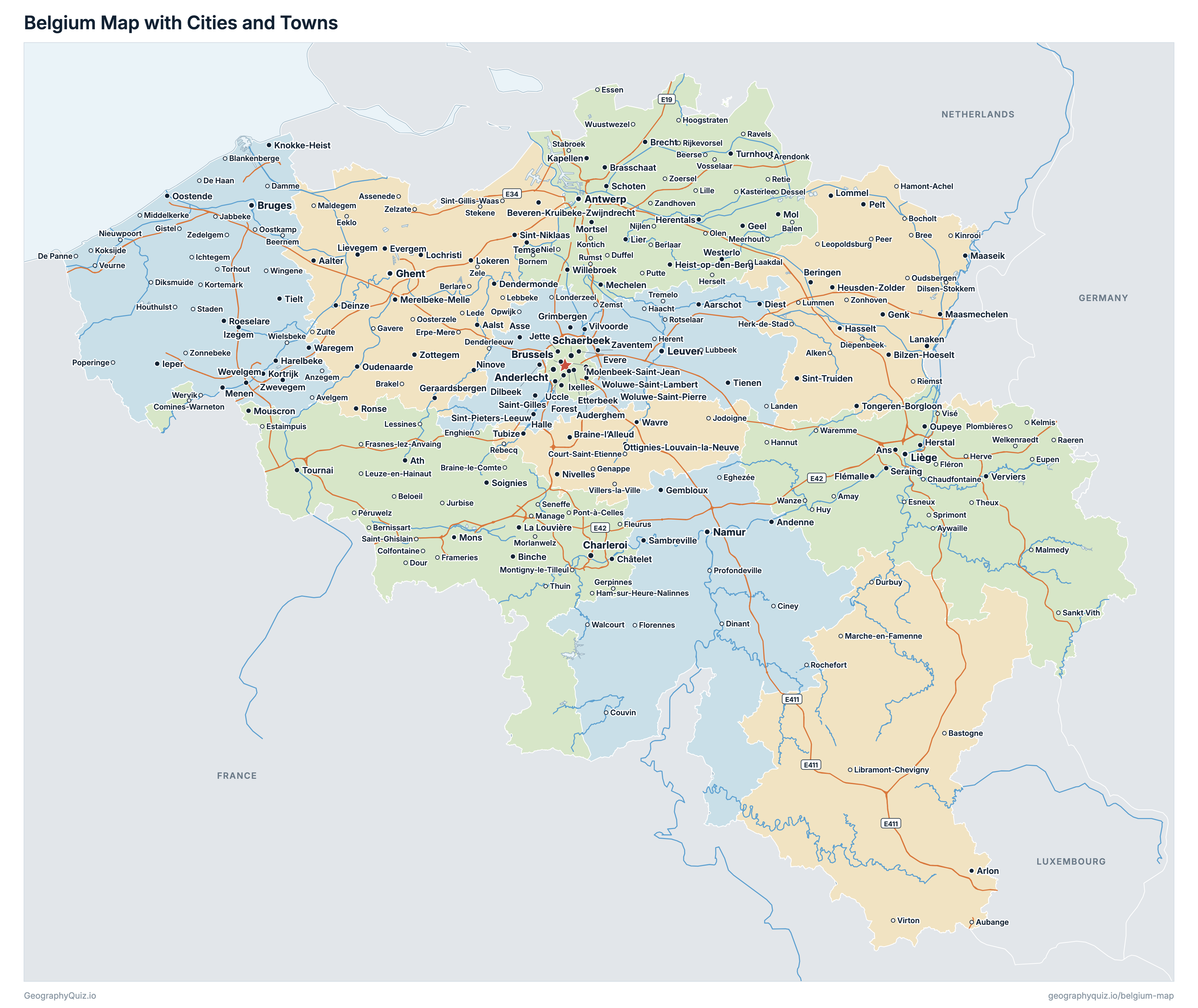
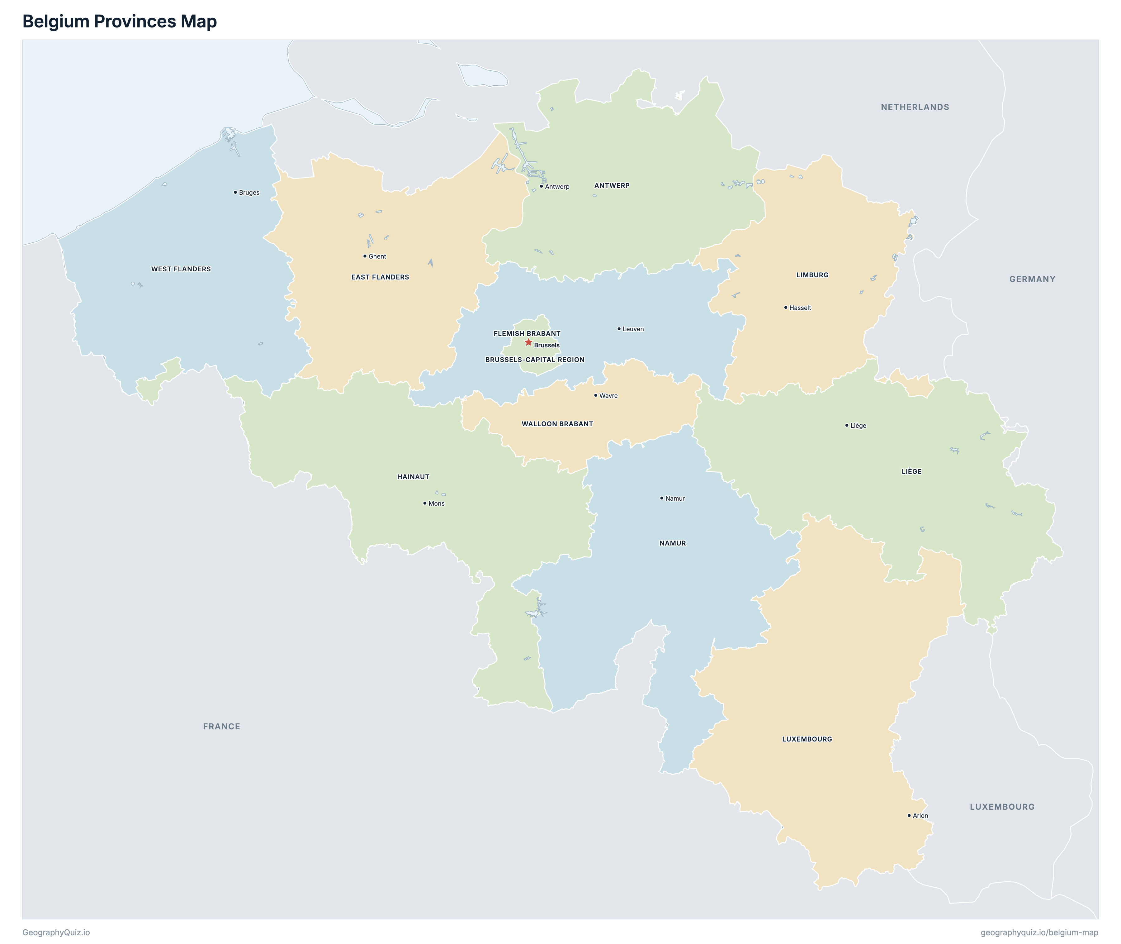
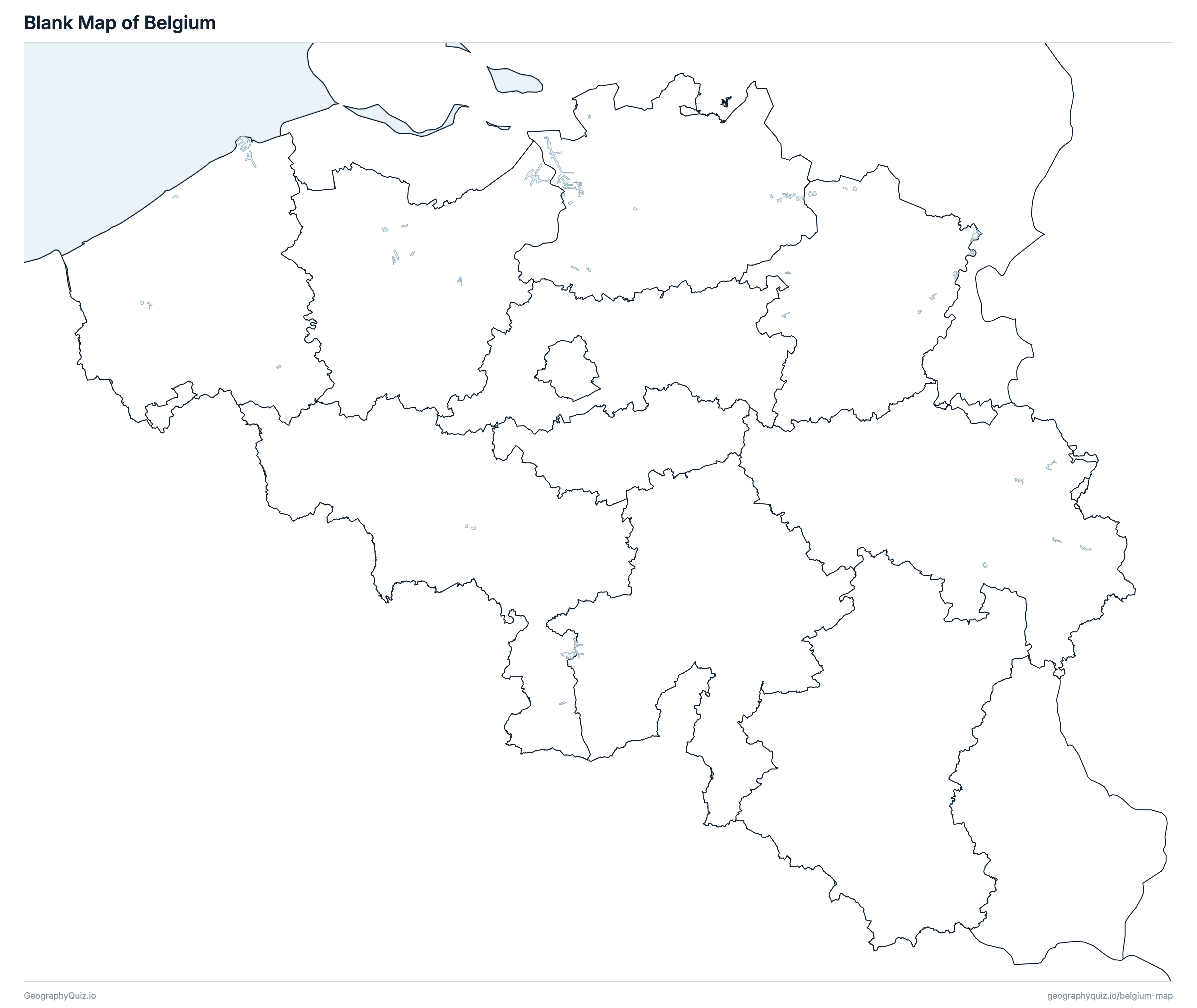
Free to print for class and home: Belgium with its cities and towns, a map of its provinces, and a blank outline map. PDFs fit one A4 or US Letter page.
Belgium map with cities
Belgium provinces map
About Belgium
Belgium has 11 provinces and about 11,867,634 people (2026) on 30,690 km² (11,849 sq mi). The capital is Brussels; the largest city is Antwerp, with 565,615 people. It borders Netherlands, Germany, Luxembourg and France.
Antwerp is the most populous province (1,931,891 people) and Luxembourg the least (296,370); Luxembourg is the largest by area (4,459 km²) and Brussels-Capital Region the smallest (162 km²).
Largest cities in Belgium
The 25 most populous cities and towns. All 362 are on the map above: switch on Towns and zoom in to see them.
| # | City | Province | Population |
|---|---|---|---|
| 1 | Antwerp | Antwerp | 565,615 |
| 2 | Ghent | East Flanders | 274,042 |
| 3 | Charleroi | Hainaut | 206,900 |
| 4 | Brussels | Brussels-Capital Region | 198,674 |
| 5 | Liège | Liège | 198,102 |
| 6 | Anderlecht | Brussels-Capital Region | 129,600 |
| 7 | Schaerbeek | Brussels-Capital Region | 129,278 |
| 8 | Bruges | West Flanders | 120,458 |
| 9 | Namur | Namur | 115,457 |
| 10 | Leuven | Flemish Brabant | 105,357 |
| 11 | Molenbeek-Saint-Jean | Brussels-Capital Region | 98,411 |
| 12 | Mons | Hainaut | 97,745 |
| 13 | Aalst | East Flanders | 93,094 |
| 14 | Hasselt | Limburg | 90,914 |
| 15 | Mechelen | Antwerp | 90,355 |
| 16 | Ixelles | Brussels-Capital Region | 89,162 |
| 17 | Beveren-Kruibeke-Zwijndrecht | East Flanders | 88,344 |
| 18 | Uccle | Brussels-Capital Region | 87,548 |
| 19 | Sint-Niklaas | East Flanders | 83,400 |
| 20 | La Louvière | Hainaut | 81,751 |
| 21 | Kortrijk | West Flanders | 81,523 |
| 22 | Oostende | West Flanders | 73,000 |
| 23 | Tournai | Hainaut | 69,066 |
| 24 | Genk | Limburg | 68,101 |
| 25 | Roeselare | West Flanders | 67,697 |
Populations are Statbel's population on 1 January 2026, counted in the 565 municipalities of that day (after the 2025 mergers); towns are whole municipalities, so Brussels is the City of Brussels (one of the region's 19 municipalities), and Antwerp and Ghent include their merged former municipalities.
Provinces of Belgium
All 11 provinces. Select one to show it on the map.
| Antwerp | 1,931,891 | 2,856 | |
| Brussels | 1,255,834 | 162 | |
| Ghent | 1,611,409 | 3,027 | |
| Leuven | 1,210,797 | 2,118 | |
| Mons | 1,368,562 | 3,813 | |
| Liège | 1,125,300 | 3,857 | |
| Hasselt | 908,582 | 2,427 | |
| Arlon | 296,370 | 4,459 | |
| Namur | 506,271 | 3,675 | |
| Wavre | 416,947 | 1,097 | |
| Bruges | 1,235,671 | 3,197 |
Quizzes and worksheets
Sources
- Provinces, the Brussels-Capital Region and municipalities: Statbel (Statistics Belgium), statistical sectors on 1 January 2026 (with their areas), statbel.fgov.be open data.
- Populations: Statbel, population by place of residence, nationality, marital status, age and sex on 1 January 2026 (TF_SOC_POP_STRUCT_2026).
- Town locations: Statbel, statistical sectors 2026 and population by statistical sector on 1 January 2025.
- Motorways: National Geographic Institute (NGI-IGN), Top10Vector – Road network; lakes: NGI-IGN, Top10Vector – Hydrography.
- Rivers: Flemish Government, Vlaamse Hydrografische Atlas (VHA); Walloon Public Service, Réseau hydrographique wallon (RHW).