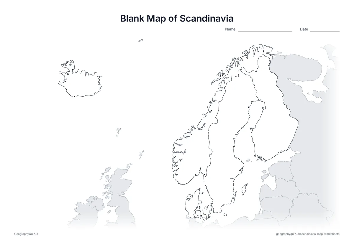
A4 landscape · 1 page · Outline map
Blank Map of Scandinavia
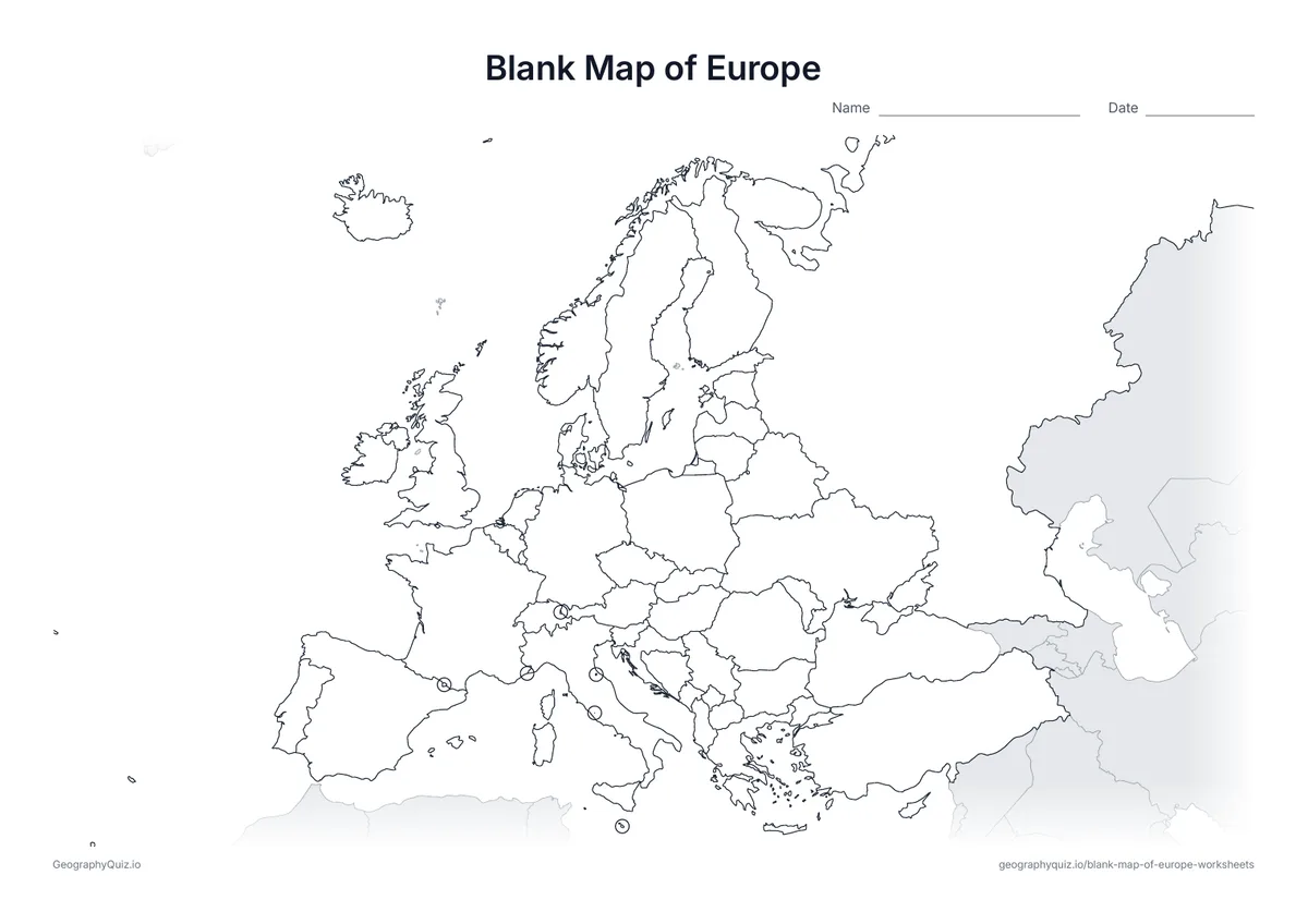
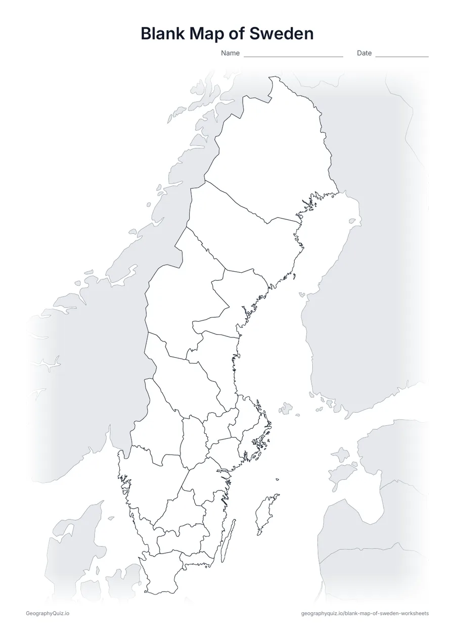
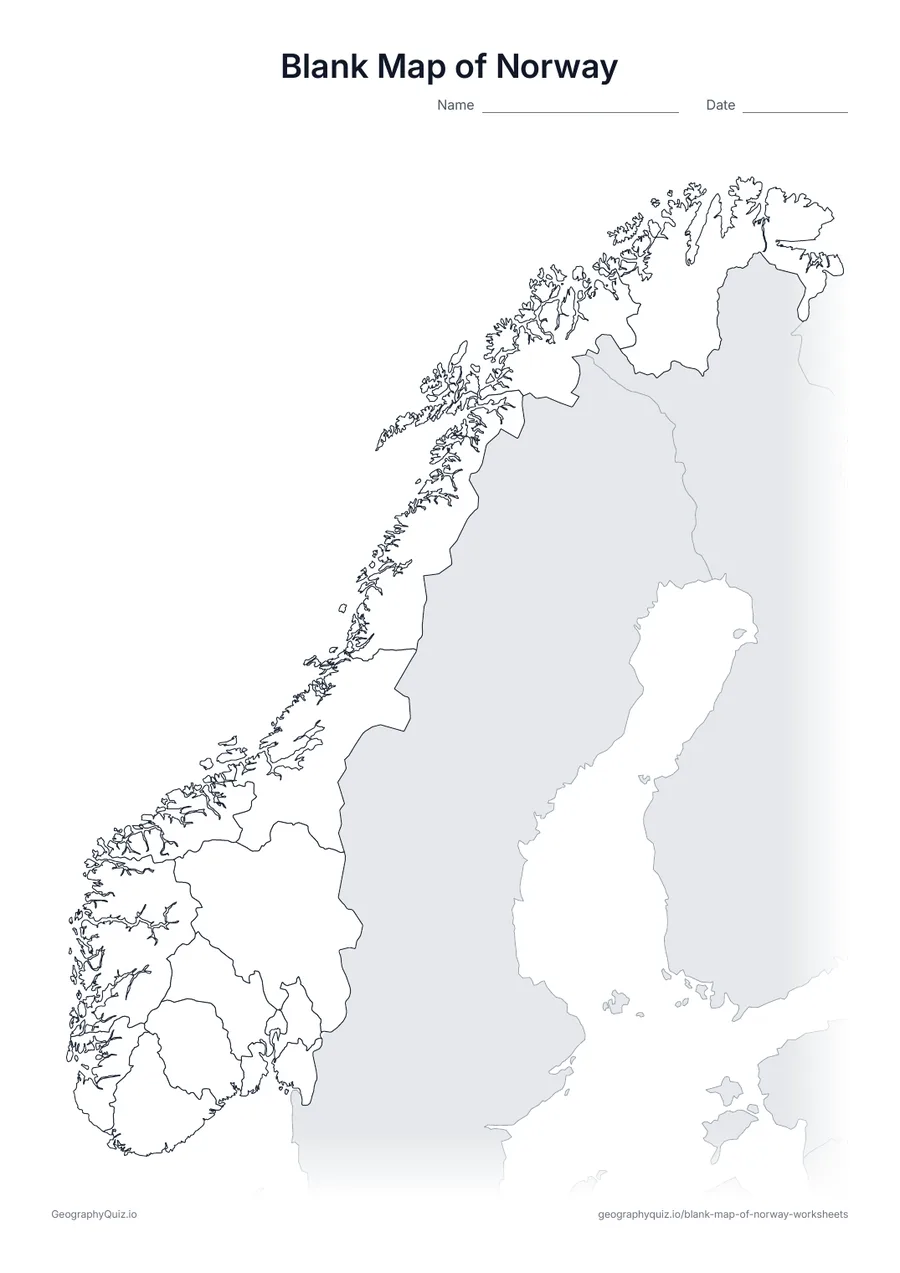
An outline map of Scandinavia and the Nordic countries with every country border and the neighbouring areas shaded grey, ready for labelling, colouring or your own activity.
Free teacher resource
Printable maps of Scandinavia and the Nordic countries – Denmark, Norway, Sweden, Finland and Iceland: a blank map, a label-the-countries sheet, a labelled map and a capitals sheet.
Every sheet comes as an A4 and a US Letter PDF.Print it, then play it
A4 landscape · 1 page · Outline map
An outline map of Scandinavia and the Nordic countries with every country border and the neighbouring areas shaded grey, ready for labelling, colouring or your own activity.
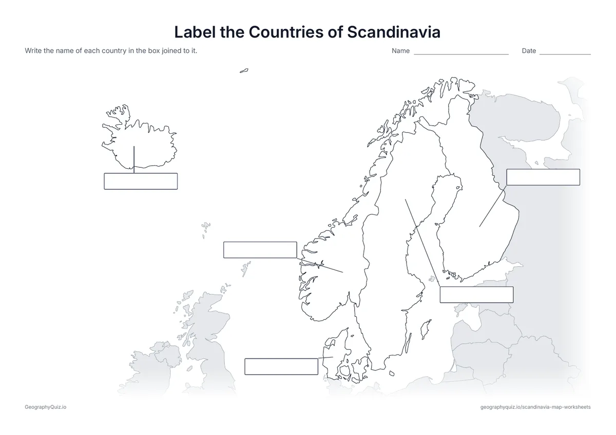
A4 landscape · 1 page · 5 to label
An empty answer box is joined to each of the 5 countries by a line, as on the world continents sheet. Pupils write the names in the boxes.
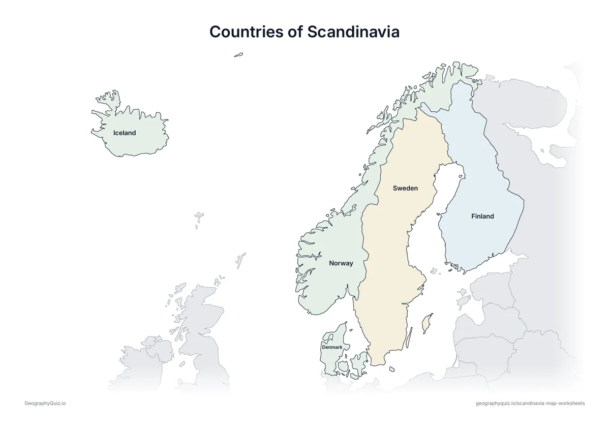
A4 landscape · 1 page · Reference map
The same map with all 5 country names printed on it, for teaching, revision or checking pupils' work.
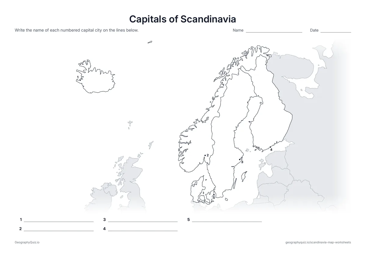
A4 landscape · 1 page · 5 capitals
Each capital city is marked with a numbered dot. Pupils write the names on the numbered lines.
For teachers
Scandinavia strictly means Denmark, Norway and Sweden; the maps also include Finland and Iceland, the other Nordic countries. Greenland and the Faroe Islands (part of the Kingdom of Denmark) are shaded grey, and Norway's Arctic islands of Svalbard lie off the top of the map.
On the label-it and capitals sheets, pupils write the names on the numbered lines – or, where there are ten places or fewer, in the empty answer box joined to each place; the labelled map doubles as a reference sheet. All sheets are crisp black line maps with light shading, so they photocopy and print cleanly in black and white.
Print it, then play it