Interactive map
Norway Map
Every county, city and town in Norway on one zoomable map, with its main highways, rivers and lakes. Switch on towns and counties above the map and zoom in for every name; tap a county to see its population, area and largest towns.
Loading the map…
Printable maps of Norway
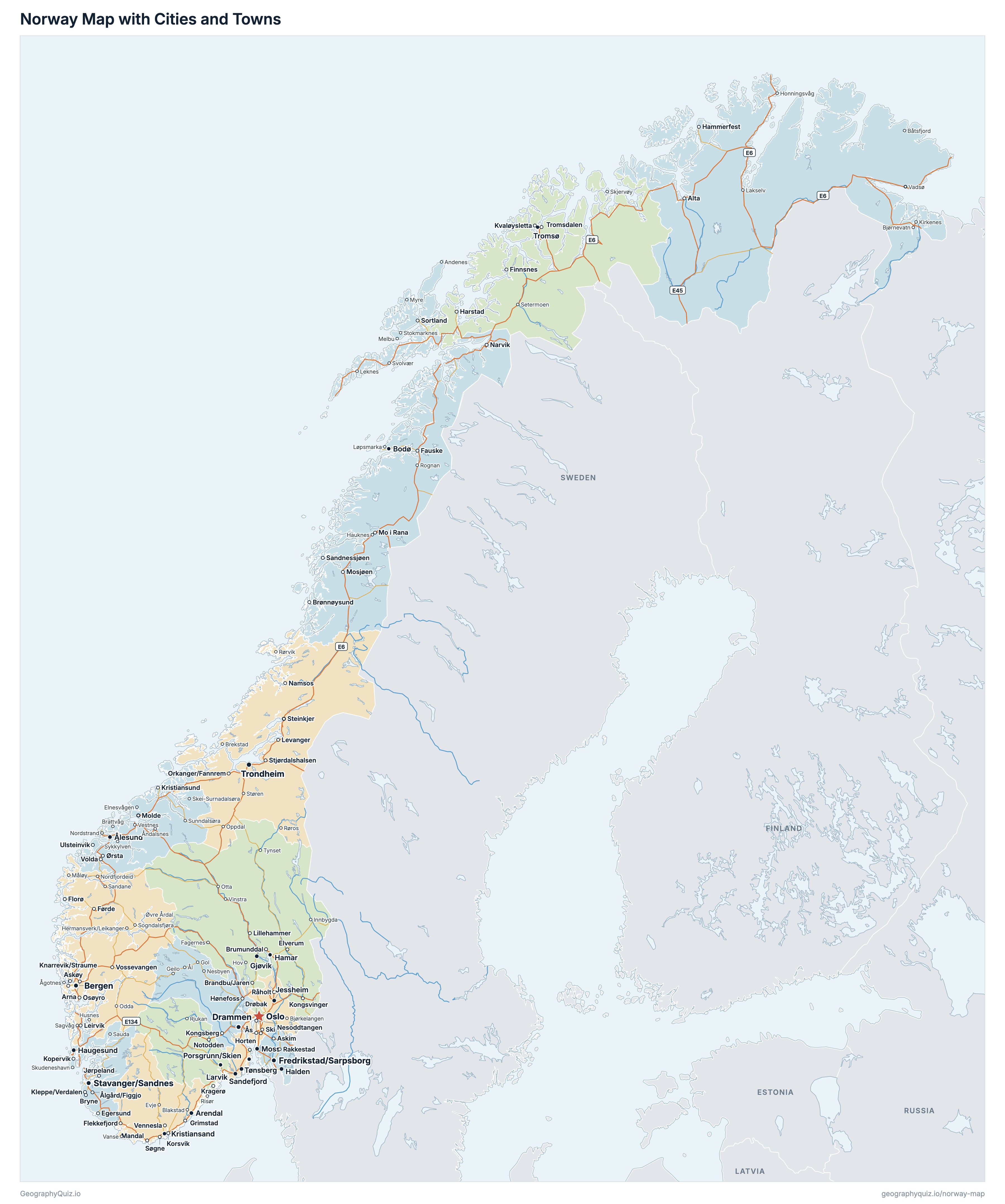
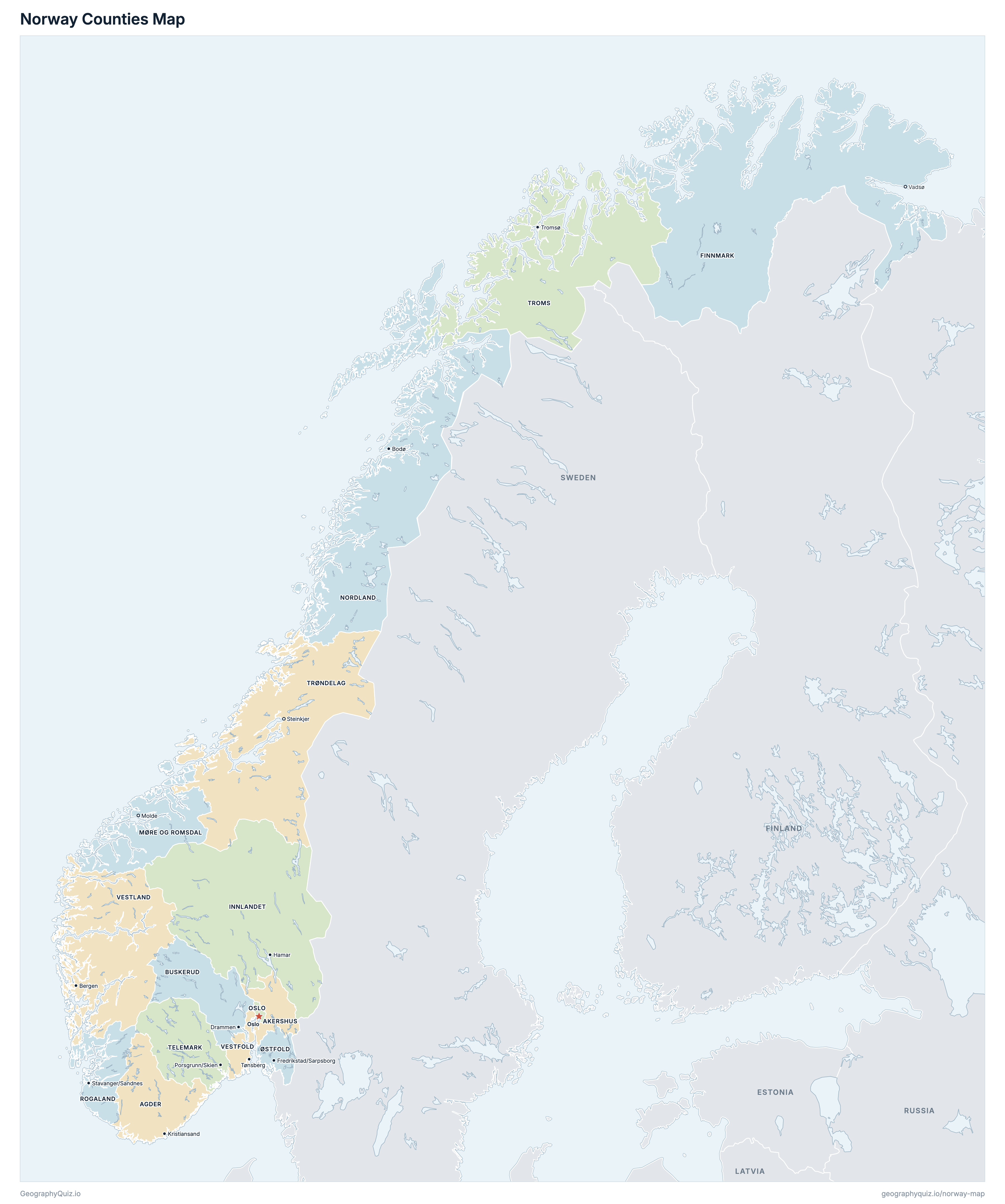
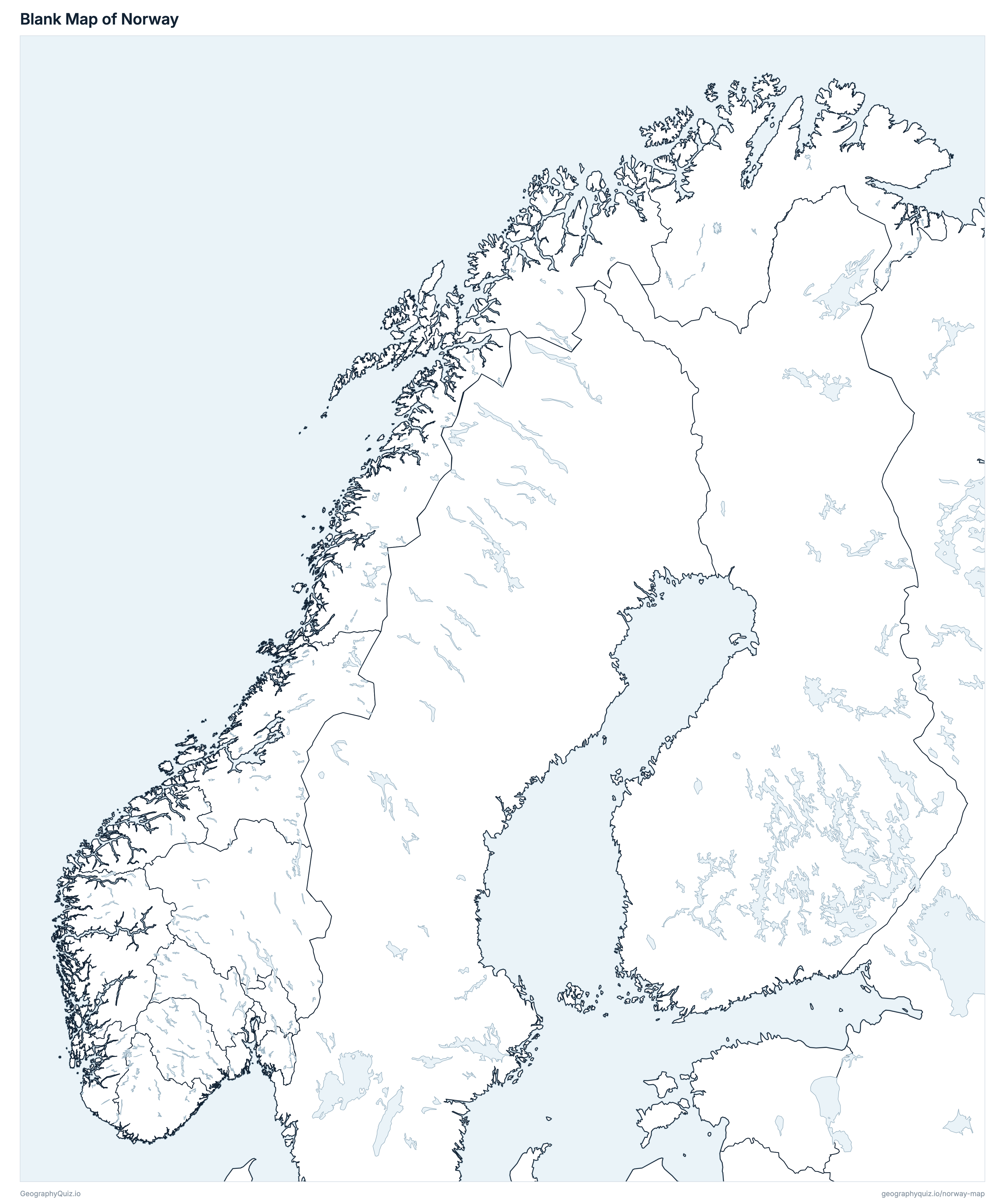
Free to print for class and home: Norway with its cities and towns, a map of its counties, and a blank outline map. PDFs fit one A4 or US Letter page.
Norway map with cities
Norway counties map
About Norway
Norway has 15 counties and about 5,627,400 people (2026) on 304,034 km² (117,388 sq mi). Oslo is both the capital and the largest city, with 1,119,478 people. It borders Sweden, Finland and Russia.
Akershus is the most populous county (749,207 people) and Finnmark the least (75,288); Innlandet is the largest by area (49,386 km²) and Oslo the smallest (426 km²).
Largest cities in Norway
The 25 most populous cities and towns. All 247 are on the map above: switch on Towns and zoom in to see them.
| # | City | County | Population |
|---|---|---|---|
| 1 | Oslo | Oslo | 1,119,478 |
| 2 | Bergen | Vestland | 274,589 |
| 3 | Stavanger/Sandnes | Rogaland | 244,378 |
| 4 | Trondheim | Trøndelag | 202,397 |
| 5 | Drammen | Buskerud | 126,230 |
| 6 | Fredrikstad/Sarpsborg | Østfold | 123,608 |
| 7 | Porsgrunn/Skien | Telemark | 97,240 |
| 8 | Kristiansand | Agder | 68,300 |
| 9 | Tønsberg | Vestfold | 57,011 |
| 10 | Ålesund | Møre og Romsdal | 56,763 |
| 11 | Moss | Østfold | 51,004 |
| 12 | Sandefjord | Vestfold | 49,186 |
| 13 | Haugesund | Rogaland | 47,597 |
| 14 | Arendal | Agder | 45,668 |
| 15 | Tromsø | Troms | 43,835 |
| 16 | Bodø | Nordland | 43,446 |
| 17 | Hamar | Innlandet | 30,620 |
| 18 | Gjøvik | Innlandet | 30,390 |
| 19 | Larvik | Vestfold | 27,826 |
| 20 | Halden | Østfold | 26,348 |
| 21 | Jessheim | Akershus | 26,080 |
| 22 | Askøy | Vestland | 24,848 |
| 23 | Kongsberg | Buskerud | 23,912 |
| 24 | Ski | Akershus | 23,480 |
| 25 | Molde | Møre og Romsdal | 22,830 |
Populations are Statistics Norway's population on 1 January 2026, in the 15 counties of 2024; towns are SSB's urban settlements (tettsteder), the built-up areas around a place, so Oslo includes its suburbs in Akershus, and twin towns such as Stavanger/Sandnes are counted as one. Svalbard and Jan Mayen are not counties and are not shown.
Counties of Norway
All 15 counties. Select one to show it on the map.
| Kristiansand | 323,930 | 14,980 | |
| Oslo | 749,207 | 5,473 | |
| Drammen | 272,981 | 13,567 | |
| Vadsø | 75,288 | 45,757 | |
| Hamar | 379,488 | 49,386 | |
| Molde | 273,169 | 13,837 | |
| Bodø | 243,272 | 35,757 | |
| Oslo | 728,714 | 426 | |
| Sarpsborg | 316,448 | 3,728 | |
| Stavanger | 508,922 | 8,572 | |
| Skien | 177,923 | 13,832 | |
| Tromsø | 171,218 | 25,166 | |
| Steinkjer | 489,166 | 39,493 | |
| Tønsberg | 259,332 | 2,092 | |
| Bergen | 658,342 | 31,967 |
Quizzes and worksheets
Sources
- Counties, coasts and lakes: Kartverket, N500 Kartdata (1:500 000), the municipalities and counties of 2026, from Geonorge (CC BY 4.0).
- County names in Norwegian, Sámi and Kven: Kartverket, Administrative enheter – fylker, from Geonorge.
- Populations: Statistics Norway (SSB), table 06913, population on 1 January 2026 by county (data.ssb.no).
- Areas: Statistics Norway, table 09280, land and freshwater area by county, 2026.
- Towns: Statistics Norway, table 04859, residents of urban settlements (tettsteder) on 1 January 2026, placed with SSB's urban settlement boundaries 2026 (kart.ssb.no).
- European and national roads: Norwegian Public Roads Administration (Statens vegvesen), National Road Database (NVDB).