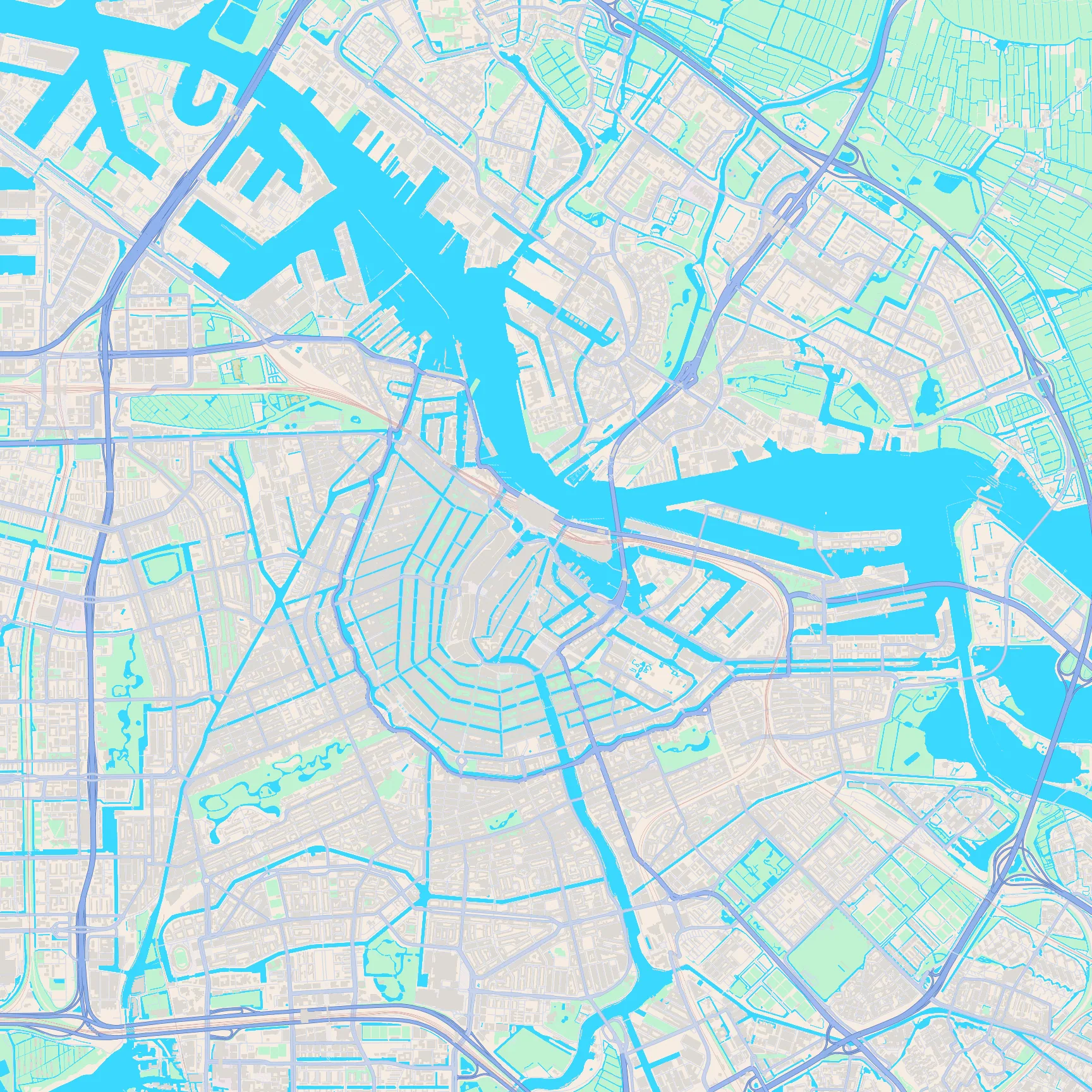
Key featuresThe concentric canal rings, the IJ waterfront to the north, and Vondelpark's long green wedge to the south-west.
Map gallery
Unlabeled street maps of every European capital. Drag each map to explore rivers, parks, harbour shapes, and road patterns. When you are ready, take the quiz and see how many you can recognise from the city shape alone.
Key featuresThe concentric canal rings, the IJ waterfront to the north, and Vondelpark's long green wedge to the south-west.
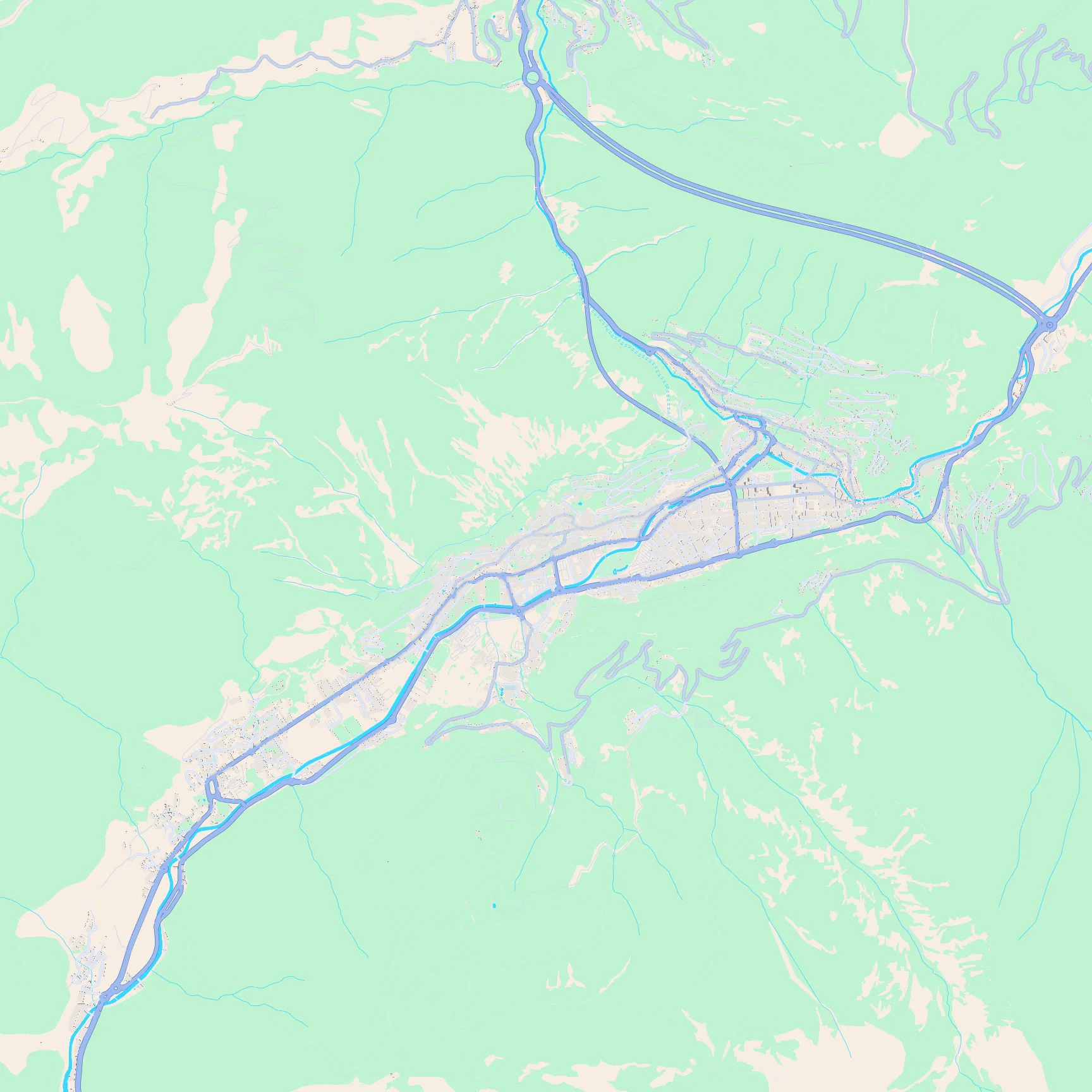
Key featuresA thin built-up ribbon squeezed into a mountain valley, with green slopes rising on both sides.
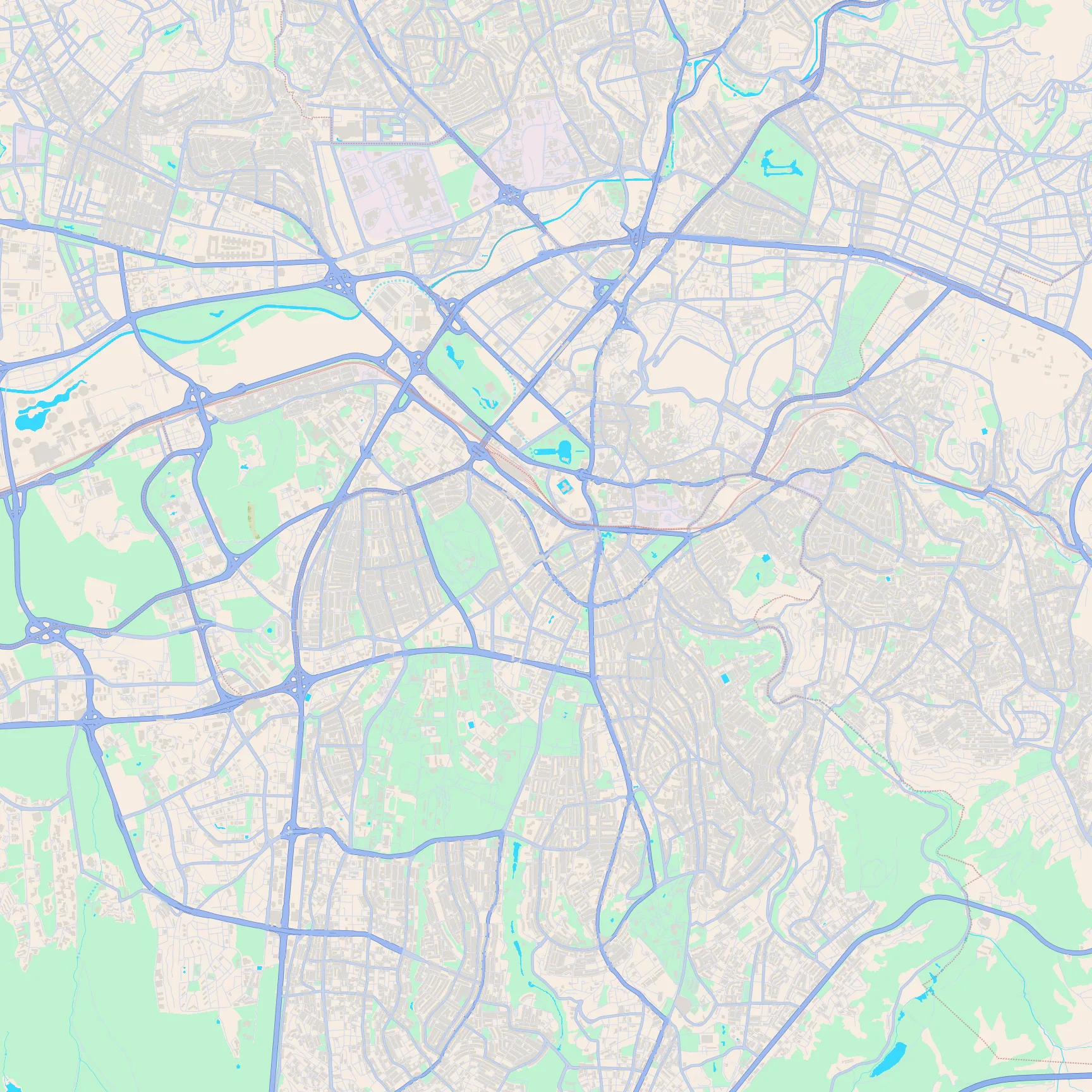
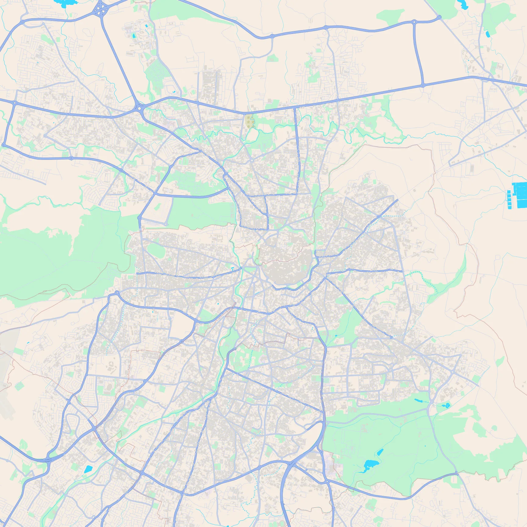
Key featuresAnıtkabir's formal green rectangle and long approach avenue, the dense Kızılay grid to the east, and Gençlik Parkı with its pond to the north.
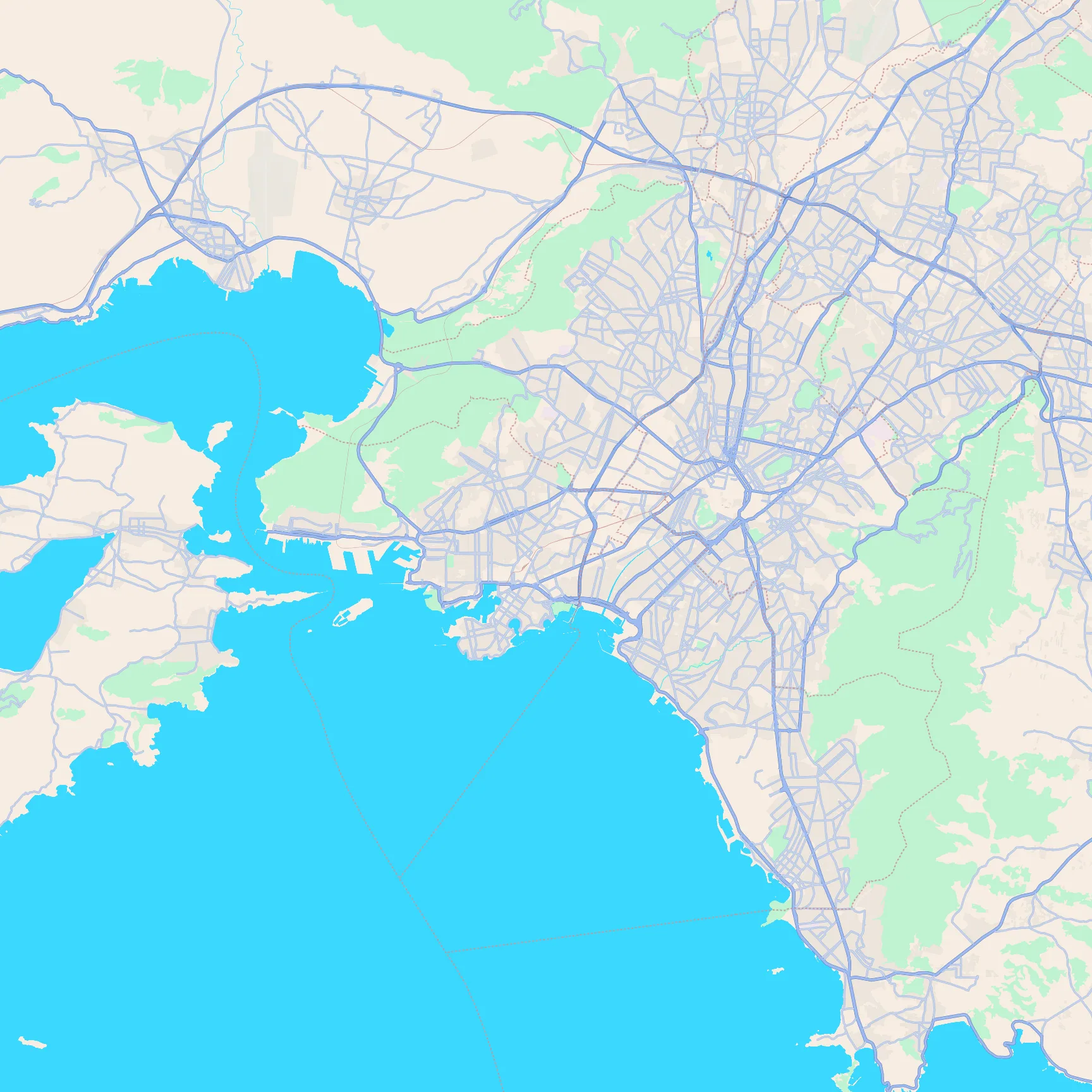
Key featuresThe dense basin core, Piraeus harbour juts on the coast, and green hills wrapping the east side.
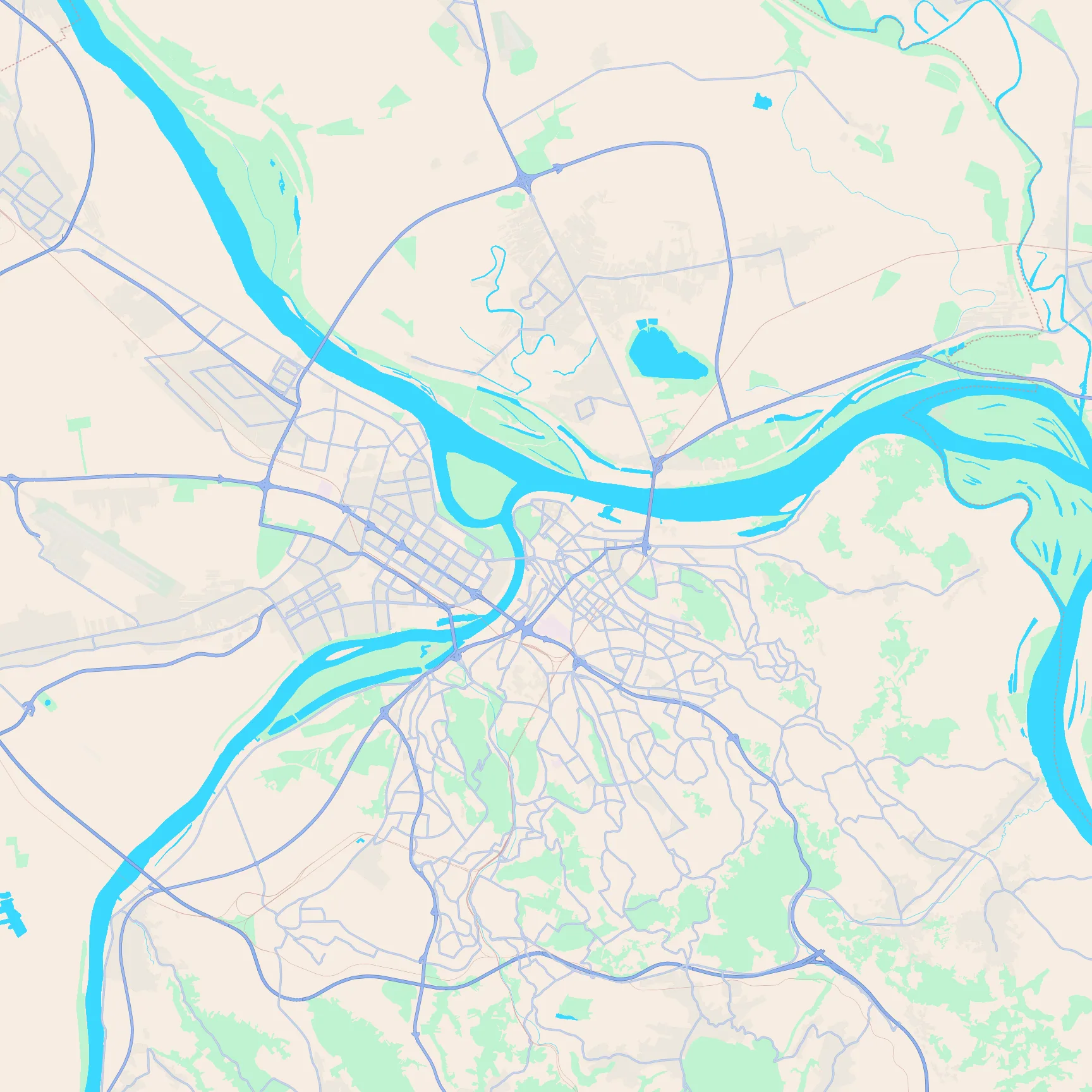
Key featuresThe Sava meeting the Danube, the big green War Island at the confluence, and New Belgrade's grid to the west.
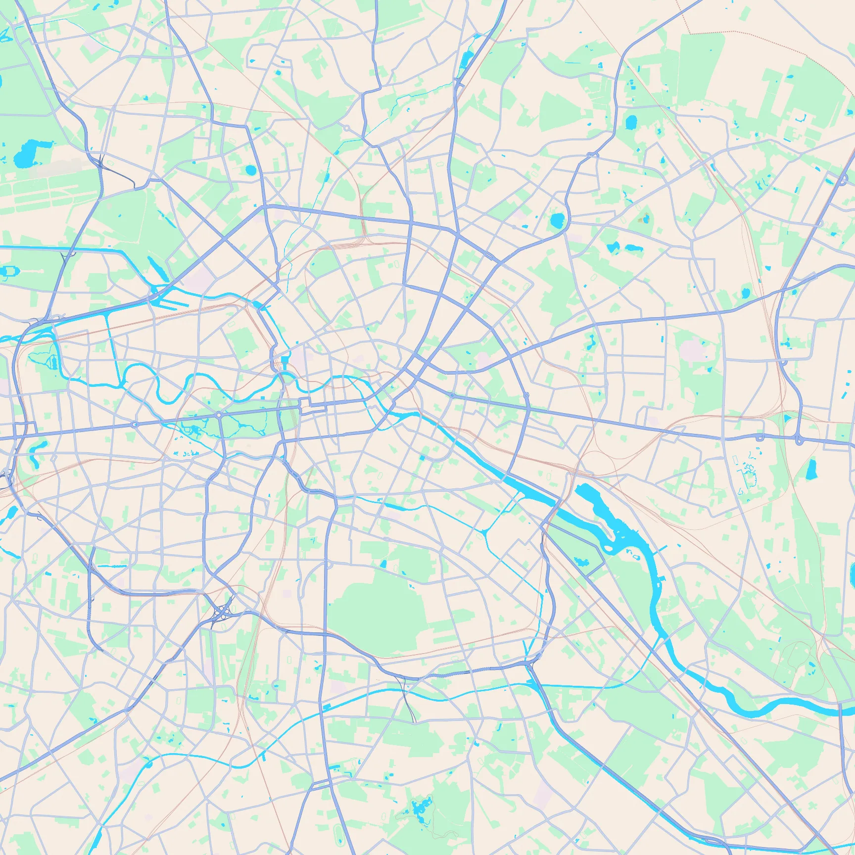
Key featuresThe Spree's tight bends through the centre, Tiergarten's long green park, Tempelhof's huge open oval, and Rummelsburg's irregular bay to the east.
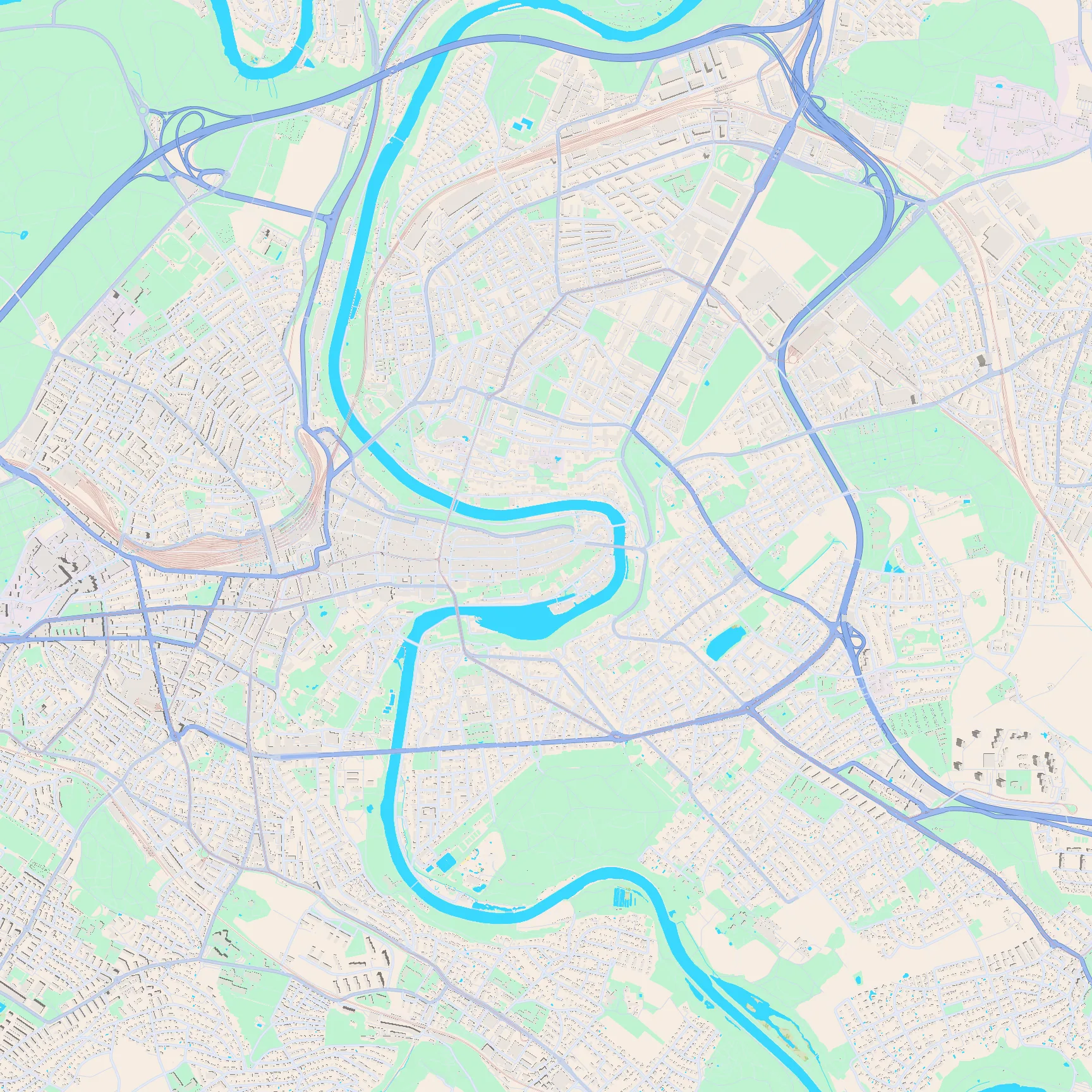
Key featuresThe Aare's tight horseshoe wrapping the old-town peninsula, with bridges pinching both arms of the bend.
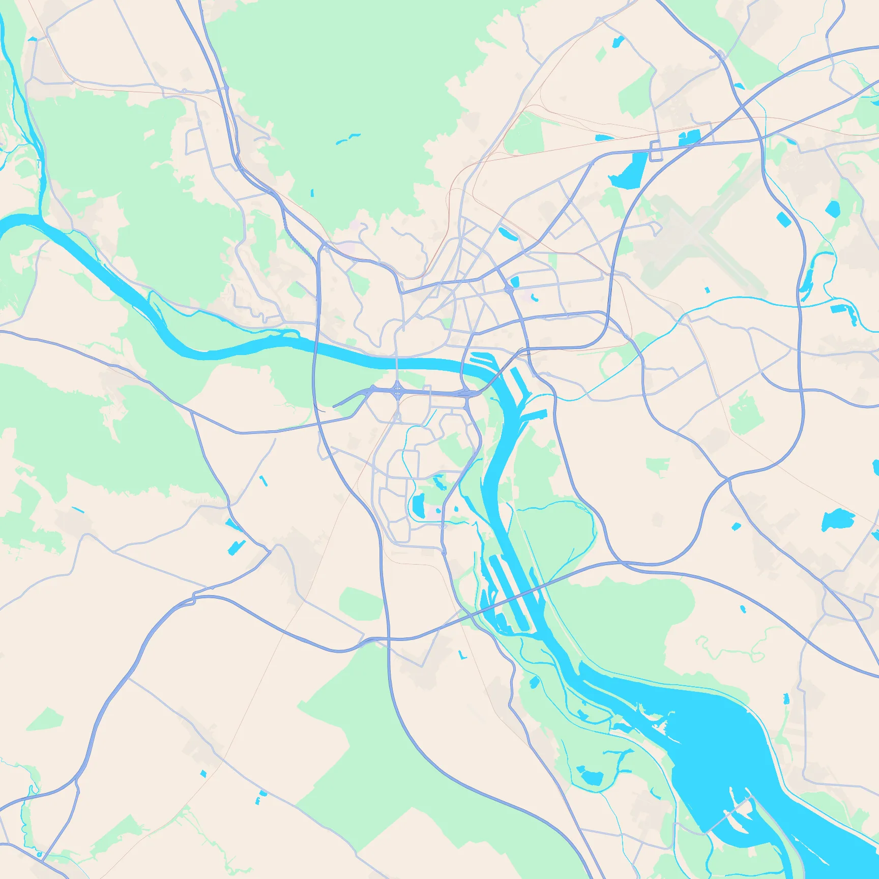
Key featuresThe Danube's sharp L-bend along the south and east, the dense core north of the river, and the airport runways to the east.
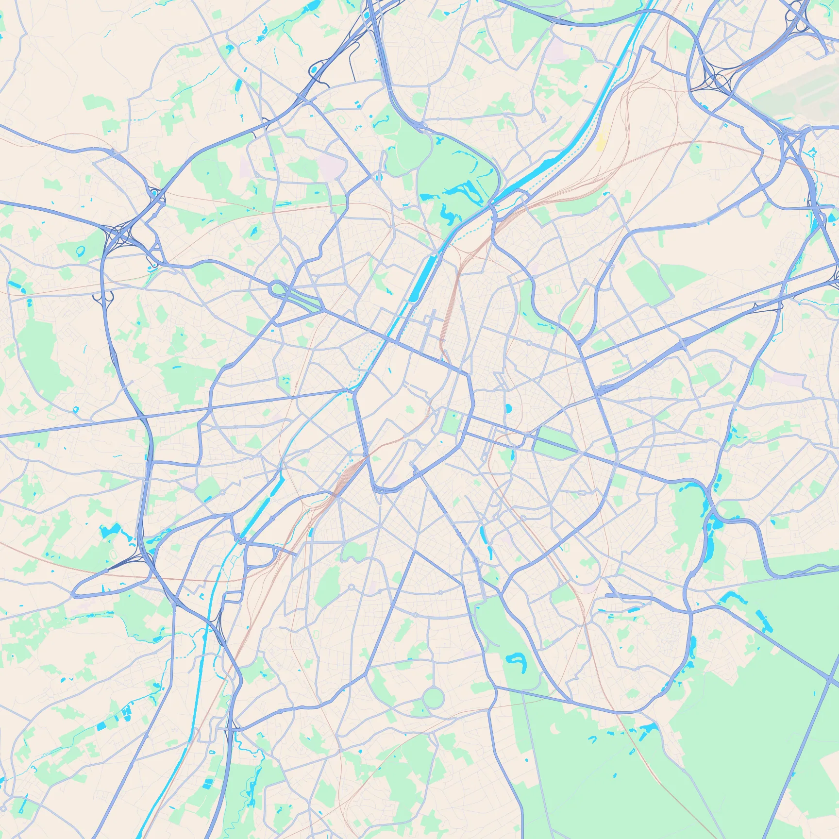
Key featuresThe pentagon inner ring around the dense core, the canal cutting past the west side, and Cinquantenaire's green rectangle to the east.
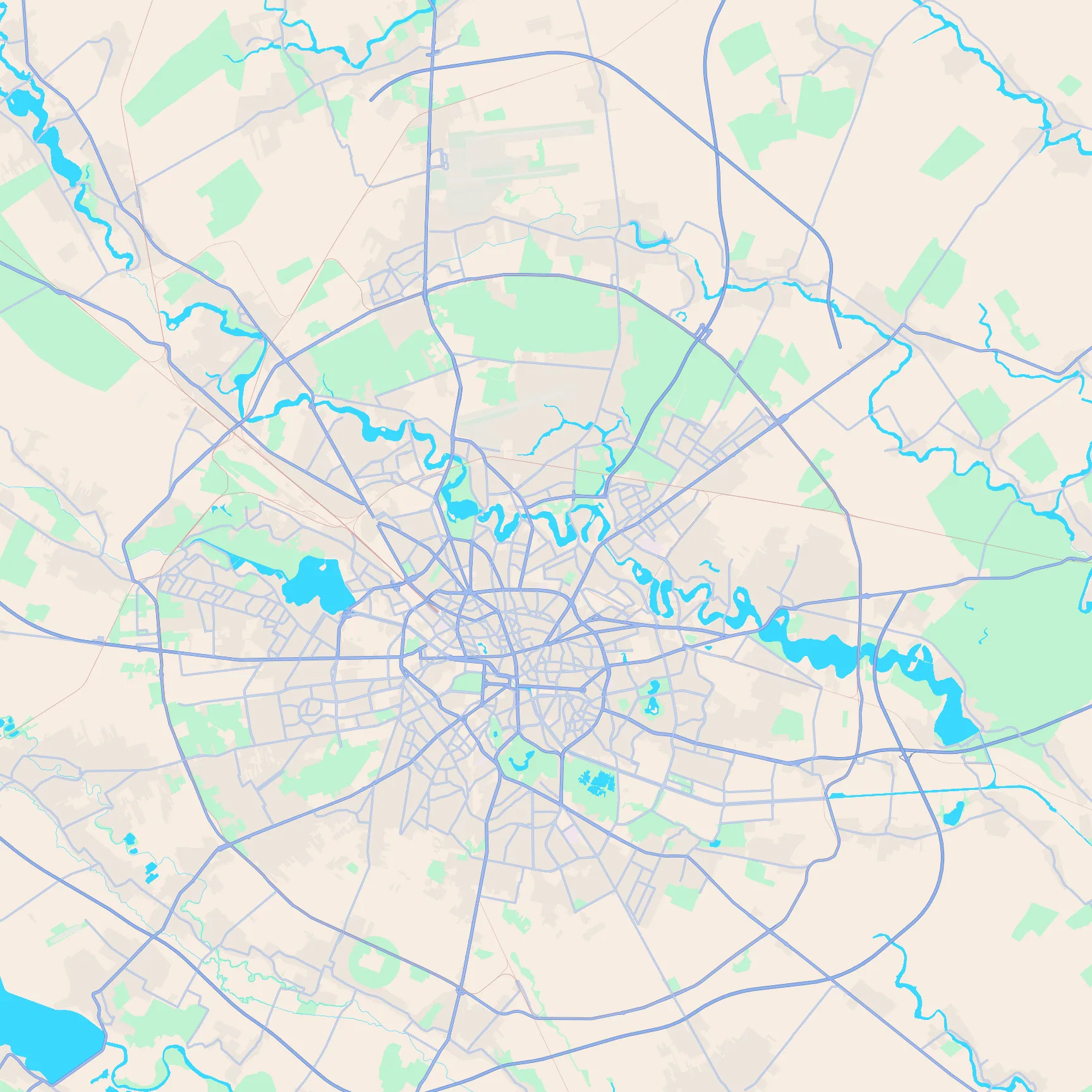
Key featuresThe straight Dâmbovița through the centre, Lacul Morii to the west, and the Colentina lake chain to the north-east.
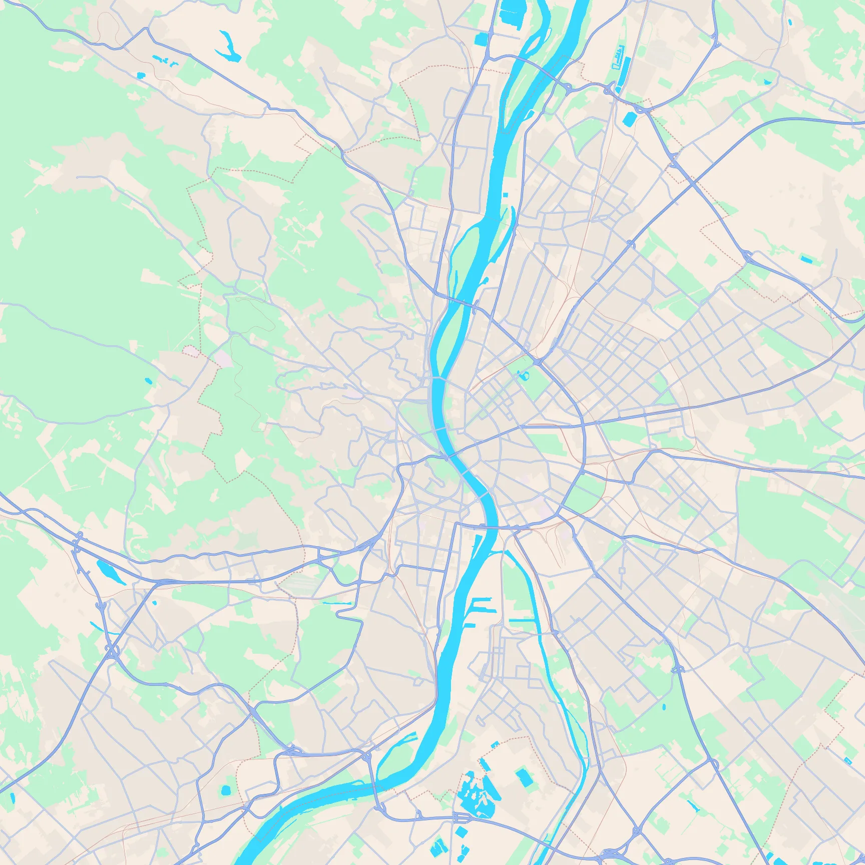
Key featuresThe Danube splitting hilly Buda from flatter Pest, Margaret Island in the river, and City Park to the east.
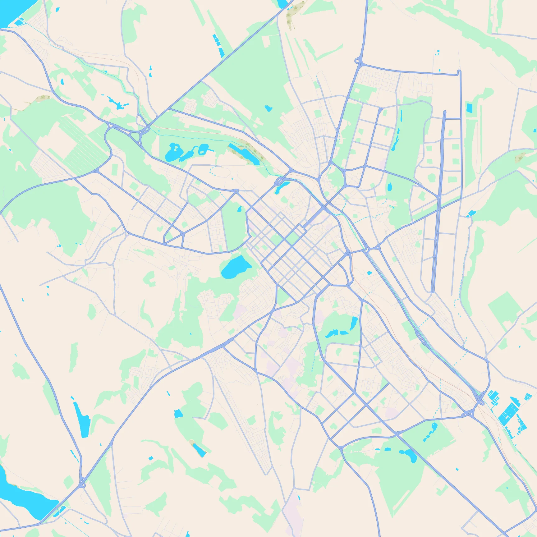
Key featuresA clear diagonal street grid, Valea Morilor's teardrop lake to the south-west, and a chain of park lakes along the north side.
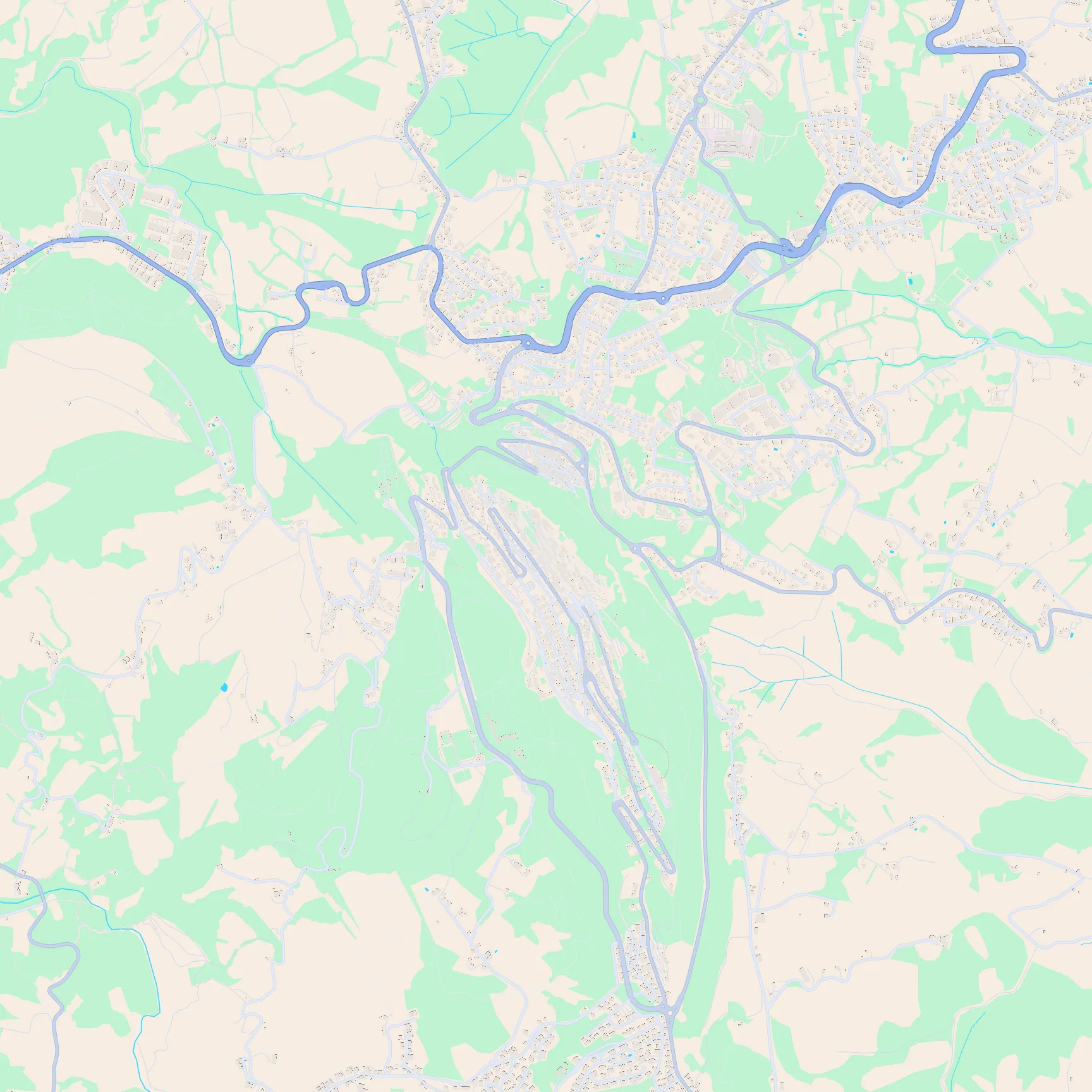
Key featuresA mountaintop town on a steep ridge, with sharp switchback roads climbing to the summit.
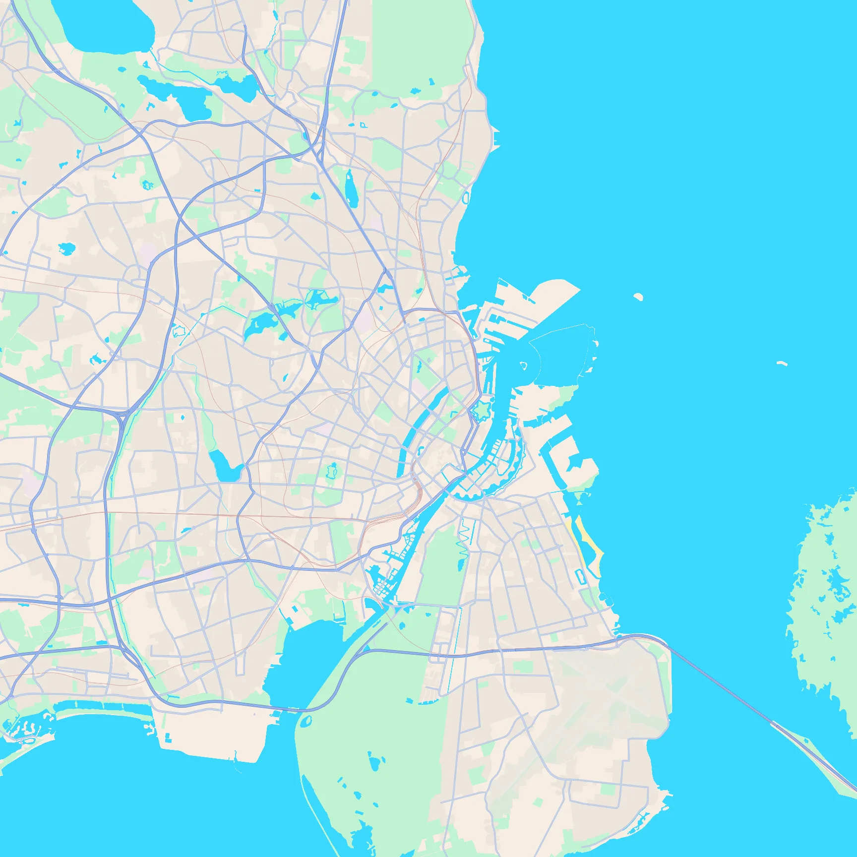
Key featuresThe harbour fingers into the Øresund, the star-shaped Kastellet, and the chain of lakes west of the centre.
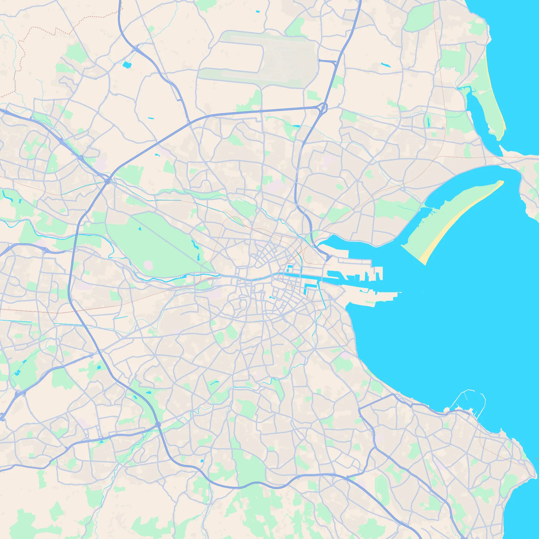
Key featuresThe Liffey cutting the city in two, the huge oval of Phoenix Park, and Bull Island in Dublin Bay.
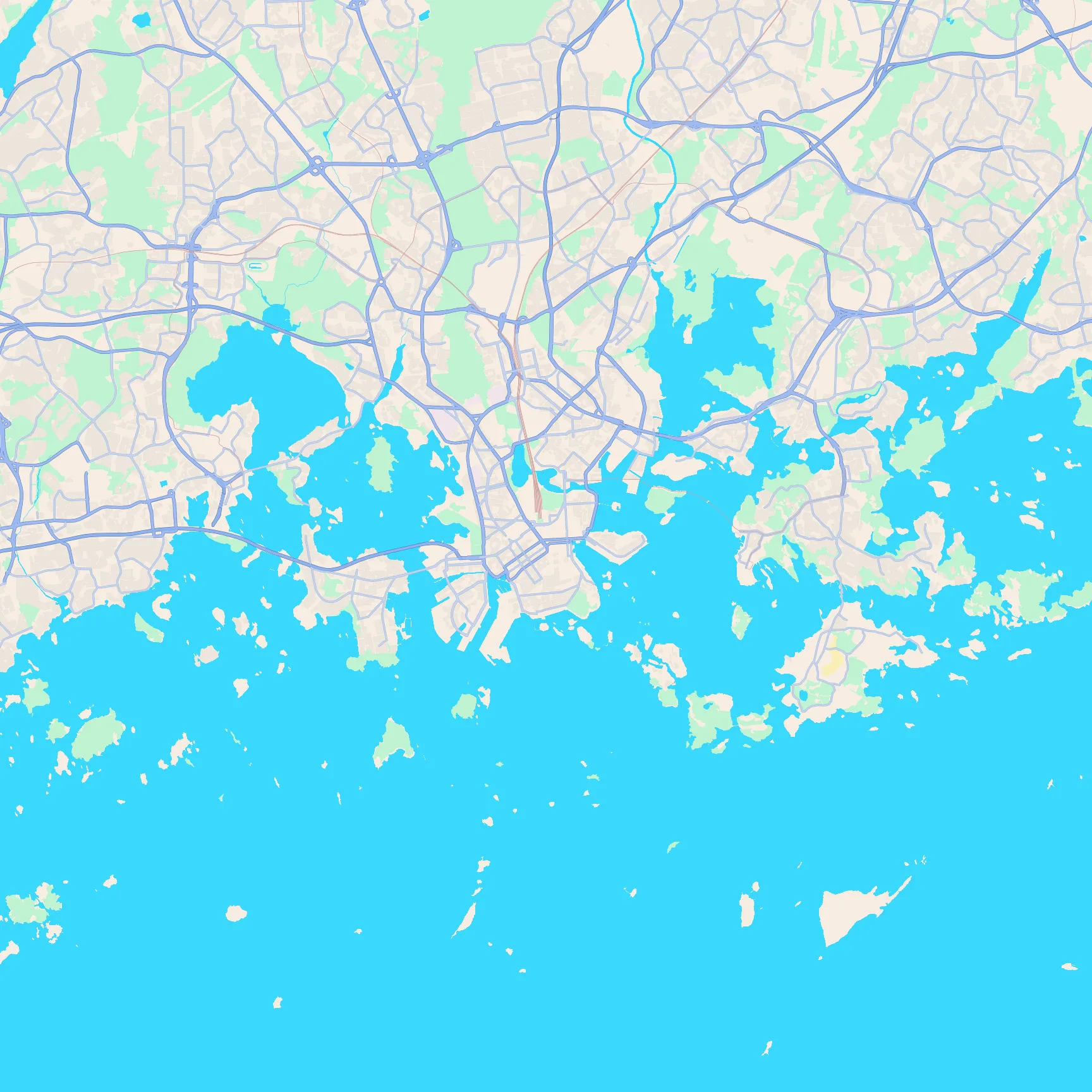
Key featuresA harbour peninsula tip, islands wrapped around the centre, and a deeply indented Baltic coastline.
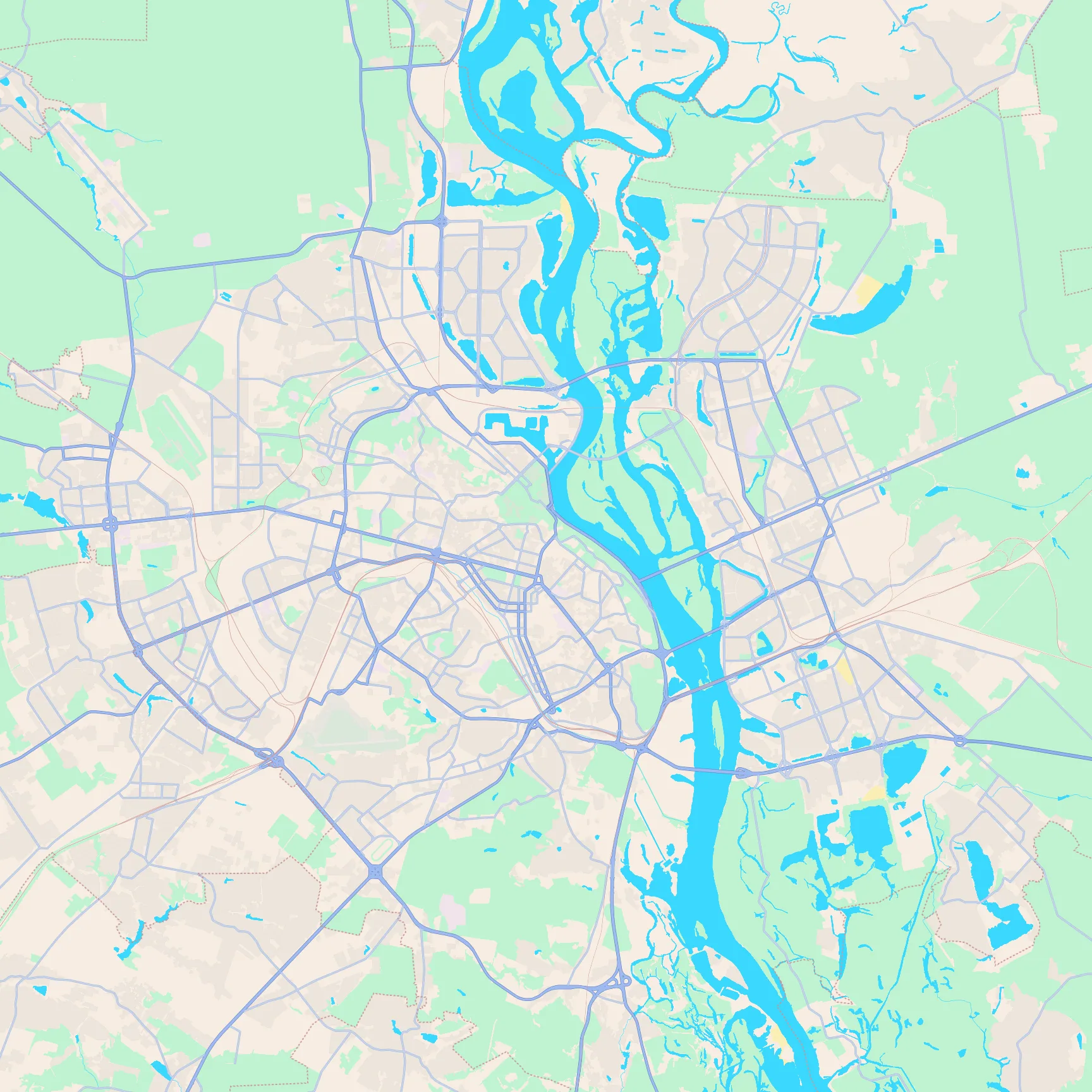
Key featuresThe wide Dnipro with long islands, the dense west-bank core on the bluff, and multiple bridges across.
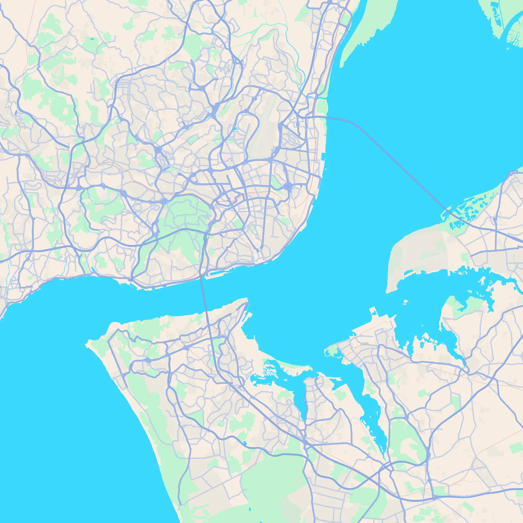
Key featuresThe Tagus estuary, the 25 de Abril bridge crossing, and Monsanto's big green park on the north bank.
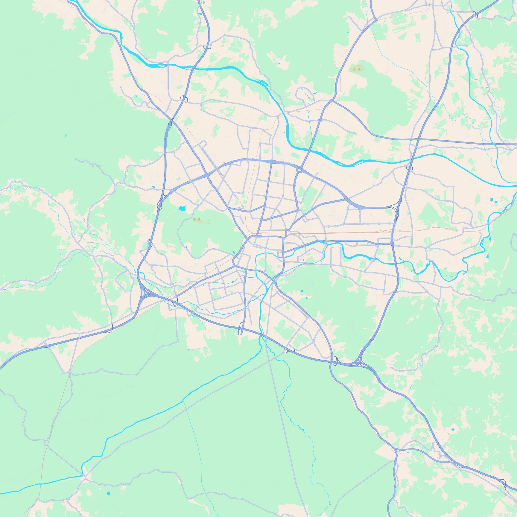
Key featuresThe Ljubljanica looping the old town, green castle hill above the centre, and hills closing in around the basin.
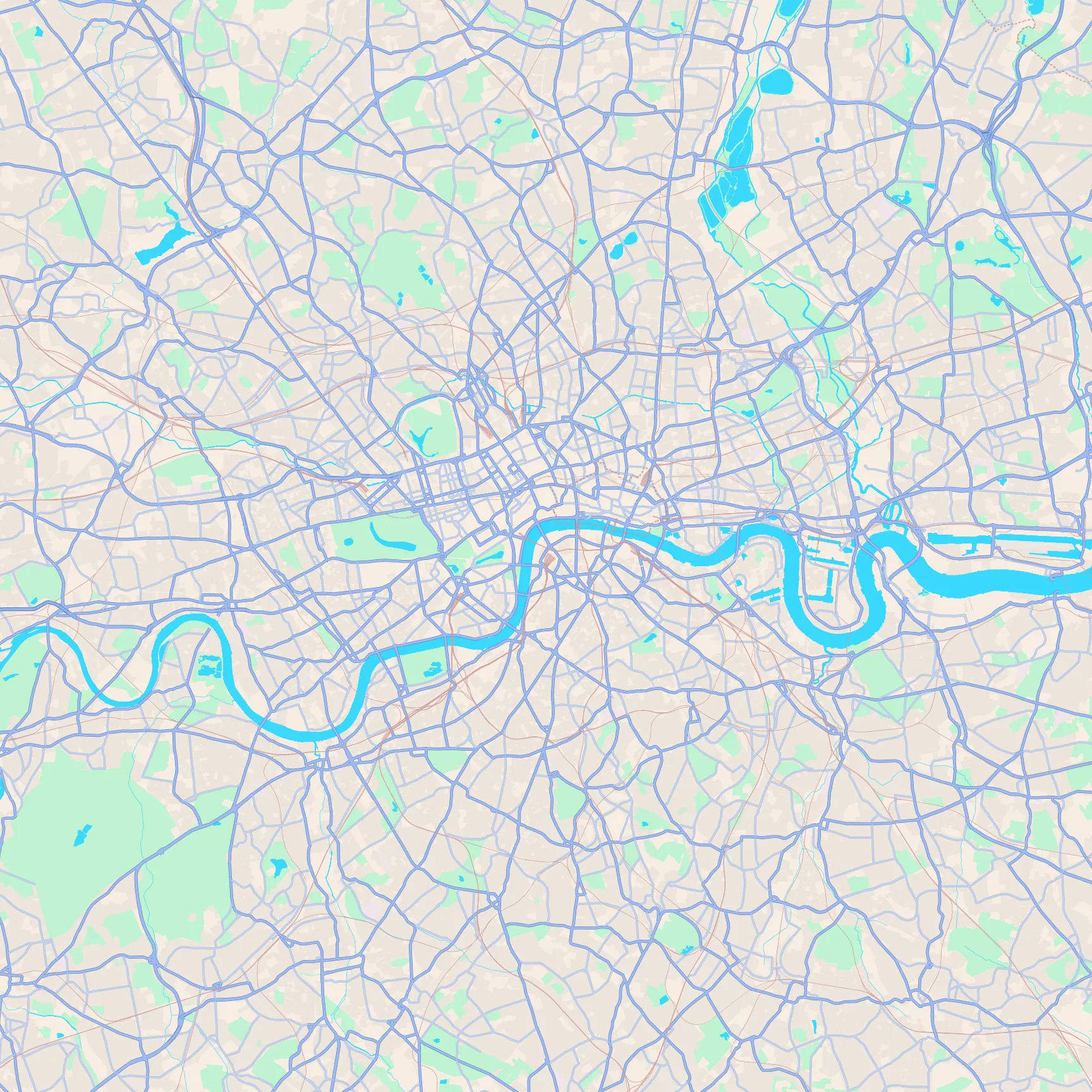
Key featuresThe looping Thames, Hyde Park's green rectangle with the Serpentine, and Regent's Park's round outline.
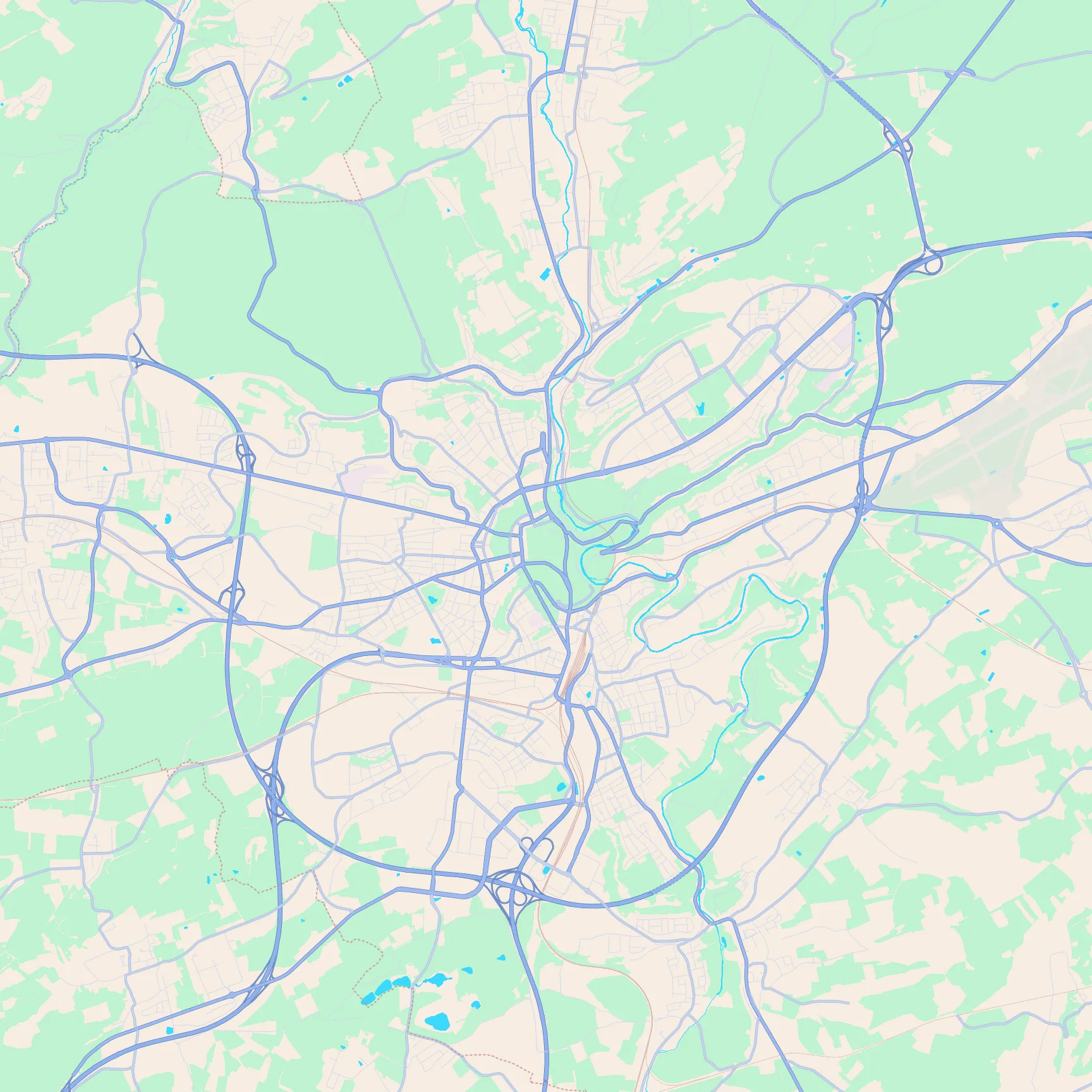
Key featuresDeep gorge valleys cutting the city, the cliff-top old town, and the airport runways on the eastern edge.
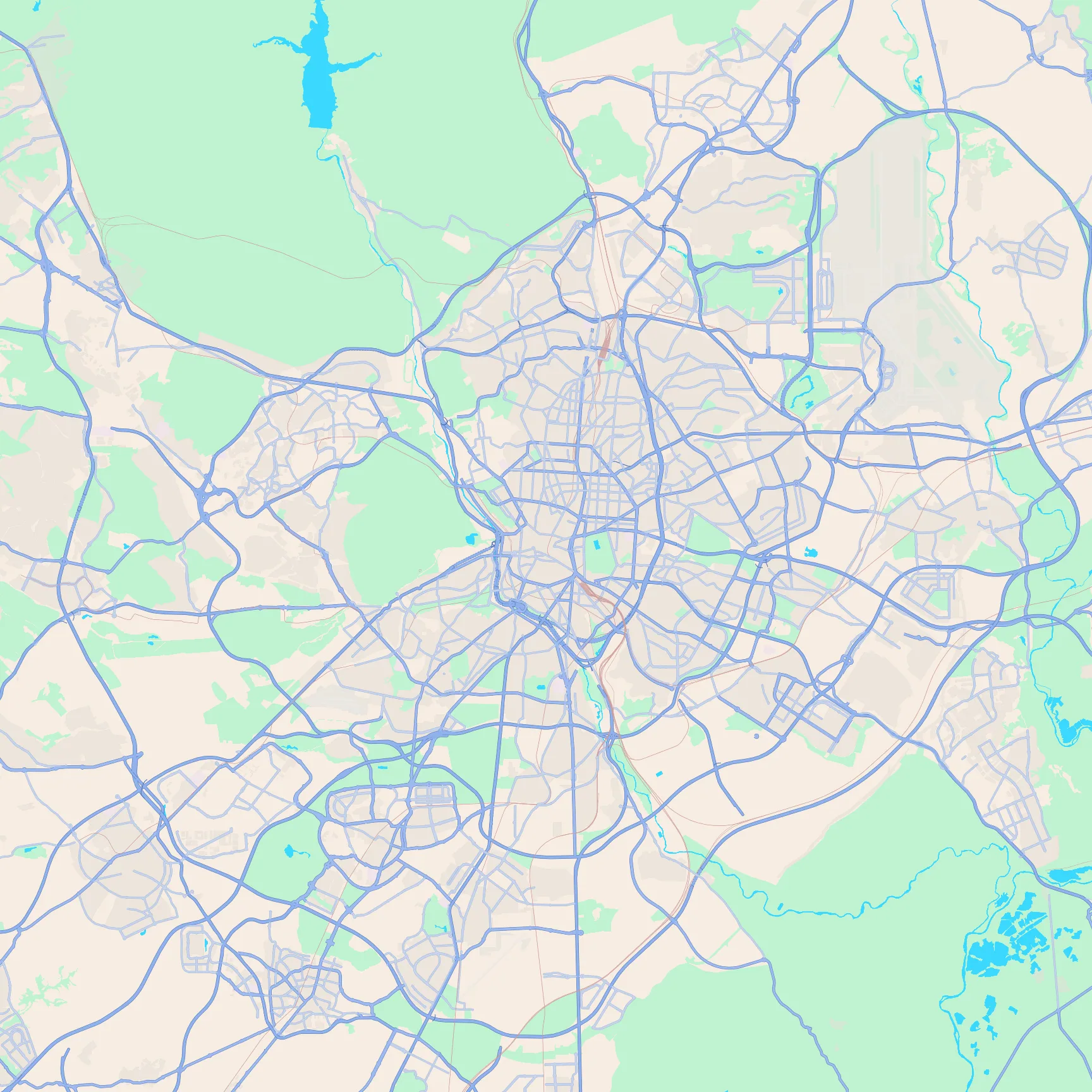
Key featuresThe dense inland street web, the M-30 ring, Casa de Campo to the west, and Retiro's green rectangle east of the centre.
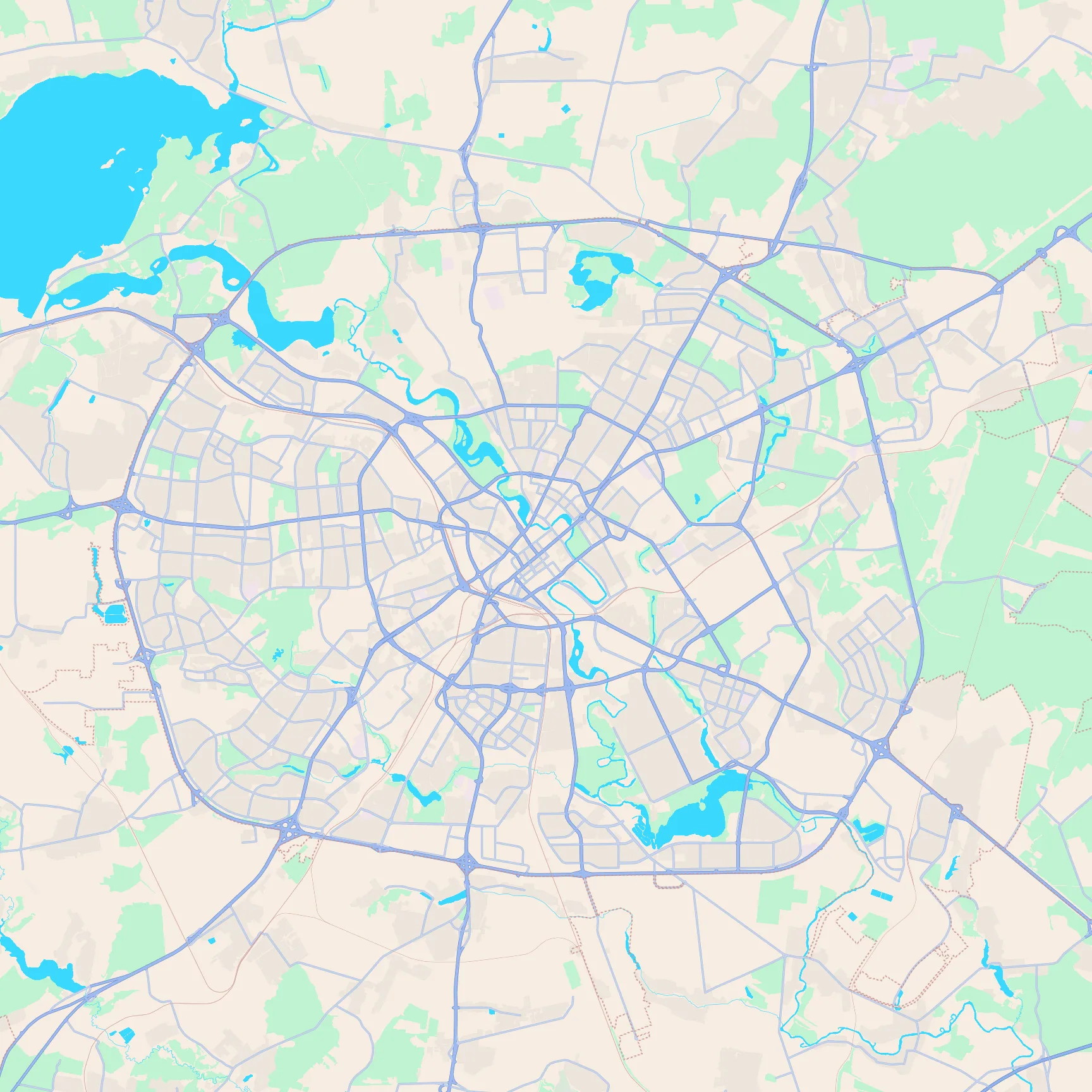
Key featuresConcentric ring roads and radial avenues, with park lakes along the Svislach through the centre.
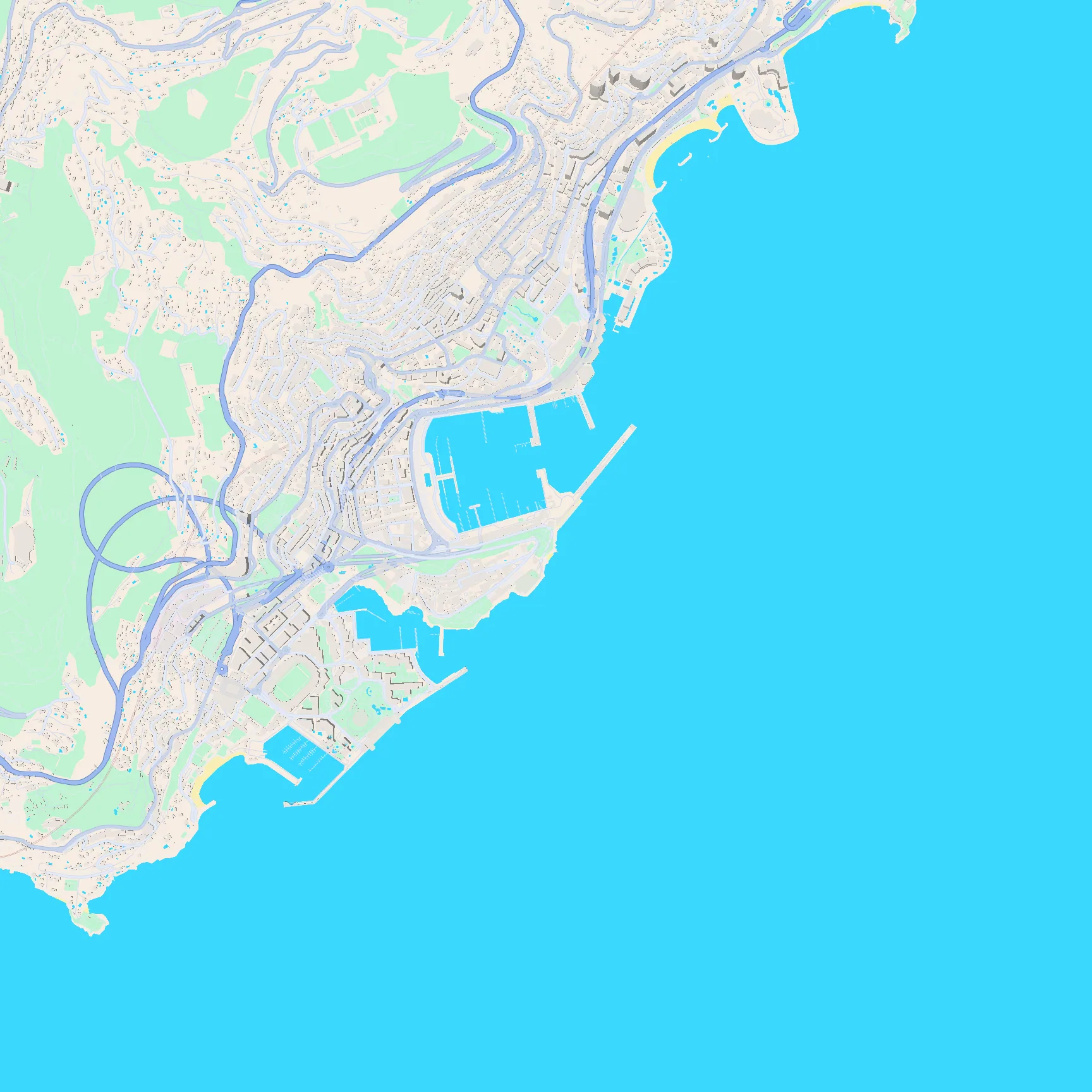
Key featuresA tiny coastal shelf, Port Hercule's harbour basin, and steep green cliffs rising straight behind the town.
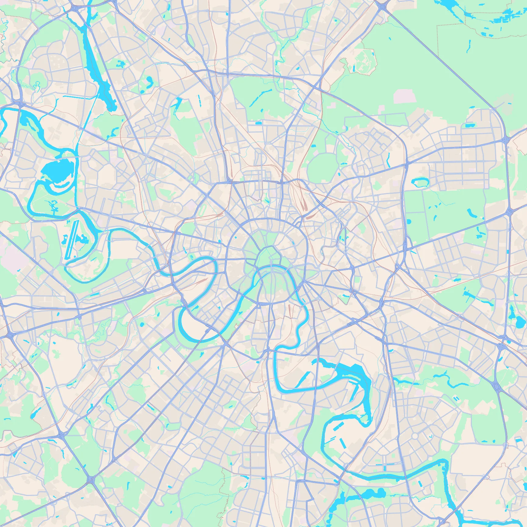
Key featuresConcentric ring roads, radial highways, and the Moskva river's tight loops through the centre.
Key featuresThe round Venetian walls around the old city, with star-shaped bastions and a dense core inside.
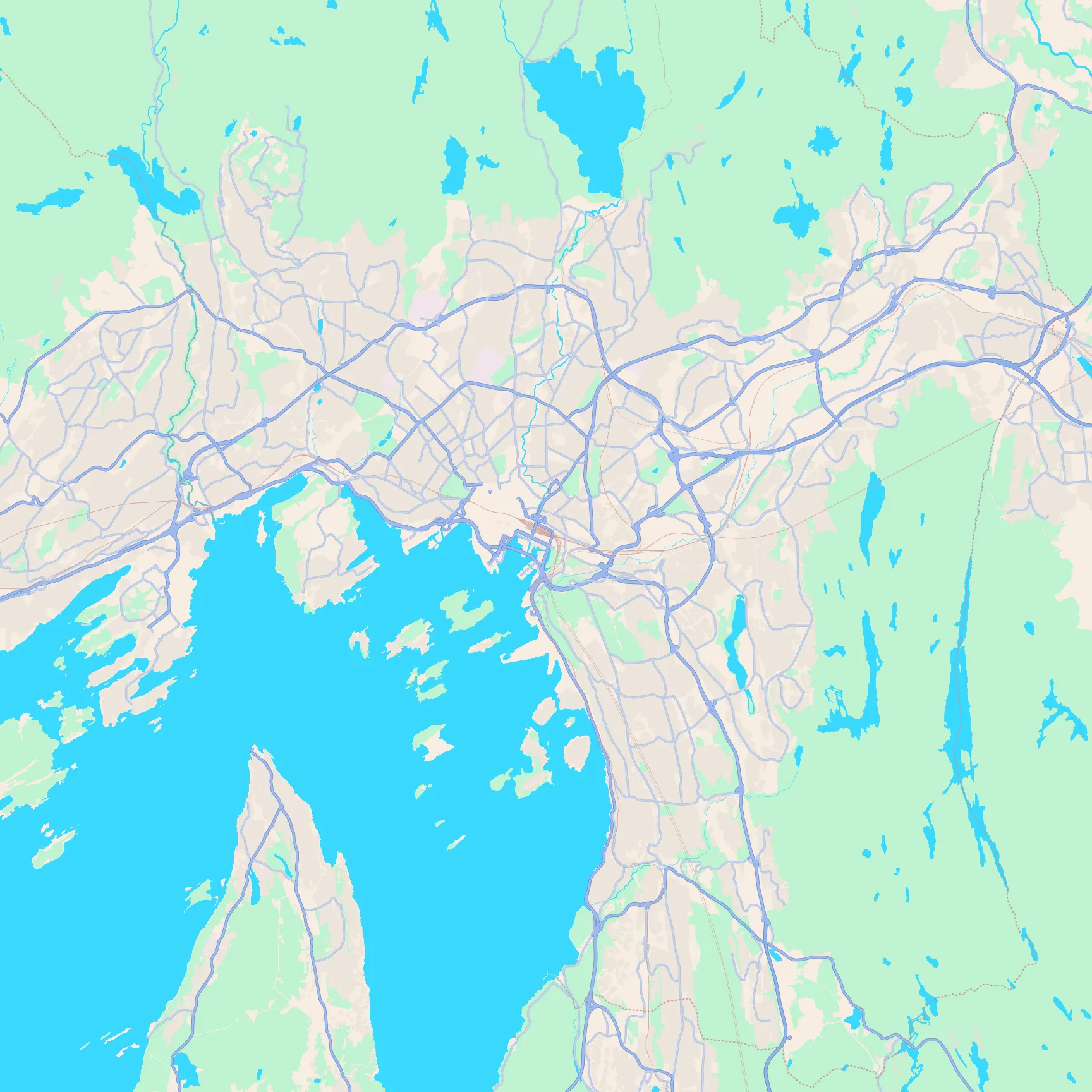
Key featuresThe fjord harbour opening south, scattered islands, and forested hills wrapping the city.
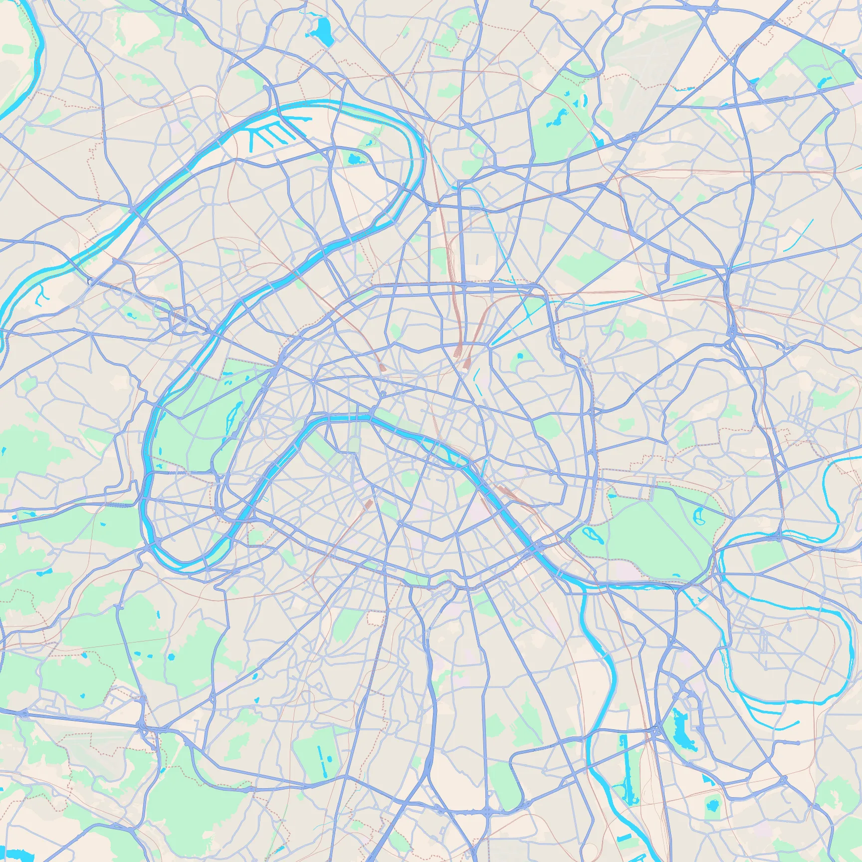
Key featuresThe Seine's S-bend and islands, the oval Périphérique ring, and Bois de Boulogne / Vincennes on either side.
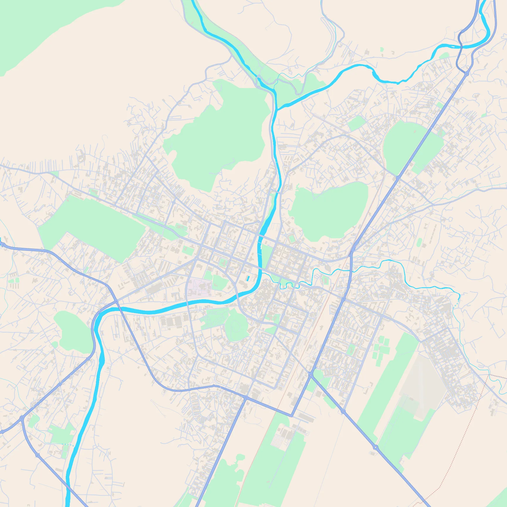
Key featuresThe Morača curving through the centre with the small Ribnica joining it, Gorica's green hill, and a compact grid east of the river.
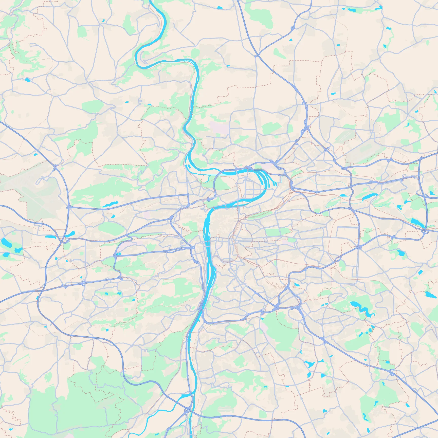
Key featuresThe Vltava's big bends and bridges, the dense old town on both banks, and parks on the west ridge.
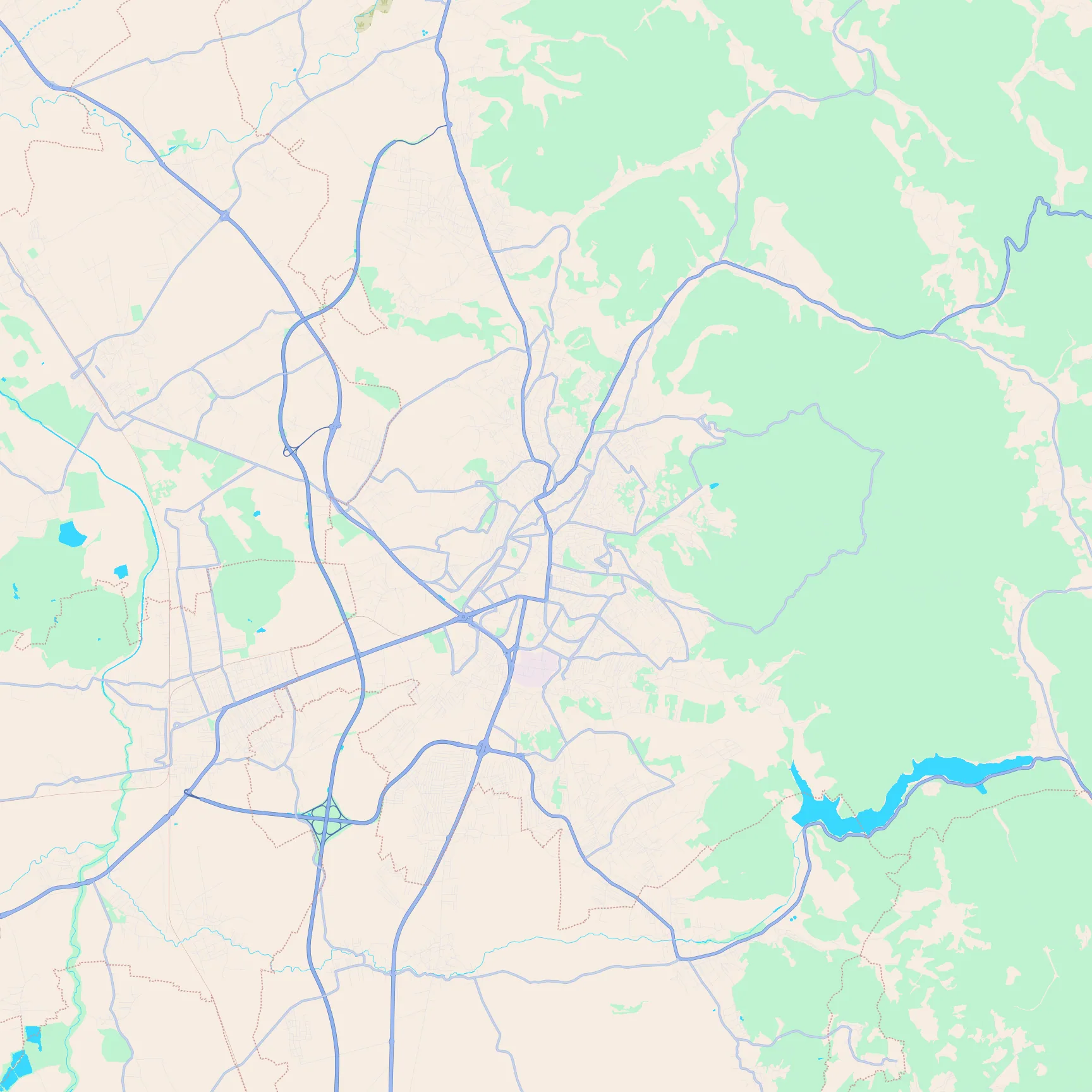
Key featuresA compact basin town, Gërmia's huge green mass to the east, and Badovc lake in the south-east.
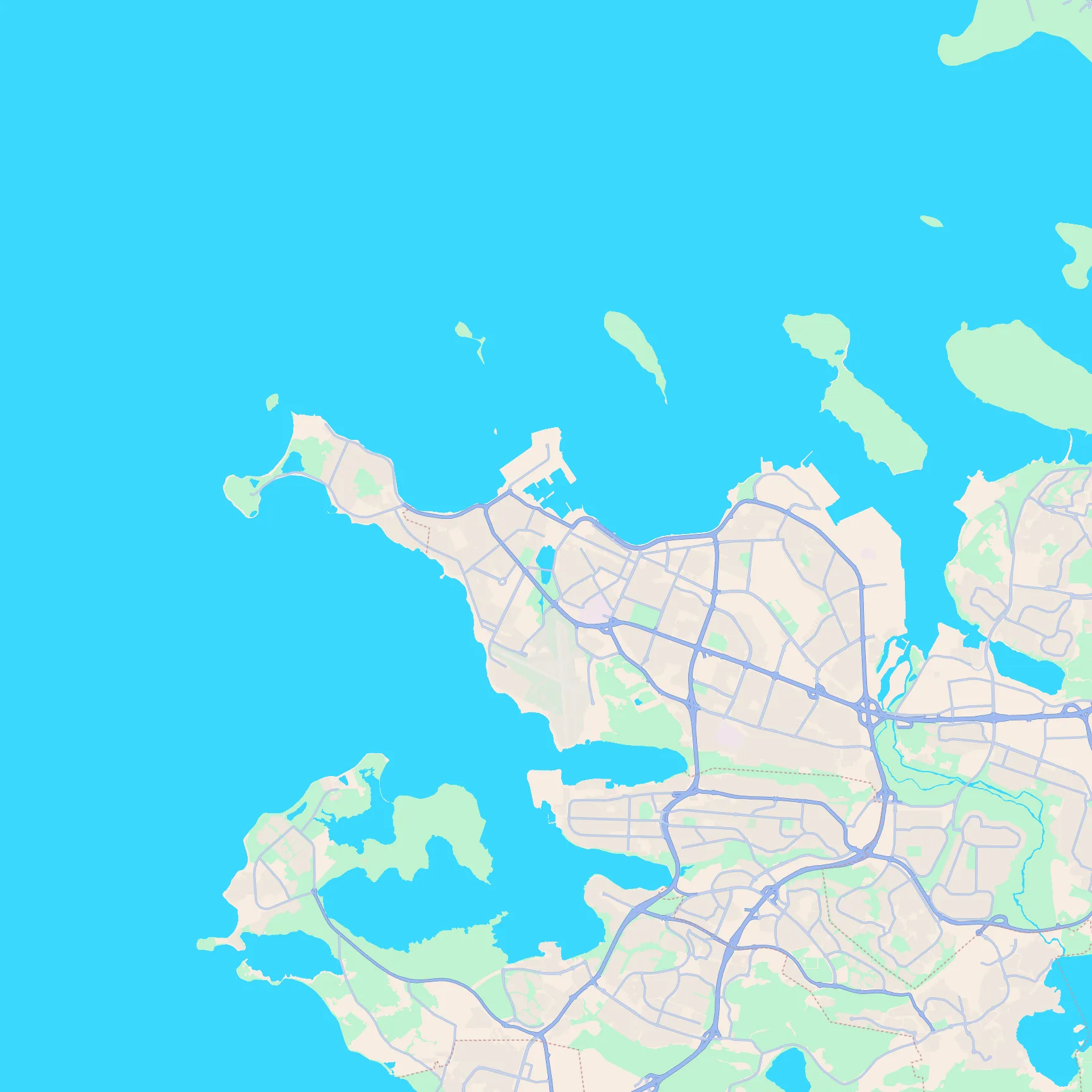
Key featuresA coastal peninsula on the bay, the harbour docks, and the domestic airport runways near the centre.
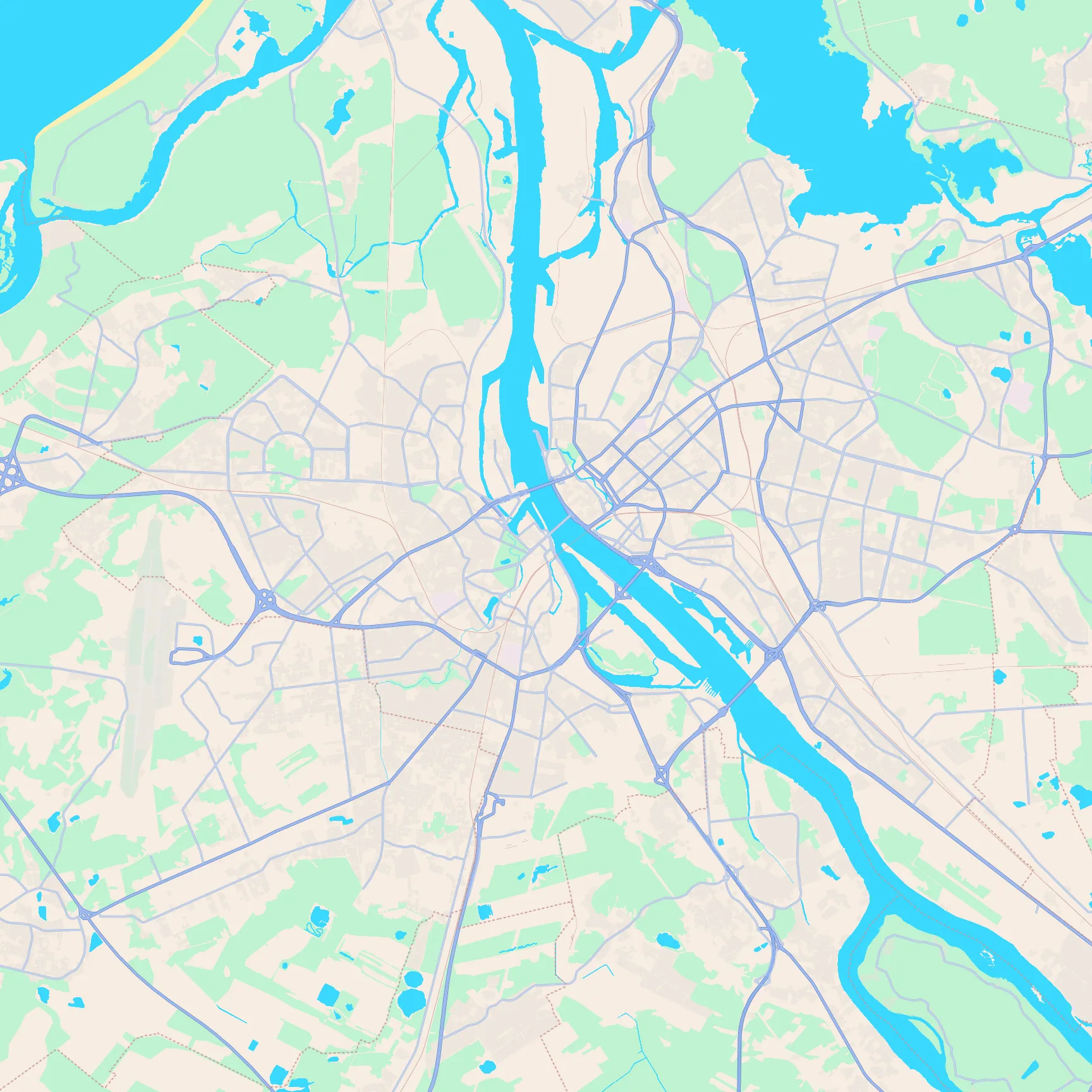
Key featuresThe wide Daugava waterfront, the tight oval old town, and parks wrapping the historic core.
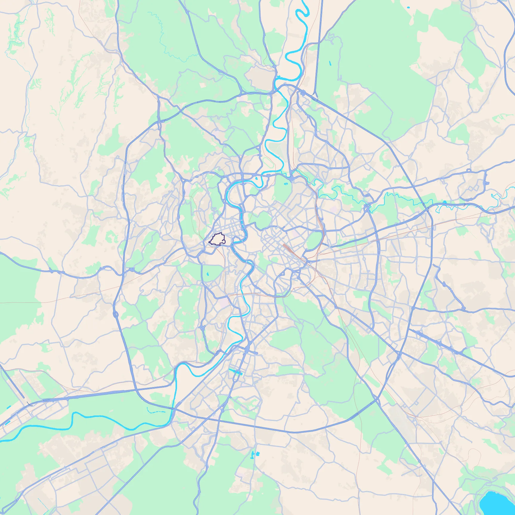
Key featuresThe Tiber bends, the dense historic core, and the small outlined Vatican enclave on the west bank.
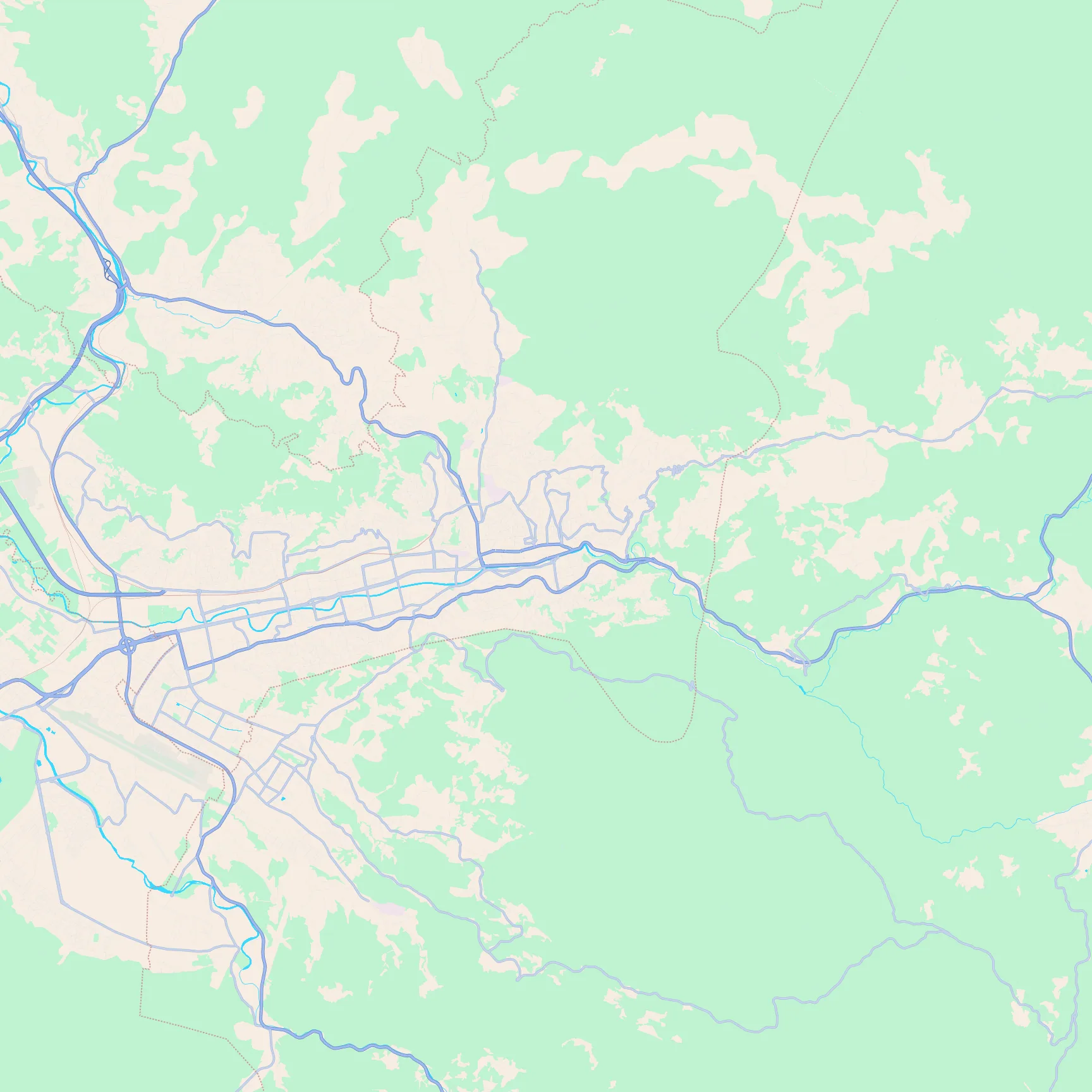
Key featuresA long narrow city in a mountain valley, with steep green slopes on both sides of the Miljacka.
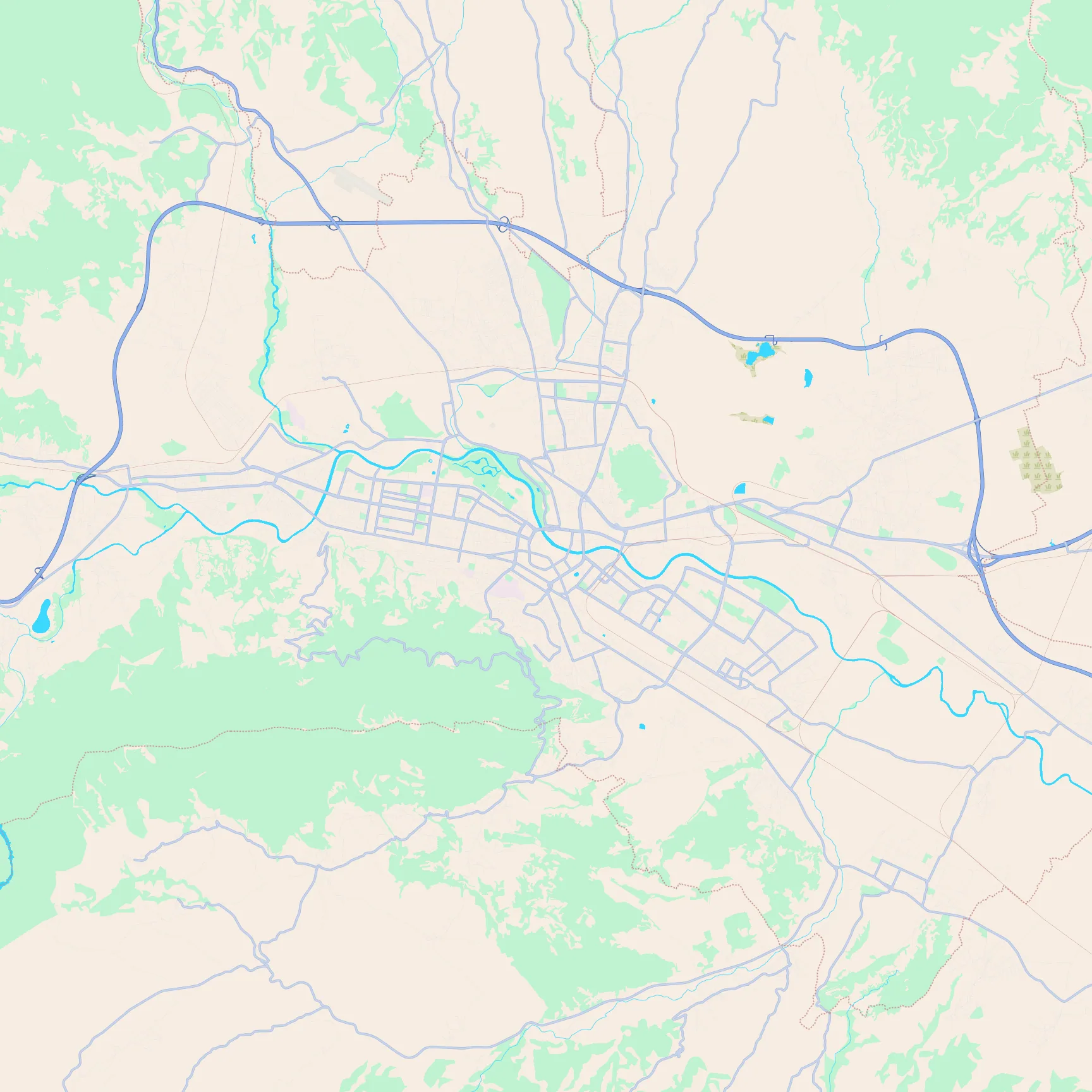
Key featuresThe Vardar cutting the centre, hills rising close to the south, and a fortress rise above the old town.
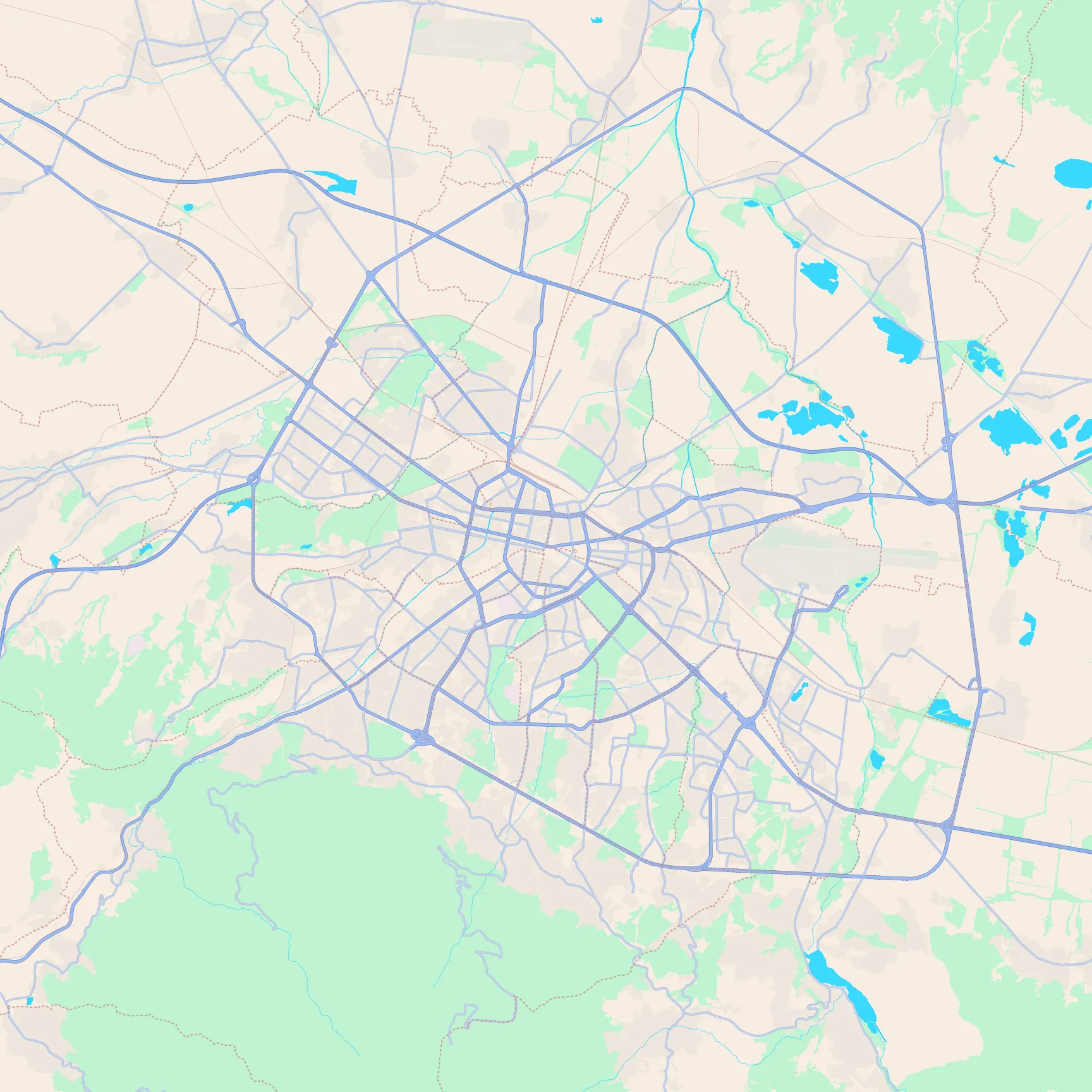
Key featuresA broad basin plain with ring roads, Vitosha's green wall to the south, and the airport on the east side.
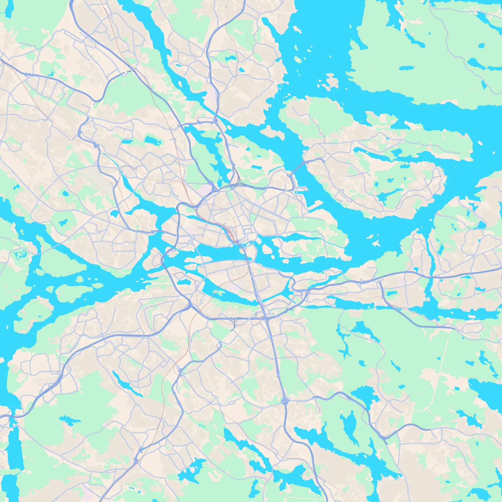
Key featuresAn island city between lake and sea, the tiny old-town island in the middle, and Djurgården's green island.
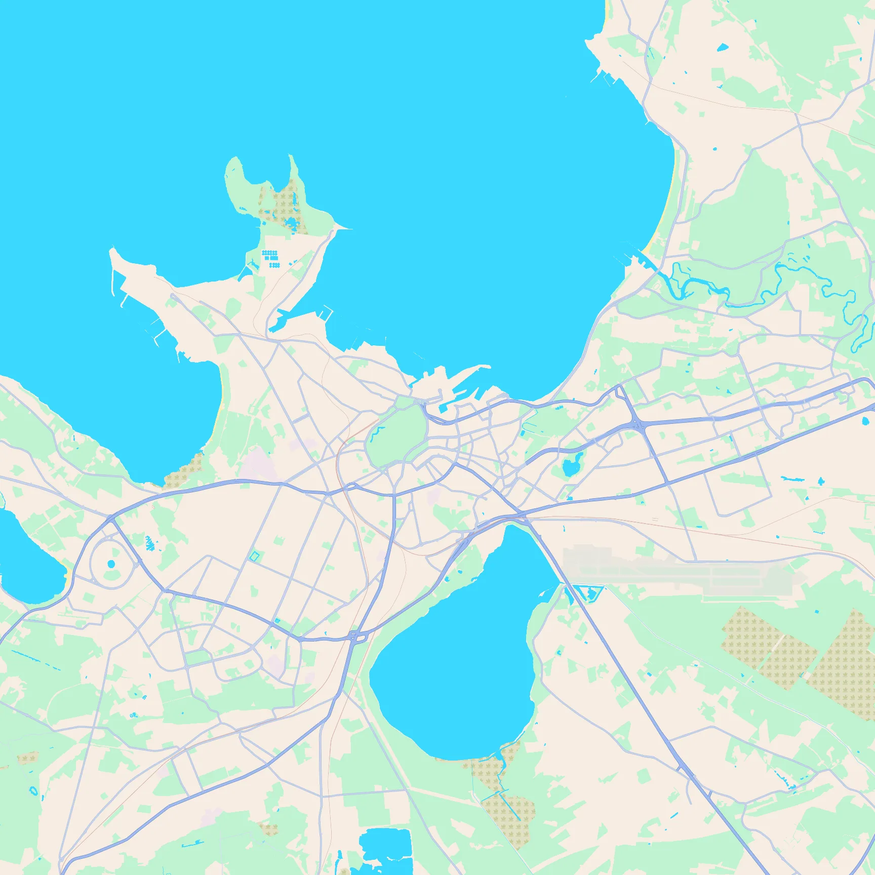
Key featuresThe bay and harbour to the north, the compact old town on the rise, and the airport on the south edge.
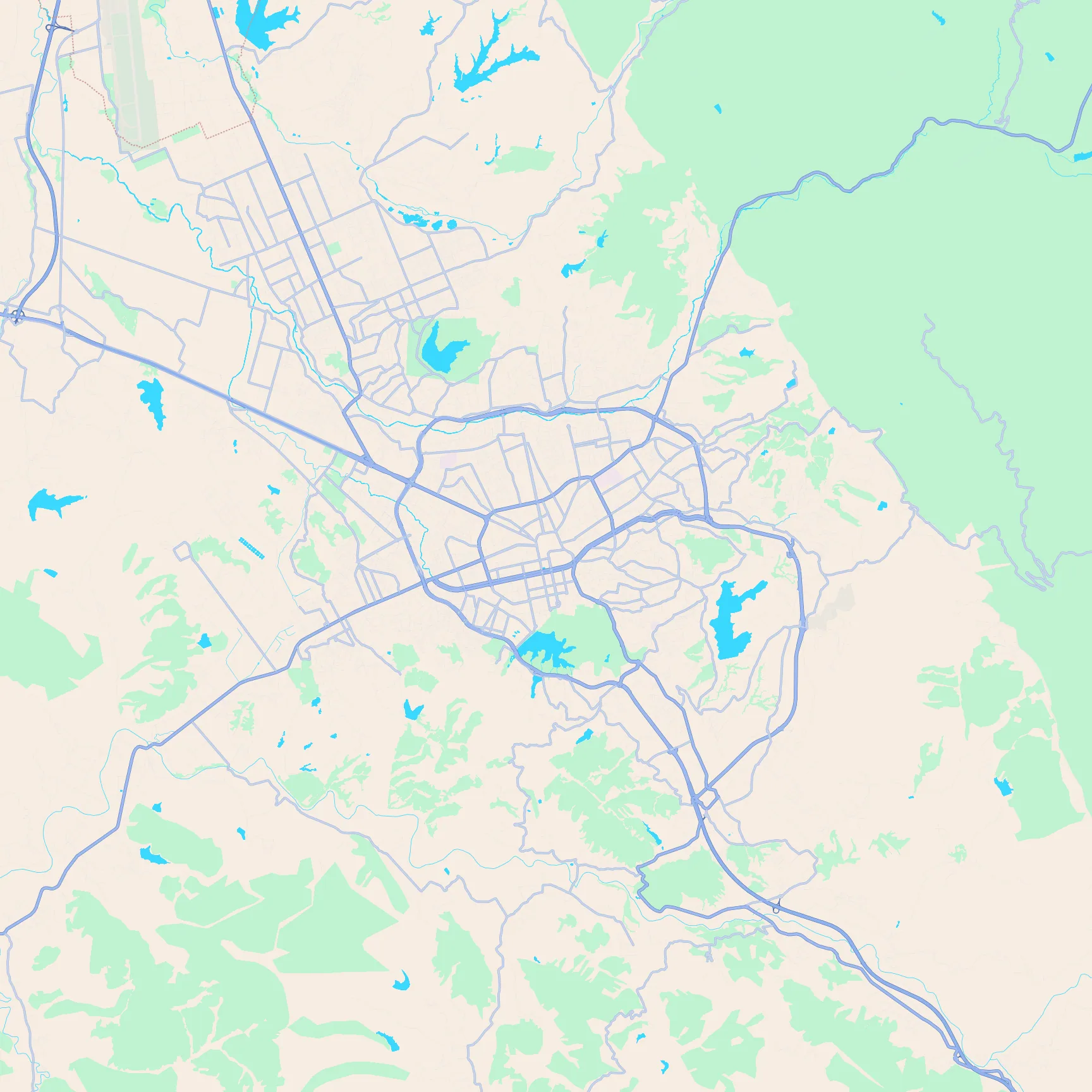
Key featuresA basin street grid with a clear centre, and the mountain edge rising sharply to the east.
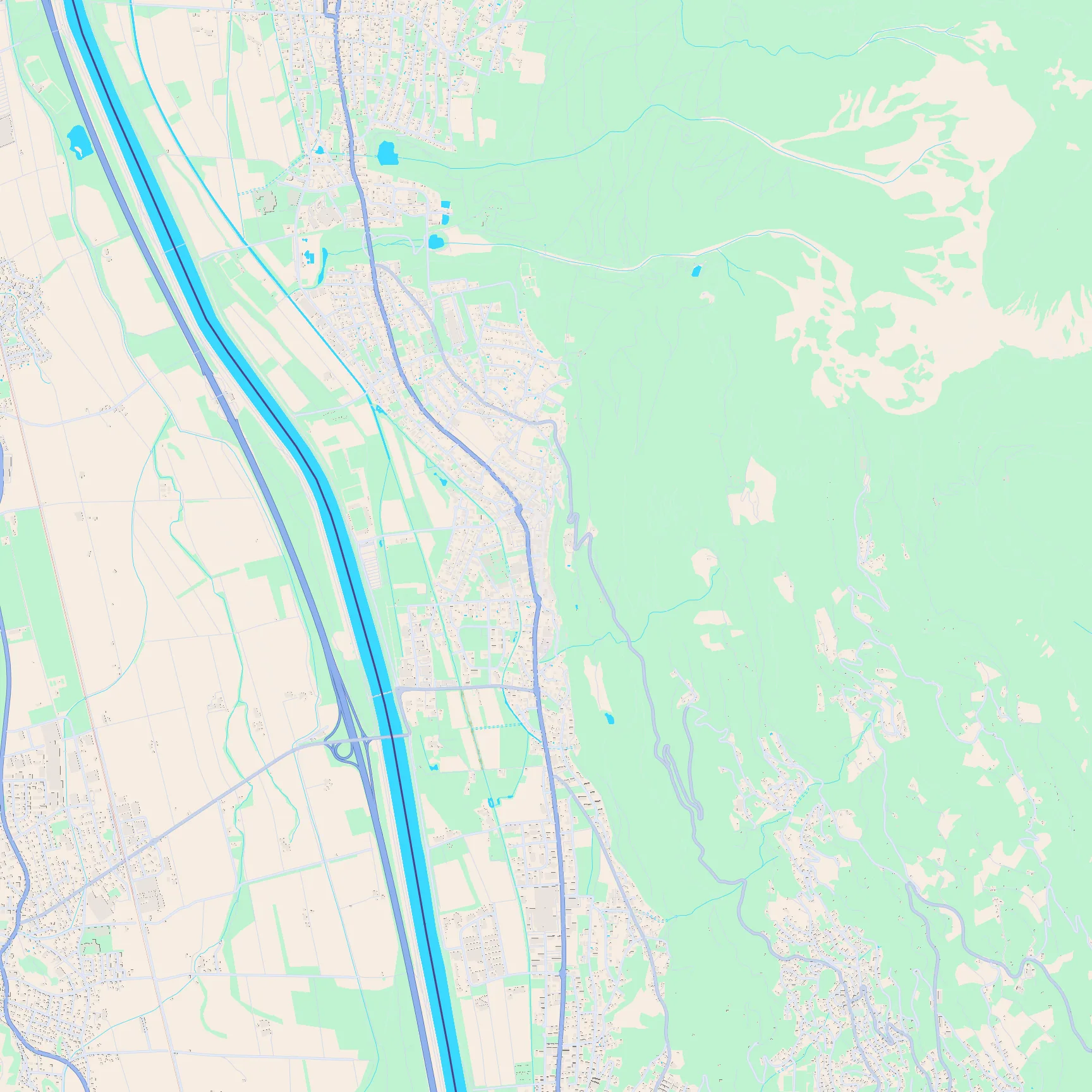
Key featuresA tiny Rhine valley capital between the river and canal, with the castle ridge rising to the east.
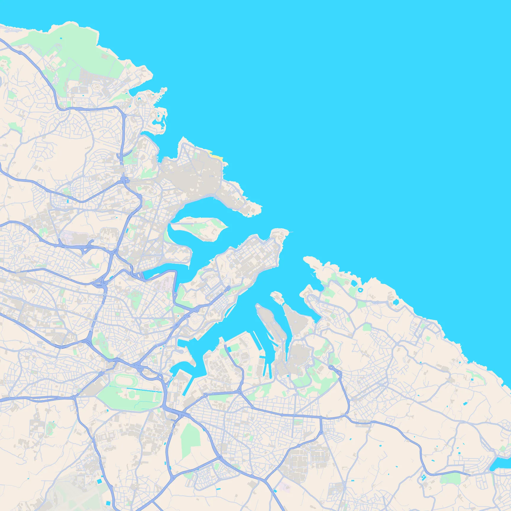
Key featuresA fortified peninsula tip between two deep harbour arms, with dense streets inside the walls.
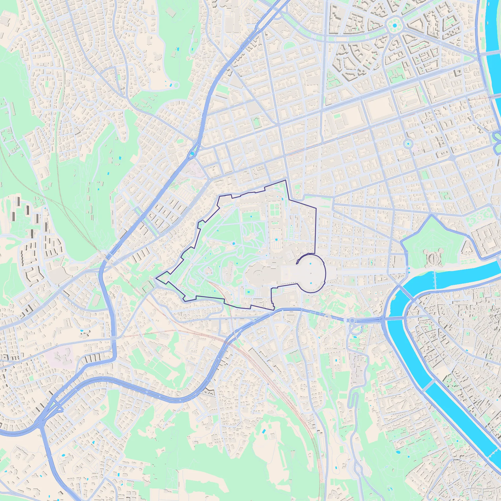
Key featuresThe tiny bordered enclave, St Peter's colonnade, the green Vatican Gardens, and the Tiber nearby.
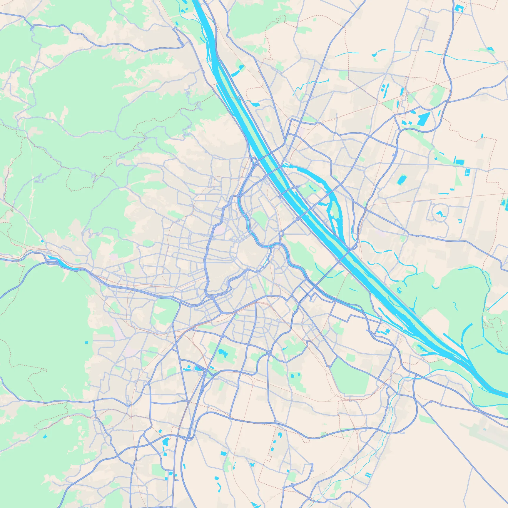
Key featuresThe wide Danube with Donauinsel, the ring around the old core, and the Vienna Woods green to the west.
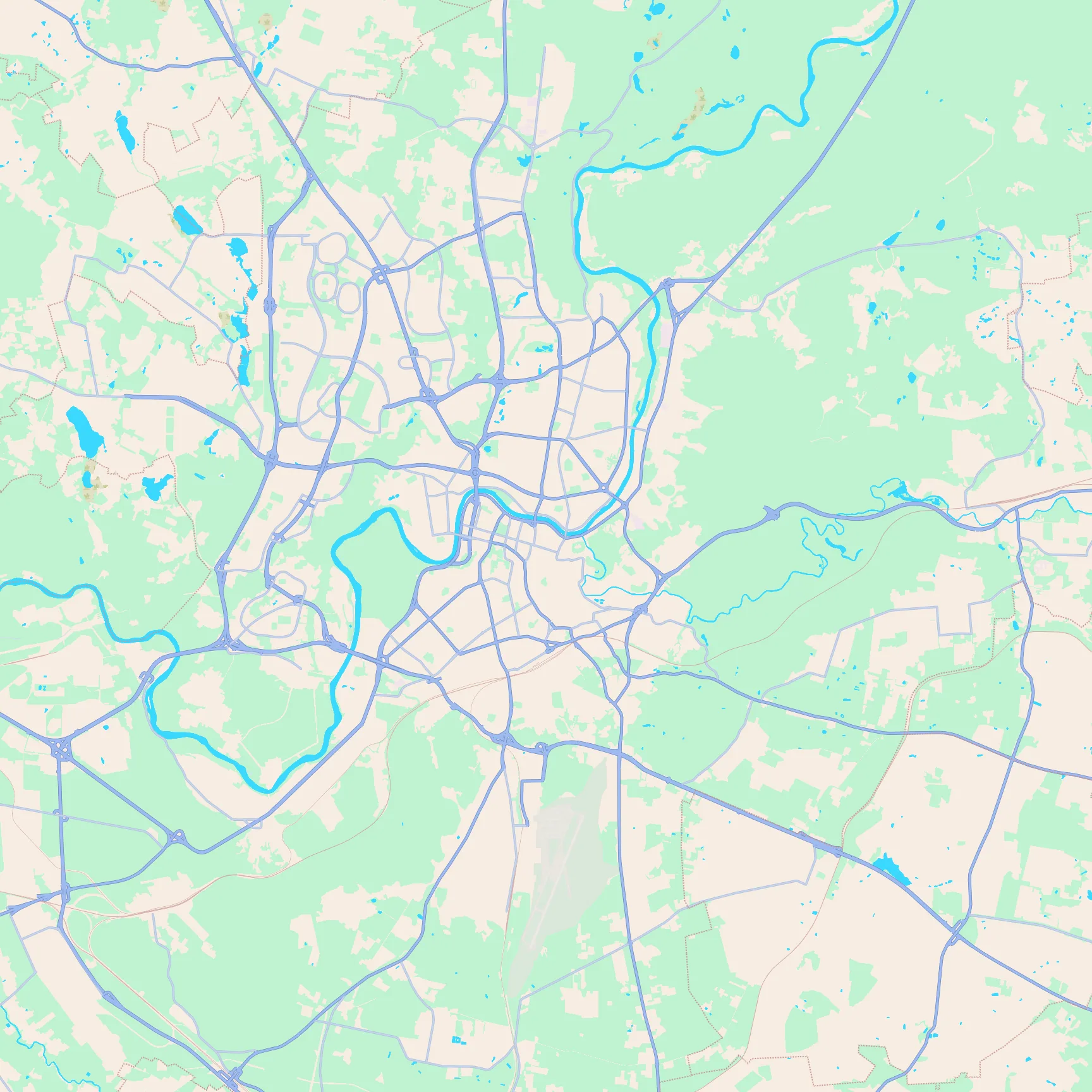
Key featuresThe Neris bend through the centre, the old town in the river fork, and large parks on the east side.
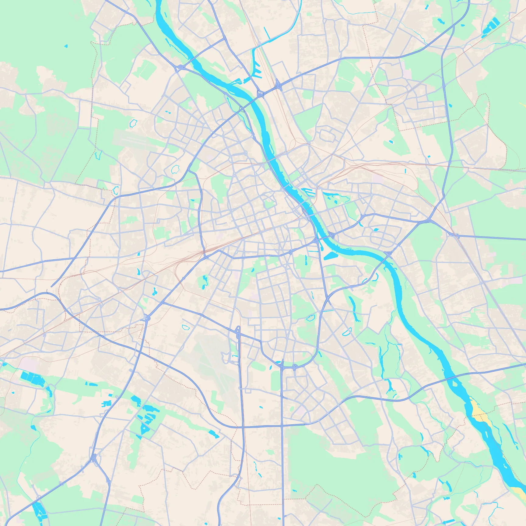
Key featuresThe wide Vistula corridor, the dense west-bank centre, and the big park belt south of the core.
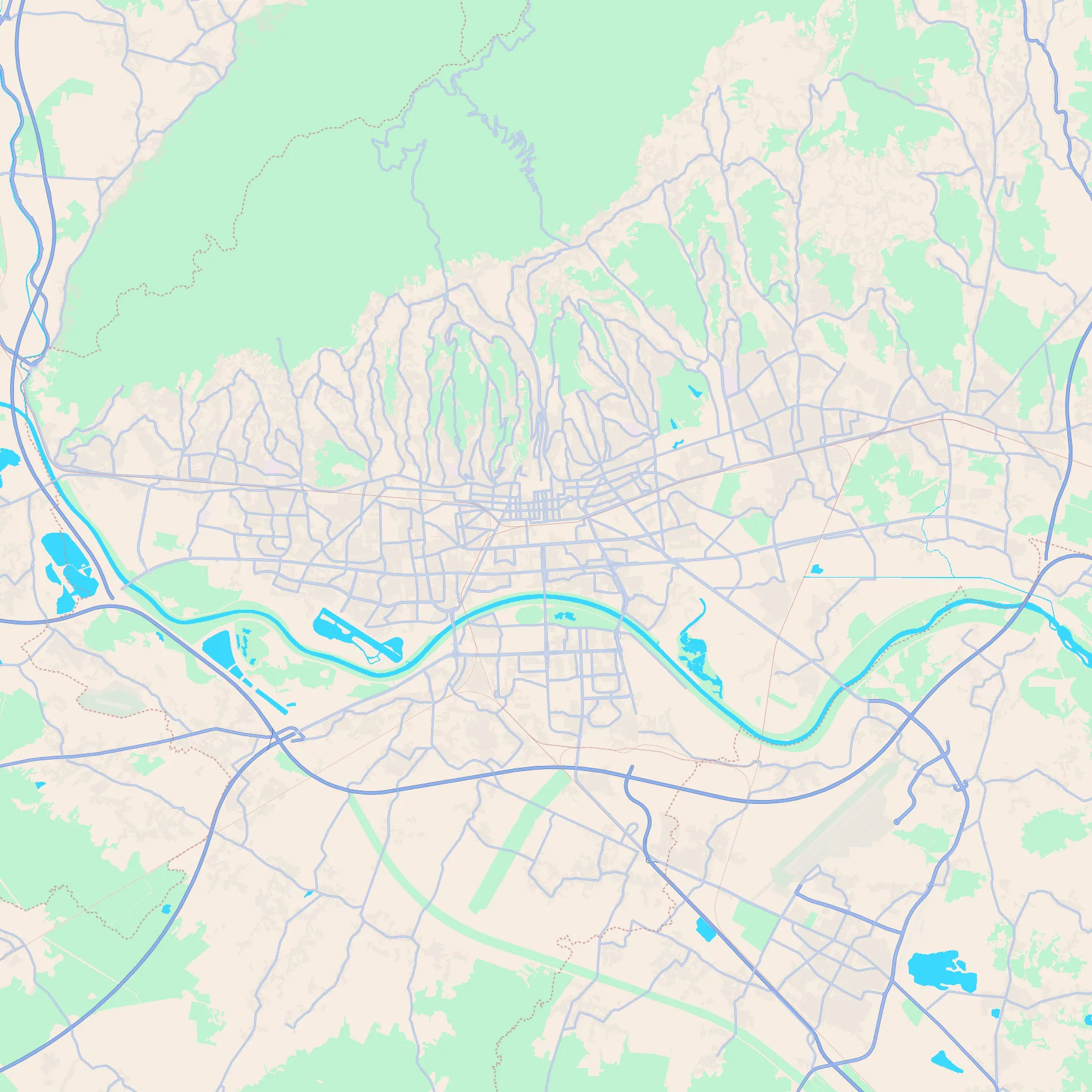
Key featuresForested hills to the north, the lower-town grid below, and the Sava with Jarun's long lake to the south.
Map images rendered with MapLibre and OpenFreeMap. Map data © OpenStreetMap contributors.