Draw the Country
Draw the Country
We name a country; you draw its outline from memory. Your drawing is laid over the real border and graded from A+ to F on its shape, outline, proportions and detail.
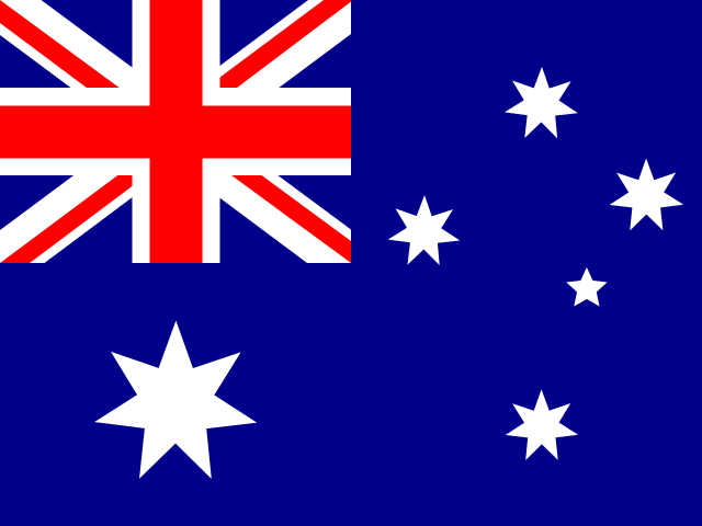 Australia
- Round
- 1
- Country
- 1 of 5
- Average
- –
How the grade works
Your drawing and the real outline are both centred and scaled to the same area, but not rotated: knowing which way a country points counts. Shape is how much the two filled shapes overlap; outline is how close the two borders run; proportions compare width and height; detail compares how many peninsulas, bays and inlets each shape has. A plain oval of the right proportions scores zero, so every point comes from the country's real features. Outlines from Natural Earth (public domain), Mercator projection, mainland only for countries with offshore islands.
Draw countries from memory
Recognising a country's outline is one thing; drawing it on a blank page is much harder. Each round names five countries, starting with the shapes most people know, such as Australia, Brazil, India and Italy. Draw each border in one line with north at the top, then compare your drawing with the real outline.
How your drawing is graded
The grade is plain geometry. Your drawing and the real outline are moved on top of each other and scaled to the same size, but never turned, because knowing which way a country points is part of knowing its shape. The score combines how much the two shapes overlap, how closely the borders follow each other, whether the width and height match, and whether you caught the peninsulas, bays and inlets.
A plain oval of the right size earns nothing, so a high grade means you drew the real features: Italy's boot, Florida, the Sinai. Rounds pick up where you left off on this device, and once you have drawn them all, the countries you found hardest come back first.