Interactive map
Croatia Map
Every county, city and town in Croatia on one zoomable map, with its main highways, rivers and lakes. Switch on towns and counties above the map and zoom in for every name; tap a county to see its population, area and largest towns.
Loading the map…
Printable maps of Croatia
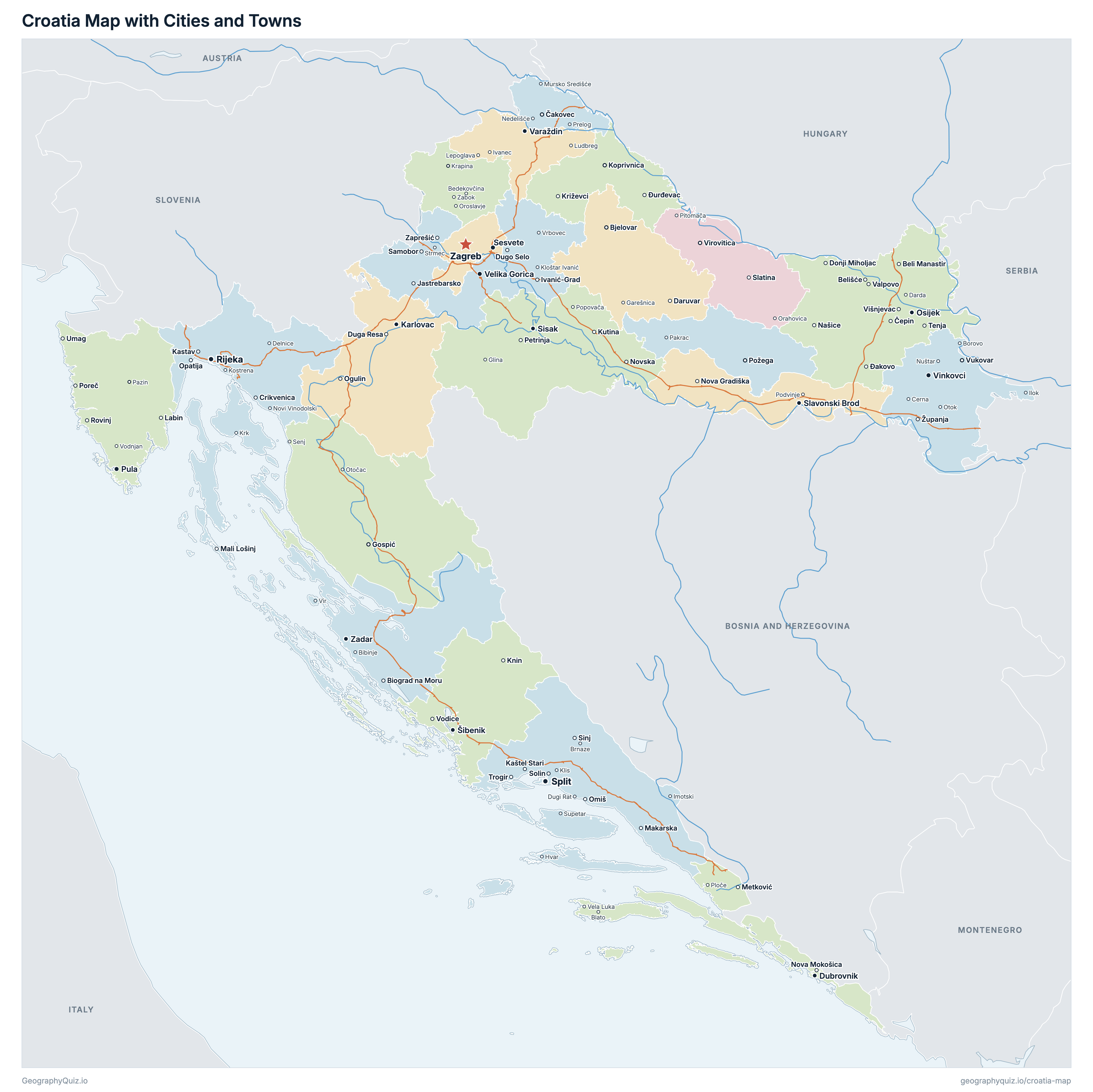
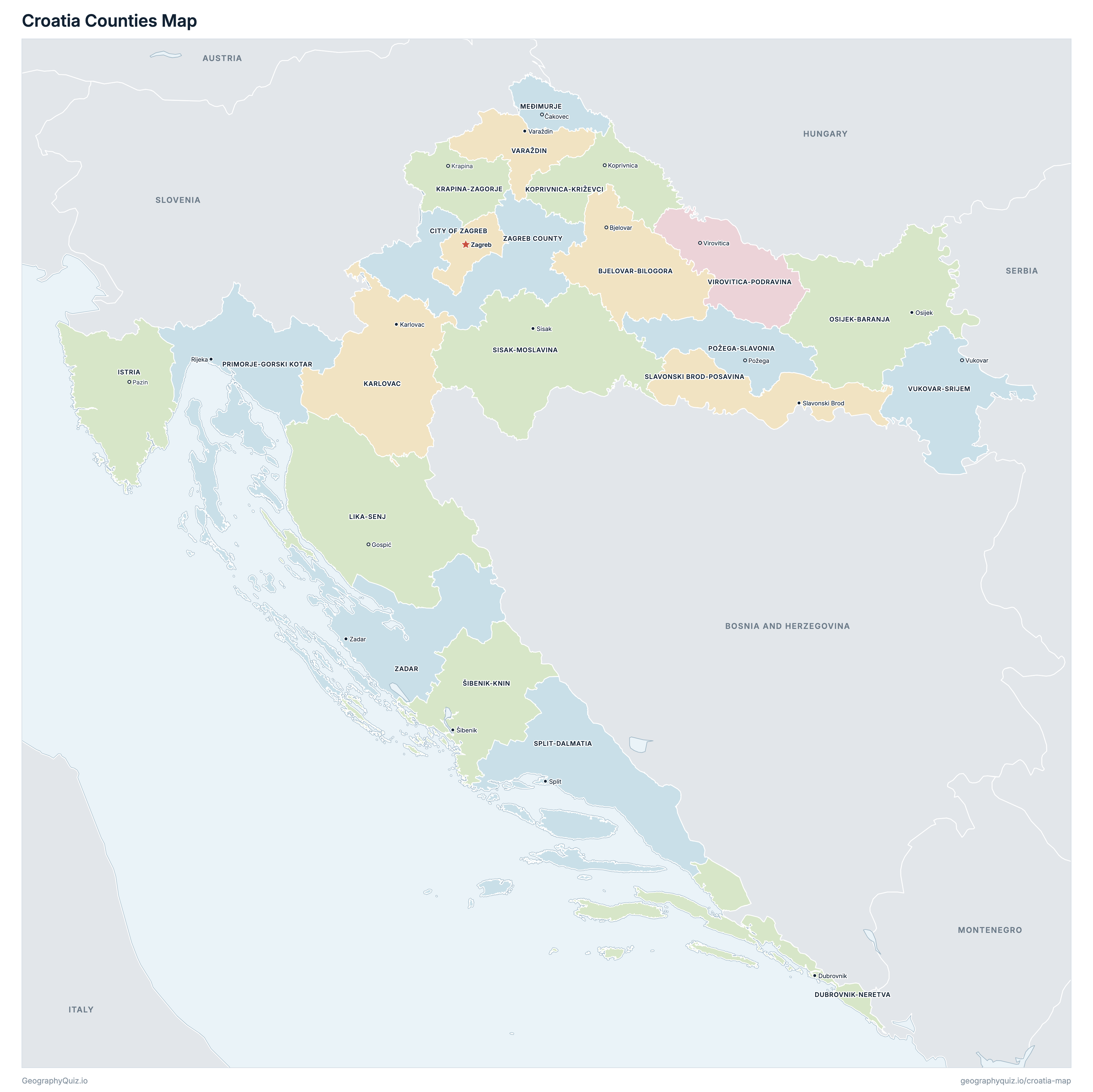
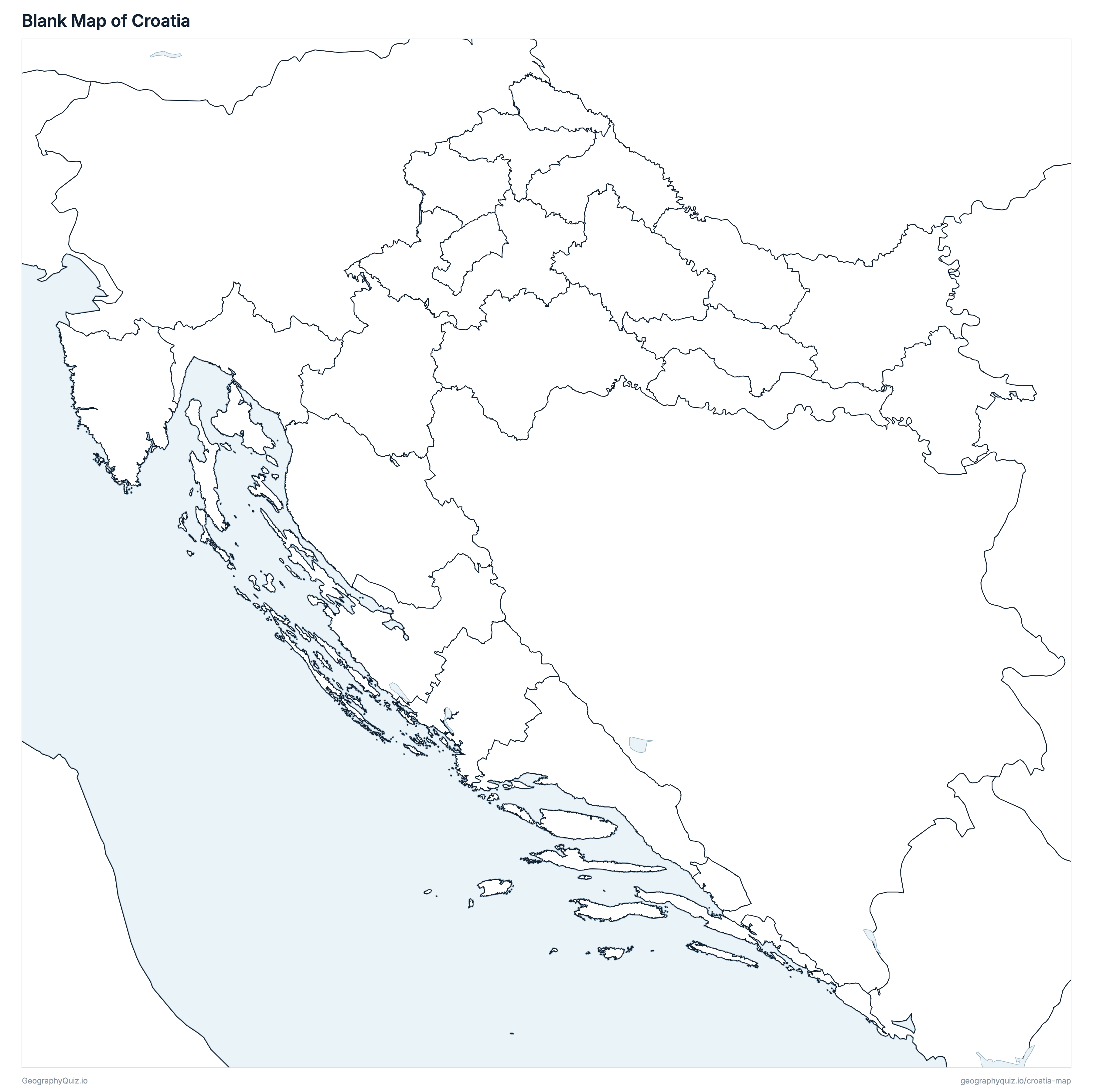
Free to print for class and home: Croatia with its cities and towns, a map of its counties, and a blank outline map. PDFs fit one A4 or US Letter page.
Croatia map with cities
Croatia counties map
About Croatia
Croatia has 21 counties and about 3,871,833 people (2021) on 56,559 km² (21,838 sq mi). Zagreb is both the capital and the largest city, with 663,592 people. It borders Slovenia, Hungary, Serbia, Bosnia and Herzegovina and Montenegro.
City of Zagreb is the most populous county (767,131 people) and Lika-Senj the least (42,748); Lika-Senj is the largest by area (5,355 km²) and City of Zagreb the smallest (641 km²).
Largest cities in Croatia
The 25 most populous cities and towns. All 128 are on the map above: switch on Towns and zoom in to see them.
| # | City | County | Population |
|---|---|---|---|
| 1 | Zagreb | City of Zagreb | 663,592 |
| 2 | Split | Split-Dalmatia | 149,830 |
| 3 | Rijeka | Primorje-Gorski kotar | 107,964 |
| 4 | Osijek | Osijek-Baranja | 75,535 |
| 5 | Zadar | Zadar | 67,309 |
| 6 | Sesvete | City of Zagreb | 55,313 |
| 7 | Pula | Istria | 52,220 |
| 8 | Slavonski Brod | Slavonski Brod-Posavina | 45,005 |
| 9 | Karlovac | Karlovac | 41,869 |
| 10 | Varaždin | Varaždin | 36,187 |
| 11 | Šibenik | Šibenik-Knin | 31,115 |
| 12 | Velika Gorica | Zagreb County | 30,036 |
| 13 | Vinkovci | Vukovar-Srijem | 28,111 |
| 14 | Sisak | Sisak-Moslavina | 27,859 |
| 15 | Dubrovnik | Dubrovnik-Neretva | 26,922 |
| 16 | Bjelovar | Bjelovar-Bilogora | 24,392 |
| 17 | Koprivnica | Koprivnica-Križevci | 22,262 |
| 18 | Vukovar | Vukovar-Srijem | 22,255 |
| 19 | Solin | Split-Dalmatia | 20,996 |
| 20 | Zaprešić | Zagreb County | 18,768 |
| 21 | Samobor | Zagreb County | 16,911 |
| 22 | Đakovo | Osijek-Baranja | 16,875 |
| 23 | Požega | Požega-Slavonia | 16,867 |
| 24 | Čakovec | Međimurje | 15,078 |
| 25 | Metković | Dubrovnik-Neretva | 13,971 |
Populations are the 2021 Census of Population, Households and Dwellings (DZS, reference date 31 August 2021). A town's figure is its settlement (naselje: the town itself, without the villages of its town or municipality), so Sesvete, part of the City of Zagreb, is counted on its own. Zagreb County surrounds the City of Zagreb, and its seat is in Zagreb.
Counties of Croatia
All 21 counties. Select one to show it on the map.
| Bjelovar | 101,879 | 2,639 | |
| Zagreb | 767,131 | 641 | |
| Dubrovnik | 115,564 | 1,783 | |
| Pazin | 195,237 | 2,812 | |
| Karlovac | 112,195 | 3,625 | |
| Koprivnica | 101,221 | 1,748 | |
| Krapina | 120,702 | 1,230 | |
| Gospić | 42,748 | 5,355 | |
| Čakovec | 105,250 | 729 | |
| Osijek | 258,026 | 4,146 | |
| Požega | 64,084 | 1,823 | |
| Rijeka | 265,419 | 3,588 | |
| Šibenik | 96,381 | 2,969 | |
| Sisak | 139,603 | 4,468 | |
| Slavonski Brod | 130,267 | 2,028 | |
| Split | 423,407 | 4,539 | |
| Varaždin | 159,487 | 1,260 | |
| Virovitica | 70,368 | 2,023 | |
| Vukovar | 143,113 | 2,448 | |
| Zadar | 159,766 | 3,643 | |
| Zagreb | 299,985 | 3,062 |
Quizzes and worksheets
Sources
- Counties and the City of Zagreb: Državna geodetska uprava (State Geodetic Administration), Register of Spatial Units, INSPIRE Administrative Units (open data, geoportal.dgu.hr), with their areas.
- Populations: Državni zavod za statistiku (Croatian Bureau of Statistics), Census of Population, Households and Dwellings 2021, population by settlements (podaci.dzs.hr).
- Town locations: the census settlements' outlines in the State Geodetic Administration's Register of Spatial Units.
- Motorways: Hrvatske autoceste (Croatian Motorways), network of the motorways it manages (INSPIRE road network service, geoportal.hac.hr).