Interactive map
Costa Rica Map
Every province, city and town in Costa Rica on one zoomable map, with its main highways, rivers and lakes. Switch on towns and provinces above the map and zoom in for every name; tap a province to see its population, area and largest towns.
Loading the map…
Printable maps of Costa Rica
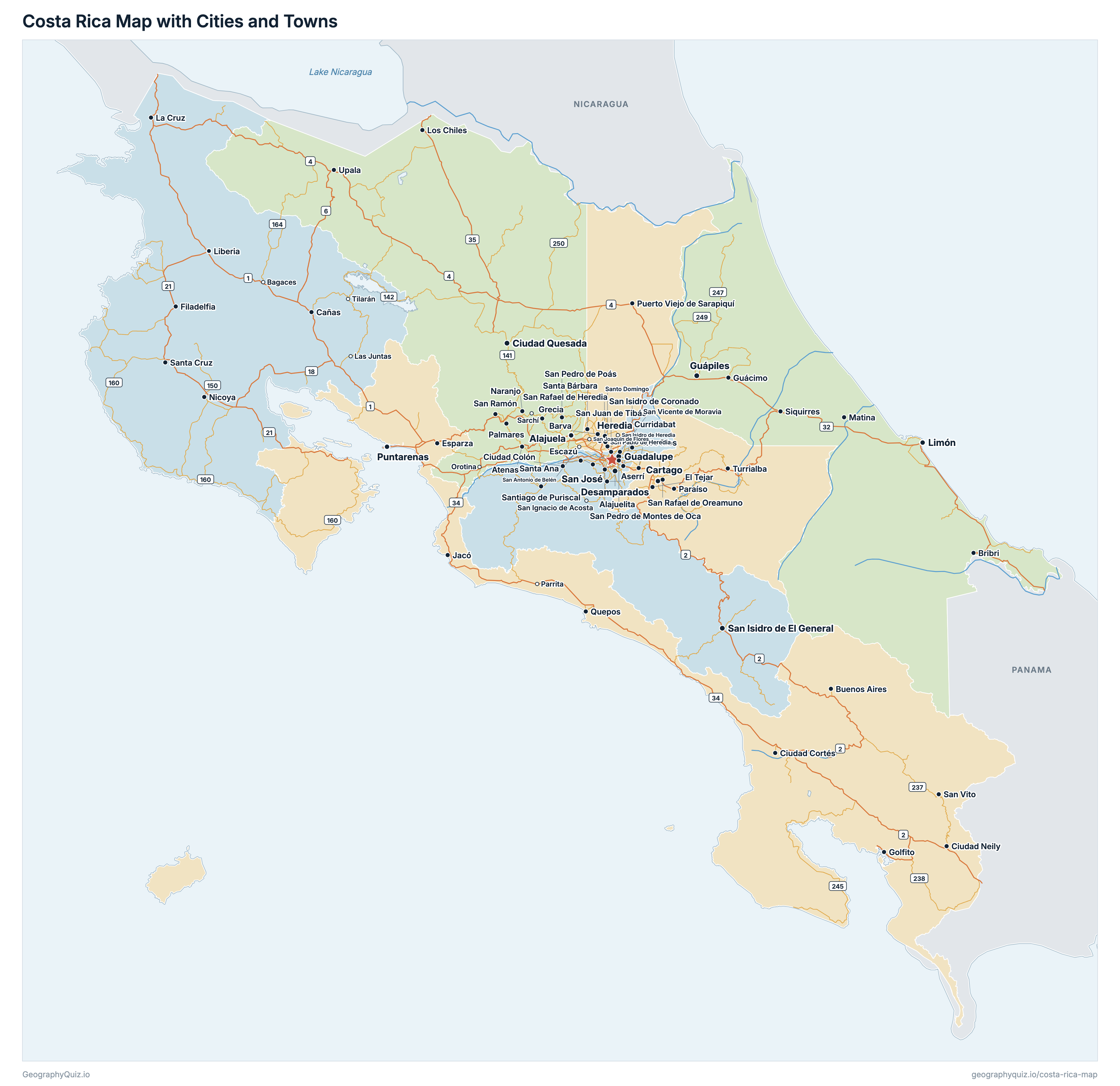
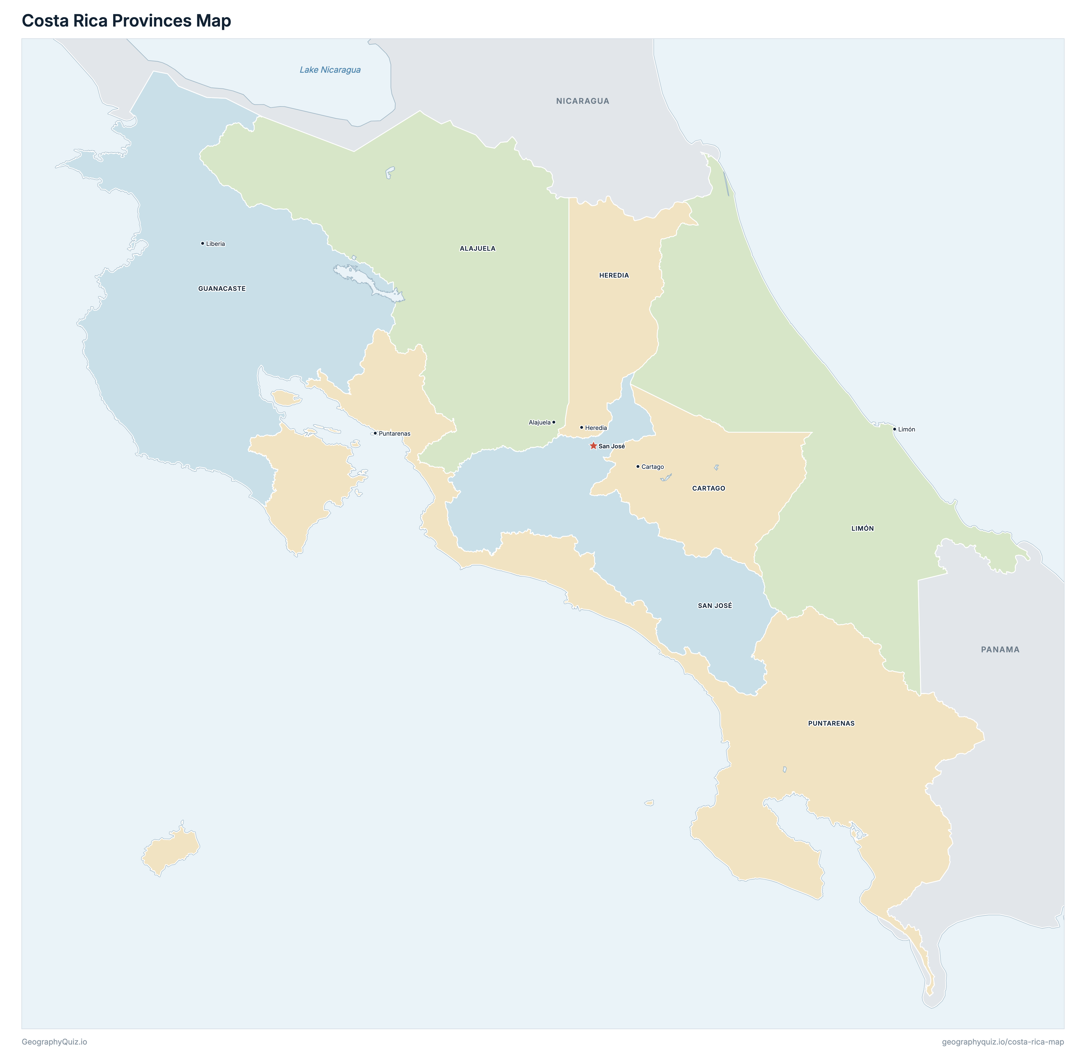
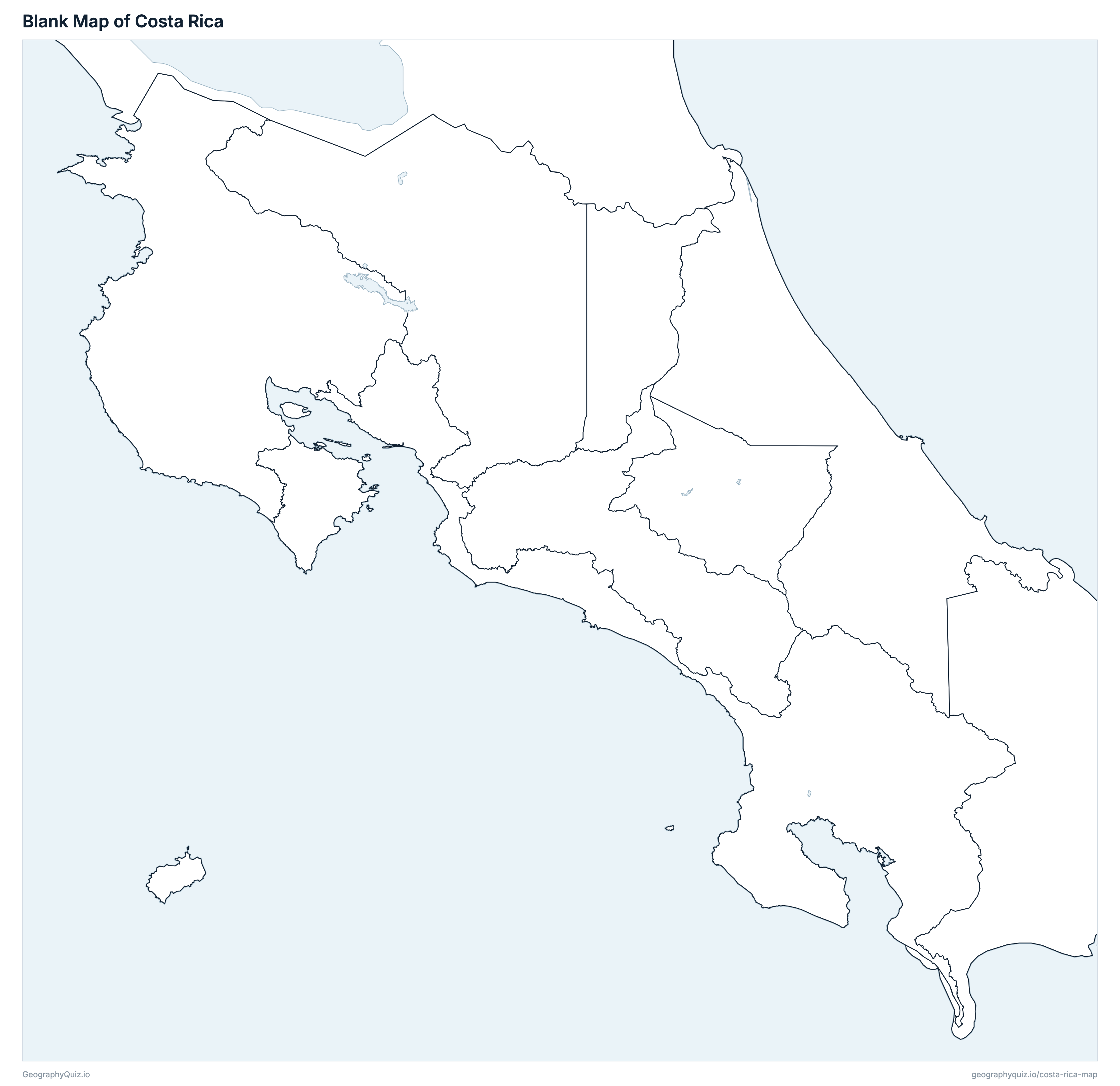
Free to print for class and home: Costa Rica with its cities and towns, a map of its provinces, and a blank outline map. PDFs fit one A4 or US Letter page.
Costa Rica map with cities
Costa Rica provinces map
About Costa Rica
Costa Rica has 7 provinces and about 5,044,197 people (2022) on 51,169 km² (19,756 sq mi). San José is both the capital and the largest city, with 352,381 people. It borders Nicaragua and Panama.
San José is the most populous province (1,601,167 people) and Guanacaste the least (412,808); Puntarenas is the largest by area (11,299 km²) and Heredia the smallest (2,664 km²).
Largest cities in Costa Rica
The 25 most populous cities and towns. All 69 are on the map above: switch on Towns and zoom in to see them.
| # | City | Province | Population |
|---|---|---|---|
| 1 | San José | San José | 352,381 |
| 2 | Alajuela | Alajuela | 322,143 |
| 3 | Desamparados | San José | 223,226 |
| 4 | Ciudad Quesada | Alajuela | 198,742 |
| 5 | Cartago | Cartago | 165,417 |
| 6 | San Isidro de El General | San José | 156,917 |
| 7 | Guápiles | Limón | 146,320 |
| 8 | Puntarenas | Puntarenas | 136,311 |
| 9 | Guadalupe | San José | 132,104 |
| 10 | Heredia | Heredia | 131,901 |
| 11 | Limón | Limón | 116,457 |
| 12 | Tres Ríos | Cartago | 99,539 |
| 13 | San Ramón | Alajuela | 93,264 |
| 14 | Turrialba | Cartago | 82,065 |
| 15 | Alajuelita | San José | 81,012 |
| 16 | Liberia | Guanacaste | 80,130 |
| 17 | Grecia | Alajuela | 76,226 |
| 18 | San Juan de Tibás | San José | 74,592 |
| 19 | Santa Cruz | Guanacaste | 72,366 |
| 20 | Escazú | San José | 71,500 |
| 21 | Curridabat | San José | 71,026 |
| 22 | Puerto Viejo de Sarapiquí | Heredia | 67,153 |
| 23 | San Isidro de Coronado | San José | 67,078 |
| 24 | Nicoya | Guanacaste | 66,268 |
| 25 | Paraíso | Cartago | 65,941 |
Populations are INEC's 2022 figures from the 2022 census (Estimación de Población y Vivienda 2022). A province's figure is the sum of its cantons. Each town is shown with the population of the canton it is the head city of, so San José is the central canton of San José, not the whole metropolitan area. Monteverde and Puerto Jiménez, cantons since 2022, are counted with the districts INEC published for them. Cocos Island, part of Puntarenas some 530 km south-west of the mainland, is drawn as an enlarged inset off the Pacific coast.
Provinces of Costa Rica
All 7 provinces. Select one to show it on the map.
| Alajuela | 1,035,464 | 9,772 | |
| Cartago | 545,092 | 3,094 | |
| Liberia | 412,808 | 10,192 | |
| Heredia | 479,117 | 2,664 | |
| Limón | 470,383 | 9,177 | |
| Puntarenas | 500,166 | 11,299 | |
| San José | 1,601,167 | 4,971 |
Sources
- Provinces: Instituto Geográfico Nacional (IGN), provincial boundaries at 1:5,000, Sistema Nacional de Información Territorial (SNIT), snitcr.go.cr; areas: INEC, Anuario Estadístico 2022–2023.
- Populations: Instituto Nacional de Estadística y Censos (INEC), Estimación de Población y Vivienda 2022 (the 2022 census results), by province, canton and district (Anuario Estadístico 2022–2023, inec.cr).
- Town locations: IGN, Tabla de Centros Poblados y Localidades 2026 (the cantons' head cities), snitcr.go.cr.
- National roads, lakes and reservoirs, and Isla del Caño: IGN, road network, water bodies and outline of the country at 1:200,000, SNIT.